TorontoOntario · 36 tours
 Niagara FallsOntario · 25 tours
 New York CityNew York · 30 tours
 Las VegasNevada · 8 tours
 San FranciscoCalifornia · 16 tours
 VancouverBritish Columbia · 17 tours
 DubaiUAE · 54 tours
 Abu DhabiUAE · 5 tours
 Buenos AiresArgentina · 23 tours
 AthensGreece · 31 tours
 AucklandNew Zealand · 38 tours
 CancunMexico · 54 tours
No destinations match “”. Try searching all tours instead — that search understands full questions, not just place names.
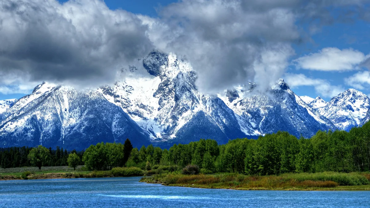
The major river running the length of Jackson Hole, fed by snowmelt from the Teton Range and known for both its scenic overlooks and its native fine-spotted cutthroat trout. It's the setting for the park's private drift-boat and wade fly-fishing trips.
 Private Tours
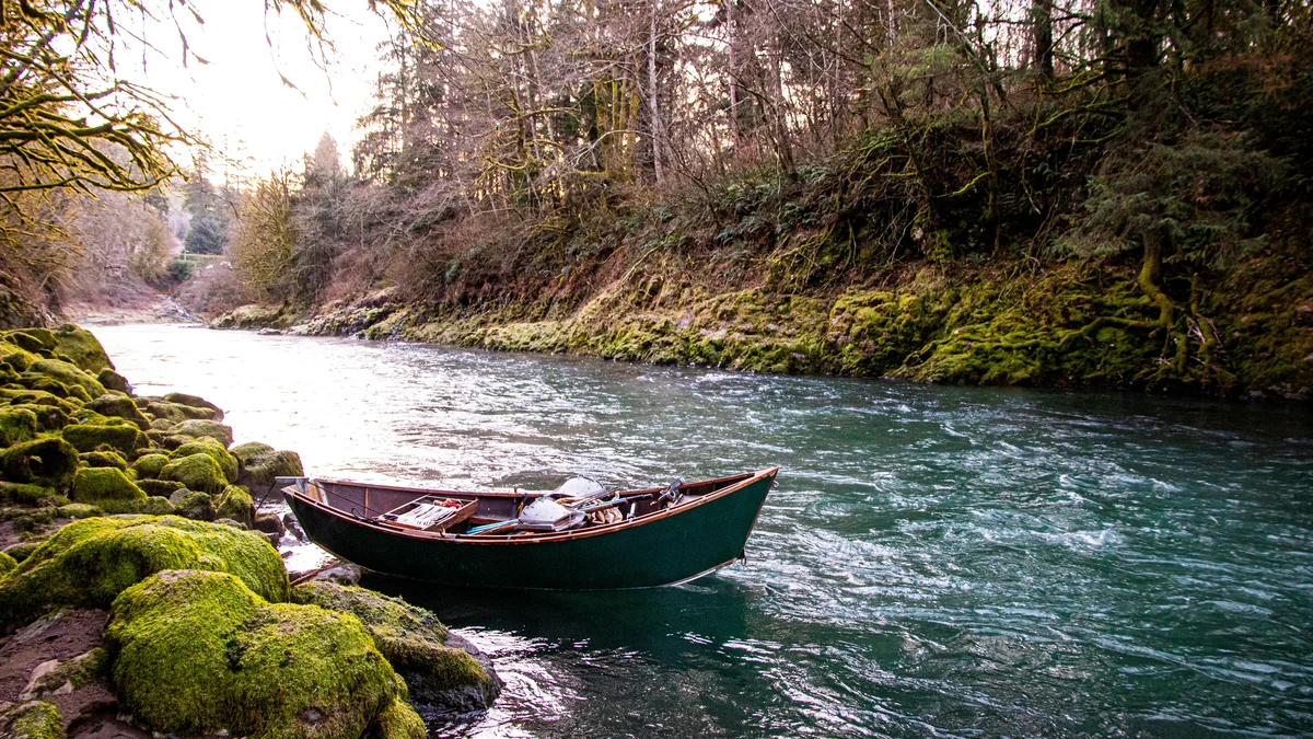
Float the Snake River in a drift boat with your own private fishing guide, casting for the river's native fine-spotted cutthroat trout with all gear provided.
 Private Tours
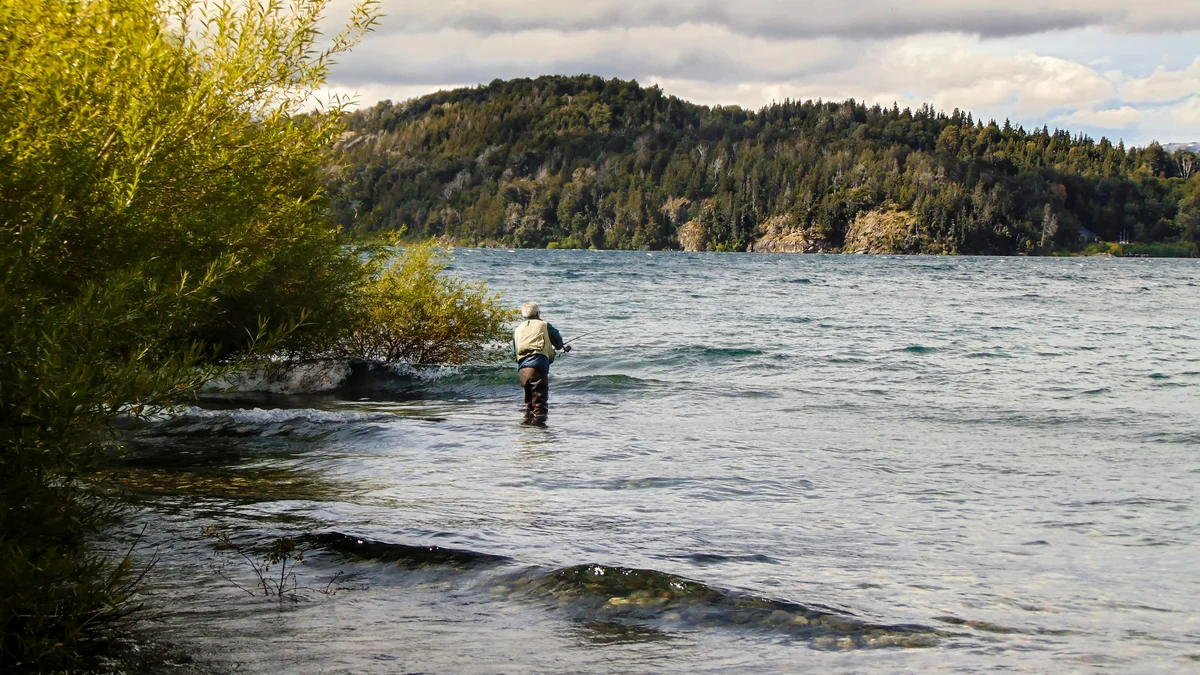
Wade into a Jackson Hole-area river with your own private fly fishing guide, learning the best local spots without sharing the guide's attention with anyone else.
 Private Tours
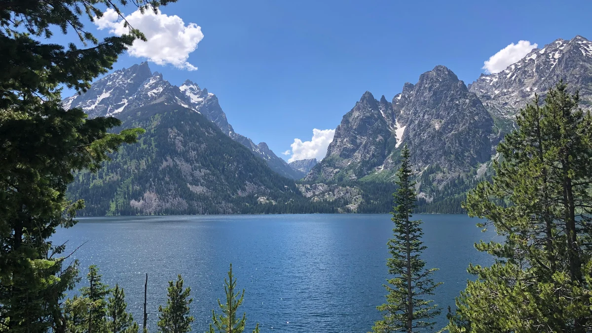
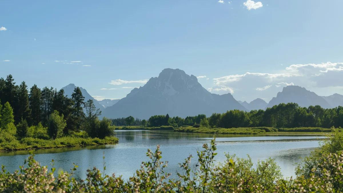
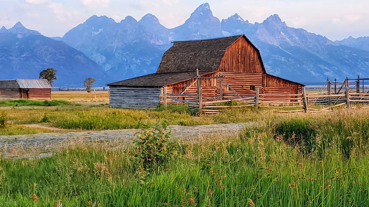
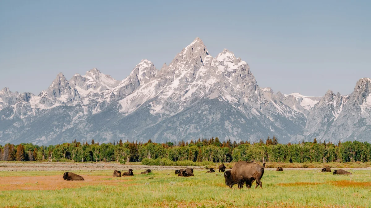
A private afternoon tour hitting Mormon Row, Oxbow Bend, Jenny Lake, and the Snake River, finishing with a picnic dinner served outdoors as the light fades.
Visitor guide
The Snake River rises in the Rocky Mountains of western Wyoming and runs for about 1,080 miles, making it the largest tributary of the Columbia River. Its first stretch crosses Grand Teton National Park, where it flows into Jackson Lake and then south through the valley of Jackson Hole beneath the Teton Range.
The river begins north of Two Ocean Pass near the southern border of Yellowstone National Park at about 9,200 feet. It flows west through the Teton Wilderness, then south into Jackson Lake. Below Jackson Lake Dam it is joined by Pacific Creek and the Buffalo Fork, and it meanders through Jackson Hole between the Teton Range and the Gros Ventre Range. The Gros Ventre River is another major tributary within the park. The river exits the park just west of Jackson Hole Airport, then forms the Snake River Canyon of Wyoming below the town of Jackson before turning west into Idaho.
The Snake's basin covers about 107,500 square miles, roughly 40 percent of the Columbia's watershed, and drains most of Idaho along with parts of Washington, Oregon, Wyoming, Utah and Nevada. Beyond the park, the river crosses the Snake River Plain, forms part of the Oregon-Idaho border, and runs through Hells Canyon, one of North America's deepest canyons, before joining the Columbia near Burbank, Washington.
In Idaho, Wikipedia notes that cataracts in the canyon drop about 1,300 feet over 70 miles, and Shoshone Falls, 212 feet tall, was once nicknamed the Niagara of the West. Flow peaks in late spring and early summer from snowmelt and is lowest in fall, and springs fed by the Eastern Snake River Plain Aquifer help keep the river flowing through dry summers. Geologists link the Snake River Plain to volcanism from the Yellowstone hotspot, and Ice Age floods helped shape canyons and waterfalls along the lower river.
The Shoshone called the river Yampapah, after a plant on its banks. The English name likely comes from a misreading of the Shoshone sign for salmon, which resembled the Plains sign for snake. The Nez Perce called it Kimooenim. Salmon fishing was central to the Nez Perce, Shoshone and Bannock peoples, who were the main tribes along the river by the 1800s, and human presence in the Teton area dates back more than 11,000 years.
Lewis and Clark were the first non-Native Americans to see the river, in 1805. John Colter, a member of that expedition, is credited as the first to see the Teton Range, in the winter of 1807-08, and fur trappers worked the region until about 1840; Jackson Hole is named for the trapper David Edward Jackson. The Oregon Trail crossed the Snake River in the 1840s, and the first permanent settlers reached Jackson Hole in the 1880s. Grand Teton National Park, which protects the river's headwater stretch, was established in 1929.
Jackson Lake Dam, completed in 1911 and raised in 1916, is part of the Bureau of Reclamation's Upper Snake system, and Reclamation works with the Army Corps of Engineers to balance water supply and flood risk. That is why flows below the dam are managed rather than purely natural. Water released from Jackson Lake is collected by Minidoka and American Falls dams more than 100 miles downstream for irrigation in Idaho.
The park has more than a dozen fish species, and the NPS lists the Snake River fine-spotted cutthroat trout as the native trout. The cutthroat is named for the red slash under its lower jaw and feeds mainly on insects and smaller fish. Fish are a key food for birds and mammals, and bald eagles depend on them.
The NPS says the Snake River is the only river in the park open to floating. Floating is not allowed within 1,000 feet of Jackson Lake Dam, and the river is closed to floating and public entry in winter from the Buffalo Fork confluence south to Menors Ferry. The NPS describes the river as braided and swift, with access points including Pacific Creek Landing and Jackson Lake Dam Landing, and says it should be attempted only by experienced paddlers; the NPS fishing guide has current fishing rules.
Oxbow Bend and the river overlooks are the easiest places to see the Snake from the road. Check the NPS for current river conditions, closures and regulations.
On a Voyzo private tour, a private vehicle and driver with door-to-door pickup can link the river's overlooks with the lakes and historic sites.
See every tour and attraction we cover in Grand Teton National Park.