TorontoOntario · 36 tours
 Niagara FallsOntario · 25 tours
 New York CityNew York · 30 tours
 Las VegasNevada · 8 tours
 San FranciscoCalifornia · 16 tours
 VancouverBritish Columbia · 17 tours
 DubaiUAE · 54 tours
 Abu DhabiUAE · 5 tours
 Buenos AiresArgentina · 23 tours
 AthensGreece · 31 tours
 AucklandNew Zealand · 38 tours
 CancunMexico · 54 tours
No destinations match “”. Try searching all tours instead — that search understands full questions, not just place names.
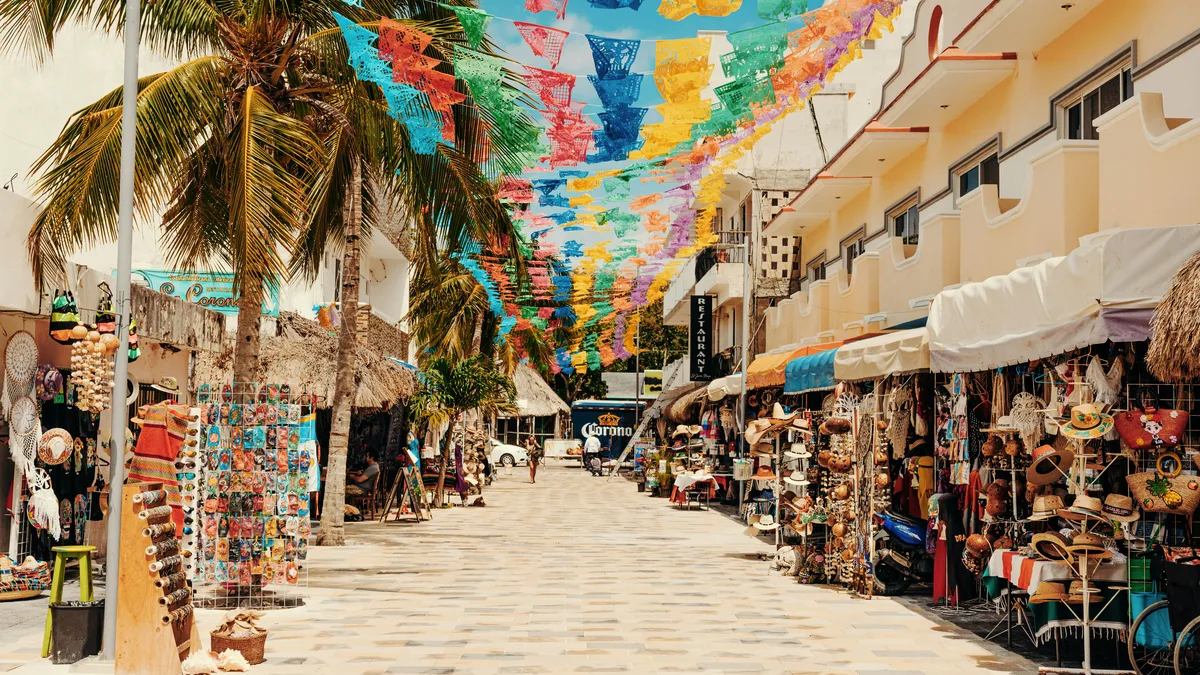
Playa del Carmen's pedestrian-only main street, running roughly parallel to the beach through the heart of downtown, with its pedestrian stretch often given as about 2 kilometres. It's lined with open-air restaurants, boutiques, bars, and street performers, and is the city's social and commercial center both day and night.
 Private Tours
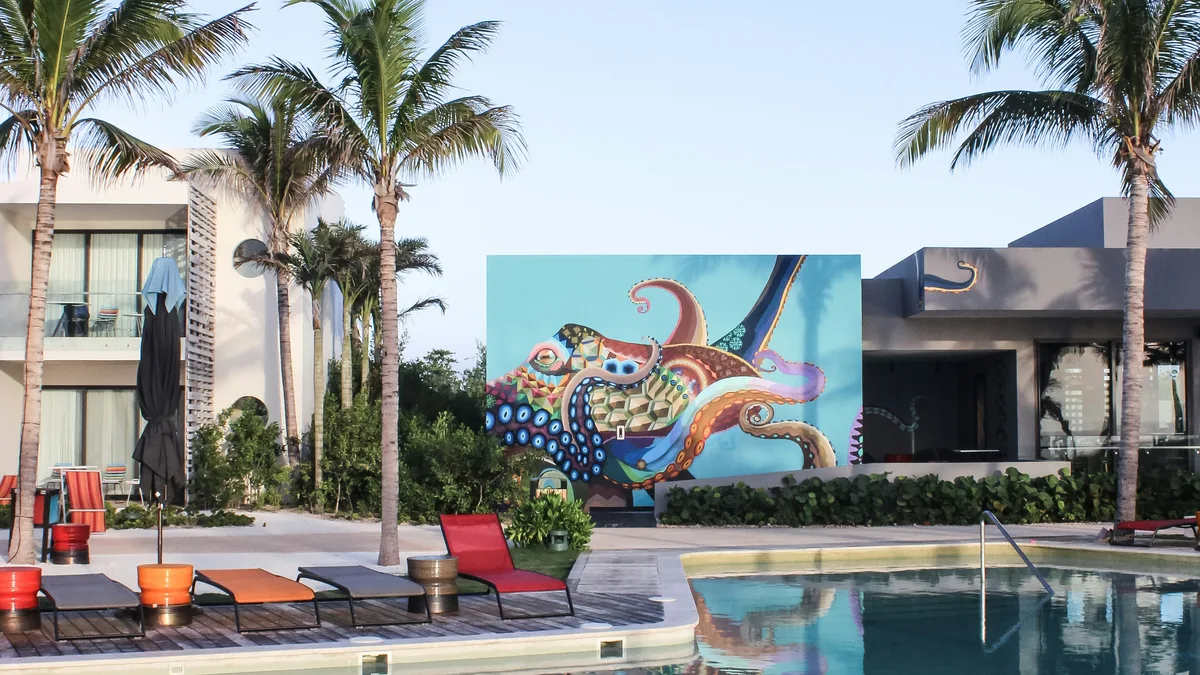
A local guide walks you through Playa del Carmen's history, street art scene, and family-friendly neighborhoods, with a stop for local ice cream.
 Private Tours
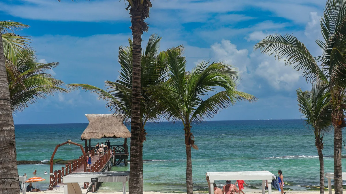
A flexible private tour of Playa del Carmen covering Fifth Avenue, the Fundadores Park monument, and the Paseo Xaman-Ha area.
Visitor guide
Quinta Avenida, or Fifth Avenue, is the busy pedestrian main street of Playa del Carmen, a resort city on the Caribbean coast of Quintana Roo, Mexico. Lined with shops, restaurants and clubs, it is the heart of the downtown area and runs roughly parallel to the beach.
Playa del Carmen lies about 68 kilometres from Cancun within the Riviera Maya. Sources give differing founding dates: local accounts mark the town's founding on 14 November 1902, when a chicle company named the settlement Del Carmen, and describe it as originally a small fishing community. Tourism began with the passenger ferry to Cozumel, an island across the channel known for scuba diving. Growth was rapid: Wikipedia gives 17,621 residents in 1995, 43,613 in 2000, 100,383 in 2005, 149,923 in 2010 and 304,942 in the 2020 census, making it the state's second-largest city.
Atlas Obscura reports that the 1970 census recorded some 300 people in the town, mostly fishermen and ferry employees, and that the growth of Cancun in the 1970s and 80s spurred its development, with Playa becoming a destination of its own by the 1990s. By the turn of the century Quinta Avenida was already an attraction.
Wikipedia describes the downtown area as centring on Quinta Avenida, a busy pedestrian street lined with shops, clubs and restaurants. Sources disagree on exact length and boundaries. Some describe a pedestrian stretch of about 2 kilometres, others give figures of 4 or 5 kilometres for the avenue as a whole, and the northern end is variously placed at Calle 38, 40 Norte or 42 Norte, while Calle 1 is consistently given as the southern anchor.
Local sources describe the avenue as the town's main artery since tourism took hold, though none consulted gives a date for when it became pedestrian-only.
The coast around Playa del Carmen was promoted as the Cancun to Tulum corridor until 1999, when it was renamed the Riviera Maya, modeled on the Italian and French Rivieras, according to Wikipedia. The Mesoamerican Reef runs along this coast, and the region is known for cenotes, limestone sinkholes whose groundwater stays at about 25 degrees Celsius year-round. Maya sites in the wider region include Tulum on the coast and Coba and Chichen Itza inland.
The street sits close to the ferry terminal, where passenger ferries cross to Cozumel, and to the beaches along the main town shoreline. Just south of town is the gated Playacar area, where part of the Maya settlement of Xaman-Ha survives, and the Xcaret eco-park. Cruise ships dock at the Calica quarry docks about 10 kilometres south of the city.
Playa del Carmen has a tropical savanna climate. Most rain falls from June to November, with October the wettest month and March the driest, and Wikipedia gives average annual rainfall of 1,331 millimetres. Summer and winter school breaks are the busiest tourist seasons. In October 2005 Hurricane Wilma passed directly over the city for two days and caused significant damage, and Wikipedia says most of it was repaired within weeks.
Because the street is pedestrian, a private tour with a driver typically drops visitors at one end so they can walk it at their own pace. A guide can add context on how a fishing village turned into one of Quintana Roo's major resort cities.
See every tour and attraction we cover in Playa del Carmen.