TorontoOntario · 36 tours
 Niagara FallsOntario · 25 tours
 New York CityNew York · 30 tours
 Las VegasNevada · 8 tours
 San FranciscoCalifornia · 16 tours
 VancouverBritish Columbia · 17 tours
 DubaiUAE · 54 tours
 Abu DhabiUAE · 5 tours
 Buenos AiresArgentina · 23 tours
 AthensGreece · 31 tours
 AucklandNew Zealand · 38 tours
 CancunMexico · 54 tours
No destinations match “”. Try searching all tours instead — that search understands full questions, not just place names.
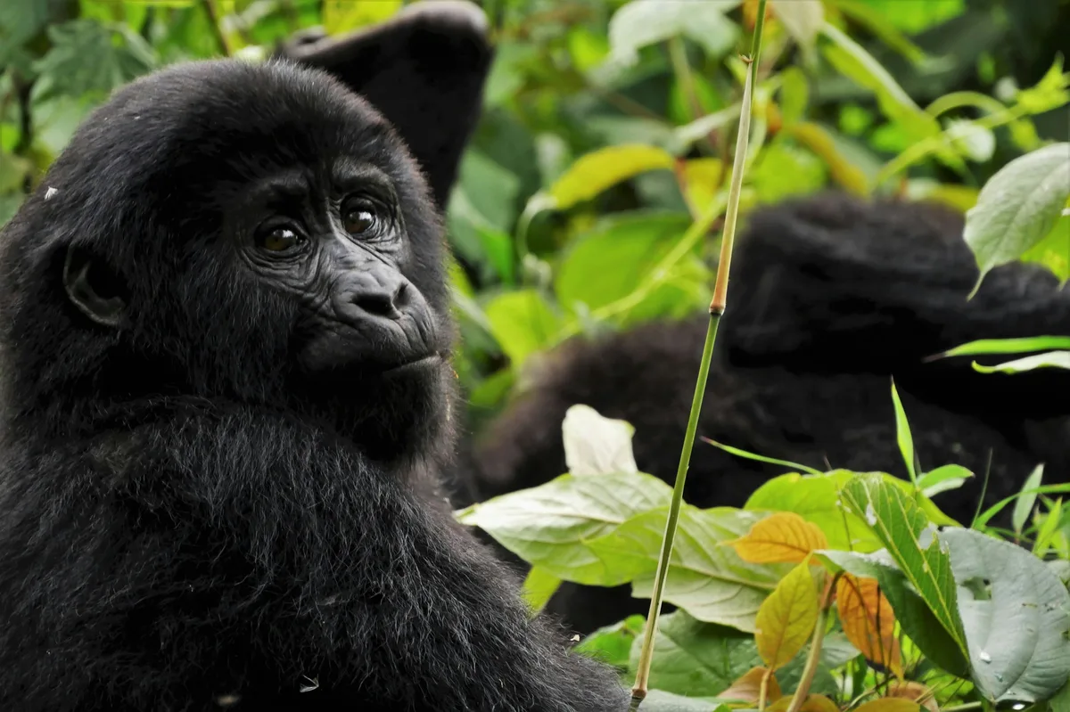
A UNESCO World Heritage rainforest in southwestern Uganda and one of the last strongholds of the mountain gorilla, reached on foot on guided treks through steep, dense terrain.
 Multi-Day Tours
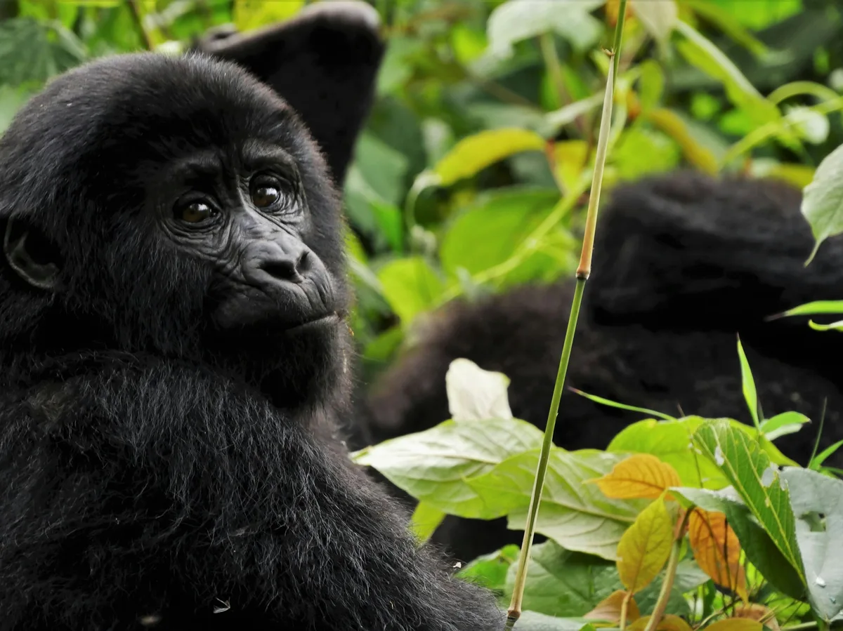
A 5-day private trip from a chimpanzee trek in Kibale Forest to mountain gorilla trekking in Bwindi Impenetrable Forest, with a stop at the equator on the way back to Entebbe.
 Multi-Day Tours
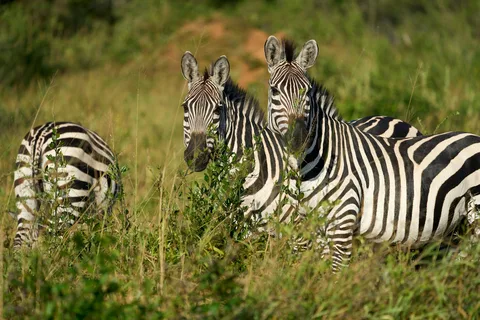
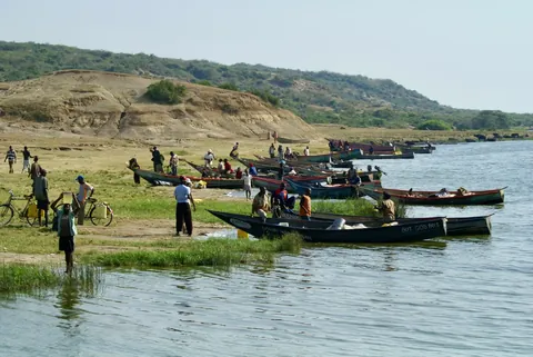
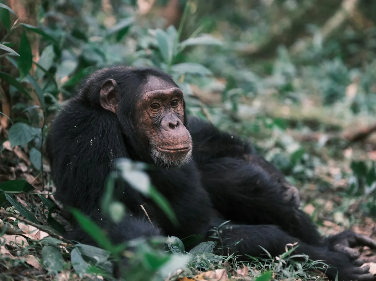
An 8-day private safari from chimpanzee trekking in Kibale Forest through lion tracking and a Kazinga Channel boat safari in Queen Elizabeth National Park to gorilla trekking in Bwindi and the zebras of Lake Mburo.
 Multi-Day Tours
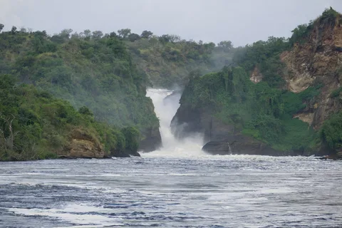
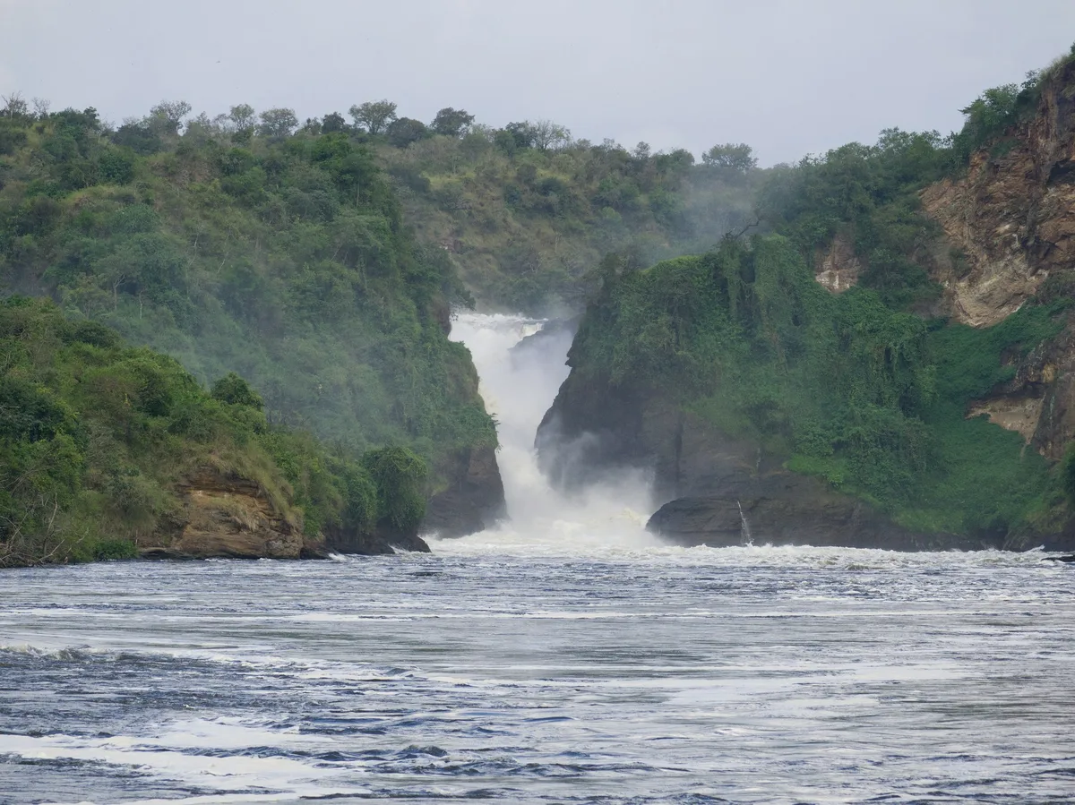
A 14-day private journey from rhino tracking at Ziwa Sanctuary and a Nile boat safari at Murchison Falls, through chimpanzee and gorilla trekking, to Lake Bunyonyi and the zebras of Lake Mburo.
Visitor guide
Bwindi Impenetrable National Park is a mountainous rainforest reserve in southwestern Uganda, on the edge of the Albertine Rift near the border with the Democratic Republic of the Congo. A UNESCO World Heritage Site, it is best known as a stronghold of the mountain gorilla and is reached on foot via guided treks through steep, densely forested terrain.
Wikipedia traces the park's protection through several stages. Two forest blocks were designated Crown Forest Reserves in 1932, combined and renamed the Impenetrable Central Crown Forest in 1942, and made an animal sanctuary in the early 1960s (sources give 1961 or 1964) to protect mountain gorillas. The area was gazetted as Bwindi Impenetrable National Park in 1991 and inscribed as a UNESCO World Heritage Site in 1994. Gorilla tracking for visitors began in 1993. The park covers roughly 321 to 331 square kilometres depending on the source, and is managed by the Uganda Wildlife Authority.
The creation of the park limited local access to the forest, and the Batwa people, who had lived in and around the forest for generations, lost their traditional use of it. Their history is an important part of the story of the forest, and cultural experiences led by Batwa communities are now offered in the area.
The park consists of two forest blocks joined by a corridor, set in the Kigezi Highlands. The landscape is made up of narrow valleys, rivers and steep hills, with elevations from about 1,160 to 2,607 metres and around 60 percent of the park above 2,000 metres. Wikipedia describes the forest as a major water catchment feeding rivers that flow into Lake Edward, Lake Mutanda and Lake Bunyonyi. The climate is tropical and wet, with annual rainfall of roughly 1,400 to 1,900 millimetres and peaks from March to April and September to November. Paths can be muddy and steep at any time of year.
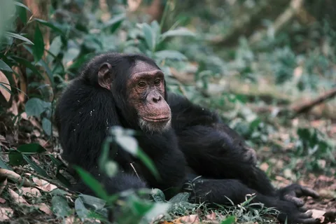
Bwindi is an afromontane forest, a rare type in Africa, with a continuous range from lowland to highland primary forest. Wikipedia suggests it may have served as a refuge for species during the Pleistocene ice ages, which would help explain its high diversity. The forest holds many plant species, with Wikipedia listing more than 1,000 flowering plants including about 200 trees and 104 ferns, while Uganda Wildlife Authority cites about 400 plant species, around 120 mammal species with ten primates, and more than 350 bird species. Chimpanzees, colobus monkeys, L'Hoest's monkeys, forest elephants, giant forest hogs, hornbills and turacos also live here, and the park is notable for its butterflies.
Bwindi is home to roughly half of the world's mountain gorillas according to Wikipedia. A 2018 census recorded 36 social groups totalling 459 gorillas plus 16 solitary individuals. Habituated groups used for tourism are based in four sectors: Buhoma, Ruhija, Rushaga and Nkuringo. Trekking involves walking with a ranger and trackers into the forest to find a gorilla group, and the time needed can vary from a short walk to many hours depending on where the animals have moved. Visitors are guided by park rangers, and a private guided journey helps with logistics around the remote southwestern Uganda region.
See every tour and attraction we cover in Uganda.