TorontoOntario · 36 tours
 Niagara FallsOntario · 25 tours
 New York CityNew York · 30 tours
 Las VegasNevada · 8 tours
 San FranciscoCalifornia · 16 tours
 VancouverBritish Columbia · 17 tours
 DubaiUAE · 54 tours
 Abu DhabiUAE · 5 tours
 Buenos AiresArgentina · 23 tours
 AthensGreece · 31 tours
 AucklandNew Zealand · 38 tours
 CancunMexico · 54 tours
No destinations match “”. Try searching all tours instead — that search understands full questions, not just place names.
Unobstructed views of the Canadian Horseshoe Falls from Queen Victoria Park and the Niagara Parkway.
 Private Tours Popular Pick30% off
A private Niagara Falls day trip for your group only, with a licensed, insured driver-guide and door-to-door pickup anywhere in the GTA.
 Shared Tours30% off
A shared day tour from downtown Toronto to Niagara Falls and Niagara-on-the-Lake: you join other guests on a set itinerary of about 9 hours, with six fixed pickup points, photo stops on the Niagara Parkway and about 2.5 hours of free time at the Falls.
 Shared Tours30% off
A small-group shared day tour from Toronto to Niagara Falls and Niagara-on-the-Lake: hotel pickup in the Greater Toronto Area, a Niagara City Cruises boat ride when it is operating (typically spring to late autumn; on other dates we confirm in your booking confirmation what takes its place), a winery tasting and free time at the Falls, in about 10 hours.
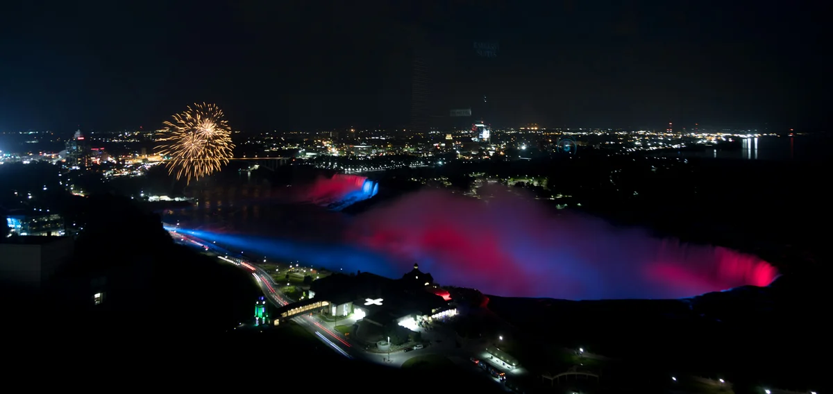 Private Tours Popular Pick30% off
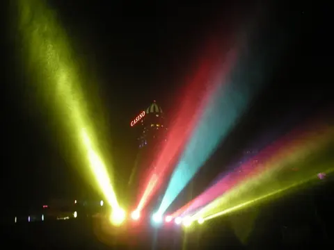
A private evening trip from the GTA to see the Falls lit after dark, with a driver-guide and your choice of start time.
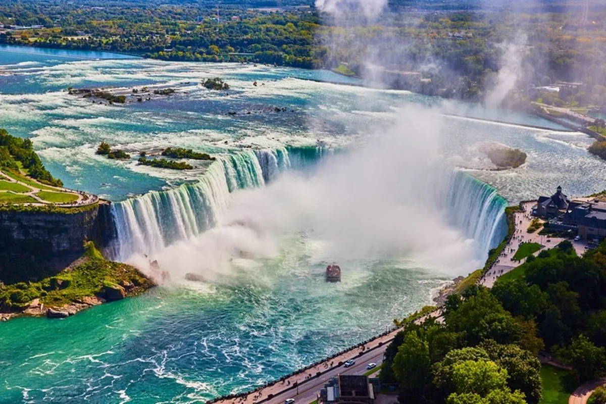 Private Tours30% off
A 9 hour Niagara Falls day in a private vehicle with a driver-guide, with a helicopter flight and a boat ride in season (both run by their operators), lunch at the Sheraton Fallsview Hotel and Niagara Parkway stops.
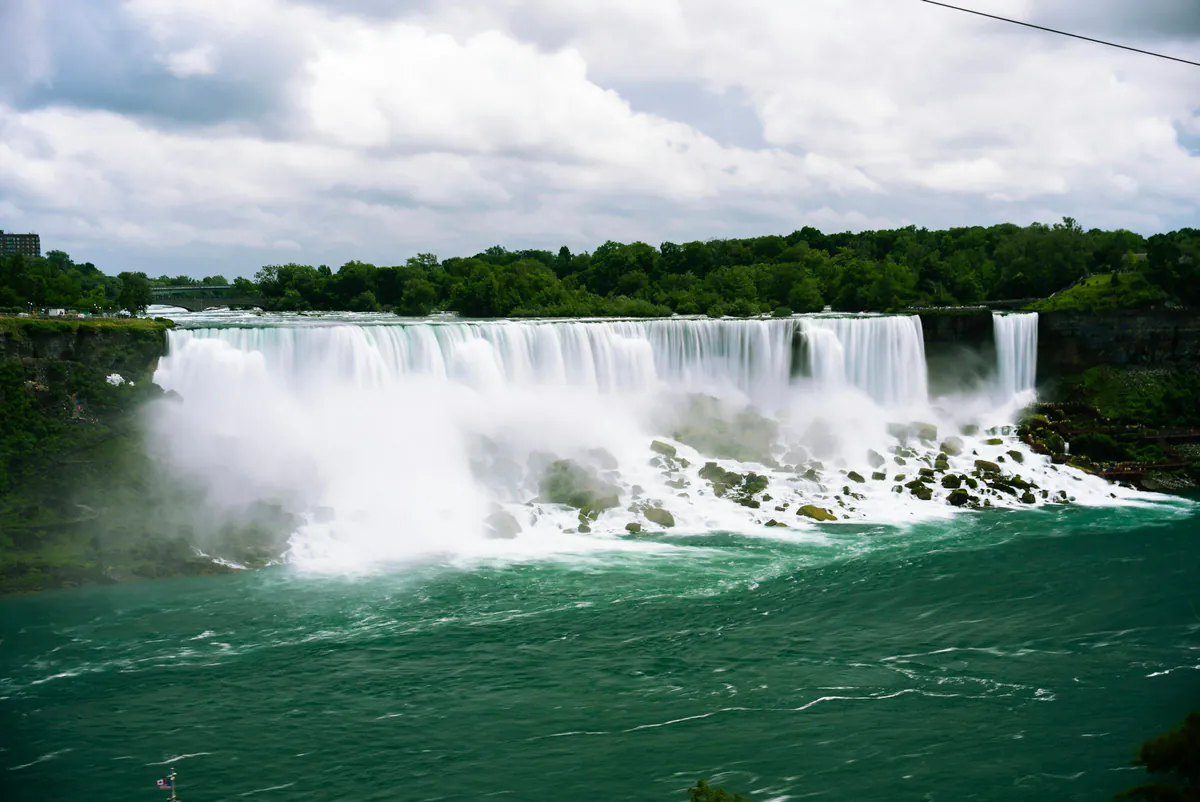 Private Tours30% off
A private 8.5 hour Niagara Falls day for your group only, with 2 hours at the Outlet Collection at Niagara, the Falls views and Parkway stops.
Visitor guide
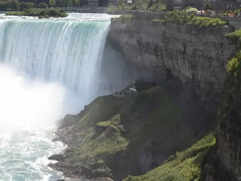
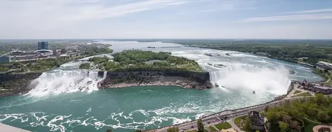
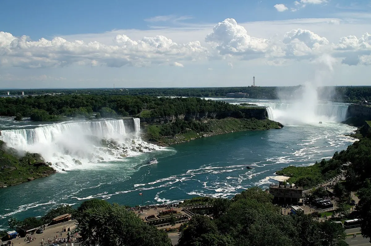
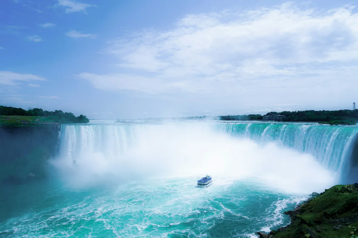
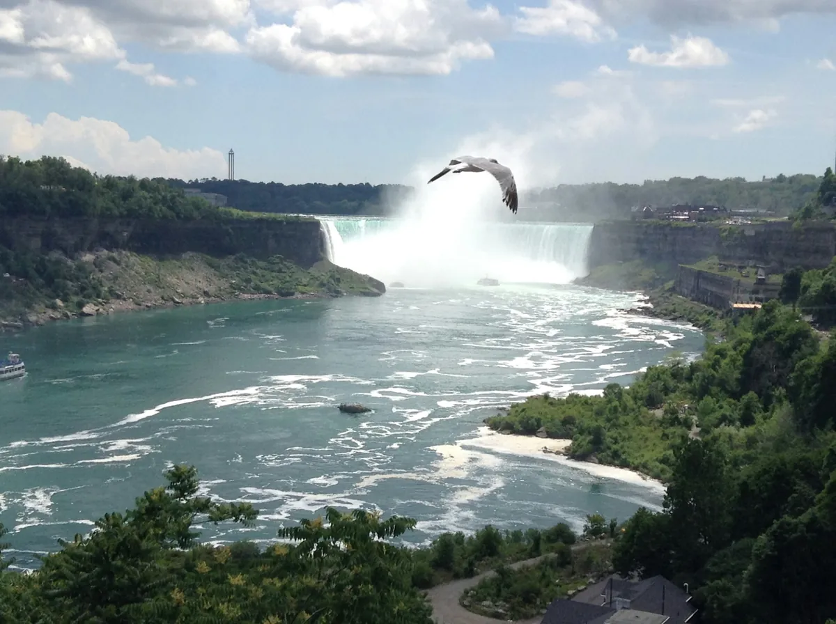
Horseshoe Falls, also called the Canadian Falls, is the largest of the three waterfalls that make up Niagara Falls, and most of its curving crest lies on the Ontario side of the international border. Roughly 90 percent of the Niagara River's water goes over this one cataract, which is why it reads as a thundering green curtain rather than a ribbon. The Canadian shoreline, from Table Rock through Queen Victoria Park, offers the most complete view of it.
The falls are a product of the last Ice Age. As the Wisconsin glaciation retreated roughly 10,000 to 12,000 years ago (sources round this differently), meltwater from the Great Lakes basin began draining over the Niagara Escarpment and cutting a gorge southward. Hard dolostone caps softer shale beneath it; the water undercuts the shale, the cap breaks off, and the crest creeps upstream. Wikipedia reports an average retreat of about 1 to 1.5 metres a year over the last few centuries, falling to about 30 centimetres a year today, largely because water is diverted for hydropower. The same source puts the total retreat from the Queenston-Lewiston escarpment at about 10.9 km.
Niagara Parks gives the crest line as about 670 metres (2,200 feet) across, though other sources quote figures up to roughly 790 to 820 metres depending on how it is measured, and the commonly cited drop is around 57 metres (187 feet) including the churning plunge pool, though the World Waterfall Database lists 51 metres (167 feet) for the falls' height. Published numbers vary with how and where they are measured, so treat them as approximate. Flow is better documented: under the 1950 Niagara River Treaty, at least 2,832 cubic metres per second must pass over the falls during daytime hours from April 1 to October 31 (the daytime window ends at 10 p.m. until mid-September and 8 p.m. afterwards), and at least 1,416 cubic metres per second at night and in the off-season, with the rest diverted to power plants on both sides.
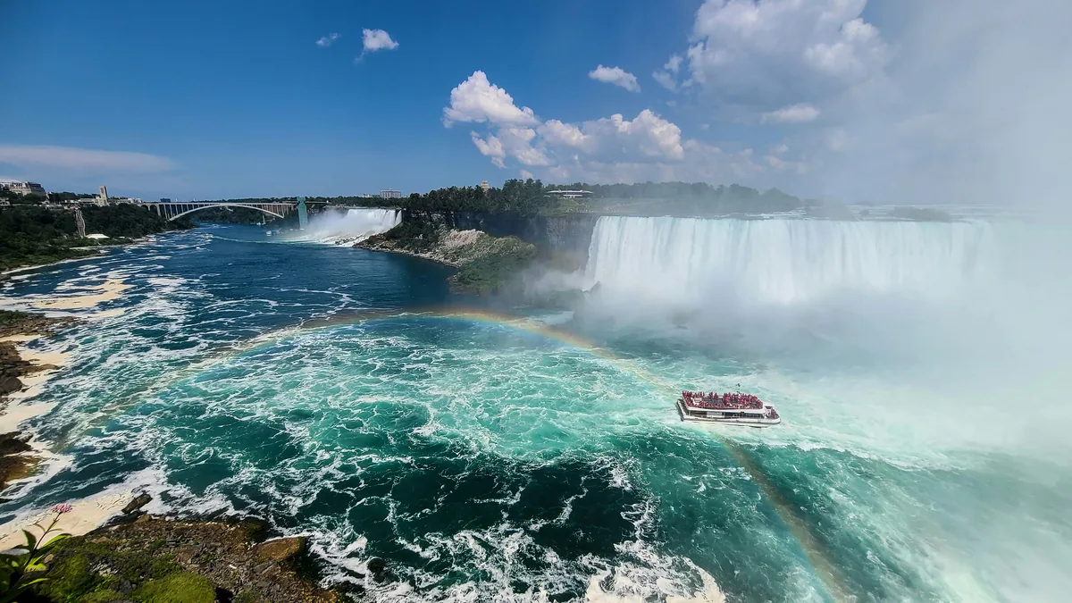
Queen Victoria Park, established by Ontario in 1885 and managed by Niagara Parks, runs along the top of the gorge and gives long, sweeping views of both the American Falls and the Horseshoe. Walk toward the brink and the angle improves until you reach Table Rock, where railings sit at the edge of the crest and the water rushes past below your feet. Because the Horseshoe curves away from the Canadian shore, you see its full arc from the Canadian side, while the American side gives mainly side-on views. Other perspectives include the outdoor decks at Journey Behind the Falls, which look up at the face of the cascade from the gorge, and the boat tours that sail into the mist at the foot of the falls. Higher up, the Skylon Tower and hotel windows along Fallsview Boulevard give a bird's-eye view.
The international boundary runs through the Horseshoe Falls, and Wikipedia notes that official maps from Canada and the United States show a smaller portion of the falls within U.S. territory, with erosion expected to shift the line over time. On the ground that means the Canadian shore has the broadest outlook, while Terrapin Point on Goat Island on the American side sits at the opposite end of the curve. Bridal Veil Falls and the American Falls complete the trio to the east. Reading the falls from a few different angles, rather than one, gives the best sense of how the river bends and where the mass of water is concentrated.
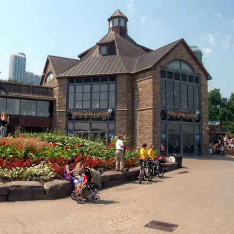
Table Rock Welcome Centre, Journey Behind the Falls, the Floral Showpiece and the walking path along the Niagara Parkway are all within a short walk. On a private tour with Voyzo, your driver can collect you door to door and drop you right at the park, so you can walk the length of the viewpoints without worrying about parking.
See every tour and attraction we cover in Niagara Falls.