TorontoOntario · 36 tours
 Niagara FallsOntario · 25 tours
 New York CityNew York · 30 tours
 Las VegasNevada · 8 tours
 San FranciscoCalifornia · 16 tours
 VancouverBritish Columbia · 17 tours
 DubaiUAE · 54 tours
 Abu DhabiUAE · 5 tours
 Buenos AiresArgentina · 23 tours
 AthensGreece · 31 tours
 AucklandNew Zealand · 38 tours
 CancunMexico · 54 tours
No destinations match “”. Try searching all tours instead — that search understands full questions, not just place names.
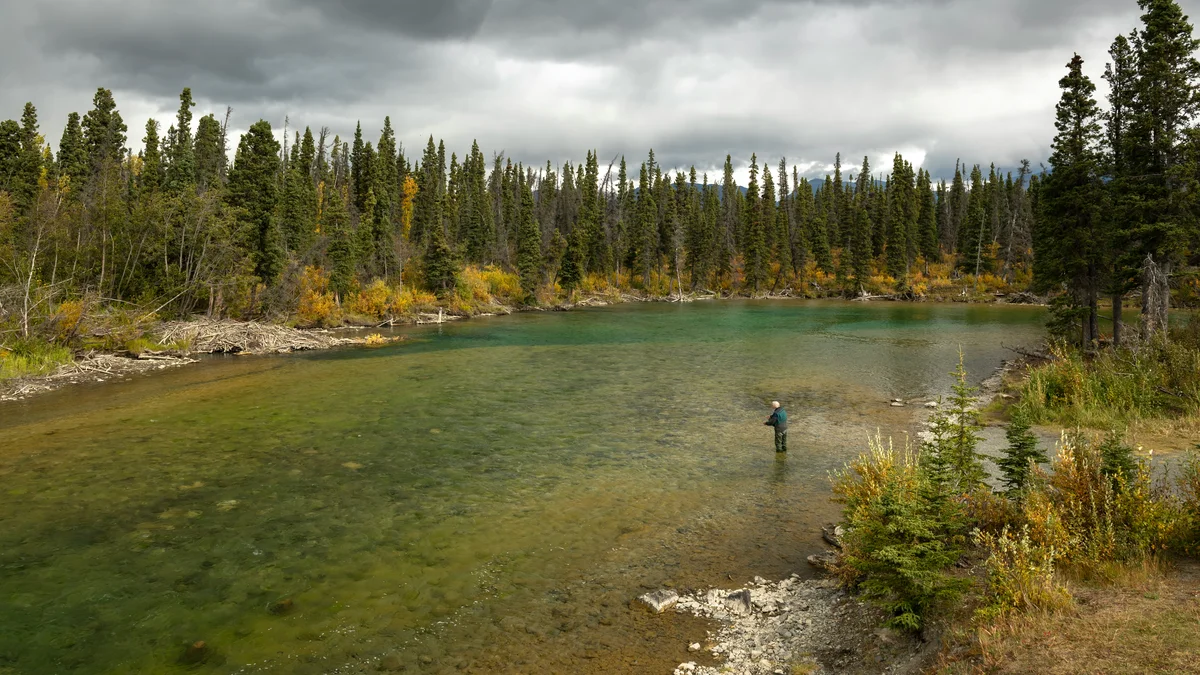
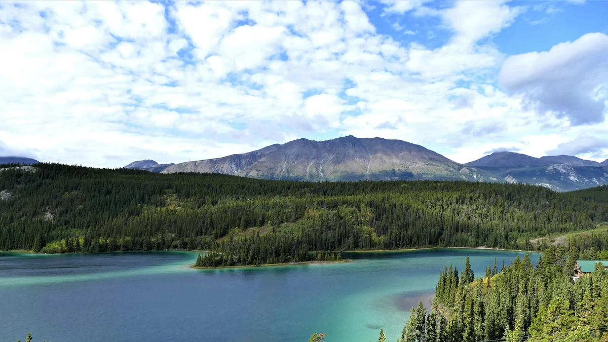
The historic river running through downtown Whitehorse, its blue-green water flowing past Miles Canyon just upstream of the city.
Visitor guide
The Yukon River runs through the middle of Whitehorse, separating the downtown core from Riverdale, and is the waterway that made the city a gold-rush transfer point. It is about 3,190 kilometres long from its upper sources in British Columbia to the Bering Sea, and the broad, green stretch at Whitehorse is only a small, accessible section of that journey.
Sources differ on exactly where the river begins: the U.S. Geological Survey generally accepts the Llewellyn Glacier at the southern end of Atlin Lake in British Columbia, while others point to Lake Lindeman or argue for Teslin Lake and the Teslin River. From there it crosses Yukon and Alaska before reaching the Yukon-Kuskokwim Delta on the Bering Sea. Published drainage-basin figures range from roughly 833,000 to 855,000 square kilometres, with about 323,800 square kilometres in Canada. The name is generally traced to a Gwich'in phrase meaning "white water river," a reference to glacial silt. The upper river between Marsh Lake and Fort Selkirk was once called the Lewes River.
Whitehorse takes its name from the White Horse Rapids, which stampeders said resembled the manes of white horses. The rapids sat at the head of the river's navigable run to the north, which is why Klondike-bound travellers came here to build or portage boats. The spelling changed officially from "White Horse" to "Whitehorse" on 21 March 1957. A hydroelectric dam built in the late 1950s flooded the rapids and created Schwatka Lake. At Whitehorse the river is about 640 metres above sea level.
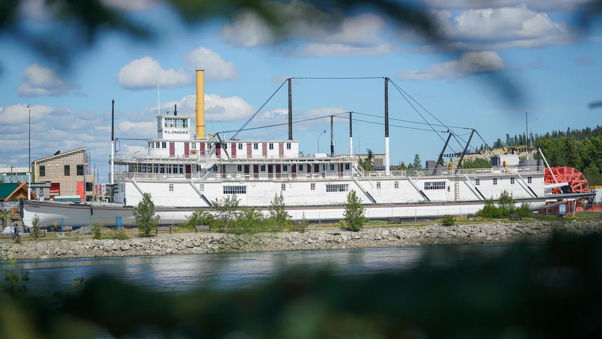
During the Klondike Gold Rush of 1896 to 1903 the Yukon was the main transport route to Dawson City, and paddle-wheel riverboats kept working until the 1950s, when highway links took over their freight. The preserved sternwheeler S.S. Klondike, a National Historic Site beside the river, is the best surviving reminder of that era in Whitehorse. Today no passenger or freight steamers run on this stretch.
The river supports one of the world's longest salmon runs, with Chinook, coho and chum salmon. Chinook numbers have been under serious pressure in recent years, and Alaska banned Chinook and chum fishing in 2021, including subsistence fishing. A U.S.-Canada agreement under the Pacific Salmon Treaty created the Yukon River Panel, which makes recommendations on the shared salmon fishery. The river has long been home to Indigenous peoples, and Whitehorse sits within the traditional territories of the Kwanlin Dün First Nation and the Ta'an Kwäch'än Council.
The waterfront in Whitehorse has trails and parks for walking and paddling, and the city's pedestrian bridges give river views. Upstream of town, the river passes Schwatka Lake, Miles Canyon and the basalt walls at the canyon. Check local operators and the City of Whitehorse for current boat tours, water levels and trail conditions.
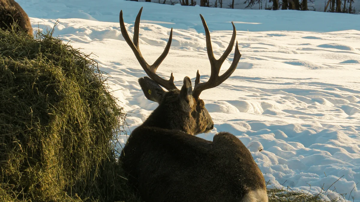
The S.S. Klondike National Historic Site, Miles Canyon and its suspension bridge, and downtown Whitehorse are all close to the river. The Yukon Wildlife Preserve lies a short drive north of the city.
See every tour and attraction we cover in Whitehorse.