TorontoOntario · 36 tours
 Niagara FallsOntario · 25 tours
 New York CityNew York · 30 tours
 Las VegasNevada · 8 tours
 San FranciscoCalifornia · 16 tours
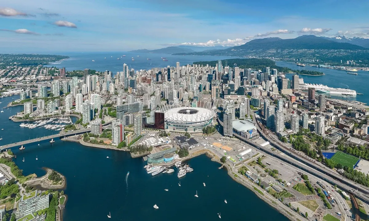
 VancouverBritish Columbia · 17 tours
 DubaiUAE · 54 tours
 Abu DhabiUAE · 5 tours
 Buenos AiresArgentina · 23 tours
 AthensGreece · 31 tours
 AucklandNew Zealand · 38 tours
 CancunMexico · 54 tours
No destinations match “”. Try searching all tours instead — that search understands full questions, not just place names.
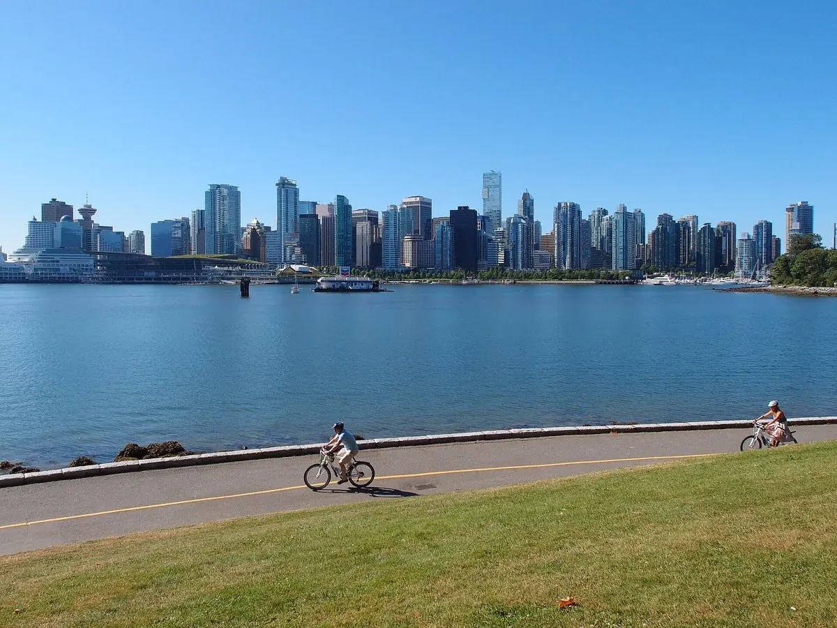
A nearly 1,000-acre forested park with an 8.8 km waterfront seawall path around its edge.
Visitor guide
The Stanley Park Seawall is a paved waterfront path that circles Stanley Park on Vancouver's downtown peninsula. The loop around the park is about 9 kilometres according to the Vancouver Park Board (some sources give 8.8 kilometres), and the wider seawall system extends well beyond it along Coal Harbour, English Bay, False Creek and on toward Kitsilano.
Construction of the Stanley Park section began in 1917 as a protective wall against erosion, with the original idea often credited to park board superintendent W. S. Rawlings. Work progressed in stages: a first stretch of about 1,200 metres that Wikipedia's timeline places in 1914 to 1916 (earlier than the 1917 start date other sources give), a stretch built partly as relief work for unemployed men around 1920, and more sections through the 1930s and 1950s. Master stonemason James "Jimmy" Cunningham worked on the wall from 1931 until his retirement and continued to monitor it; he died on 29 September 1963 aged 85, long before completion. A commemorative plaque near Siwash Rock marks where his ashes were scattered. The final section was begun in 1968, with a last block placed in September 1971, and the park loop was declared complete in 1980. Sources differ slightly on which milestone counts as the finish.
The Vancouver Park Board's seawall page describes a 28-kilometre Seaside Greenway running from the Vancouver Convention Centre to Spanish Banks Park, including the Stanley Park section, while Wikipedia says the broader route from CRAB Park through Stanley Park, False Creek and out to Spanish Banks runs to about 30 kilometres; treat any single figure with care because it depends on where you start and stop. Since 1984 cycling has been one-way, counterclockwise, around the park, with separate space for people on foot.
Starting from Coal Harbour, the route passes the Brockton Point area with its totem poles and the Nine O'Clock Gun, an 1816 naval cannon first fired in 1898 and now triggered electronically. Siwash Rock is a sea stack that Squamish tradition knows as Slhx̱i7lsh; in oral history a fisherman was turned to stone. Further on come Prospect Point, with views of the Lions Gate Bridge, then Third Beach, Second Beach and English Bay. The park itself is about 405 hectares (1,001 acres) and officially opened on 27 September 1888, named for Lord Stanley.
Archaeological evidence shows human presence on the peninsula for more than 3,000 years. The Squamish Nation had a large village, X̱wáýx̱way (Whoi Whoi), near Lumberman's Arch, and another settlement, Chaythoos, lay farther west. A 2010 proposal by a Squamish chief suggested renaming the park Xwayxway; the proposal is not a decision. Storms have also left their mark: the windstorm of 15 December 2006 downed roughly 10,000 trees, according to Wikipedia, and the seawall and trails have been repaired and altered since.
Voyzo's private drivers can include Stanley Park in a Vancouver itinerary, collecting you door to door and dropping you at Brockton Point or Prospect Point so you can walk a stretch of the seawall without committing to the full loop. Your driver can meet you at the far end.
See every tour and attraction we cover in Vancouver.