TorontoOntario · 36 tours
 Niagara FallsOntario · 25 tours
 New York CityNew York · 30 tours
 Las VegasNevada · 8 tours
 San FranciscoCalifornia · 16 tours
 VancouverBritish Columbia · 17 tours
 DubaiUAE · 54 tours
 Abu DhabiUAE · 5 tours
 Buenos AiresArgentina · 23 tours
 AthensGreece · 31 tours
 AucklandNew Zealand · 38 tours
 CancunMexico · 54 tours
No destinations match “”. Try searching all tours instead — that search understands full questions, not just place names.
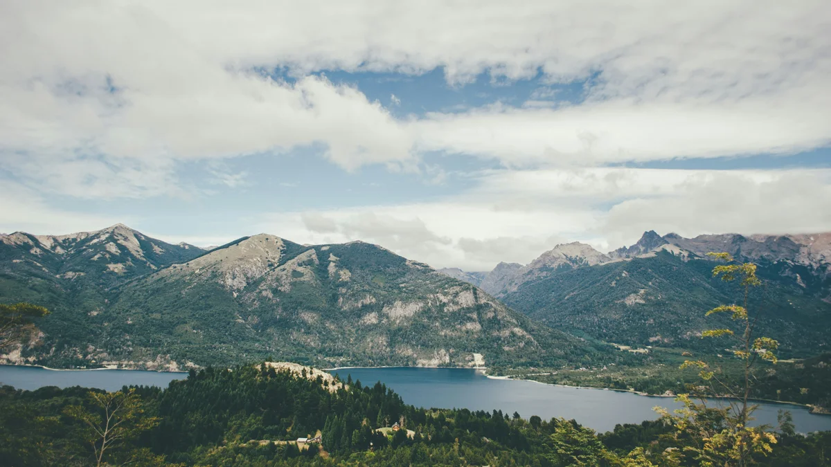
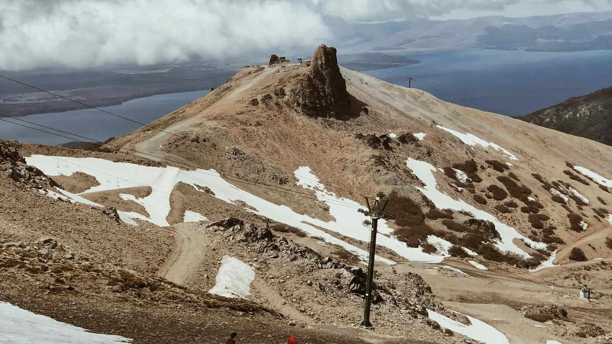
A summit reached by chairlift or a short hike, with a 360-degree view over Nahuel Huapi Lake, the Llao Llao Peninsula, and the surrounding Andes that National Geographic once ranked among the best views in the world — the signature stop on the Circuito Chico loop.
 Private Tours
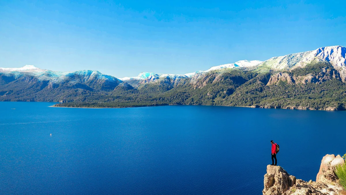
A private drive along the classic Circuito Chico loop, with real stops at Cerro Campanario (optional ascent for the panoramic summit view), the Llao Llao Peninsula and its landmark hotel, San Eduardo Chapel, Puerto Pañuelo, and the Panoramic Point over López Bay.
 Private Tours
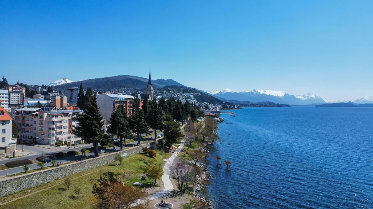
A comprehensive private full-day tour of Bariloche, crossing the city's neighborhoods to Lake Gutiérrez's east coast, the Grotto de la Virgen de las Nieves, the base of Cerro Catedral, Colonia Suiza, and the complete Circuito Chico loop, including Panoramic Point, López Bay, the Llao Llao Hotel, San Eduardo Chapel, Puerto Pañuelo, and Cerro Campanario.
Visitor guide
Cerro Campanario is a hill about 1,050 metres above sea level in the Llao Llao area of San Carlos de Bariloche, Argentina, in Patagonia. It is a viewpoint known for its sweeping outlook over Lake Nahuel Huapi, nearby lakes and the surrounding Andean peaks, reached by a short chairlift or a trail.
A 2016 article in the regional newspaper Diario Rio Negro gives the summit height as 1,049 metres. From the top, visitors can see the blue waters of Lake Nahuel Huapi, the Moreno Este and Moreno Oeste lakes, the El Trebol lagoon, the San Pedro and Llao Llao peninsulas, Victoria Island, and mountains including Otto, Lopez, Goye, Catedral and Capilla. The summit cafe has west-facing windows looking toward the Andes. National Geographic is cited in local sources as naming the viewpoint among the most impressive panoramic views in the world.
The hill lies within the landscape of Nahuel Huapi National Park, which the park's own brochure gives as 717,261 hectares, about 7,170 square kilometres, across Neuquen and Rio Negro provinces. The park began in 1922 as Parque Nacional del Sur and took its current name in 1934, and Francisco Moreno donated land in 1903 as the basis for a national park. Lake Nahuel Huapi has a maximum depth of about 425 metres and an area of about 544 square kilometres, and its name comes from Mapuche words meaning jaguar and island, according to Wikipedia.
According to the 2016 article, Monsignor De Andrea held a mass at the summit on 2 February 1930 and erected a cross. The idea for a chairlift came during the construction of Refugio Lynch on Cerro Catedral, when builders saw the summit's tourism potential. The Jerman, Ovrum and Flere families partnered to develop the site, and the article says their descendants still operate it. The chairlift was built starting in 1968 and the cafe opened in 1972. Local news reports say the idea was first raised in 1966 and that an agreement with the municipality was signed in 1968, and that the concession has been renewed. Early years were slow because few tourists visited Bariloche, but it became a standard stop on the Circuito Chico route.
Wooden signs along the walking trail identify the plants and trees. The article lists species including pehuen, maiten, radal, chaura, panil, reina mora and calafate, with cypress trees prominent along the route and a few pines nearby. The summit cafe retains original tables and floors, a cypress bar and carved columns, and one wall is covered with banknotes from many countries.
The chairlift base is at kilometre 17.5 of Avenida Exequiel Bustillo, which runs west from the city toward Llao Llao. The chairlift ride takes roughly seven minutes, and the winding trail takes at least half an hour at a steady pace, according to the article. Weather and wind can affect views and lift operation, and mornings and clear days offer the clearest outlook. A private tour along the Circuito Chico can combine the viewpoint with Llao Llao and the nearby lakes.
See every tour and attraction we cover in Bariloche.