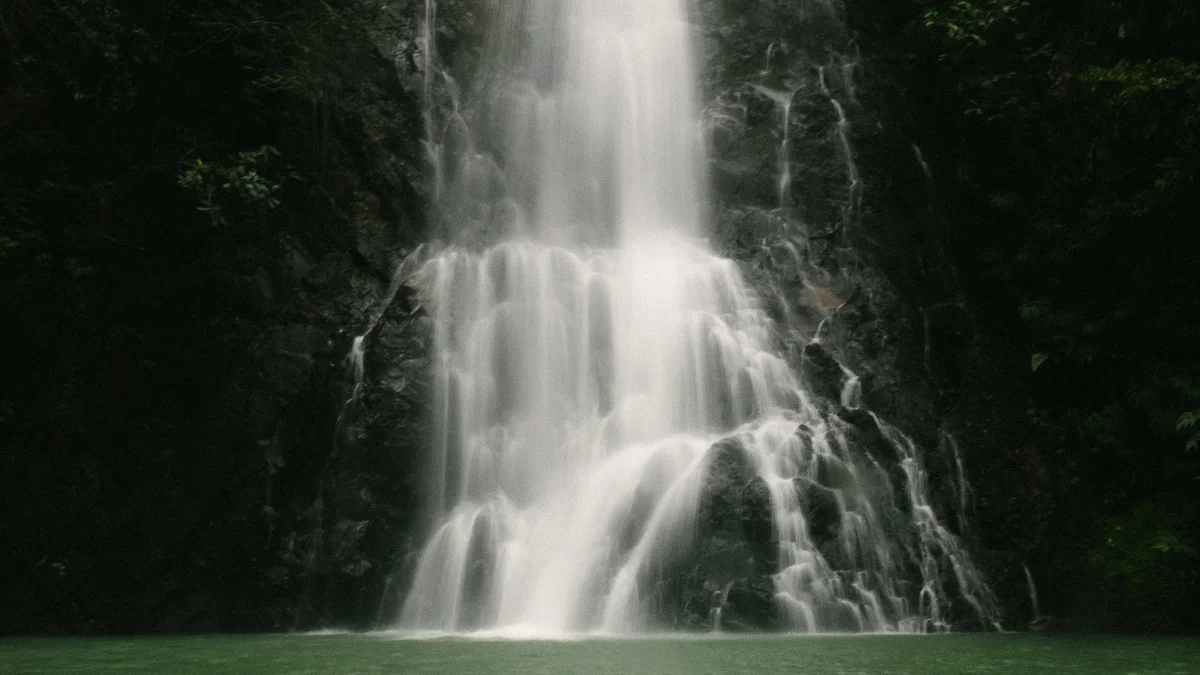
TorontoOntario · 36 tours
 Niagara FallsOntario · 25 tours
 New York CityNew York · 30 tours
 Las VegasNevada · 8 tours
 San FranciscoCalifornia · 16 tours
 VancouverBritish Columbia · 17 tours
 DubaiUAE · 54 tours
 Abu DhabiUAE · 5 tours
 Buenos AiresArgentina · 23 tours
 AthensGreece · 31 tours
 AucklandNew Zealand · 38 tours
 CancunMexico · 54 tours
No destinations match “”. Try searching all tours instead — that search understands full questions, not just place names.
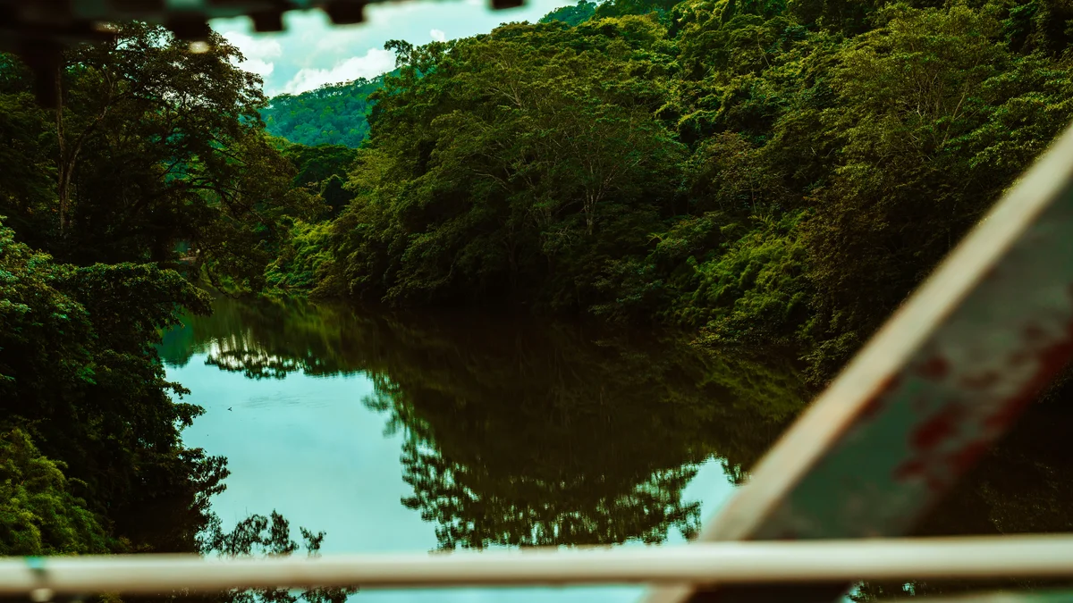
A compact Maya palace complex on a hilltop within San Ignacio itself, close enough to walk to from many downtown hotels. Cahal Pech ('Place of Ticks' in Yucatec Maya, a modern nickname rather than an ancient one) was likely home to an elite ruling family and shows signs of occupation stretching back over 3,000 years, making it one of the earliest-settled sites yet found in the Maya lowlands.
Visitor guide
Cahal Pech is a Maya archaeological site on a hill above the Macal River in the Cayo District of Belize, at the edge of the town of San Ignacio. Wikipedia describes it as a palatial hilltop residence of an elite Maya family, with evidence of habitation going back to about 1200 BCE.
The site has 34 structures arranged around a central acropolis, with the tallest temple about 25 metres high, though one school-program report gives 24 metres, so the figure varies slightly. It looks out over the confluence of the Macal and Mopan rivers. Most of the major construction dates to the Classic period, and Wikipedia says the site was abandoned in the 9th century CE for reasons that are unknown. The pattern of courtyards, temples and ball courts suggests the seat of a ruling family rather than a large city.
Archaeologists report continuous occupation from the Early Middle Formative period, around 1200 BCE, which makes Cahal Pech among the oldest recognisably Maya sites in western Belize. It has the earliest pottery found in western Belize, an early ceramic complex called Cunil, dated in one figurine study to about 1200 to 900 BCE and followed by the Kanluk phase, 900 to 350 BCE. A comparable early complex at the nearby site of Blackman Eddy is called Kanocha. Jaime Awe co-authored a 1990 paper on this early Middle Formative occupation.
The name Cahal Pech means Place of the Ticks in Yucatec Maya, but this is a modern name rather than the ancient one: it came from the area's use as pasture when the first archaeological studies were made in the 1950s by Linton Satterthwaite of the University of Pennsylvania Museum.
Visitors usually reach Plaza B first, the largest plaza on the site. Structures B1, B2 and B3 close its west side, and Joyce Kelly has proposed that this group formed an E-Group, an arrangement that marked the solstices and equinoxes, comparable to the one at Uaxactun in Guatemala. A separate account describes a Preclassic pyramid built west of the plaza around 750 BCE that was later demolished as the plaza was extended. The eastern side later became an Eastern Triadic Assemblage and, according to that account, was used from about 150 BCE as an exclusive burial place for the royal family. A Late Classic royal burial of about AD 600 to 800 found in Structure B1 held jade, carved shell and bone, ceramic vessels and a jade and shell mosaic belt mask. Descriptions of the visible remains also mention two ball courts, five plain stelae, an altar and a steam bath, though these counts come from site descriptions rather than the main reference article.
Primary excavation began in 1988, and restoration was completed in 2000 under Jaime Awe, then director of the Belize Institute of Archaeology. Today it is an archaeological reserve with a small museum displaying artifacts from continuing excavations. The central area is compact, occupying roughly one hectare, which makes the layout easy to read on foot.
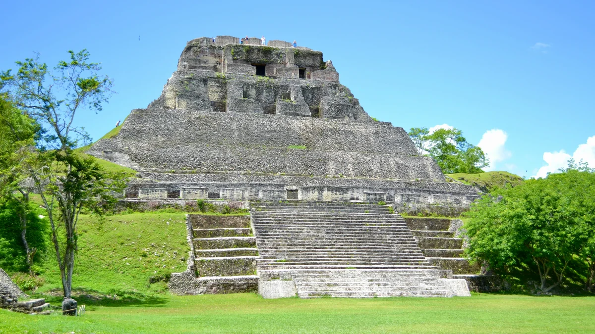
San Ignacio is the cultural and economic hub of Cayo District, on the Macal River about 101 kilometres west of Belize City. Wikipedia lists nearby Maya sites including Xunantunich, Caracol, El Pilar, Baking Pot and Lower Dover, along with caves such as Barton Creek Cave. A private guide can place Cahal Pech within this wider Maya landscape, and a private vehicle and driver make combining several stops straightforward.
See every tour and attraction we cover in San Ignacio.