TorontoOntario · 36 tours
 Niagara FallsOntario · 25 tours
 New York CityNew York · 30 tours
 Las VegasNevada · 8 tours
 San FranciscoCalifornia · 16 tours
 VancouverBritish Columbia · 17 tours
 DubaiUAE · 54 tours
 Abu DhabiUAE · 5 tours
 Buenos AiresArgentina · 23 tours
 AthensGreece · 31 tours
 AucklandNew Zealand · 38 tours
 CancunMexico · 54 tours
No destinations match “”. Try searching all tours instead — that search understands full questions, not just place names.
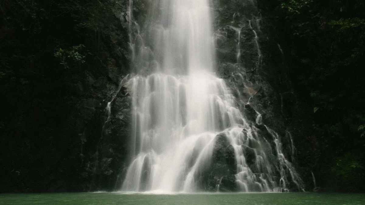
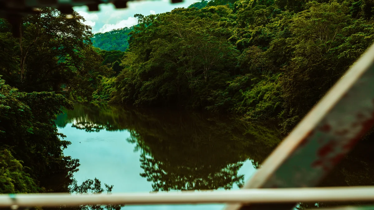
A pine-forested plateau in the Maya Mountains south of San Ignacio, geologically distinct from the broadleaf jungle that covers most of Belize. The reserve holds waterfalls including Big Rock Falls and Rio On Pools' natural granite swimming holes, along with Rio Frio Cave, a wide, walk-in limestone cave near the reserve's edge.
Visitor guide
Mountain Pine Ridge Forest Reserve is a protected pine-covered plateau in the Cayo District of western Belize, in the Maya Mountains south of San Ignacio. It was designated in 1944 to protect and manage native pine forest, and today it is known for its granite and limestone landscapes, rivers, waterfalls and caves.
Most of Belize is covered in broadleaf jungle, which makes the reserve visually distinctive. According to Wikipedia, around 58 percent of its land cover is pine forest, mainly Caribbean pine, with broadleaf forest making up roughly 37 percent and smaller areas of grassland and wetland. The terrain sits at an average of roughly 400 to 700 metres above sea level, with Baldy Beacon, at about 1,017 metres, given as the highest point and the Macal River, at about 120 metres, the lowest.
Geology explains the unusual vegetation. Much of the reserve sits on a granite massif with sandy, relatively poor soils, which suit pines better than the rich broadleaf species of the lowlands. In the west, remnants of a Jurassic limestone plateau produce sinkholes and caves. The climate is subtropical, with a rainy season that runs roughly from July to February and a hot, humid dry season from February to May.
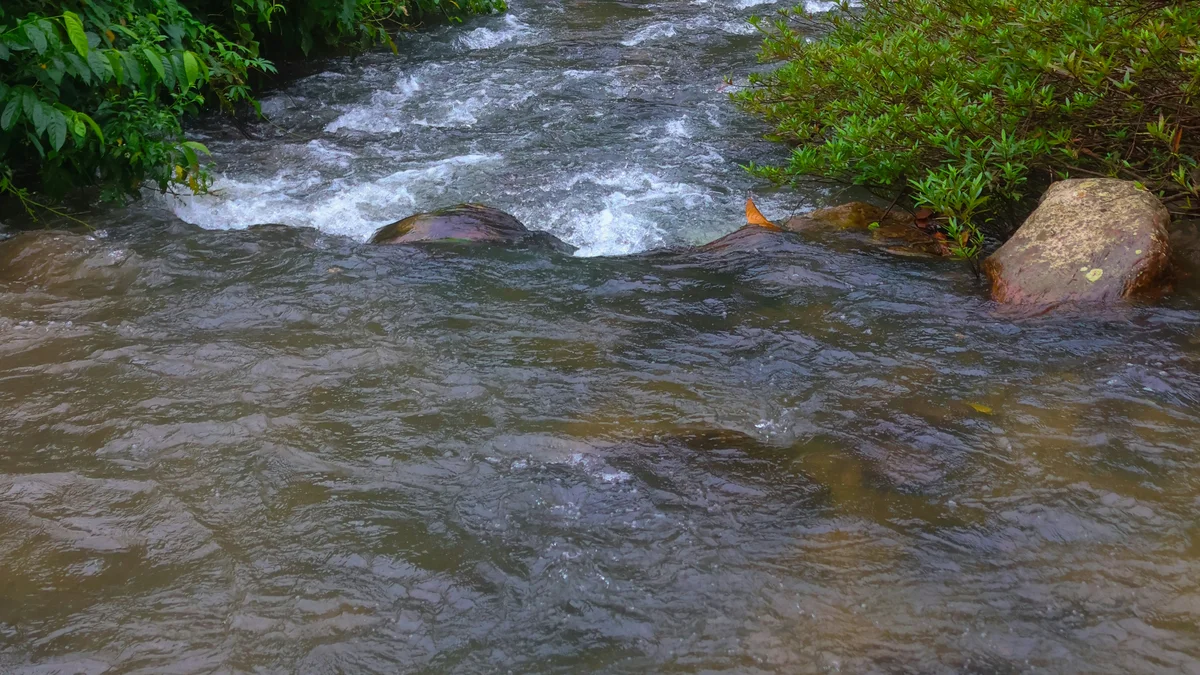
The Macal River forms the western and southern boundaries of the reserve, and tributaries including the Rio Frio, Rio On, Privassion Creek and Pinol Creek drain the plateau. Small streams in the northeast feed Barton Creek. Waterfalls on these streams include the small falls and granite pools of the Rio On, the larger drops at Big Rock Falls on Privassion Creek, and Hidden Valley Falls.
Rio Frio Cave, where the Rio Frio flows through a limestone chamber, is described by Wikipedia as having the largest entrance of any cave in Belize. Barton Creek Cave, close to the reserve, is a river cave that may extend several kilometres and has been explored by boat; archaeologists have found Maya artifacts on ledges above the water, which suggest ritual use of the cave in the past.
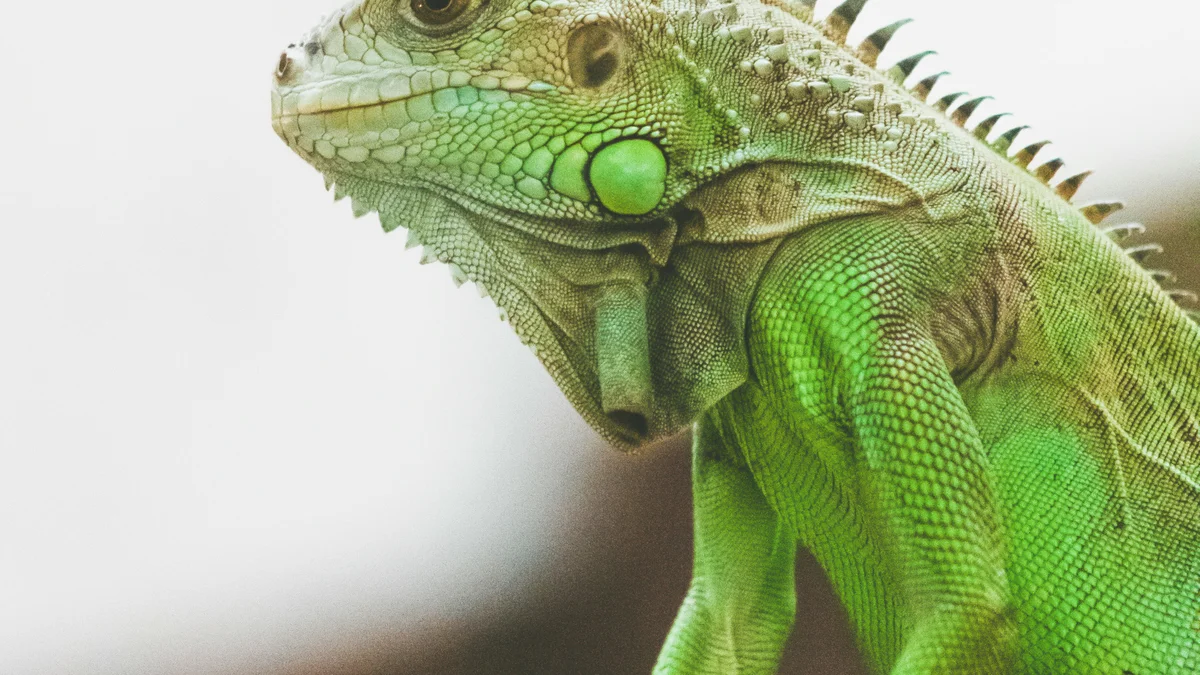
The reserve is sparsely populated, and its mix of pine, broadleaf forest and grassland supports a wide range of wildlife. Wikipedia lists cougars, jaguars, ocelots, white-nosed coatis and Baird's tapirs, the national animal of Belize, among the large mammals. Birdlife includes keel-billed toucans, king vultures, ocellated turkeys, acorn woodpeckers and red-lored parrots, and orange-breasted falcons are noted as more common here than elsewhere in the country.
The forest has also faced setbacks. A major fire in 1949 destroyed much of the pine stand, and few trees today predate it. More recently the southern pine beetle has damaged the pines, with Wikipedia reporting signs of attack in a large share of trees. Hunting in the reserve was banned in 1978 in recognition of its conservation role.
The reserve lies next to one of the major Maya sites of the region, Caracol, which Wikipedia says has roots going back to as early as 1200 BC. The 1944 designation was made to control forestry activity, with fire control beginning in 1945, and the reserve was later reclassified as a production forest in 1952, bringing roads and a landing strip. Its boundaries are described as poorly defined and the area has been reduced since 1944, with much of the land leased.
The administrative headquarters of the Forestry Department's Western Division is at the Douglas D'Silva Forest Station, and the former logging settlement of San Luis is now abandoned.
Because the reserve is large, rural and spread over uneven terrain with limited services, a private guided visit with a driver who knows the roads can make it easier to combine several of its waterfalls, pools and caves in one outing. Conditions vary with the season, since rain affects river levels and track conditions, and the dry season can be very hot.
See every tour and attraction we cover in San Ignacio.