TorontoOntario · 36 tours
 Niagara FallsOntario · 25 tours
 New York CityNew York · 30 tours
 Las VegasNevada · 8 tours
 San FranciscoCalifornia · 16 tours
 VancouverBritish Columbia · 17 tours
 DubaiUAE · 54 tours
 Abu DhabiUAE · 5 tours
 Buenos AiresArgentina · 23 tours
 AthensGreece · 31 tours
 AucklandNew Zealand · 38 tours
 CancunMexico · 54 tours
No destinations match “”. Try searching all tours instead — that search understands full questions, not just place names.
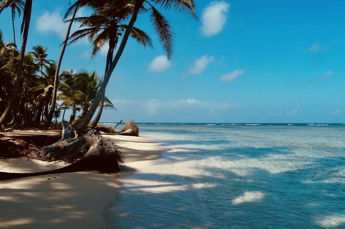
A Caribbean archipelago of small, palm-covered islands governed by the Guna people, reached by boat from Panama's northern coast.
 Multi-Day Tours
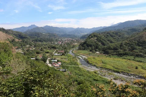
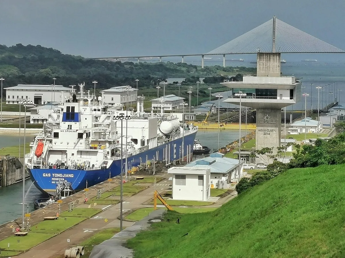
A 7-day private route from the San Blas mountain range's cloud forest and the Guna Yala islands, to the Panama Canal's Miraflores Locks, Panama City's colonial old town, and the volcanic crater town of El Valle de Antón.
 Multi-Day Tours
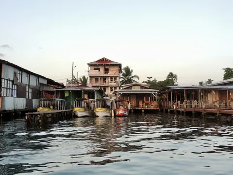
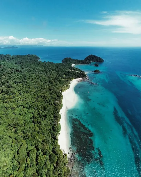
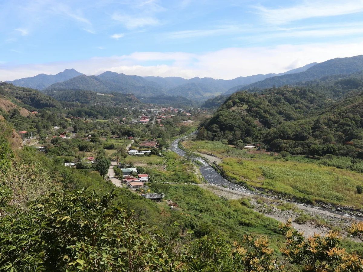
A 16-day route from the Caribbean coast and San Blas islands through Panama City and the Panama Canal, into the volcanic highlands of El Valle de Antón, the Coiba Archipelago, Boquete's cloud forest, and Bocas del Toro's islands.
Visitor guide
The San Blas Islands are a Caribbean archipelago off Panama's northern coast, forming part of the Guna Yala comarca, an Indigenous territory governed by the Guna people. Low coral islands, palms and clear water give the area its reputation as one of Panama's most distinctive island destinations.
According to Wikipedia, the archipelago has about 365 islands and cays, 49 of them inhabited, though the article also cites a figure of 378 islands elsewhere, so counts vary. It lies east of the Panama Canal and is valued for sailing and ecotourism, partly because it sits outside the main hurricane belt. Places named in sources include Carti Sugtupu, a densely populated island village, and the clear-water areas of Cayos Limones and Cayos Holandeses.
The Guna, also spelled Kuna, live in the comarca of Guna Yala. They are said to have settled the islands after being pushed from the mainland during the Spanish invasion, and many families rotate between mainland villages and island homes. Guna is spoken at home and taught in schools alongside Spanish. Many Guna are fishermen and hunters. Wikipedia notes that their spiritual traditions include worship of a god named Erragon.
The comarca's legal story is tied to a 1925 uprising. Sources describe a Guna rebellion in February 1925, leading to a short-lived Republic of Tule, followed by a peace settlement mediated by the United States that respected Guna customs and forms of organisation. Panama's Law 99 of 1998 states that the Comarca of San Blas was created by Law 2 of 1938 and declared an Indigenous Reserve by Law 20 of 1957, and Law 16 of 19 February 1953 organised what was then the Comarca of San Blas, now Guna Yala. Guna sources argue that their self-governance long predates any state law, and sources disagree on exact dates, so treat them as approximate.
Before European contact, Wikipedia says, Guna wore little clothing and decorated their bodies. After missionaries encouraged them to dress, they adapted those designs into molas, the layered, stitched textile panels that are now closely associated with Guna women's dress. The chief is said to live on Acuadup, a name translated as rock island.
From 1679 to 1681 William Dampier visited the islands, which he called the Samballoes, during a voyage with privateers, and described them as a convenient hideout for pirates. The area has a tropical monsoon climate, with hot temperatures year-round, a wet season from May to January and a shorter dry season.
Wikipedia notes that sea-level rise could make parts of the archipelago uninhabitable later this century, and Carti Sugtupu is relocating residents because of frequent flooding. It is described as the first community in Panama displaced by climate change.
Access is by boat from Panama's northern coast, and visits are governed by Guna rules, so tours are arranged with the community's permission. A private guided journey with a driver can handle the overland leg and connect with local boat operators.
See every tour and attraction we cover in Panama.