TorontoOntario · 36 tours
 Niagara FallsOntario · 25 tours
 New York CityNew York · 30 tours
 Las VegasNevada · 8 tours
 San FranciscoCalifornia · 16 tours
 VancouverBritish Columbia · 17 tours
 DubaiUAE · 54 tours
 Abu DhabiUAE · 5 tours
 Buenos AiresArgentina · 23 tours
 AthensGreece · 31 tours
 AucklandNew Zealand · 38 tours
 CancunMexico · 54 tours
No destinations match “”. Try searching all tours instead — that search understands full questions, not just place names.
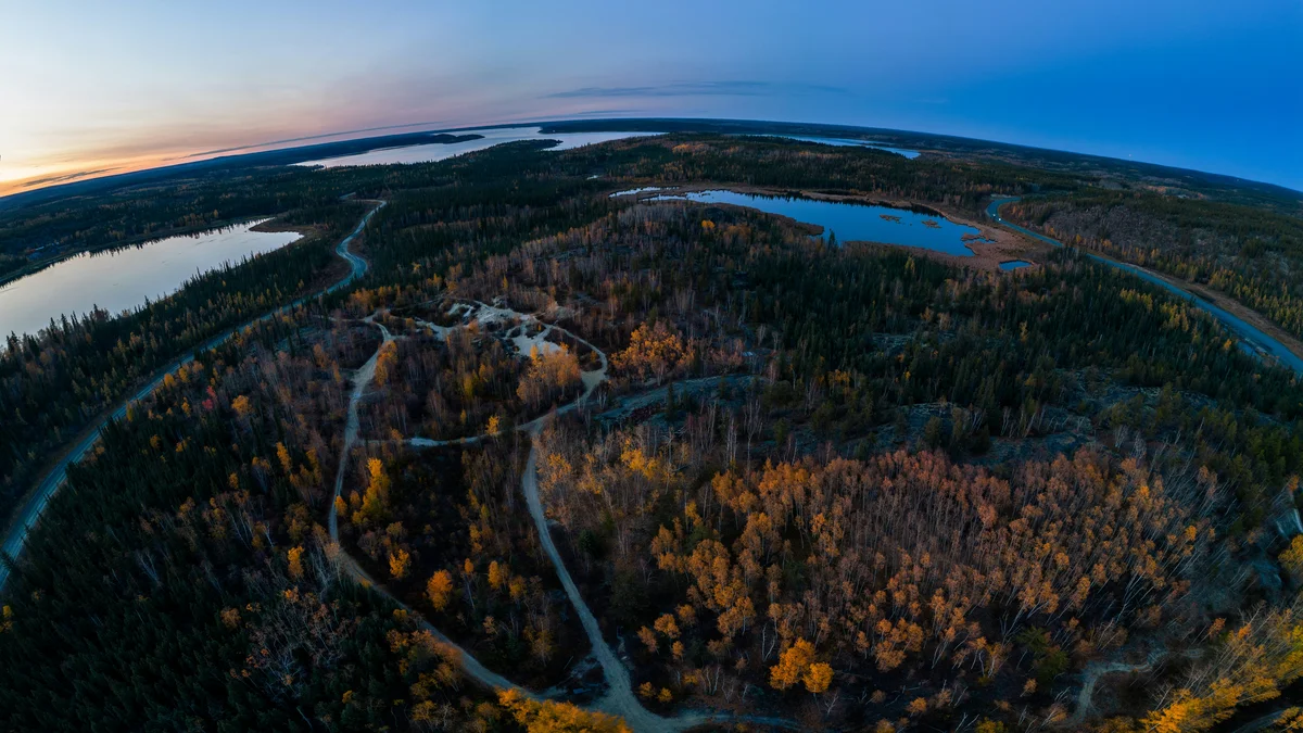
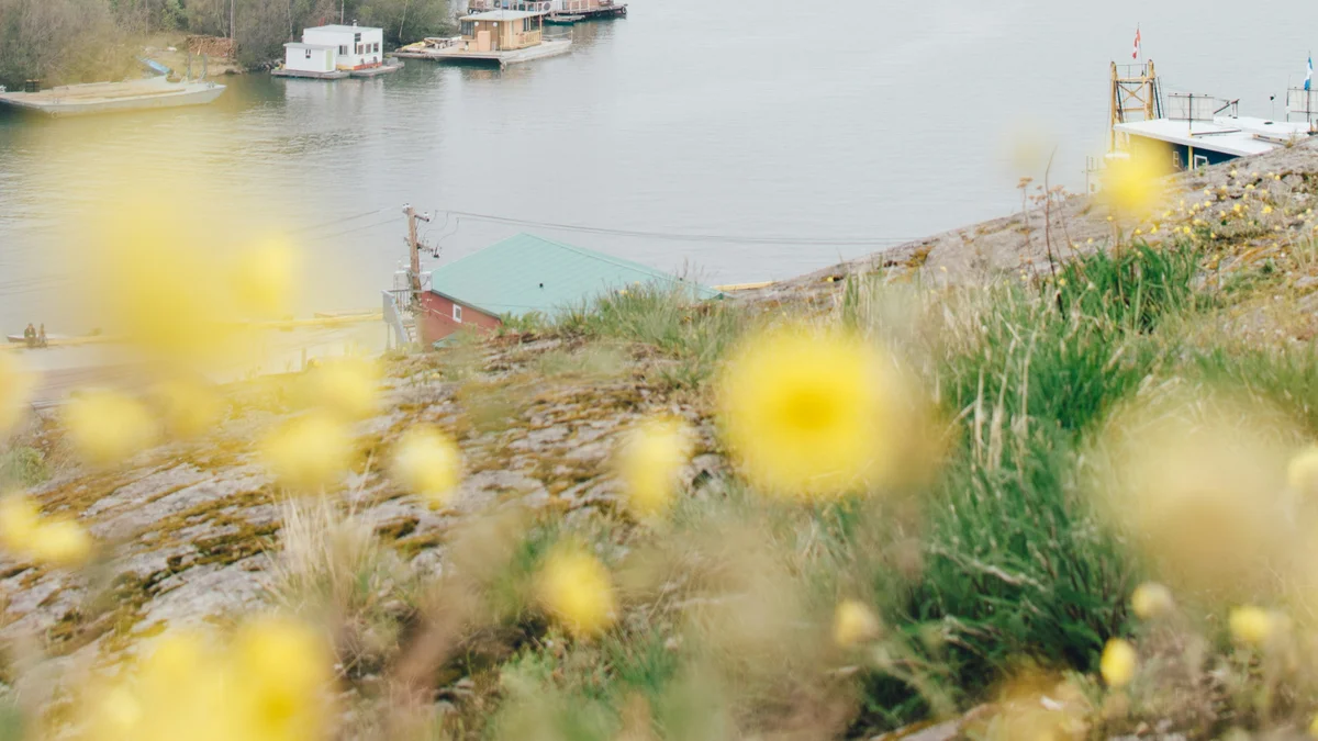
The deepest lake in North America and, according to the Government of the Northwest Territories, the 10th-largest lake in the world, bordering the city and frozen solid for much of the winter.
 Private Tours
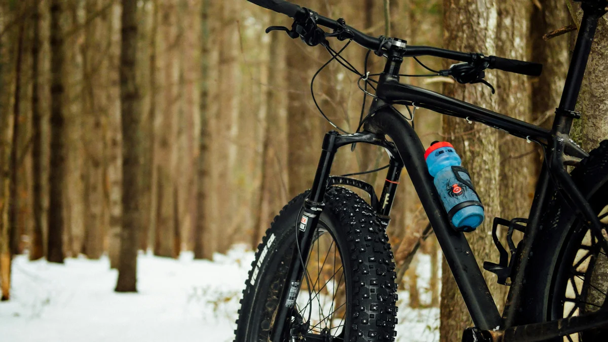
A private, guided fat-bike tour along the shores of Great Slave Lake and through Old Town Yellowknife's historic streets, with full winter gear provided and stops at Ragged Ass Road, Bullock's Bistro, and the frozen Dettah Ice Road's houseboats.
 Private Tours
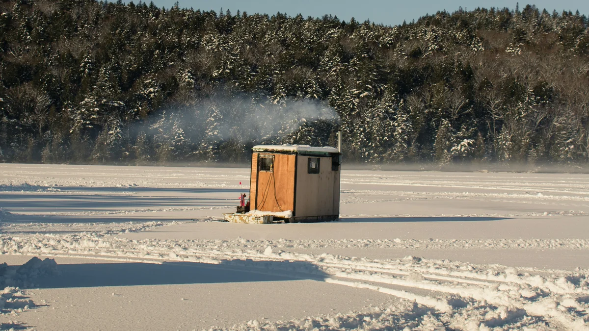
A private nighttime outing onto Great Slave Lake — ice fishing for burbot, North America's only freshwater cod, from a warm, heated fishing hut, with hot drinks and a private driver-guide watching the sky with you for the aurora borealis.
Visitor guide
Great Slave Lake lies in the southern Northwest Territories and is the second-largest lake in the territory after Great Bear Lake. With a surface area given as roughly 27,200 to 28,568 square kilometres depending on whether islands are counted and a maximum depth of roughly 614 metres, it is described as the deepest lake in North America. Yellowknife sits on its northern shore, so for most visitors it is the lake they see first.
The lake is about 469 km long and between roughly 20 and 203 km wide, with a shoreline of about 3,000 km, though shoreline length is not precisely defined. Wikipedia ranks it among the ten or so largest lakes in the world by area, and its surface sits about 156 m above sea level. Average depth is only about 41 m because the main western basin is comparatively shallow, with a maximum around 188 m. The great depths are in the East Arm, where the Pethei Peninsula divides McLeod Bay in the north from Christie Bay in the south; Christie Bay reaches the 614 m maximum.
The lake is a remnant of the much larger glacial Lake McConnell. Its western shore is forested, the north arm and eastern side are more tundra-like, and the south and east shores meet the Canadian Shield. The East Arm is full of islands and lies beside Thaidene Nëné, a protected area whose name means Land of the Ancestors in the Chipewyan language; Łutselk'e, a small community of about 350 people, is the only settlement on the East Arm.
The Hay, Slave, Lockhart and Taltson rivers feed the lake, and the Mackenzie River is its outlet. Nutrients carried by the Slave River make the lake productive for its latitude. Recorded fish include lake whitefish, lake trout, inconnu, northern pike, walleye, cisco and burbot, with whitefish the most abundant. Sport anglers come for lake trout, and outfitters promote trophy fish, but size claims vary between sources, so check with an operator for realistic expectations and licence rules.
Indigenous peoples have lived around the lake since the glaciers retreated; archaeologists describe the Northern Plano tradition about 8,000 years ago and the Taltheilei Shale tradition about 2,500 years ago. The lake appeared on European maps in the mid-18th-century fur-trade era, and its English name comes from "Slavey", an outdated term early settlers used for the Dene people of the region. Dene educator Dëneze Nakehk'o and others have argued for Dene names such as Tu Nedhé or Tucho. Gold discoveries on the north arm in the 1930s led to the founding of Yellowknife, and Highway 3 around the western side was completed in 1960. In 1978 debris from the Soviet satellite Kosmos 954 fell in the area, prompting the recovery effort called Operation Morning Light.
NWT Tourism says the lake starts freezing over in late November and the ice stays thick, up to about 125 cm, until early May; break-up and freeze-up can be treacherous. Winter brings ice roads, such as the roughly 6.5 km Dettah ice road linking Yellowknife with Dettah, while summer brings boating, fishing and the houseboat community of Yellowknife Bay that was featured in the TV series Ice Lake Rebels. Ice conditions and road openings change every year, so check local sources before planning around them.
From Yellowknife you can see the lake from Old Town, the Bush Pilots Monument and the waterfront. Boat, fishing and winter experiences are run by local operators, and a Voyzo private tour can arrange a driver and vehicle to take you door to door between town viewpoints and operators' departure points.
See every tour and attraction we cover in Yellowknife.