TorontoOntario · 36 tours
 Niagara FallsOntario · 25 tours
 New York CityNew York · 30 tours
 Las VegasNevada · 8 tours
 San FranciscoCalifornia · 16 tours
 VancouverBritish Columbia · 17 tours
 DubaiUAE · 54 tours
 Abu DhabiUAE · 5 tours
 Buenos AiresArgentina · 23 tours
 AthensGreece · 31 tours
 AucklandNew Zealand · 38 tours
 CancunMexico · 54 tours
No destinations match “”. Try searching all tours instead — that search understands full questions, not just place names.
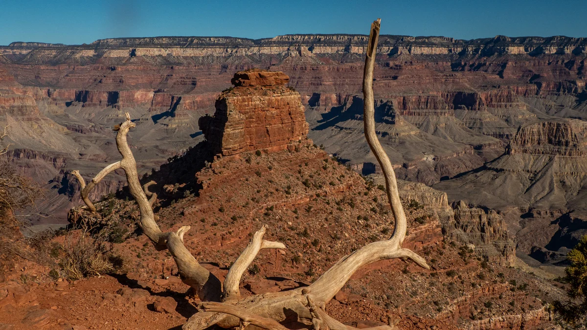
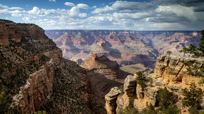
Carved along a narrow ridgeline rather than following a drainage like most canyon trails, South Kaibab is a steep, unshaded route descending from the South Rim that delivers some of the Grand Canyon's most open, unobstructed panoramas almost immediately. Landmarks like Ooh Aah Point and Cedar Ridge make it a favorite for a short, dramatic hike, though its exposure and lack of water make it a serious undertaking below the rim.
 Private Tours Popular Pick
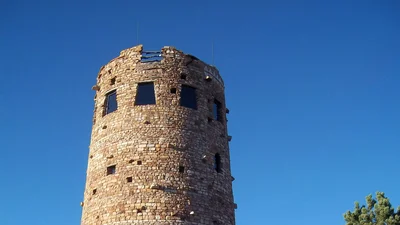
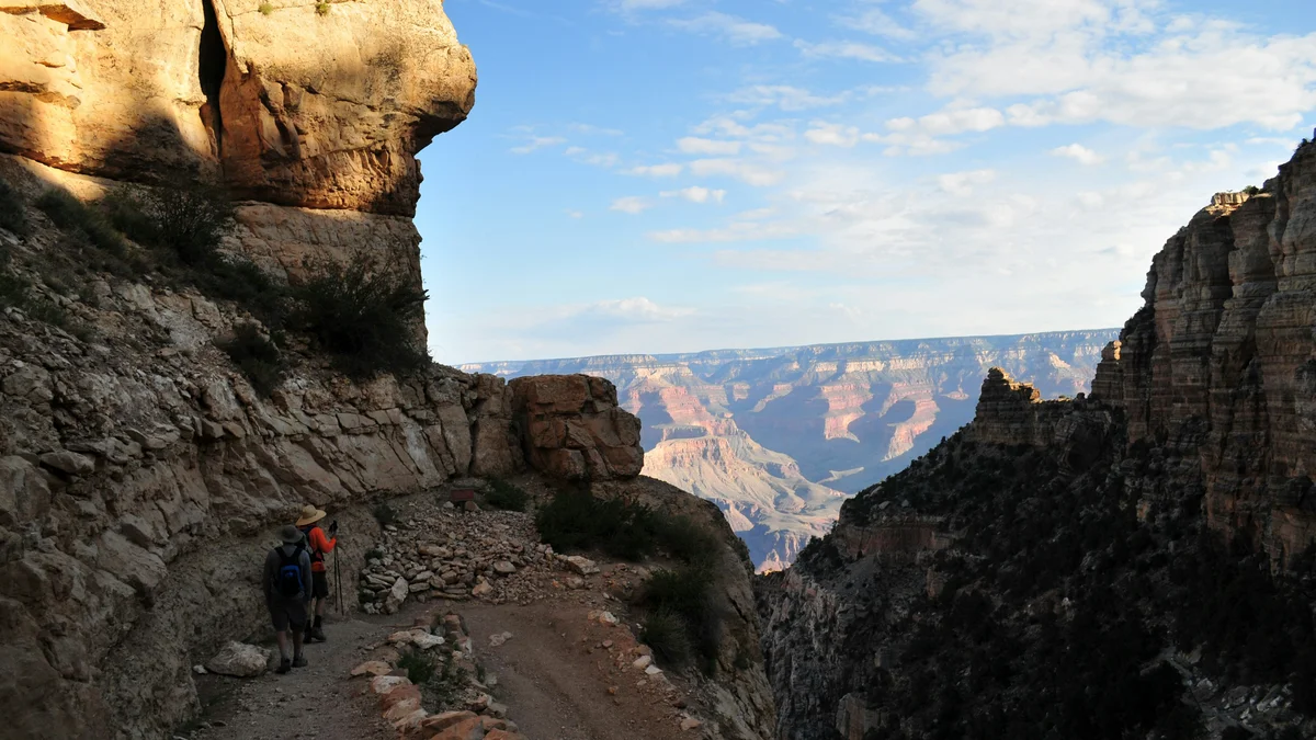
A private tour explicitly confirmed — 'only your group will participate' — real hiking on the South Kaibab, Bright Angel, and Grandview Trails, plus Desert View Watchtower.
 Private Tours
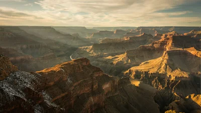
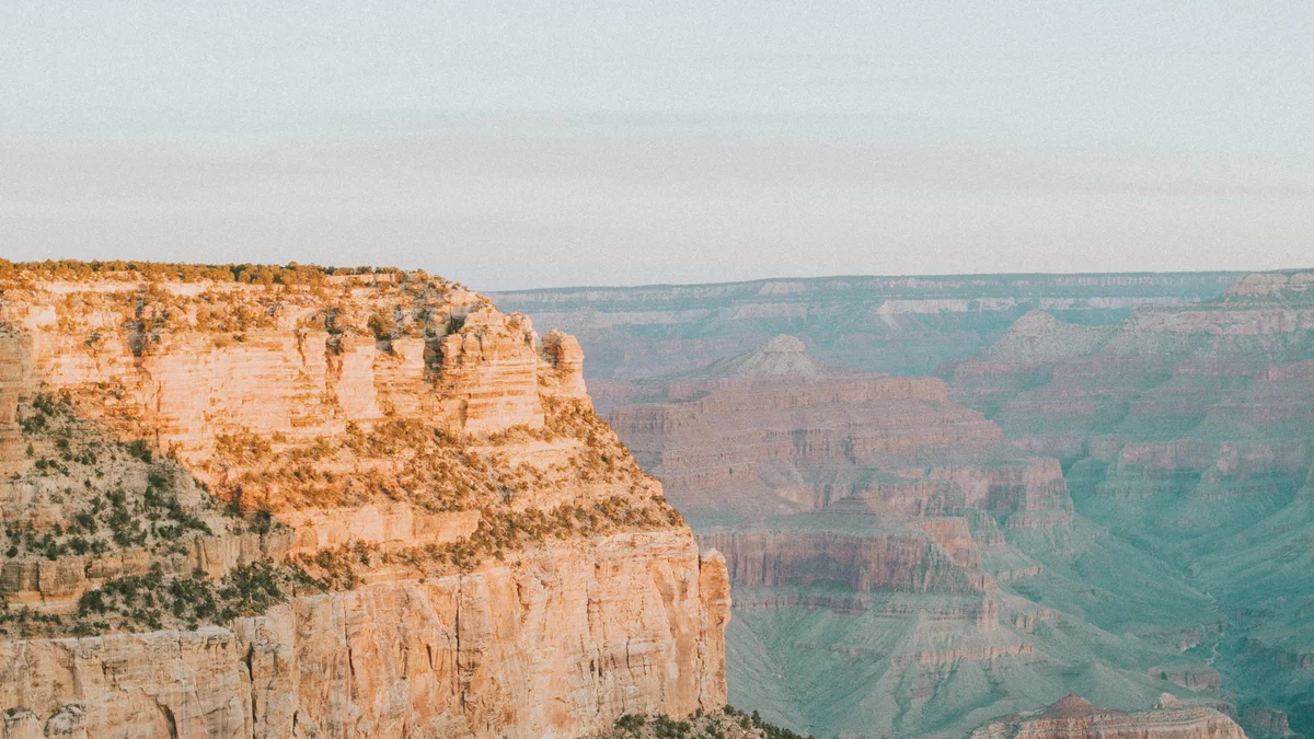
A private tour genuinely 'tailored to you' — real below-the-rim hiking timed for sunset, with dinner included at a real sunset viewpoint.
Visitor guide
South Kaibab Trail is one of the two main corridor trails from the Grand Canyon's South Rim to the Colorado River, and the one that earns its reputation for views. Instead of dropping down a side canyon, it follows a ridgeline, so the inner canyon opens up almost from the first switchback. According to the National Park Service, it runs about 6.3 miles from the rim to the Colorado River, with an elevation change of about 4,860 feet from a rim elevation of about 7,260 feet.
The trail exists because of a long-running dispute over the older Bright Angel Trail, which was controlled for years by Ralph Cameron and later by Coconino County. After Grand Canyon National Park was created in 1919, the National Park Service tried to take over that route, and talks with the county stalled. In December 1924 the Park Service announced it would build its own trail instead, widely called the Yaki Trail while it was under construction.
The National Park Service's own history of the project says two crews of roughly twenty men each worked from opposite ends, one down from the rim and one up from the river, drilling and blasting through hard limestone in winter weather. Park Service director Stephen Mather chose the name Kaibab over the Fred Harvey Company's preferred name, Phantom Trail. The trail was dedicated on June 15, 1925, at a total cost reported as just under $73,000, and it shortened the walk between the rim and the river by about 3.5 miles.
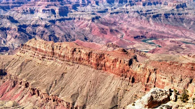
Hiking down is a walk through the canyon's rock record. The upper trail crosses the Kaibab Limestone and Toroweap Formation, and about half a mile in you can see a small dome where evaporite minerals pushed up through the limestone above. Lower down the trail passes the Coconino Sandstone, Hermit Shale and Supai Group, cuts through the Redwall, Muav and Bright Angel layers, and finishes across the Tapeats Sandstone and the dark Vishnu Schist near the river.
Distances below are from the rim trailhead and are approximate.
Ooh Aah Point, about 0.9 mile down, is named for the reaction people tend to have when the eastern canyon comes into view. Cedar Ridge, about 1.5 miles down, has toilets and is a common resting place for hikers and mule trains; O'Neill Butte, a Supai sandstone tower, stands close by. Skeleton Point, about 3 miles down, is where the trail begins to drop steeply through the Redwall Limestone. The Tipoff, where the trail meets the Tonto Trail, is about 4.4 miles in, and below that the trail averages a very steep grade, around 22 percent according to the Park Service. The Black Suspension Bridge crosses the Colorado River near the bottom, and the trail ends at the Bright Angel Campground area, roughly 7 miles from the rim, with Phantom Ranch a short walk beyond.
Yaki Point and Mather Point are both a short distance along the rim, and the Bright Angel Trail starts near Grand Canyon Village. On a Voyzo private tour, your private driver and vehicle can deliver you to the shuttle connection for the trailhead and collect you from the village side afterward, so a short rim-side hike does not need a car shuttle or a return climb to a parking lot.
See every tour and attraction we cover in Grand Canyon.