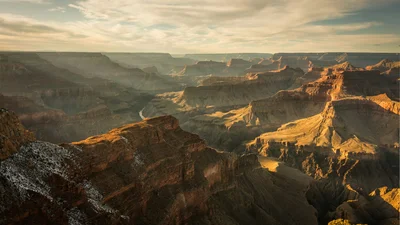
TorontoOntario · 36 tours
 Niagara FallsOntario · 25 tours
 New York CityNew York · 30 tours
 Las VegasNevada · 8 tours
 San FranciscoCalifornia · 16 tours
 VancouverBritish Columbia · 17 tours
 DubaiUAE · 54 tours
 Abu DhabiUAE · 5 tours
 Buenos AiresArgentina · 23 tours
 AthensGreece · 31 tours
 AucklandNew Zealand · 38 tours
 CancunMexico · 54 tours
No destinations match “”. Try searching all tours instead — that search understands full questions, not just place names.
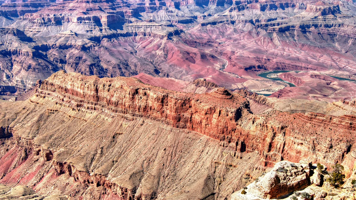
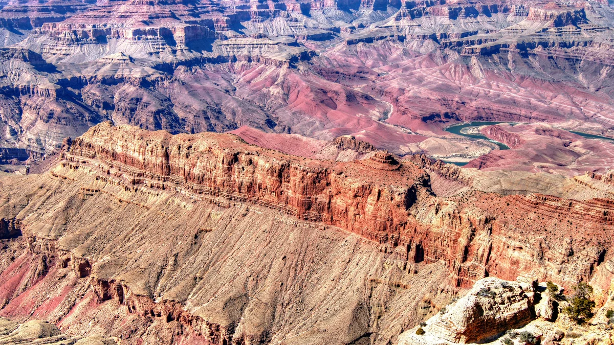
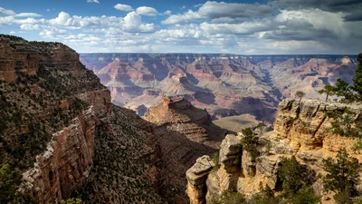
Named for Stephen Mather, the first director of the National Park Service, this South Rim overlook is often the very first canyon view visitors see, since it sits just a short walk from the main visitor center. Its easy access makes it one of the busiest viewpoints in the park, but its wide, sweeping vantage over the canyon's inner gorge and the distant Colorado River still makes it a genuine highlight.
Visitor guide
Mather Point is a South Rim overlook at about 7,119 feet, roughly two miles east-northeast of Grand Canyon Village. It is the first canyon view for many visitors, thanks to a walk of about five minutes from the Grand Canyon Visitor Center. On a clear day the National Park Service says you can see more than 30 miles east and more than 60 miles west.
The point is named for Stephen Tyng Mather, the Chicago businessman who moved to Washington in 1915 to help found the National Park Service and served as its first director from 1917 to 1929. Mather argued that scenic magnificence should be the main test for creating a national park, and during his tenure the system grew to include Grand Canyon, Shenandoah, Great Smoky Mountains and Mammoth Cave, among others.
Mather was born in San Francisco in 1867 and graduated from the University of California, Berkeley, in 1887. After working as a newspaper reporter in New York, he joined the Pacific Coast Borax company in 1894 and is credited with the "20 Mule Team Borax" branding; in 1904 he left to run his own borax firm, which made him wealthy enough to pursue conservation. He also joined the Sierra Club that year through his friendship with John Muir. According to the account on Wikipedia, he complained to the Interior Department in 1914 about the state of the parks, and Secretary Franklin K. Lane replied that he should come to Washington and run them himself. In 1915 Mather hosted influential guests on a two-week trip through Sequoia National Park to build support for the idea, and President Woodrow Wilson signed the act creating the National Park Service on August 25, 1916. By the time Mather left office after a stroke in January 1929, the system included 20 national parks and 32 national monuments. He died in January 1930, and other places named for him include Mather Pass in Kings Canyon.
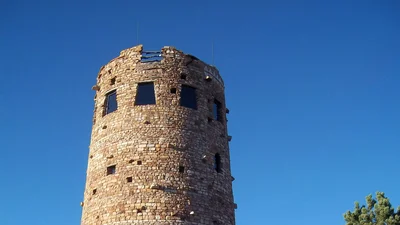
Grand Canyon was first protected as a national monument by Theodore Roosevelt on January 11, 1908, and became a national park when Wilson signed the Grand Canyon National Park Act on February 26, 1919, during Mather's years as director. It was designated a UNESCO World Heritage Site in 1979. The historic buildings of Grand Canyon Village, including Kolb Studio (1904), El Tovar Hotel and Hopi House (both 1905) and the railway depot (1910), lie a short distance west of the point along the same rim.
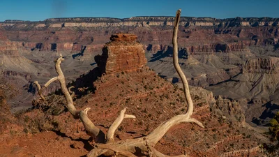
The overlook is built on cliff-forming Kaibab Limestone, usually buff or tan-white, broken into large blocks and pitted with erosion holes. Geologist N. H. Darton named the formation in 1910 after the Kaibab Plateau. It dates to the Permian period and is roughly 300 to 500 feet thick in the Grand Canyon region (sources give slightly different figures). It is full of marine fossils such as brachiopods, sponges, corals and crinoids, and its chert layers form recesses on cliff faces. Below the limestone are the slopes of the Toroweap Formation and the white cliffs of the Coconino Sandstone, and deeper layers step down to the Tonto Group and, far below, the Colorado River. The Park Service notes that the canyon walls expose a largely undisturbed section of the Earth's crust spanning about two billion years, with nearly 40 identified rock layers; the oldest crystalline rocks of the inner gorge were metamorphosed roughly 1,750 million years ago, while the Paleozoic layers date from about 550 to 250 million years ago. The point rises about 450 feet in prominence and sits roughly 1.5 miles from Yaki Point.
Looking north you can see the inner Granite Gorge and the line of Bright Angel Canyon. Named features include Isis Temple, Cheops Pyramid, and to the east Zoroaster Temple. The Park Service says visitors can pick out stretches of the Colorado River, Phantom Ranch at the canyon bottom, and many crisscrossing trails. The point is also a popular place for sunrise and sunset, and the Park Service recommends arriving early.
There is no parking at the point itself; parking lots 1-4 near the visitor center are a short walk away, and the Park Service notes they can fill early on busy days. The free Kaibab/Rim (Orange) Route shuttle stops at the point. The Rim Trail passes through the overlook, so you can walk east or west for quieter views; Wikipedia describes the trail as running west for about eight paved miles and then about seven unpaved miles to Hermits Rest, with the option to join and leave it almost anywhere. Amenities include an amphitheater, interpretive exhibits and a picnic table, and the viewing area is wheelchair accessible. Check the NPS for current visitor center hours and shuttle operation.
Yavapai Point lies about 0.75 mile west along the rim, and Yaki Point and the South Kaibab trailhead are about 1.5 miles east. On a Voyzo private tour, your private driver and vehicle can bring you to the visitor center area and help plan the stop around light and crowds, so you are not circling a full parking lot.
See every tour and attraction we cover in Grand Canyon.