TorontoOntario · 36 tours
 Niagara FallsOntario · 25 tours
 New York CityNew York · 30 tours
 Las VegasNevada · 8 tours
 San FranciscoCalifornia · 16 tours
 VancouverBritish Columbia · 17 tours
 DubaiUAE · 54 tours
 Abu DhabiUAE · 5 tours
 Buenos AiresArgentina · 23 tours
 AthensGreece · 31 tours
 AucklandNew Zealand · 38 tours
 CancunMexico · 54 tours
No destinations match “”. Try searching all tours instead — that search understands full questions, not just place names.
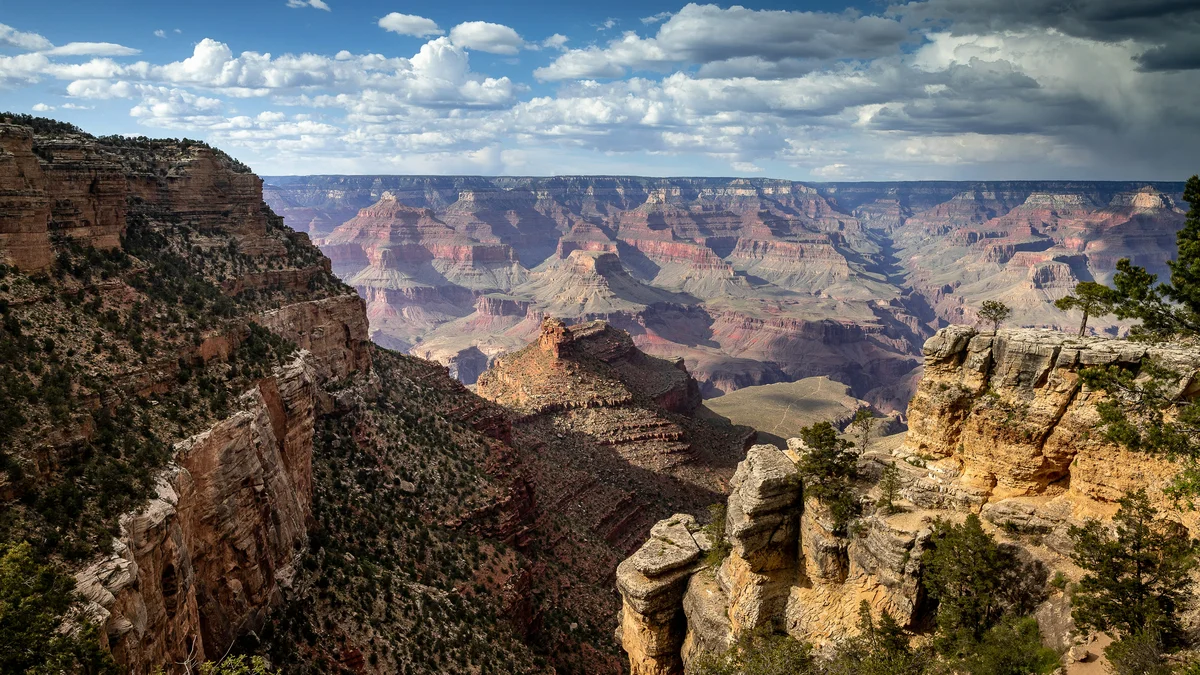
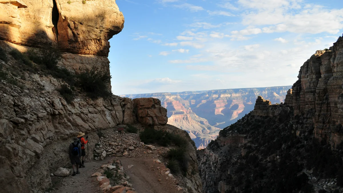
One of the Grand Canyon's oldest and most historic corridors, Bright Angel Trail follows a route used by the Havasupai people long before the canyon became a national park, descending from the South Rim near Grand Canyon Village. Unlike the more exposed South Kaibab route, it has seasonal water stations and rest houses along the way, making it the more forgiving of the two classic South Rim descents into the canyon.
Visitor guide
Bright Angel Trail is the Grand Canyon's best-known corridor trail, leaving the South Rim beside Grand Canyon Village and reaching the Colorado River after about 7.7 miles. It follows a natural break in the canyon walls and is the more shaded and better-supplied of the two classic South Rim descents, though the National Park Service still rates it strenuous.
The upper trail was built by the Havasupai people, who used it to reach the perennial water at Garden Creek and lived seasonally in the area below the rim. Ralph Cameron settled on the rim in 1890, improved the old route and extended it to the river; it was commonly called Cameron's Trail in its early years, and he charged a toll of one dollar. Sources differ on exactly when the toll began and how ownership passed between Cameron, Coconino County and others, so treat early dates with caution.
The Kolb brothers, Ellsworth and Emery, arrived at the canyon in the early 1900s and photographed visitors riding down Cameron's trail, later building the studio at the trailhead that still stands as Kolb Studio. Competition for a toll-free route led the Santa Fe Railway to improve the Hermit Trail in 1911 and the Park Service to build the South Kaibab Trail in 1924-25. After a long legal fight, the Bright Angel Trail passed to the National Park Service in 1928.
The green oasis at roughly the trail's midpoint was long known as Indian Garden. The Havasupai who lived there were removed in the early twentieth century, with the last forced out by the Park Service in 1928. In 2022 the U.S. Board on Geographic Names approved the name Havasupai Gardens at the request of the National Park Service and the Havasupai Tribe, and a public ceremony marked the change in May 2023.
According to the Park Service, the trail starts at about 6,860 feet and descends roughly 4,380 feet to the river at about 2,480 feet, an average grade near 10 percent. Milestones are the Mile-and-a-half Resthouse (1.5 miles), the Three Mile Resthouse (3.0), Havasupai Gardens (4.5) and the River Resthouse (7.7). The Park Service says most of the elevation change occurs in the upper four miles, in a series of switchbacks. From the river, the River Trail continues to Bright Angel Campground and Phantom Ranch, making about 9.5 miles from the rim to Bright Angel Campground. At Havasupai Gardens the Plateau Point Trail and Tonto Trail branch off.
The trailhead is near Bright Angel Lodge, Kolb Studio and the Rim Trail, and Mather Point and El Tovar Hotel are a short distance away. On a Voyzo private tour, the private driver can drop you at the trailhead and meet you there afterward, so you can choose how far down to go without worrying about transport.
See every tour and attraction we cover in Grand Canyon.