TorontoOntario · 36 tours
 Niagara FallsOntario · 25 tours
 New York CityNew York · 30 tours
 Las VegasNevada · 8 tours
 San FranciscoCalifornia · 16 tours
 VancouverBritish Columbia · 17 tours
 DubaiUAE · 54 tours
 Abu DhabiUAE · 5 tours
 Buenos AiresArgentina · 23 tours
 AthensGreece · 31 tours
 AucklandNew Zealand · 38 tours
 CancunMexico · 54 tours
No destinations match “”. Try searching all tours instead — that search understands full questions, not just place names.
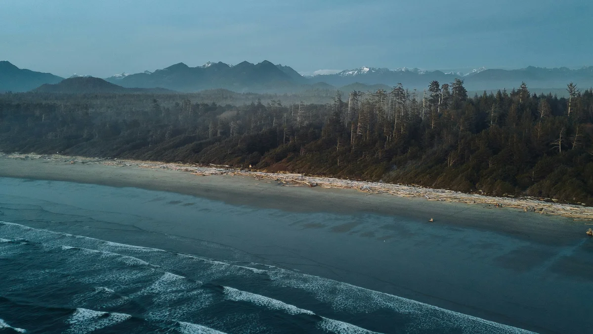
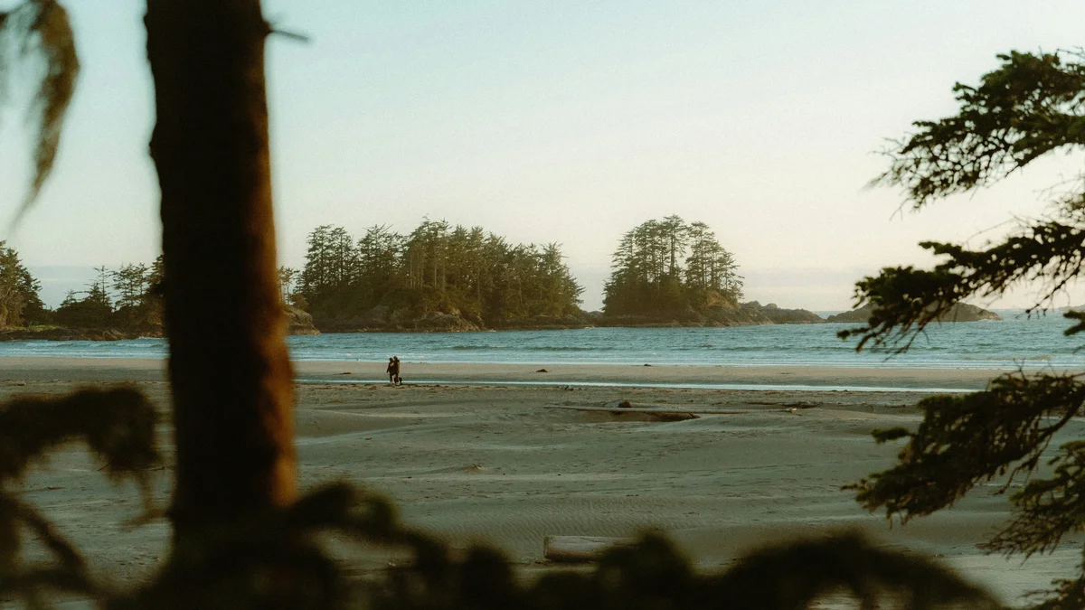
A sweeping, 16-kilometre stretch of sand between Tofino and Ucluelet, Long Beach is the signature beach of Pacific Rim National Park Reserve and one of Canada's best-known surf breaks. Its combination of old-growth rainforest backing straight onto open Pacific surf is genuinely rare on Canada's west coast, and it's a real, working part of the national park with ranger-maintained trails and beach access points.
Visitor guide
Long Beach is the best-known part of Pacific Rim National Park Reserve on the west coast of Vancouver Island, British Columbia. The Long Beach unit runs along Highway 4 between Tofino and Ucluelet, and Wikipedia gives its area as about 212 square kilometres. It is one of three units of the reserve, alongside the Broken Group Islands and the West Coast Trail.
The reserve was created through a 1970 agreement between the federal and provincial governments, with an opening ceremony in 1971. Acquiring all the land took years of disputes over timber rights and compensation, and the remaining lands were not secured until 1988. In 2000 it was formally added to the National Parks Act as a park reserve, reflecting an accepted Nuu-chah-nulth Tribal Council rights claim. The park excludes 21 reserves of seven First Nations, and most of it lies within claimed traditional territories. Parks Canada works with First Nations on shared management, and the Tla-o-qui-aht have declared Meares Island and the Kennedy Lake watershed as tribal parks.
In total the reserve covers about 511 square kilometres, with roughly 290 of land and 221 of marine area. Wikipedia reports about 1.16 million visits in 2022 to 2023. The Broken Group has more than 100 uninhabited islands in Barkley Sound, popular with sea kayakers, and the West Coast Trail is a 75-kilometre trek between Port Renfrew and Bamfield.
The Long Beach unit mixes wide, open sandy beaches with temperate rainforest. The dominant trees are western hemlock, Sitka spruce and western red cedar, and annual precipitation is roughly 3,500 to 4,000 millimetres. The coastline is used for surfing, beachcombing and storm-watching. Kwisitis Visitor Centre, formerly the Wickaninnish Interpretive Centre, has a viewing deck for whales and a sunroom for storm-watching according to Parks Canada's activity list, and it also runs on a reduced winter schedule. A short boardwalk loop, the Rainforest Trail (sources describe it as 1 to 2 kilometres, with stairs) is an easy way into the forest, and Schooner Cove Trail runs about 1 kilometre one way from the highway. The Tofino-Long Beach Airport is an enclave inside the park.
Marine life offshore includes kelp forests and migration routes for whales such as grey and humpback whales.
Beach access depends on tides, currents and erosion, and Pacific water is cold and the surf can be powerful, so take rip-current and tide warnings seriously. Check Parks Canada for current trail closures, alerts, parking and pass requirements, visitor-centre hours, and any reservation rules.
Chesterman Beach and Tofino lie to the north and Ucluelet to the south. A private tour with Voyzo, with a private vehicle and driver collecting you door to door, would let you choose between beach walks and boardwalk loops without having to drive the winding Highway 4 yourself.
See every tour and attraction we cover in Vancouver Island.