TorontoOntario · 36 tours
 Niagara FallsOntario · 25 tours
 New York CityNew York · 30 tours
 Las VegasNevada · 8 tours
 San FranciscoCalifornia · 16 tours
 VancouverBritish Columbia · 17 tours
 DubaiUAE · 54 tours
 Abu DhabiUAE · 5 tours
 Buenos AiresArgentina · 23 tours
 AthensGreece · 31 tours
 AucklandNew Zealand · 38 tours
 CancunMexico · 54 tours
No destinations match “”. Try searching all tours instead — that search understands full questions, not just place names.
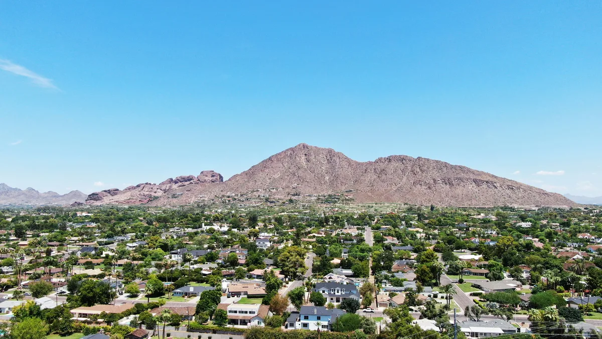
Phoenix's most iconic peak, named for its dual-humped silhouette rising over the Arcadia and Paradise Valley neighborhoods. The popular Echo Canyon Trail is a strenuous roughly 2.4-mile round trip with about 1,280 feet of elevation gain, drawing hikers for its panoramic views over the Valley of the Sun.
Visitor guide
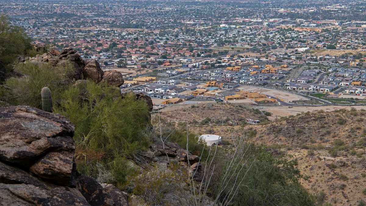
Camelback Mountain is the highest peak in the Phoenix metropolitan area, rising to about 2,700 feet between the Arcadia neighborhood and the town of Paradise Valley. Its name comes from the profile of a kneeling camel, and it is one of the best-known landmarks and hiking destinations in the Valley of the Sun.
The mountain is a striking contrast between two rock types. The higher peak is Precambrian granite, about 1.5 billion years old, while the camel's red head is sandstone from the Oligocene epoch, about 25 million years old. The gap between them is a geologic unconformity. Sources give the summit elevation as 2,704 or 2,706 feet, with prominence of about 1,334 feet.
A cave on the mountain's north side points to its use as a sacred site by the prehistoric Hohokam culture, who left the area in the fourteenth century. In January 1879 President Rutherford B. Hayes included the mountain in a one-million-acre reservation for the Salt River Pima and Maricopa tribes; about six months later, the Arizona Territorial Legislature reversed the decision, citing the interests of the roughly 5,000 non-Indian residents.
Efforts to protect the mountain as a natural preserve began in the early 1910s. By the 1960s, nearly all of it had been sold to private interests, and attempts to stop development above the 1,600-foot level initially failed. Senator Barry Goldwater took up the cause in 1965 and helped secure the higher elevations against development, and the area became a Phoenix city park in 1968. The peak also gives its name to Camelback Road, which runs roughly 34 miles across the Valley.
Two main trails reach the summit, both rated strenuous with a climb of about 1,280 feet. Echo Canyon, from the Echo Canyon Recreation Area, is the shorter at about 1.1 miles each way according to Wikipedia, though earlier figures of up to 1.3 miles circulate. The City of Phoenix describes it as extremely difficult, steep and rocky, requiring handrails and scrambling, and notes it is exposed with little shade. Cholla Trail, from the Invergordon Road trailhead on the east side, is about 1.4 miles one way. A typical round trip takes about 1.5 to 3 hours. Bobby's Rock Trail, a short side loop off Echo Canyon, circles a large sandstone boulder.
Echo Canyon has restrooms, benches and potable water at its trailhead, and Cholla has a restroom and drinking fountain. Hours are sunrise to sunset, and the city has approved trail closures during extreme heat, so check the City of Phoenix Parks and Recreation Department for current hours, closures and trail status. Summer heat is the main hazard in Phoenix, and early starts are the norm.
A red sandstone formation on the northern slope called the Praying Monk resembles a kneeling figure, rises about 100 feet and is used by rock climbers. It is a landmark visible from many parts of Scottsdale and Paradise Valley.
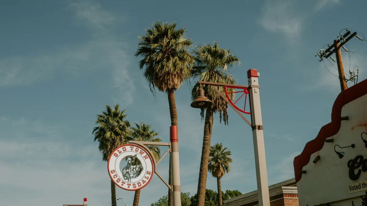
Camelback is close to Scottsdale, Paradise Valley and Old Town, and sits inside the larger Phoenix area. On a Voyzo private tour, your private driver and vehicle can drop you at a trailhead and collect you afterward, or just stop at a photo viewpoint if you prefer not to hike.
See every tour and attraction we cover in Phoenix.