TorontoOntario · 36 tours
 Niagara FallsOntario · 25 tours
 New York CityNew York · 30 tours
 Las VegasNevada · 8 tours
 San FranciscoCalifornia · 16 tours
 VancouverBritish Columbia · 17 tours
 DubaiUAE · 54 tours
 Abu DhabiUAE · 5 tours
 Buenos AiresArgentina · 23 tours
 AthensGreece · 31 tours
 AucklandNew Zealand · 38 tours
 CancunMexico · 54 tours
No destinations match “”. Try searching all tours instead — that search understands full questions, not just place names.
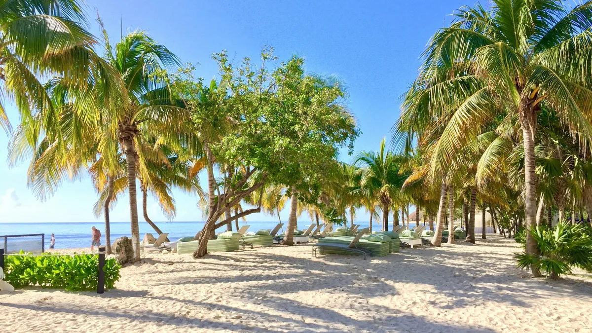
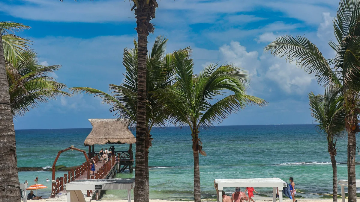
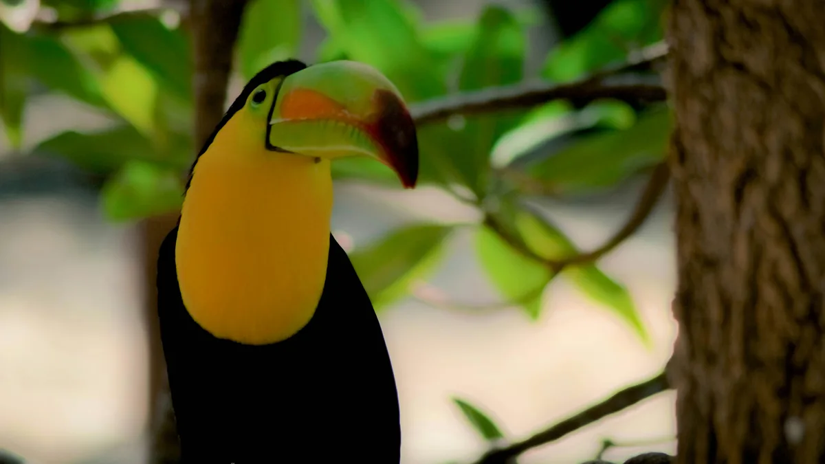
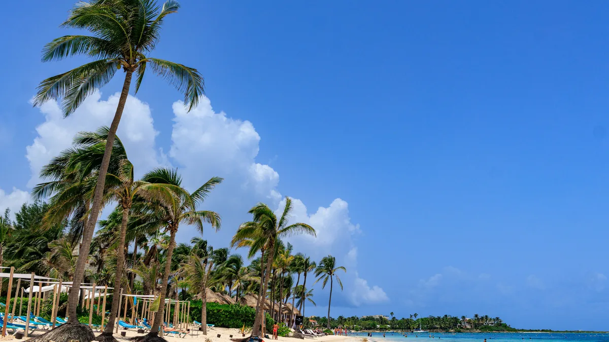
An upscale, gated residential and resort district just south of downtown Playa del Carmen, built around a golf course and a stretch of quiet beach. It also contains the small Xaman-Ha Mayan archaeological site and an aviary, making it a calmer contrast to the bustle of Fifth Avenue a short walk away.
Visitor guide
Playacar is a gated seaside resort area just south of the main urban area of Playa del Carmen, Quintana Roo, Mexico, within the Solidaridad municipality. It has grown up alongside Playa del Carmen and sits about 40 minutes from Cancun by road.
Wikipedia describes Playacar in two parts. Phase 1 has secluded beachfront properties and villas very close to downtown Playa del Carmen. Phase II is built around a golf course designed by Robert von Hagge and includes all-inclusive resorts and private villas. One Spanish-language source says the golf course was inaugurated in 1994 and has 18 holes, but that is less firmly sourced.
Playacar contains part of a pre-Columbian Maya settlement called Xaman-Ha, meaning northern water in Maya according to one source. Dating varies: Atlas Obscura says it was likely established in the 13th century as part of the Ekab chiefdom, while another source places its abandonment around 1526. INAH says the site was among the first Maya settlements seen by Spanish conquistadors in 1518, opposite Cozumel, and reports that 19 groups of civic and religious buildings have been identified. Another source says only three of eight original building groups remain visible within the residential area.
Xaman-Ha is linked to pilgrimages across the channel to the temple of Ixchel on Cozumel, though this connection is described by only some sources. Wikipedia's article on Cozumel says that from about 1250 the island was a port and pilgrimage center for worshippers of Ixchel, goddess of the moon, childbirth and weaving, which gives the mainland crossing its context. Atlas Obscura notes that Playacar is technically a private residential area but that the ruins can be visited.
Playa del Carmen was founded in 1937, began as a small fishing town and grew after passenger ferry service to Cozumel developed. Wikipedia gives its population as 17,621 in 1995, 43,613 in 2000, 100,383 in 2005, 149,923 in 2010 and 304,942 in the 2020 census, making it Quintana Roo's second-largest city after Cancun. The same article says Guinness World Records has recognized it as one of Latin America's fastest-growing communities. Playacar belongs to this period of resort growth rather than to the town's older history.
Wikipedia's Riviera Maya article says the Cancun to Tulum corridor was renamed the Riviera Maya in 1999, modeled on the Italian and French Rivieras, and that the district follows Highway 307 from the Solidaridad municipality to Tulum. The Mesoamerican Reef runs the length of this coast, and thousands of cenotes, limestone sinkholes with water at about 25 degrees Celsius year-round, dot the landscape inland. Just south of Playacar lies the Xcaret eco-park, while cruise ships dock at the Calica quarry docks about 10 km south of Playa del Carmen.
Playa del Carmen has a tropical savanna climate with most rain falling from June to November. Wikipedia gives average annual rainfall of 1,331 millimeters, with October the wettest month and March the driest. In October 2005 Hurricane Wilma passed directly over the city for two days, causing significant damage, though Wikipedia says most of it was repaired within a few weeks.
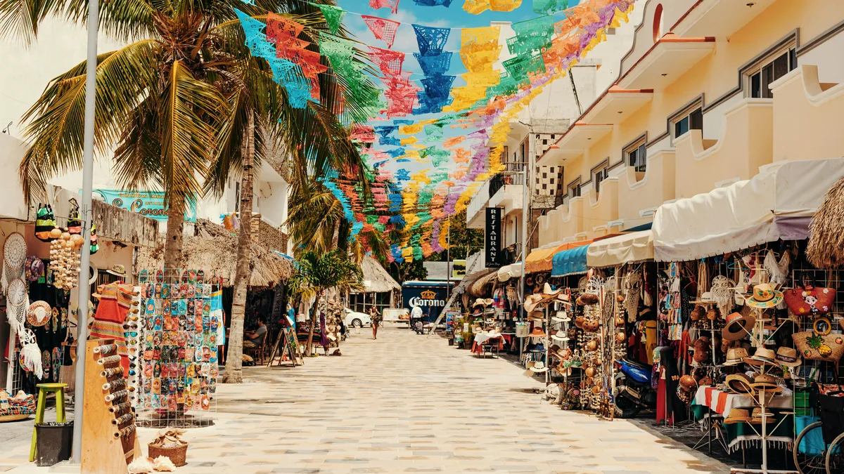
Playacar is close to downtown, the Cozumel ferry and Quinta Avenida. A private tour with a driver can include it as part of a wider tour of the area, with the guide providing background on the ruins and the history of Playa del Carmen.
See every tour and attraction we cover in Playa del Carmen.