TorontoOntario · 36 tours
 Niagara FallsOntario · 25 tours
 New York CityNew York · 30 tours
 Las VegasNevada · 8 tours
 San FranciscoCalifornia · 16 tours
 VancouverBritish Columbia · 17 tours
 DubaiUAE · 54 tours
 Abu DhabiUAE · 5 tours
 Buenos AiresArgentina · 23 tours
 AthensGreece · 31 tours
 AucklandNew Zealand · 38 tours
 CancunMexico · 54 tours
No destinations match “”. Try searching all tours instead — that search understands full questions, not just place names.
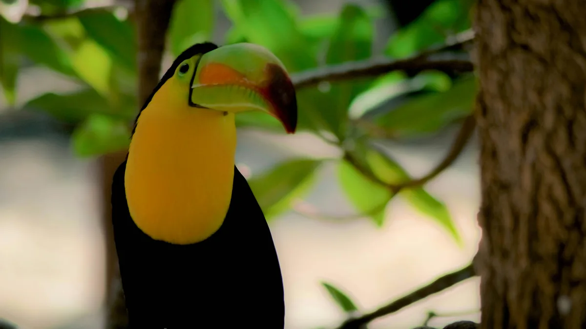
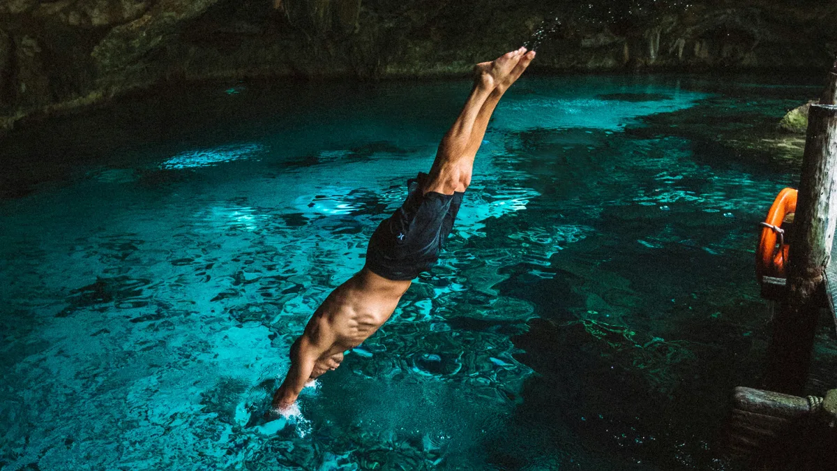
An eco-archaeological park just south of Playa del Carmen combining underground rivers, a coral reef aquarium, botanical gardens, and Mayan ruins across more than 50 attractions. Visitors can snorkel its rivers, watch wildlife including butterflies and flamingos, and see a nightly cultural show recreating pre-Hispanic ceremonies and traditions.
Visitor guide
Xcaret is a Maya archaeological site and a privately owned eco-archaeological park on the Caribbean coast of Quintana Roo, Mexico, just south of Playa del Carmen. The park was developed around cenotes, underground rivers and the remains of an ancient Maya coastal port.
According to Wikipedia, Xcaret means small inlet in Maya, after the inlet the Maya used for navigation and commerce, and the original name of the site was P'ole, from a root meaning merchandise or a deal of merchants. Documents cited by Wikipedia describe it as one of the most active and economically significant Maya ports on the east coast and mention marriages between the rulers of P'ole and the people of Cozumel, probably political alliances. The Spanish-language article adds that Xcaret was a departure point for pilgrimages to Cozumel, where Maya travellers went to honour Ix Chel, the goddess associated with fertility and the moon, and that the Chilam Balam mentions it in connection with the legendary migration of the Itza.
Mexico's National Institute of Anthropology and History (INAH) is cited as dating the first buildings to roughly AD 200 to 600, with most structures from 1200 to 1550. Late Postclassic structures line the coast, some placed in strategic positions for surveillance. Xcaret had a wall, but unlike the wall at Tulum, which was open towards the sea, Xcaret's wall defended the site against attack from the water and may also have divided solid inland ground from the swampy ground near the shore. The Spanish article describes the architecture as East Coast style, with painted decoration on facades and a predominance of red, and notes that many buildings were once covered in stucco.
Xcaret was still inhabited when the first Spanish expeditions of Alonso Davila and Francisco de Montejo reached the east coast of the Yucatan Peninsula between 1527 and 1529. In 1548 Juan Nunez was put in charge of Xcaret and a Spanish chapel was built, which suggests the settlement remained important. The chapel's thatched roof has disintegrated but its walls still stand. Wikipedia also reports that archaeologists found 135 human remains in the chapel, and that a DNA study of the site found mitochondrial lineages resembling those of contemporary Maya of the Yucatan Peninsula more than those of the ancient Maya of Copan.
The Spanish-language article says that in 1984 the architect Miguel Quintana Pali and Dr Ignacio Bernal Hurtado bought five hectares of land in the municipality of Solidaridad for a private project. While clearing the land they found cenotes and underground rivers, changed their plans, and partnered with the Constandse brothers to develop a park, which opened in December 1990. The park management is said to have funded INAH research to reconstruct the Maya pyramids and buildings found on the property, and the grounds now cover about 80 hectares.
According to the Spanish article, the park includes a coral reef aquarium, a manatee lagoon, an aviary, a butterfly house, a bat cave, orchid and bromeliad nurseries and an area for jaguars, and it runs a sea turtle conservation programme in cooperation with Mexican government agencies. The cultural programme includes a show on pre-Hispanic history and Mexican folklore, a replica Maya village and cemetery, and an annual festival of life and death in early November. Programmes and attractions change, so details are best checked close to a visit. A private guided visit with a driver suits groups travelling from Playa del Carmen or Cancun who want to combine the park with other Riviera Maya stops.
See every tour and attraction we cover in Playa del Carmen.