TorontoOntario · 36 tours
 Niagara FallsOntario · 25 tours
 New York CityNew York · 30 tours
 Las VegasNevada · 8 tours
 San FranciscoCalifornia · 16 tours
 VancouverBritish Columbia · 17 tours
 DubaiUAE · 54 tours
 Abu DhabiUAE · 5 tours
 Buenos AiresArgentina · 23 tours
 AthensGreece · 31 tours
 AucklandNew Zealand · 38 tours
 CancunMexico · 54 tours
No destinations match “”. Try searching all tours instead — that search understands full questions, not just place names.
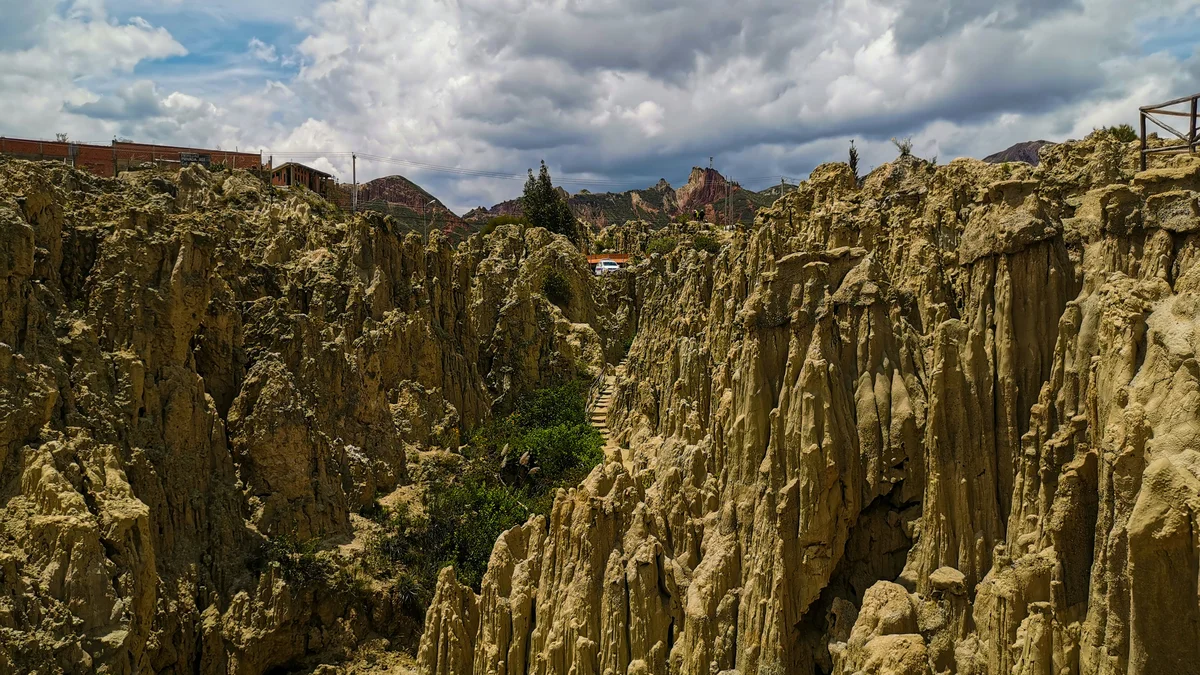
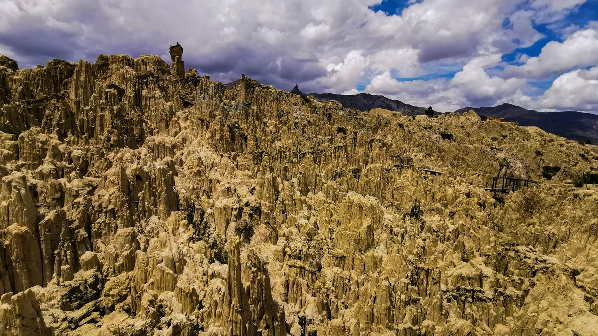
On La Paz's southern outskirts, Valle de la Luna is a badlands landscape where centuries of wind and rain have eroded clay and sandstone into a maze of spires, canyons, and towers that resemble a lunar surface. A marked walking loop of roughly 30 to 45 minutes winds through the formations, making it an easy add-on to a city tour.
 Private Tours
A private half-to-full-day tour through downtown La Paz — Plaza Murillo, San Francisco Church, the Witches' Market, and the otherworldly Valle de la Luna badlands on the city's edge.
 Private Tours
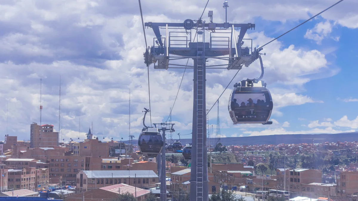
A private half-day tour on foot through La Paz's historic streets and markets, followed by a Mi Teleférico cable car ride over the city and a visit to the Valle de la Luna badlands.
 Private Tours
A private sunrise tour to Valle de las Animas (Valley of the Souls), where eroded rock spires rise up to 650 feet, followed by the Valle de la Luna badlands on the way back into the city.
 Private Tours
A private full-day tour up to Chacaltaya at 17,700 feet — once home to the world's highest ski resort before its glacier melted — with views toward Huayna Potosí and Lake Titicaca, then the Valle de la Luna badlands on the return.
Visitor guide
Valle de la Luna, or Moon Valley, is a badlands landscape on the southern edge of La Paz, Bolivia, in the lower reaches of the La Paz canyon. Wind and water have eroded soft clay and sandstone into spires, towers and narrow slots, giving the park its lunar look and its name.
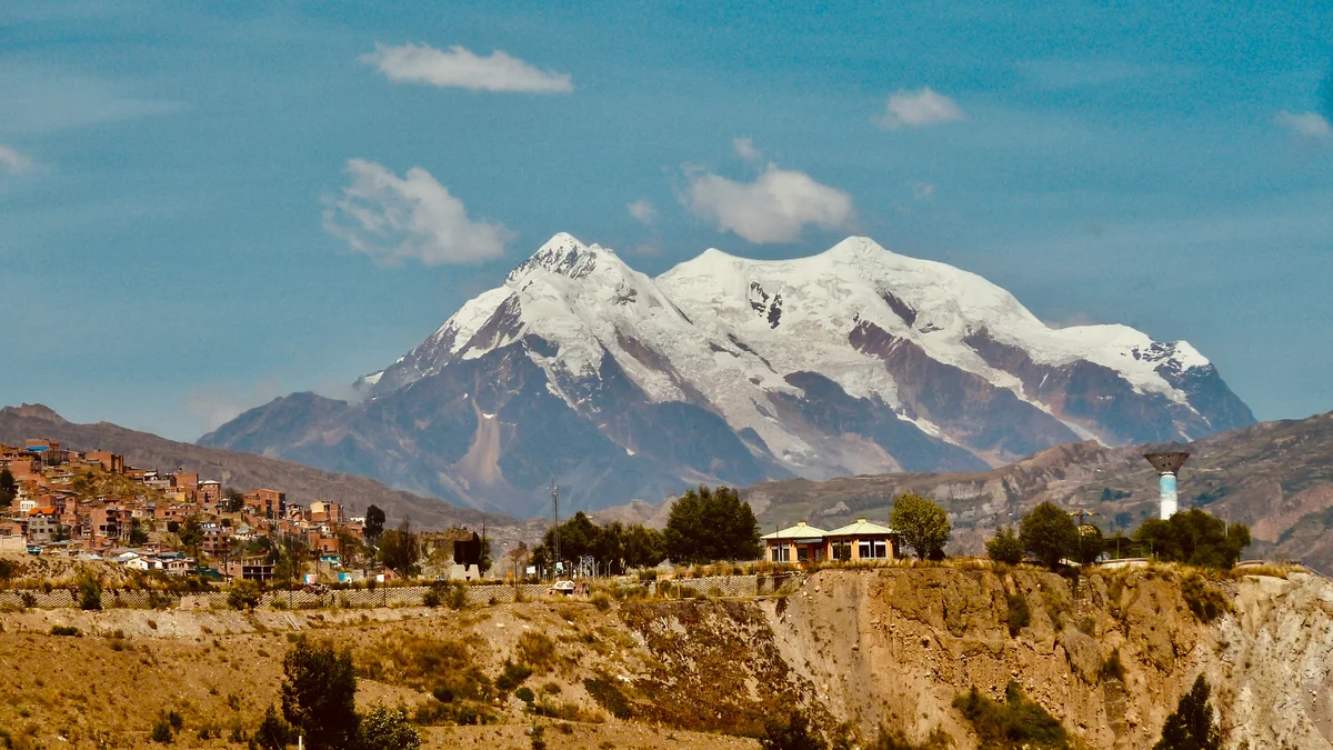
The valley lies about 10 kilometres south-west of central La Paz and is described by a geologist as a city park developed in the lower La Paz canyon. According to that geologist, the park shows badland weathering of conglomerate beds of the Miocene La Paz Formation. The beds are tan sedimentary layers dotted with cobbles and boulders of basement rock shed from the high mountains to the east, the Cordillera Real, whose snow-capped summit Illimani rises to 6,460 metres.
The conglomerates are alluvial fan deposits left when fast mountain streams left their canyons and spread debris into a basin at the base of the mountains. The deeply incised beds form vertical towers separated by narrow slots, some of them chimney-like gaps with tens of metres of relief. The La Paz Formation extends southward from Lake Titicaca for at least 100 kilometres and has largely escaped folding from the uplift of the neighbouring Cordillera Real.
Other accounts describe the valley as a mountain of clay that gradually washed away to reveal the harder rock beneath. Mineral variation gives the rock a range of colours described as red, blue, violet, gold and deep brown. Local guides have given names to formations such as the viscacha's jump, the turtle shell and the cholita's hat.
The soft rock erodes quickly. Strong winds and heavy rain shape the valley, and one article argues that acidic rain combined with air pollution is speeding the process, citing experts who estimate the valley could disappear within 100 to 500 years. These figures are speculative and come from a magazine article rather than a scientific study.
Animals reported in the valley include viscachas, small birds and lizards, and the article lists more than 32 cactus species, including the San Pedro cactus. A popular story told by local guides credits the astronaut Neil Armstrong with naming the valley in 1969, but the article that repeats it treats it as a legend and no documentary evidence was found, so it should be read as local folklore.
A geologist describes an easy loop trail with stairs and guard rails, and the park is a short drive from the old centre of La Paz. Other accounts describe narrow paths through the formations. A private guided visit can combine the valley with a city tour and give context on how the landscape formed.
See every tour and attraction we cover in La Paz.