TorontoOntario · 36 tours
 Niagara FallsOntario · 25 tours
 New York CityNew York · 30 tours
 Las VegasNevada · 8 tours
 San FranciscoCalifornia · 16 tours
 VancouverBritish Columbia · 17 tours
 DubaiUAE · 54 tours
 Abu DhabiUAE · 5 tours
 Buenos AiresArgentina · 23 tours
 AthensGreece · 31 tours
 AucklandNew Zealand · 38 tours
 CancunMexico · 54 tours
No destinations match “”. Try searching all tours instead — that search understands full questions, not just place names.
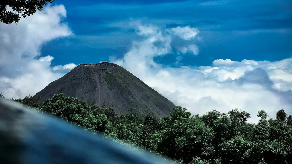
El Salvador's tallest volcano at 2,381 meters, rising above Cerro Verde National Park in the country's western highlands. A moderate hike leads to the crater rim, where a striking turquoise, sulfur-tinted crater lake sits inside the active cone — one of the signature views of the 'Land of Volcanoes.'
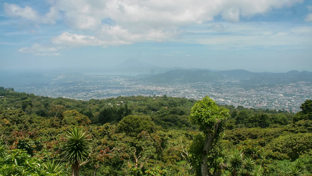 Multi-Day Tours Popular Pick
A full week and a half across El Salvador, from San Salvador Volcano and the colonial town of Suchitoto to the Ruta de las Flores, Santa Ana Volcano, and the Pacific surf beaches around El Tunco and La Libertad.
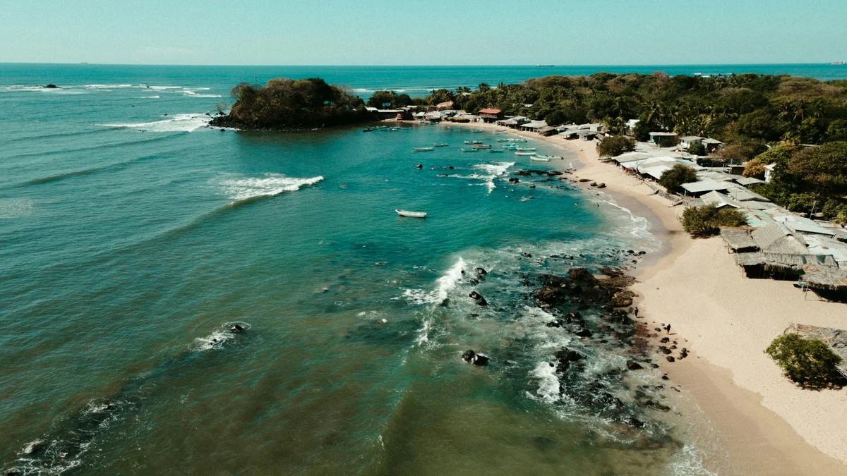 Multi-Day Tours
A family-paced six-day route through San Salvador, the colonial town of Suchitoto, El Salvador's three main Maya sites, and a hike up Santa Ana Volcano, finishing with beach time at El Tunco.
Visitor guide
Santa Ana Volcano, also known as Ilamatepec, is a large stratovolcano in the Santa Ana Department of western El Salvador. At 2,381 metres it is described as the highest volcano in the country. A small crater lake sits inside its summit complex, and the climb to the rim is one of the best-known hikes in El Salvador.
The volcano belongs to the Cordillera de Apaneca and rises immediately west of the Coatepeque Caldera, whose lake is a common companion stop. It is a subduction-zone volcano in the Central America Volcanic Arc, formed where one tectonic plate dives beneath another. Trail guides describe the hike as passing through cloud forest in the lower reaches before giving way to barren rocky terrain near the top, and the volcano is reached through Cerro Verde National Park. Neighbouring peaks include Izalco and Cerro Verde, which sources describe as flank vents or parasitic volcanoes associated with Santa Ana.
According to Wikipedia, the summit has four nested calderas and craters. The innermost holds a small crater lake, sometimes called Ilamatepec Lake. Accounts of its colour vary, with some describing it as green and others as turquoise and sulphur-tinted, and the exact shade can change with conditions. From the rim, visitors can look across to Izalco, Lake Coatepeque and, on clear days, toward the Pacific Ocean.
Wikipedia reports that a collapse of the summit during the late Pleistocene produced a massive debris avalanche that reached the Pacific Ocean and formed the Acajutla Peninsula. The page says this occurred no more than 57,000 years ago, based on soil samples beneath the deposits, and that later eruptions have largely rebuilt the cone.
Eruptions have been recorded since the 16th century, both from the summit and from cinder cones on the lower flanks. In 1722 flank vents at San Marcelino erupted, and lava flowed about 11 kilometres east, destroying the village of San Juan Tecpan. The most recent eruption described in the source occurred in October 2005; it killed at least two people, injured seven and threw rocks more than 1.5 kilometres, and it followed an earlier eruption in 1904. As an active volcano, it is monitored, and access to the crater can change, so tour plans should be confirmed locally.
The volcano has a subtropical highland climate, and the northeast-facing slope receives substantial rainfall in the summer months, with average annual precipitation of about 2,274 millimetres according to the data cited by Wikipedia. Mornings tend to give clearer views before cloud builds.
Wikipedia also notes, though flagged as needing a citation, that the volcano is said to have inspired one of the active volcanoes in Antoine de Saint-Exupery's novella The Little Prince, linked to his life with his Salvadoran wife Consuelo. This should be treated as a popular association rather than a firmly documented fact.
Hiking guides generally describe the trail as moderate, covering roughly 8 kilometres round trip with about 500 metres of elevation gain, over uneven ground with some scrambling near the top, and taking around four to five hours. Those figures vary by source. A private guided trip allows the day to be paced around weather, and combining it with Lake Coatepeque or other stops in western El Salvador is common.
See every tour and attraction we cover in El Salvador.