TorontoOntario · 36 tours
 Niagara FallsOntario · 25 tours
 New York CityNew York · 30 tours
 Las VegasNevada · 8 tours
 San FranciscoCalifornia · 16 tours
 VancouverBritish Columbia · 17 tours
 DubaiUAE · 54 tours
 Abu DhabiUAE · 5 tours
 Buenos AiresArgentina · 23 tours
 AthensGreece · 31 tours
 AucklandNew Zealand · 38 tours
 CancunMexico · 54 tours
No destinations match “”. Try searching all tours instead — that search understands full questions, not just place names.
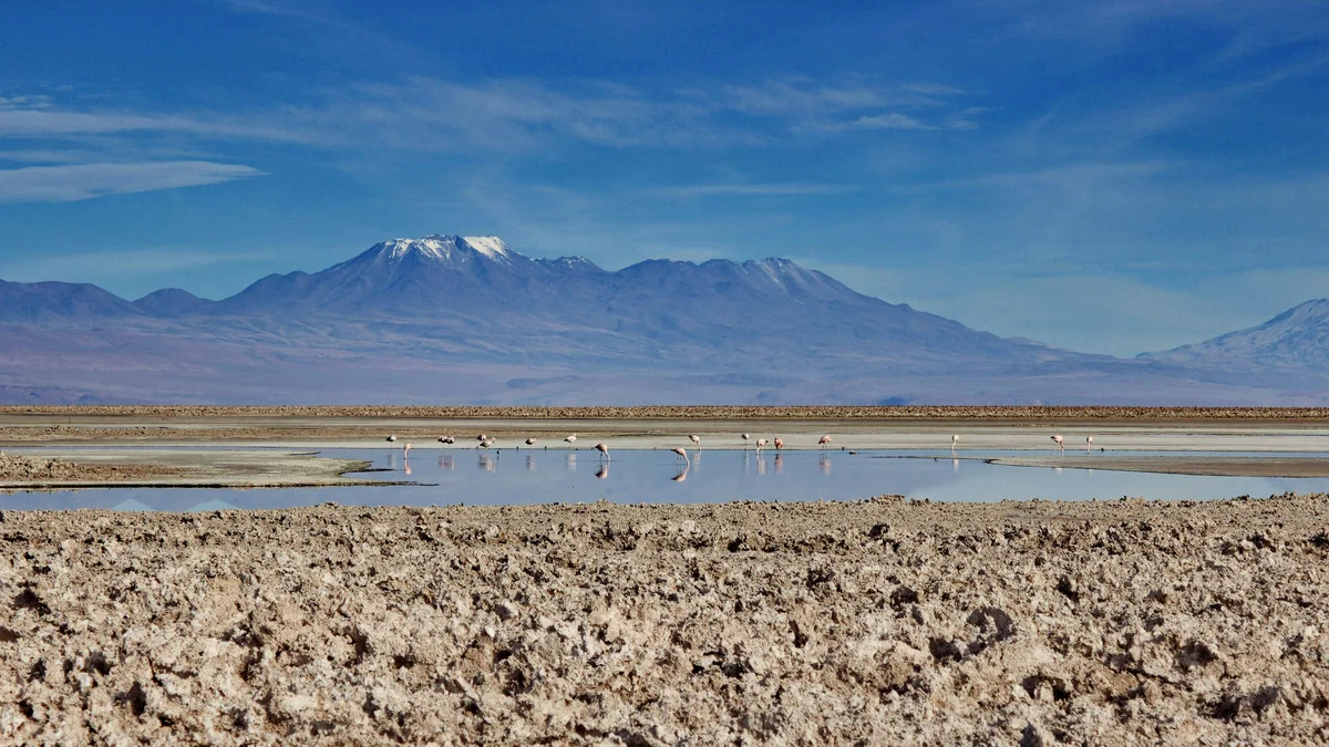
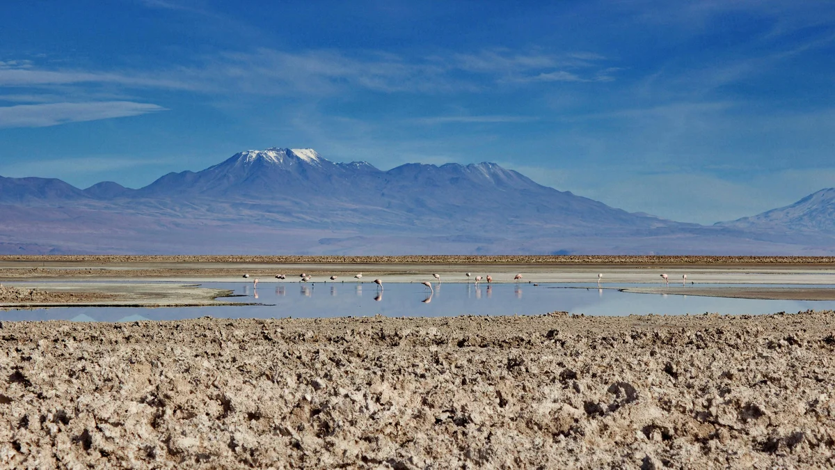
Chile's largest salt flat and one of the largest in the world, stretching south of San Pedro de Atacama across roughly 3,000 square kilometers of white salt crust. Its Soncor sector shelters real flamingo colonies at Chaxa Lagoon, drawn by the mineral-rich water that supports the algae and shrimp flamingos feed on.
Visitor guide
The Salar de Atacama is a salt flat in northern Chile, about 55 kilometres south of San Pedro de Atacama. According to Wikipedia it is the largest salt flat in Chile, enclosed by the Andes to the east and the Cordillera de Domeyko to the west, with no drainage outlet.
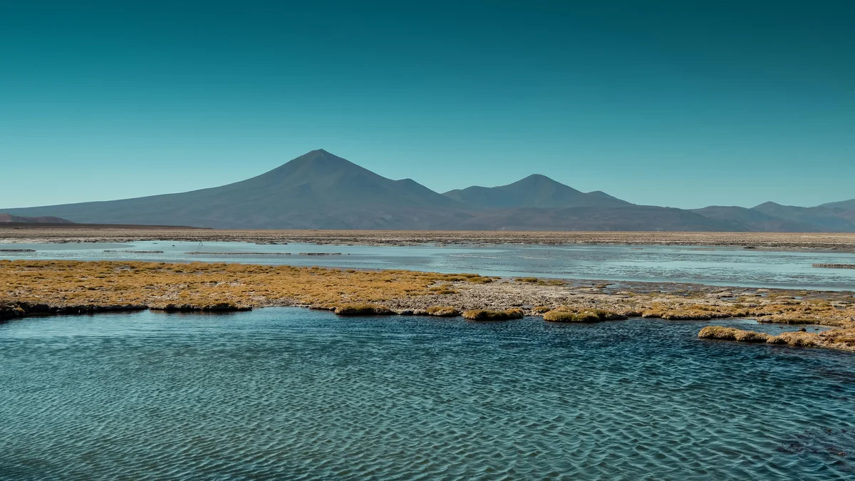
The salar covers roughly 3,000 square kilometres and measures about 100 kilometres long and 80 kilometres wide, ranking third in the world behind Bolivia's Salar de Uyuni and Argentina's Salinas Grandes, per Wikipedia. Its average elevation is around 2,300 metres. Volcanoes including Licancabur, Acamarachi, Aguas Calientes and Lascar line the eastern side.
Unlike Uyuni, the surface of the core is rough and irregular, shaped by evaporation and occasional surface water. Geologists describe the basin as a major topographical anomaly, a depression that may once have formed a rift arm connected to the Salta Rift Basin in Argentina.
Parts of the salt flat belong to the Los Flamencos National Reserve, a protected area of 740 square kilometres in seven separate sections. Flamingos of the three Chilean species feed in the saline lagoons of the reserve, and Laguna Chaxa, inside the salar, is a popular place to see them.
The Likan Antay people are the indigenous inhabitants of the salar and surrounding areas. Lithium was discovered in the brines in 1962 by the Anaconda Company while searching for freshwater for copper mining, and Wikipedia says the salar has become a significant hub of lithium extraction since the 2000s. Mining and tourism therefore share the landscape.
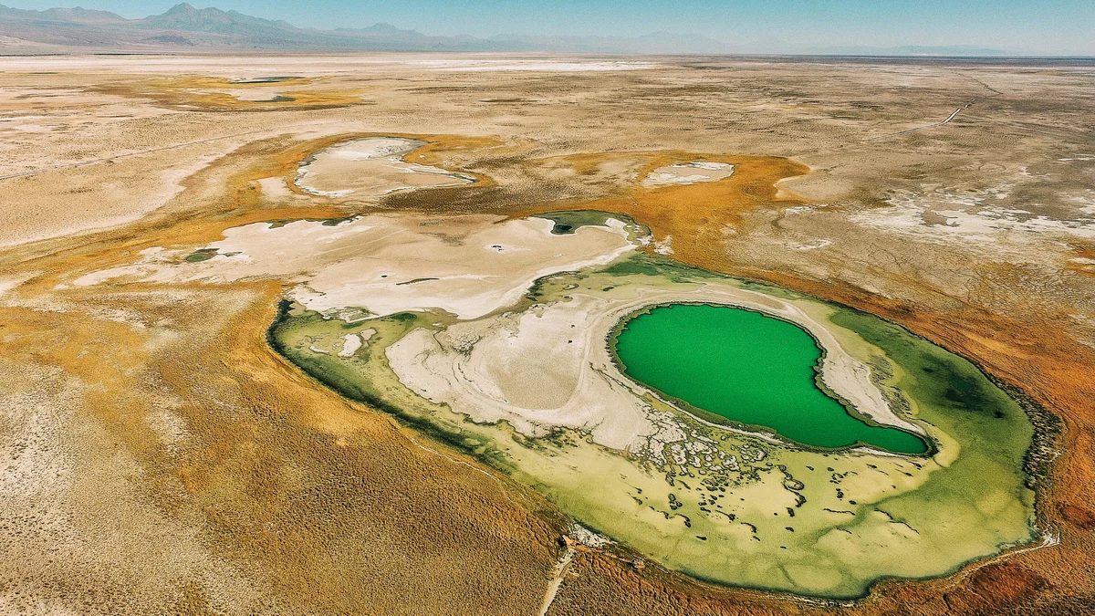
The Laguna Cejar is a sinkhole lake in the salar about 18 kilometres from San Pedro. Wikipedia says salt concentration ranges from 5 to 28 percent, producing at the high end a floating effect like the Dead Sea.
Wikipedia's account of the Los Flamencos reserve says the Salar de Atacama section is made of two parts, Soncor and Quelana. Soncor includes the Chaxa, Puilar and Barros Negros lagoons, and sustains Chilean and Andean flamingos, the latter using it as an important nesting site, along with the Andean avocet, yellow-billed teal and puna plover. The Soncor hydrological system is a Ramsar-protected site.
Quelana lies about 10 kilometres from the path to Chaxa and is a flat landscape of salt crust and saline mud. Plants such as cachiyuyo ring the lagoon edges, and eagles, burrowing owls and swallows also occur.
Wikipedia places the salar within the Lithium Triangle and says its brines have the highest lithium concentration of any salt flat in that region, helped by very high evaporation and extremely low rainfall. The article credits it with about 36 percent of world lithium carbonate supply as of 2017.
The same source notes that brine extraction has led to conflict over water use with local communities and has been linked to damage to local ecosystems, including the Andean flamingo. The Likan Antay people have both opposed extraction and negotiated agreements with mining companies. These debates are part of the contemporary story of the salar, alongside its landscape and wildlife.
Tours typically pass through the village of Toconao on the way. A private guided visit with a dedicated vehicle and driver can be tailored to the group's interests, with time for the lagoons and the volcano views.
See every tour and attraction we cover in San Pedro de Atacama.