TorontoOntario · 36 tours
 Niagara FallsOntario · 25 tours
 New York CityNew York · 30 tours
 Las VegasNevada · 8 tours
 San FranciscoCalifornia · 16 tours
 VancouverBritish Columbia · 17 tours
 DubaiUAE · 54 tours
 Abu DhabiUAE · 5 tours
 Buenos AiresArgentina · 23 tours
 AthensGreece · 31 tours
 AucklandNew Zealand · 38 tours
 CancunMexico · 54 tours
No destinations match “”. Try searching all tours instead — that search understands full questions, not just place names.
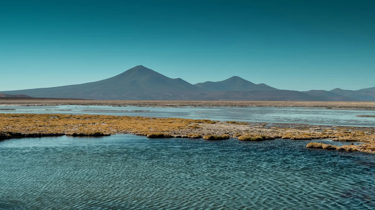
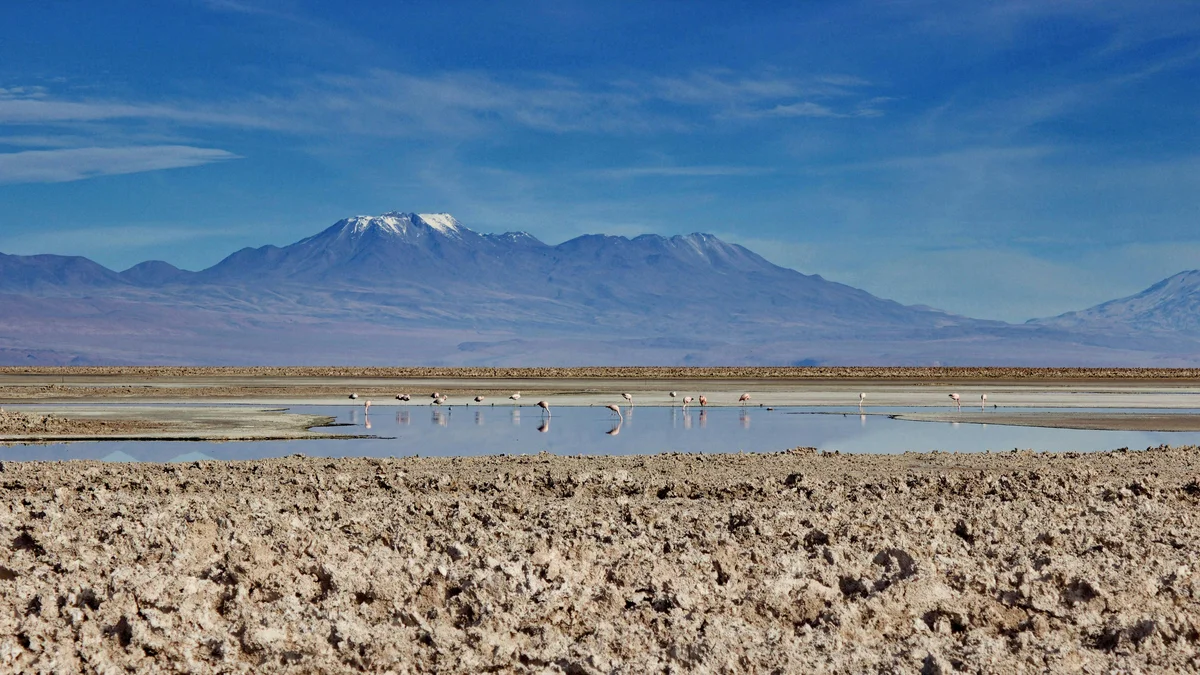
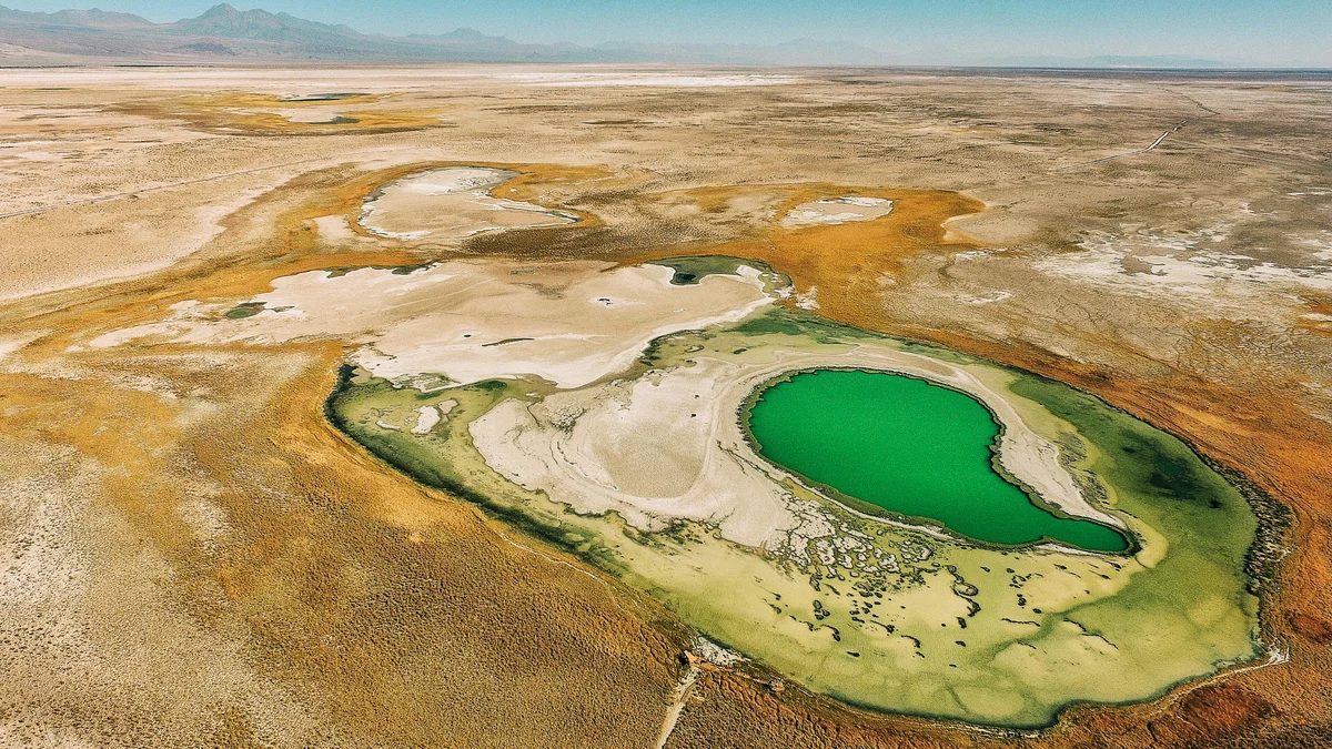
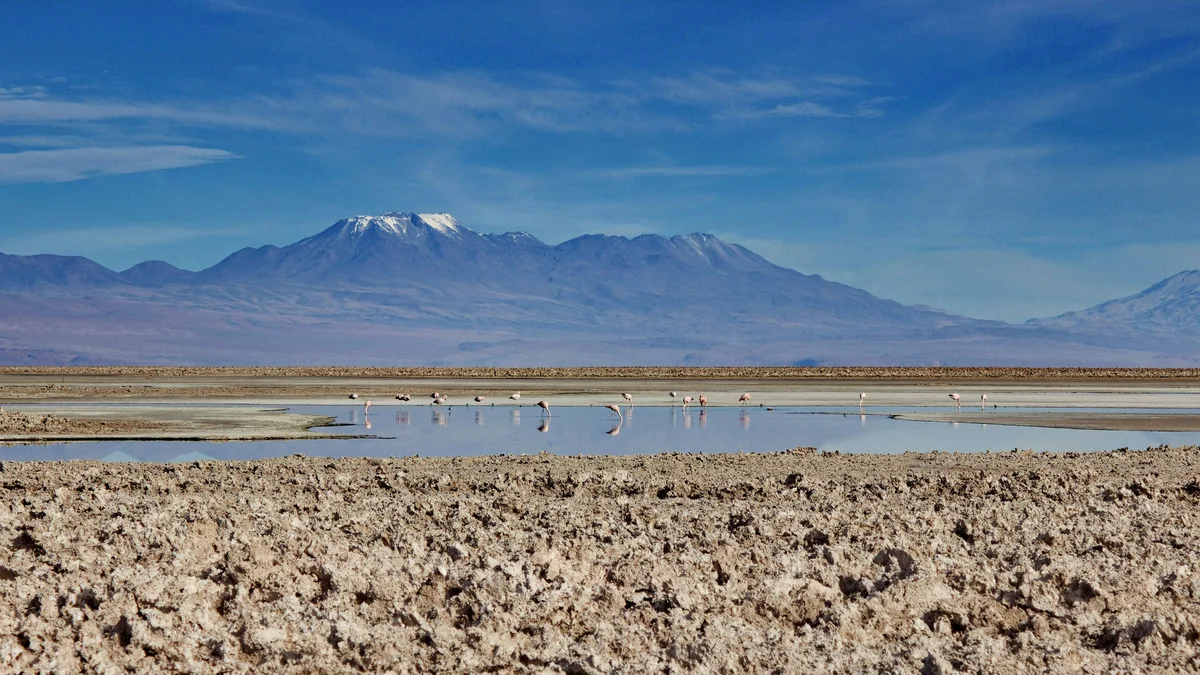
A striking high-altitude viewpoint over a turquoise altiplanic lagoon ringed by real, oxidized red rock formations, sitting above 4,000 meters near the Chile-Argentina border. The site's dramatic color contrast — red stone, turquoise water, white salt and snow-capped volcanoes — makes it one of the Atacama region's most photographed landscapes.
Visitor guide
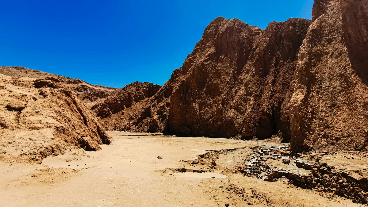
Piedras Rojas, or the Red Stones, is a landscape of rust-red rock formations on the high plateau southeast of San Pedro de Atacama in northern Chile. Tourism sources place it above 4,000 metres in the Los Flamencos National Reserve, beside the Salar de Aguas Calientes, where the red rock contrasts with a white salt flat and blue high-altitude lagoons.
Chile's tourism board attributes the colour of the rocks to iron oxidation, and tour descriptions use the same explanation. The setting is a salt flat in the Atacama highlands, with red outcrops giving the place its name. Tourism sources describe the salt flat's colours as turquoise and blue, set against the red. Los Flamencos National Reserve, according to Wikipedia, includes two nearby salt flats, Tara and Aguas Calientes, that reach up to about 4,860 metres, and sections of the reserve have been listed as Ramsar wetlands.
The site belongs to the Central Andean dry puna, a cold, dry and windy high plateau. Los Flamencos National Reserve, established in 1990 and managed by CONAF, covers about 740 square kilometres in seven separate sections. Wikipedia lists vicuña, southern viscacha, Andean foxes, condors and several flamingo species among the animals of the reserve, with vegetation such as tola shrubs, coiron grass and high-elevation wetland plants. Wikipedia notes the area has a desert climate with large swings between day and night.
Nearby, the Miscanti and Miñiques lagoons sit at about 4,100 to 4,350 metres, separated by a lava flow from the Miñiques volcano. They are managed by the community of Socaire and are often visited on the same excursion as Piedras Rojas, which tour operators combine as an altiplanic lagoons day trip.
Chile's tourism board says the area holds traces of pre-Columbian peoples, including old caravan routes and remains of temporary camps. San Pedro de Atacama itself grew around an oasis, and its first inhabitants were the Atacameño people, who made basketry and ceramics, according to Wikipedia. The wider Atacama region is also known for its very dry climate; the desert is described as the driest non-polar desert in the world, with a mild climate marked by minimal rainfall.
From San Pedro, tour listings describe a long drive of around 150 kilometres on Route 23 in the direction of Paso Sico, then following signs for Aguas Calientes. Chile's tourism board advises a four-wheel-drive vehicle. The town of San Pedro is at about 2,407 metres, and Piedras Rojas is much higher, so acclimatisation matters: Wikipedia notes visitors often experience mild altitude sickness, and the tourism board recommends drinking plenty of water, dressing in layers and avoiding strenuous exertion.
Because it is remote, high and often cold and windy, Piedras Rojas is usually visited as part of a full-day excursion with a guide and driver. Entry arrangements and conditions can change, so they should be checked before travel. A private tour suits the site because the schedule can be paced for altitude and photography.
See every tour and attraction we cover in San Pedro de Atacama.