TorontoOntario · 36 tours
 Niagara FallsOntario · 25 tours
 New York CityNew York · 30 tours
 Las VegasNevada · 8 tours
 San FranciscoCalifornia · 16 tours
 VancouverBritish Columbia · 17 tours
 DubaiUAE · 54 tours
 Abu DhabiUAE · 5 tours
 Buenos AiresArgentina · 23 tours
 AthensGreece · 31 tours
 AucklandNew Zealand · 38 tours
 CancunMexico · 54 tours
No destinations match “”. Try searching all tours instead — that search understands full questions, not just place names.
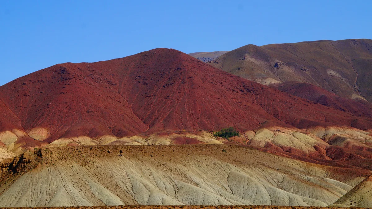
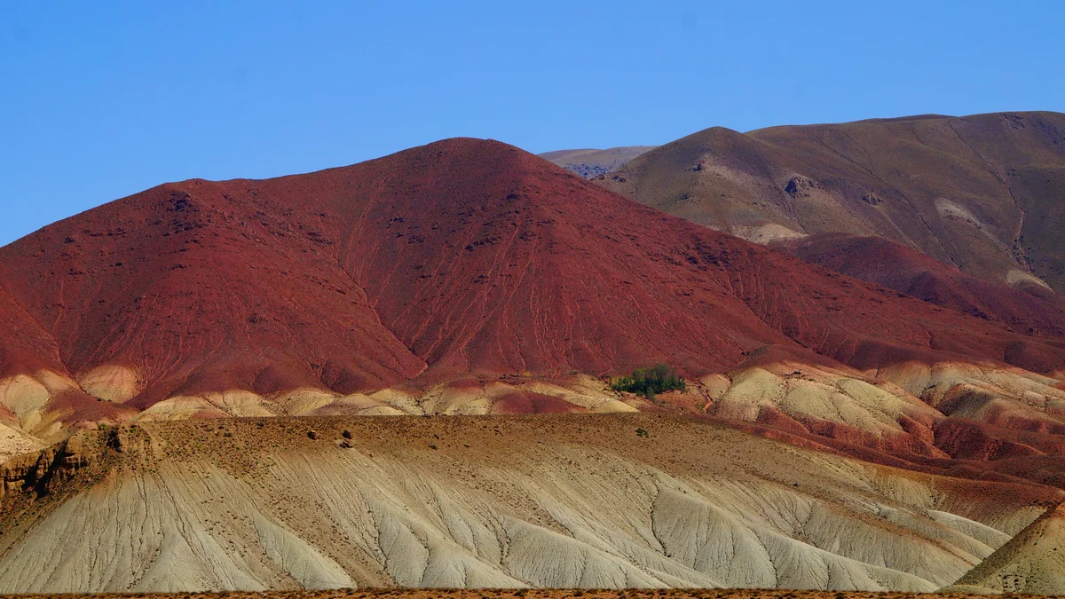
The Quebrada de Humahuaca is a UNESCO World Heritage canyon in Jujuy province near Salta, known for its striated, multicolored mountainsides and historic Andean villages.
Visitor guide
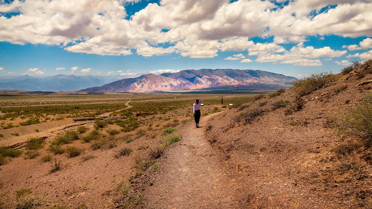
The Quebrada de Humahuaca is a UNESCO World Heritage valley in Jujuy Province, in northwest Argentina, reached by road from the Salta region to its south. It is a narrow, roughly 155 km long valley with striped, multicoloured mountainsides and villages that preserve Andean traditions.
UNESCO listed the valley on 2 July 2003 under cultural criteria (ii), (iv) and (v), and Wikipedia notes that it had been designated a protected landscape three years earlier. The protected area covers about 172,000 hectares with a buffer zone of about 370,000 hectares. The valley has been an important route for around 10,000 years. Hunter-gatherers were followed by farming peoples who built stone terraces, still in use today and thought to be more than 1,500 years old, and fortified towns called pucaras. In the 15th century the Incas used it as a caravan road, and under the Spanish it linked the Viceroyalty of the Río de la Plata with the Viceroyalty of Peru. It was also the scene of several battles of the Spanish War of Independence.
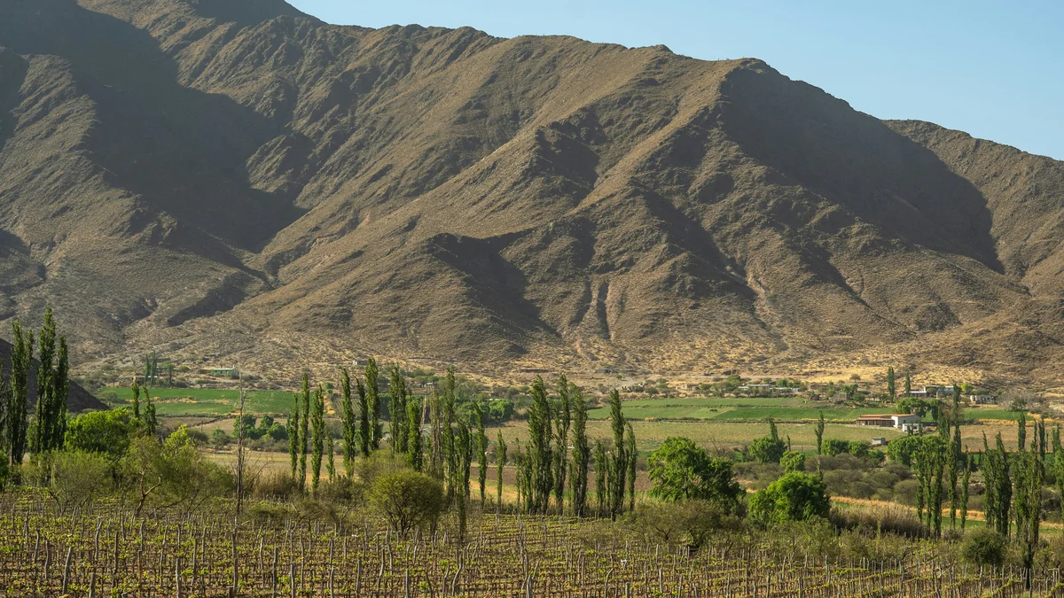
The valley is bordered by the Altiplano to the west and north and by Sub-Andean hills to the east, and it rises from about 1,600 m to roughly 4,500 m. The Río Grande, which runs through it, is dry in winter and flows copiously in summer. Spanish Wikipedia describes steppe vegetation with shrubs, grassland and scattered stands of churqui and queñoa, with cardón cacti and molle trees. Wildlife includes the protected vicuña, llamas, the taruca deer and, at the Laguna de los Pozuelos, three flamingo species.
The valley's colourful slopes result from layers of different sediments, and nowhere is this clearer than the Cerro de los Siete Colores beside Purmamarca. Wikipedia attributes the hill's colours to a complex geological history of marine sediments and lake and river deposits lifted by tectonic movement, and notes that fossils have been found there. A roughly 4 km route called the Paseo de los Colorados starts in the village. Further north, the Serranía de Hornocal, about 25 km from Humahuaca, rises to roughly 4,761 m and exposes banded Yacoraite limestone.
Purmamarca, a village of fewer than a thousand people at about 2,300 m, has an adobe church of Santa Rosa de Lima dating from 1648, declared a national historic monument in 1941, and a handicraft market on its main plaza. Tilcara, about 84 km from the provincial capital, San Salvador de Jujuy, sits near the Pucará de Tilcara, a fortified settlement on a hill that Spanish Wikipedia dates to roughly a thousand years ago and links to the Tilcara people, a subgroup of the Omaguaca. It was partly reconstructed in the 20th century, beginning with the work of Salvador Debenedetti and completed in 1948 by Eduardo Casanova, and a site museum opened in 1968. Wikipedia calls it the only publicly accessible archaeological site in the Quebrada.
Humahuaca, the valley's namesake town with about 10,000 inhabitants, was founded in 1594 according to Spanish Wikipedia. It is known for its town hall clock tower, where a figure of Saint Francisco Solano appears at noon, and for a carnival described as one of the best known in Argentina, with comparsas, food, music and tributes to the Pachamama, or Mother Earth. The name Humahuaca is most often linked to the Omaguaca people.
The valley lies in Jujuy rather than Salta, so most visitors travel north through the mountains and treat it as a long scenic outing or an overnight stay. The climate is cool and arid with strong sun and very cold mornings, and the altitude can be noticeable, so layers, sun protection and water are useful. A private guided visit with a driver suits the route, as it allows stops in several villages along the road at a flexible pace.
See every tour and attraction we cover in Salta.