TorontoOntario · 36 tours
 Niagara FallsOntario · 25 tours
 New York CityNew York · 30 tours
 Las VegasNevada · 8 tours
 San FranciscoCalifornia · 16 tours
 VancouverBritish Columbia · 17 tours
 DubaiUAE · 54 tours
 Abu DhabiUAE · 5 tours
 Buenos AiresArgentina · 23 tours
 AthensGreece · 31 tours
 AucklandNew Zealand · 38 tours
 CancunMexico · 54 tours
No destinations match “”. Try searching all tours instead — that search understands full questions, not just place names.
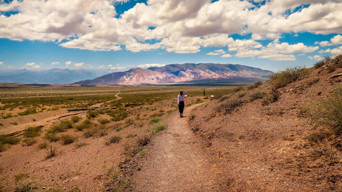
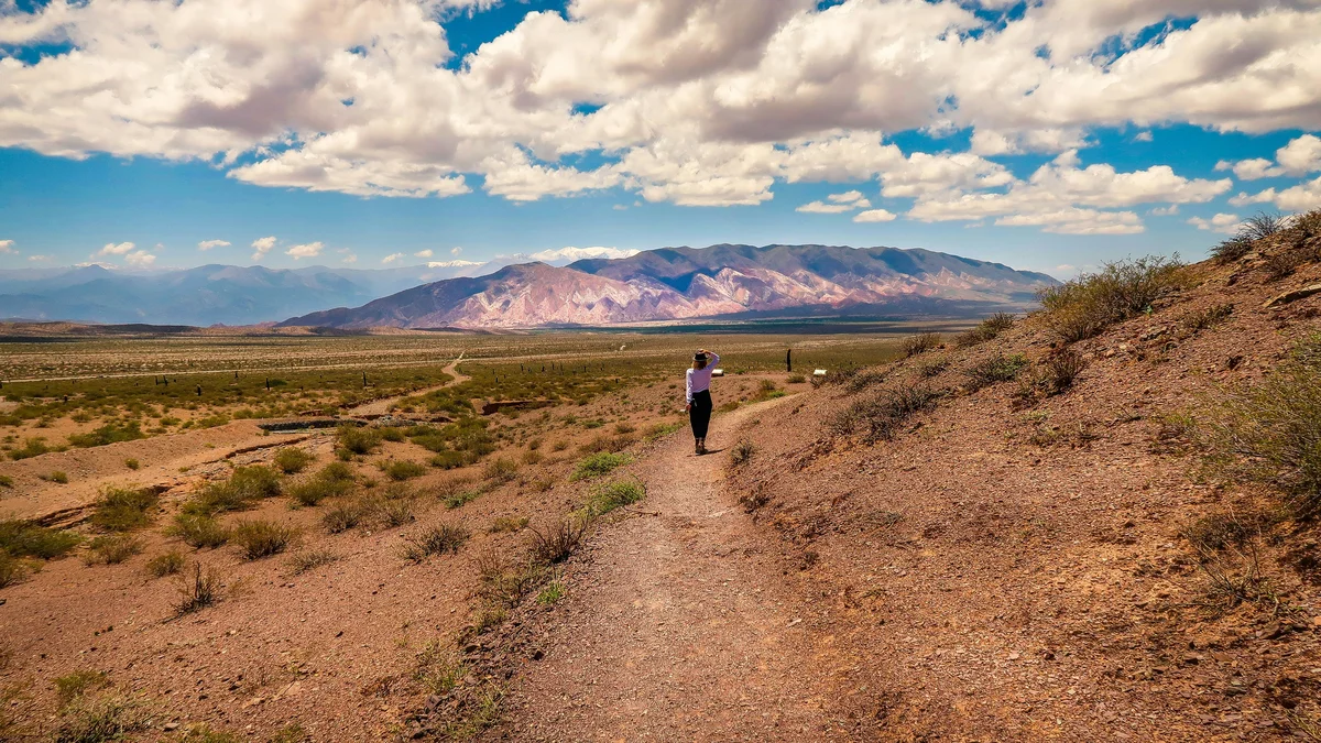
Los Cardones National Park protects a high-altitude landscape of towering native cardón cacti along the dramatic Cuesta del Obispo mountain pass between Salta and Cachi.
Visitor guide
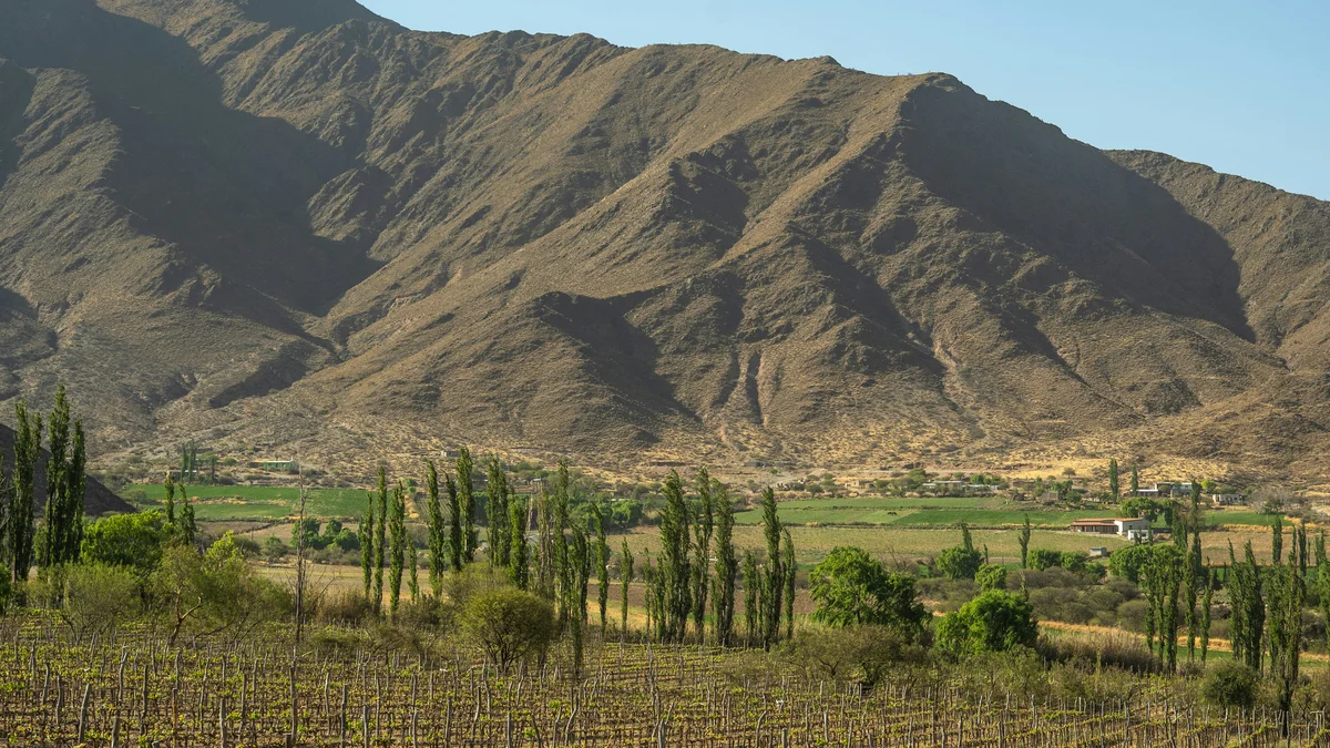
Los Cardones National Park is a protected area in the centre-west of Salta Province, Argentina, covering high, dry hills and ravines in the Calchaquí region. It is named for its dense stands of tall cardón cactus and is crossed by a long straight stretch of Provincial Route 33.
Wikipedia gives the park's area as about 650 square kilometres, while Spanish Wikipedia gives 64,117 hectares, which is roughly 641 square kilometres. Altitudes range from about 2,600 to 2,700 m up to about 5,000 m, and Spanish Wikipedia lists Cerro Negro at 5,226 m. According to the Spanish article, a 1986 agreement between Salta Province and the National Parks Administration started the project, a provincial law of 1995 ceded jurisdiction, and the park was created on 20 November 1996 under national law 24737, after the state acquired the land from private owners. Before creation about 116 people lived in the area, and by 2007 the figure was 98 people in 25 families. The park lies in the San Carlos and Cachi departments.
The prevailing vegetation is prepuna, dominated by cardones, the local name for the large columnar cactus that gives the park its name. English Wikipedia identifies it as Echinopsis terscheckii, while the Spanish article gives other names, so the species label varies by source. Higher areas have stands of churqui (Prosopis ferox), and a diversity of smaller cacti is also noted. The park protects part of the High Monte ecoregion, and its zoning touches the Monte de Sierras y Bolsones, Yungas forest, Puna and High Andean ecoregions.
Guanacos are frequently seen, along with viscachas and hairy armadillos, and rare or threatened species include the Andean cat and the culpeo and grey foxes. The park is an important bird conservation area in Argentina. Spanish Wikipedia reports dinosaur footprints about 70 million years old, which scientists study, and rock paintings. The area was important to pre-Hispanic peoples, whose herders found water and pasture there.
The park has an arid climate with a large difference between day and night temperatures. Average rainfall is about 150 mm, mostly between November and March, and snow is extremely rare at lower elevations. Mean temperatures range from about 11 degrees Celsius in winter to 18 in summer.
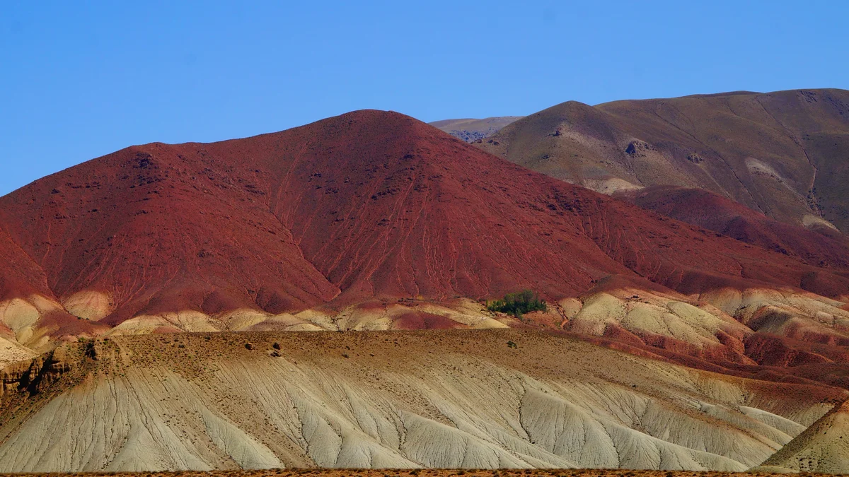
Provincial Route 33 crosses the park for 38 km of asphalt, according to Spanish Wikipedia, forming a perfectly straight stretch called the Recta del Tin Tin. The Cuesta del Obispo article gives a different length of about 19 km for the straight section, which it attributes to Indigenous sighting lines of the Inca period, so figures differ between sources. The road links the Lerma Valley with the Calchaquí Valleys. Before the park, the road climbs the zigzagging Cuesta del Obispo, about 20 km long and some 57 km from Salta city, rising from about 1,270 m near Chicoana to roughly 3,340 m at the Piedra del Molino viewpoint. Spanish Wikipedia says the name recalls Bishop Julián de Cortázar, who spent an uncomfortable night on the slope in 1622, and that the Piedra del Molino is a granite grinding stone left there when a cart carrying it to Salta broke down, according to local accounts. At the foot of the climb lies the Valle Encantado, with multicoloured hills and rock paintings.
Spanish Wikipedia notes that the park has little tourist infrastructure, and visits are mostly along the road and its viewpoints and several marked trails, among them Ojo de Cóndor, Secreto del Cardonal and Huellas de Dinosaurios. The sun is strong and the altitude is high, so water and sun protection are advisable. A private guided visit from Salta suits the route, allowing time to stop for the cactus-filled landscape.
See every tour and attraction we cover in Salta.