TorontoOntario · 36 tours
 Niagara FallsOntario · 25 tours
 New York CityNew York · 30 tours
 Las VegasNevada · 8 tours
 San FranciscoCalifornia · 16 tours
 VancouverBritish Columbia · 17 tours
 DubaiUAE · 54 tours
 Abu DhabiUAE · 5 tours
 Buenos AiresArgentina · 23 tours
 AthensGreece · 31 tours
 AucklandNew Zealand · 38 tours
 CancunMexico · 54 tours
No destinations match “”. Try searching all tours instead — that search understands full questions, not just place names.
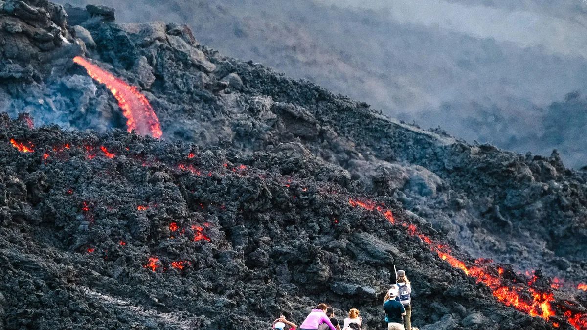
One of Guatemala's most active volcanoes and a popular day hike from Antigua, rising to roughly 2,500 meters. A trail crosses recent lava fields near the summit, with the chance, though never a guarantee, of seeing volcanic activity depending on conditions.
 Private Tours
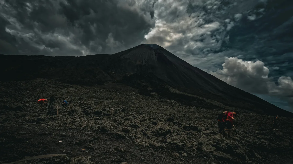
Skip the shared shuttle: a private vehicle and private guide take you to Pacaya Volcano, one of Guatemala's most active, for a moderate hike across volcanic terrain.
 Private Tours
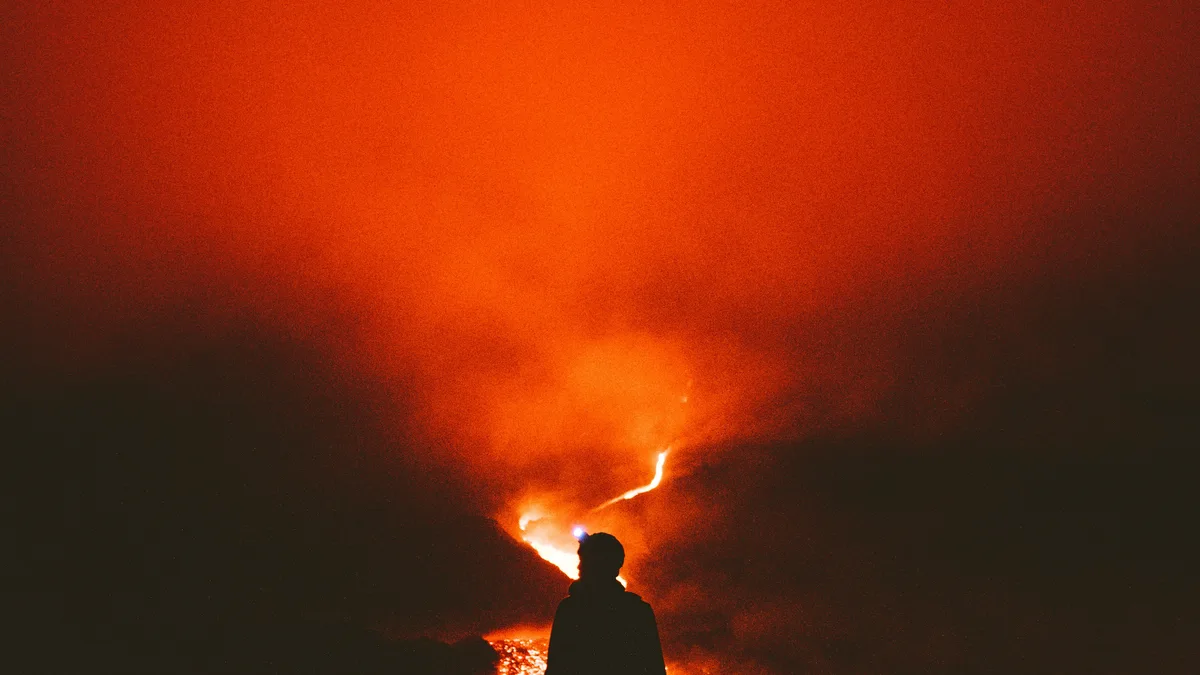
This private tour combines the Pacaya Volcano hike with a genuinely unusual activity: baking your own pizza in an oven heated by the volcano's own warmth.
 Private Tours
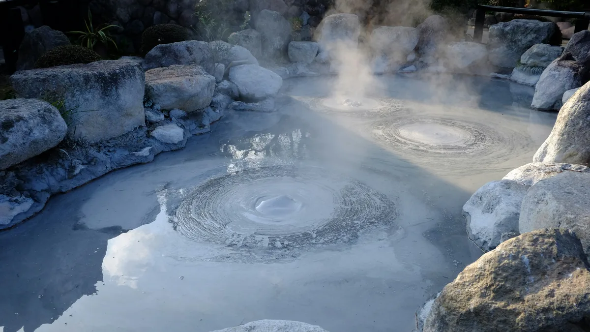
This private tour pairs the Pacaya Volcano hike with a soak at the Santa Teresita thermal spa, letting you ascend at your own pace with your private guide before relaxing in warm mineral waters.
Visitor guide
Pacaya is an active complex volcano in the Escuintla Department of Guatemala, roughly 30 kilometres southwest of Guatemala City and within reach of Antigua. Its summit is at 2,552 metres above sea level, and it is protected within Pacaya National Park.
Pacaya is part of the Central American Volcanic Arc, which forms where the Cocos Plate sinks beneath the Caribbean Plate. According to Wikipedia, it sits on the southern edge of a Pleistocene caldera that contains Lake Amatitlan. That caldera produced at least nine very large explosions over about 300,000 years and erupted around 70 cubic kilometres of magma. Pacaya is the largest post-caldera volcano and produces basalt and basaltic andesite.
About 1,100 years ago the edifice collapsed in a landslide whose deposits reached the Pacific coastal plain roughly 25 kilometres away, and the current cone grew inside the resulting crater. A shallow magma chamber means that cone instability and further landslides remain a hazard.
The volcano first erupted about 23,000 years ago and has erupted at least 23 times since the Spanish conquest. After more than 70 years of dormancy, it began a period of vigorous eruptions in 1961. Activity is mostly Strombolian, with small explosions that throw glowing material above the vent, and occasional larger events. In 1998 explosive eruptions produced ash columns that affected Guatemala City and its international airport, and lava flows were seen in 2006. In May 2010 a strong eruption sent ash up to about 1,500 metres and the national disaster agency issued a red alert; the same period brought heavy rain from Tropical Storm Agatha that worsened the emergency.
Activity levels change over time, and the national volcanology institute INSIVUMEH monitors the volcano. Access to the upper slopes depends on current conditions, which is why visitors rely on local guides and are guided by official alerts.
Pacaya is easily reached from both Guatemala City and Antigua and is among the best-known volcano hikes in the country. Guided groups walk up through forest and then across black lava fields created by recent flows, where the ground can still be warm in places. The 2010 lava field is also used as a route by the Guatemala Impact Marathon, which supports local communities. Volcano boarding, sliding down the ash slopes on a board, is another activity practised on the volcano. Because Pacaya's activity varies, whether visitors see glowing lava, steam or only a quiet cone cannot be promised in advance.
The national park was created to manage and protect tourism on the volcano, and local residents offer guiding services on the trails. A private tour from Antigua handles the road transfer to the trailhead, leaving visitors to concentrate on the walk. Sturdy shoes, layers and a rain jacket are sensible, as the weather at 2,500 metres can change quickly.
See every tour and attraction we cover in Antigua Guatemala.