TorontoOntario · 36 tours
 Niagara FallsOntario · 25 tours
 New York CityNew York · 30 tours
 Las VegasNevada · 8 tours
 San FranciscoCalifornia · 16 tours
 VancouverBritish Columbia · 17 tours
 DubaiUAE · 54 tours
 Abu DhabiUAE · 5 tours
 Buenos AiresArgentina · 23 tours
 AthensGreece · 31 tours
 AucklandNew Zealand · 38 tours
 CancunMexico · 54 tours
No destinations match “”. Try searching all tours instead — that search understands full questions, not just place names.
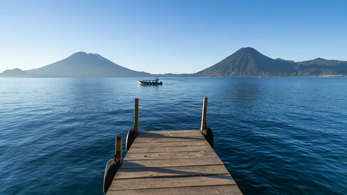
A volcanic crater lake roughly 2.5-3 hours from Antigua, ringed by three volcanoes and bordered by small Tzutuhil and Kaqchikel Mayan villages, several reachable only by boat, including San Juan La Laguna, San Pedro La Laguna, and Santiago Atitlán.
 Private Tours
This private day tour takes you from Antigua to Lake Atitlán to explore San Juan, San Pedro, and Santiago Atitlán, three distinct Mayan lakeside villages, with a private vehicle throughout.
 Private Tours
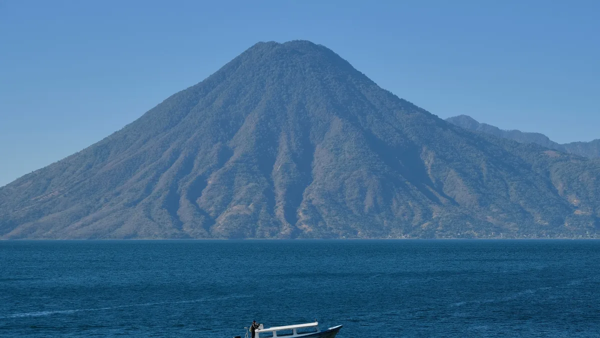
This private full-day tour combines a private boat crossing to San Juan La Laguna with visits to real local coffee, textile, and chocolate cooperatives, returning to Antigua through Panajachel.
 Private Tours
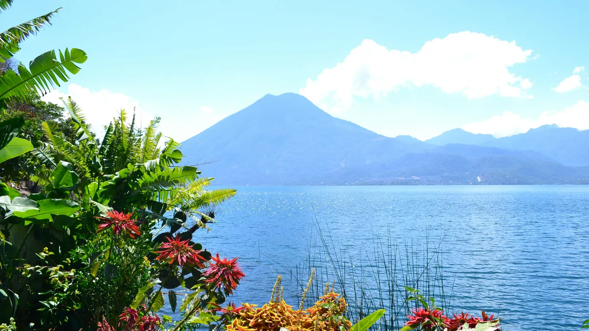
This private tour trades markets for nature, spending the day hiking and birding at Los Tarrales Natural Reserve with a local guide, followed by a stop in the Mayan village of San Lucas Tolimán.
Visitor guide
Lake Atitlan is a large volcanic crater lake in the Sololá Department of the Guatemalan Highlands, about 50 kilometres west-northwest of Antigua. Surrounded by steep slopes and three volcanoes, it is the deepest lake in Central America and is home to Tz'utujil and Kaqchikel Maya communities.
The lake fills a caldera formed by the Los Chocoyos eruption, which ejected up to 300 cubic kilometres of ash that has been detected from Florida to Ecuador. Wikipedia gives two dates for the caldera's formation, about 79,500 years ago in one section and about 1.8 million years ago for the most recent caldera cycle in another, while USGS-linked sources date the Los Chocoyos eruption to roughly 84,000 years ago, so the age is best treated as approximate. The lake covers about 130 square kilometres, with a surface elevation of 1,562 metres. Its average depth is about 154 metres and its maximum depth is estimated at about 340 metres. It has no outflow to the ocean.
Three volcanoes stand around the lake: Atitlan, on the southern rim, last erupted in 1853; San Pedro is the oldest of the three and appears to have stopped erupting about 40,000 years ago; and Toliman, which has not erupted in historical times. The name Atitlan comes from Nahuatl and is often translated as 'between the waters'.
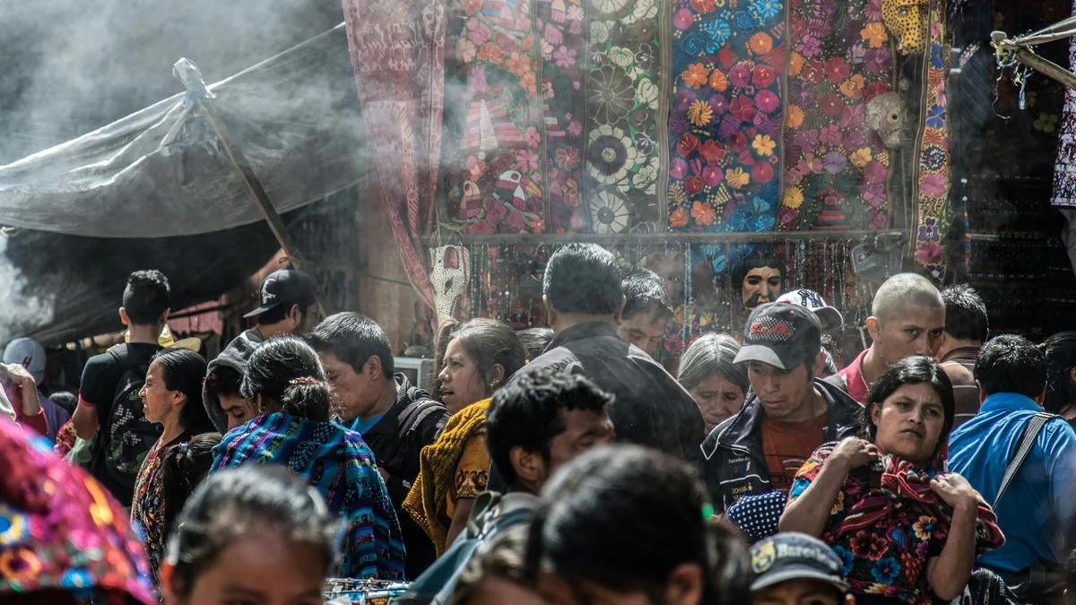
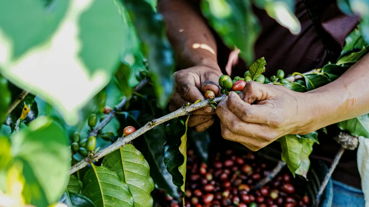
The communities around the lake are mainly Tz'utujil and Kaqchikel Maya, who maintain traditional dress, textiles and farming. Santiago Atitlan, the largest lakeside community, is known for the worship of Maximon, a syncretic figure that blends Mayan deities, Catholic saints and conquistador legends. Panajachel is the most tourism-oriented town and attracted hippies from the 1960s onward. No road circles the lake, and some villages, such as Jaibalito, can be reached only by boat. Coffee and avocado orchards cover much of the slopes, and onions, beans, corn and strawberries are also grown.
The chocoyo, a Pacific parakeet, often nests in the soft ash layers laid down by the Los Chocoyos eruption. A wind called the Xocomil blows in the late morning and afternoon and can raise rough water, so local boat operators plan around the weather. The Atitlan grebe, a rare bird found only near the lake, is now extinct, partly because non-native black bass were introduced in 1958 for sport fishing and reduced the native fish. The area became a national park in 1955. The lake has also faced cyanobacteria blooms since 2009, with a further bloom in 2015.
The lake level dropped about two metres within a month after the magnitude 7.5 earthquake of 1976 fractured the lake bed. Alexander von Humboldt is reported to have called it the most beautiful lake in the world, and Aldous Huxley compared it to Lake Como with volcanoes added.
The drive from Antigua to the lake side is commonly given as around two and a half to three hours, and visitors then travel between villages by public or private boat. A private driver covers the highland road, and a boat can then be arranged to reach villages such as San Juan La Laguna, San Pedro La Laguna or Santiago Atitlan, each with its own character.
See every tour and attraction we cover in Antigua Guatemala.