TorontoOntario · 36 tours
 Niagara FallsOntario · 25 tours
 New York CityNew York · 30 tours
 Las VegasNevada · 8 tours
 San FranciscoCalifornia · 16 tours
 VancouverBritish Columbia · 17 tours
 DubaiUAE · 54 tours
 Abu DhabiUAE · 5 tours
 Buenos AiresArgentina · 23 tours
 AthensGreece · 31 tours
 AucklandNew Zealand · 38 tours
 CancunMexico · 54 tours
No destinations match “”. Try searching all tours instead — that search understands full questions, not just place names.
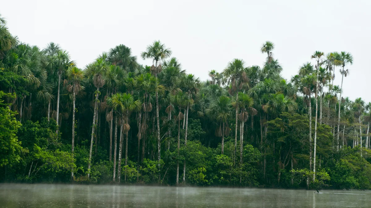
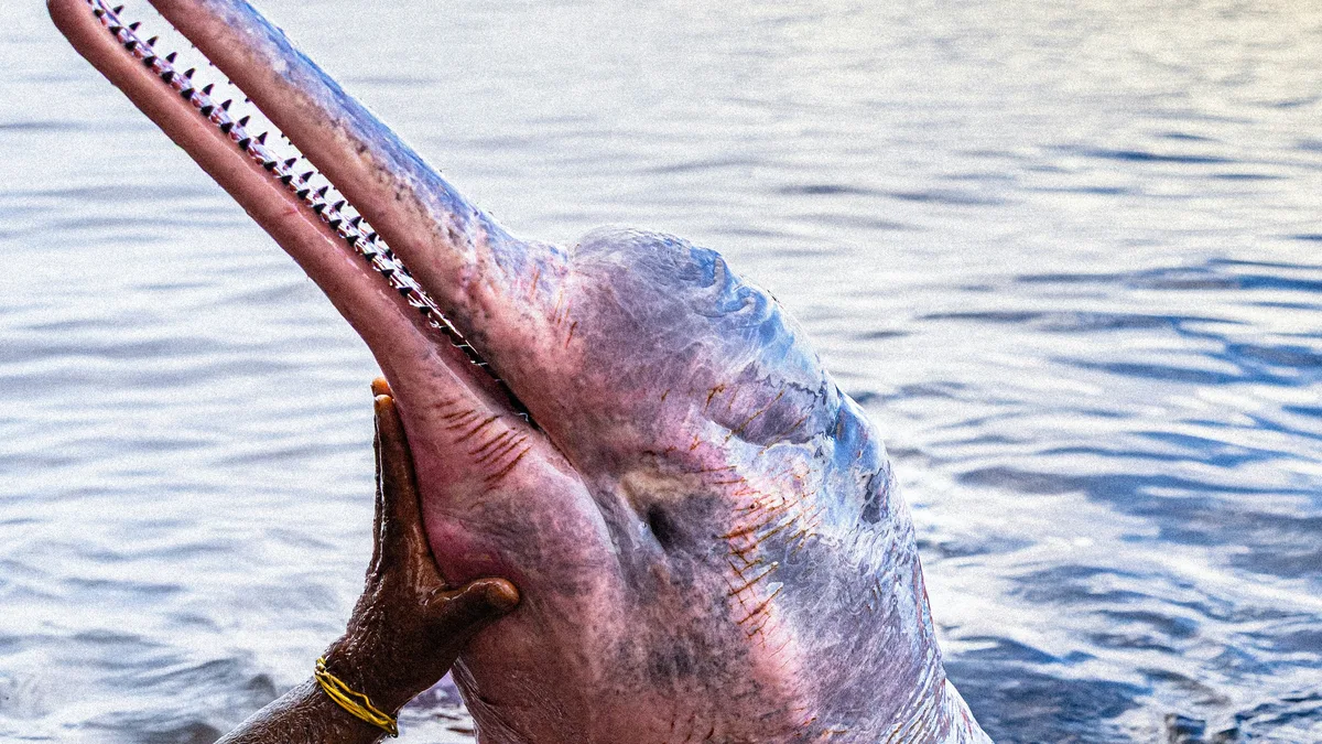
One of Peru's largest protected areas, spanning more than 2 million hectares of Amazon floodplain forest, home to pink river dolphins, giant river otters, and the massive paiche (arapaima), the largest freshwater fish in the Amazon.
 Private Tours
A private full-day excursion with private transportation to the geographic point where the Marañón and Ucayali Rivers meet to form the Amazon River itself, combined with wildlife watching for pink and gray dolphins and recreational piranha fishing inside Pacaya Samiria National Reserve.
 Active & Outdoor
A multi-day guided sport fishing expedition into the remote village of San Regis just outside Pacaya Samiria National Reserve, casting for peacock bass, piranha, arapaima and other prized Amazon species, with overnight camping under the stars between fishing days.
Visitor guide
The Pacaya-Samiria National Reserve is a protected area of seasonally flooded Amazon forest in the Loreto Region of northeastern Peru. Covering about 20,800 square kilometres, it is known for river wildlife including the Amazon river dolphin, manatee and giant otter, and it lies within reach of Iquitos by river and road to Nauta.
Spanish-language Wikipedia, citing the reserve's master plan, says the reserve was set up on lands that had earlier been declared reserved zones, chiefly to conserve the paiche, or arapaima, a giant freshwater fish. A 1940 resolution reserved a stretch of the Pacaya River for the fish, and later measures in 1944 extended the zone to the Pacaya and Samiria river systems. A decree of 1968 created a national reserve in the Pacaya basin to protect the paiche, the black caiman and the giant river otter, and the Samiria system was declared a reserved zone in 1972. The reserve was formally established on 4 February 1982, enlarging it to 2,080,000 hectares.
The reserve is classed as IUCN Category VI, a protected area with sustainable use of natural resources, and is a Ramsar wetland site, although the English and Spanish articles give different designation dates, so none is stated here. Spanish Wikipedia describes it as the most extensive protected floodplain, or varzea, area in South America and as the largest national reserve in Peru. Its boundaries are defined by the Maranon River to the north and the Ucayali to the south, the two rivers that join to form the Amazon. There are two main rivers, the Pacaya and the Samiria, and around 80 lakes. Extensive stands of aguaje palm grow in flooded areas, and cedar, mahogany, kapok and cacao are among the protected trees listed.
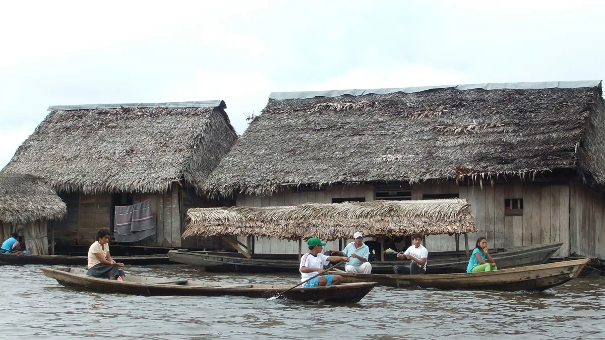
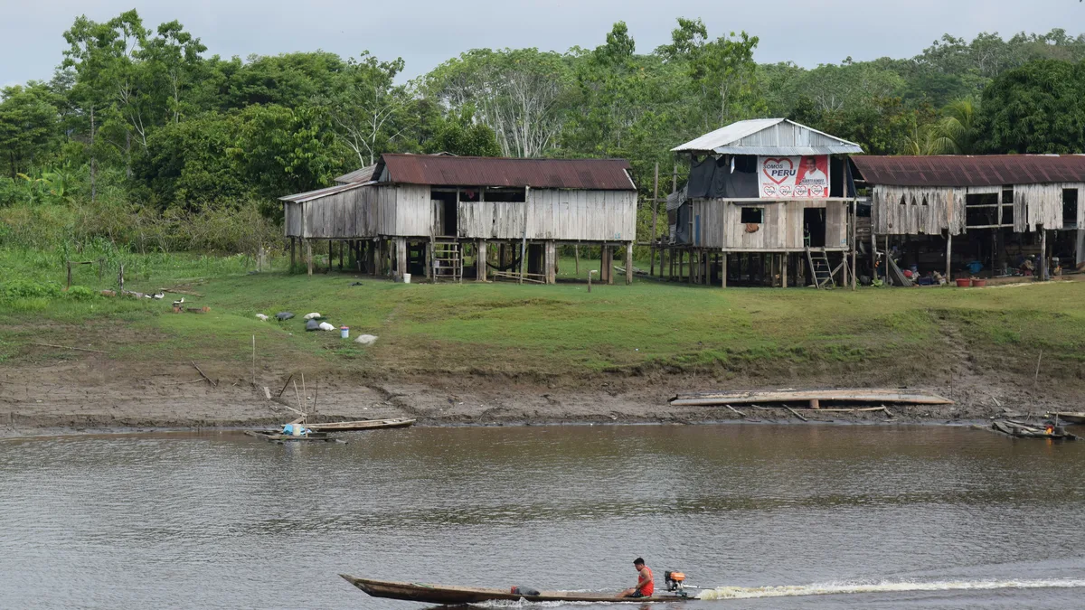
Native peoples still live in the reserve alongside more recent settlers. The Spanish article says about 40,000 people live inside the area in 234 settlements, including 56 native communities, mainly of Cocama-Cocamilla ancestry as well as mestizo residents, who live from the reserve's natural resources. Local communities have been involved in the managed harvest of paiche, arahuana, river turtles and palm products.
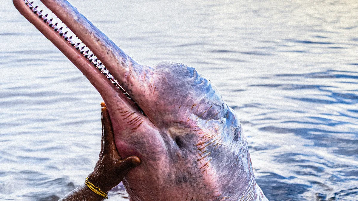
Mammals include the Amazon river dolphin, often called the pink river dolphin, the Amazonian manatee, the giant otter, jaguar, puma, South American tapir, capybara and red-faced spider monkey. Fish include the paiche, one of the largest freshwater fish, the tambaqui and the silver arowana. Birdlife includes the harpy eagle, scarlet and blue-and-yellow macaws, king vulture and horned screamer. Sightings depend on season and luck, and wildlife is wild, so no particular animal can be promised.
Annual mean temperatures of 20 to 33 degrees Celsius and annual precipitation of 2,000 to 3,000 millimetres are given. The Spanish article describes a dry season of low water from about May to October and a rainy season of high water from November to April, and, like English Wikipedia, advises visiting between May and January. Wikipedia lists authorised campsites, wilderness huts and ranger stations within the reserve. Travel is by river, so a private tour with a driver and guide helps with transfers to the departure point from Iquitos.
See every tour and attraction we cover in Iquitos.