TorontoOntario · 36 tours
 Niagara FallsOntario · 25 tours
 New York CityNew York · 30 tours
 Las VegasNevada · 8 tours
 San FranciscoCalifornia · 16 tours
 VancouverBritish Columbia · 17 tours
 DubaiUAE · 54 tours
 Abu DhabiUAE · 5 tours
 Buenos AiresArgentina · 23 tours
 AthensGreece · 31 tours
 AucklandNew Zealand · 38 tours
 CancunMexico · 54 tours
No destinations match “”. Try searching all tours instead — that search understands full questions, not just place names.
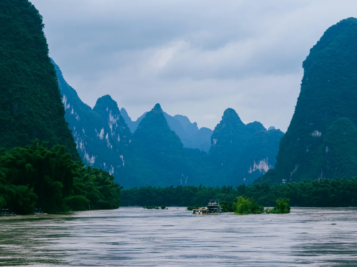
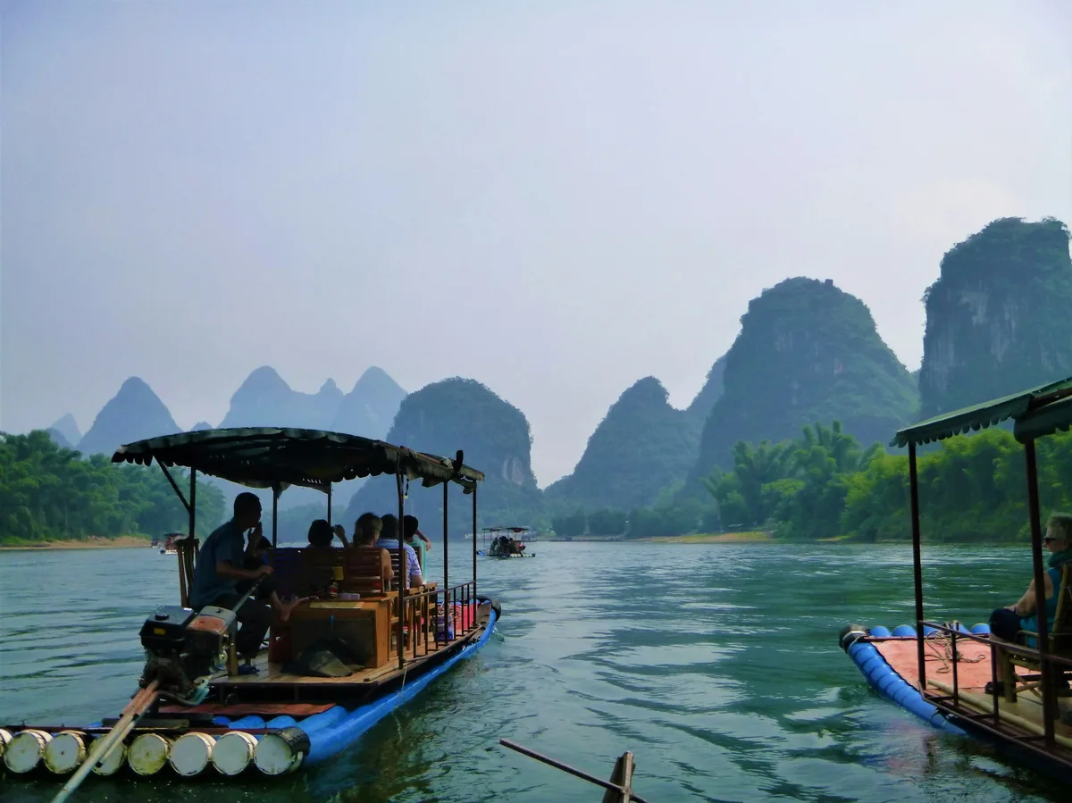
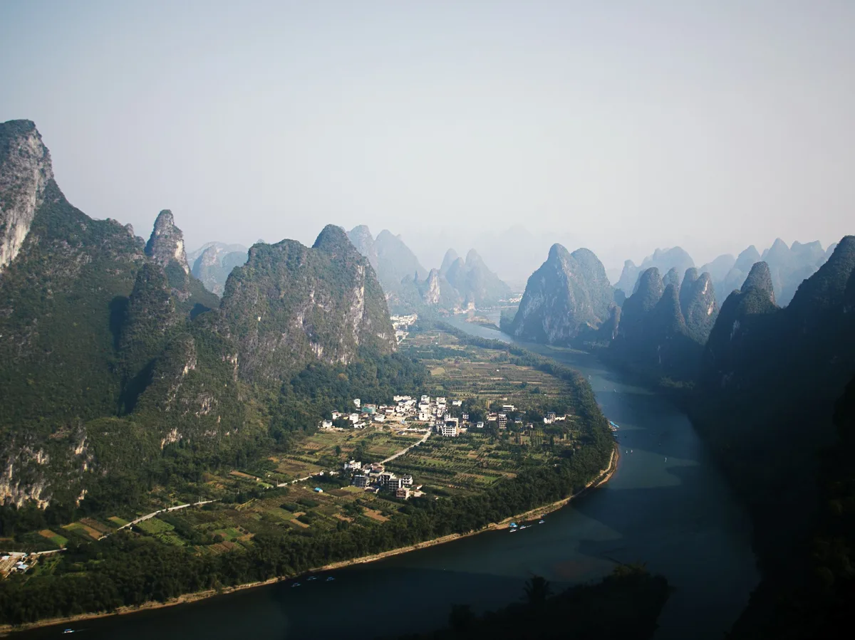
A dramatic stretch of limestone karst peaks rising from the Li River between Guilin and Yangshuo, long celebrated in Chinese art and poetry and best seen from a river cruise or riverside hike.
 Multi-Day Tours
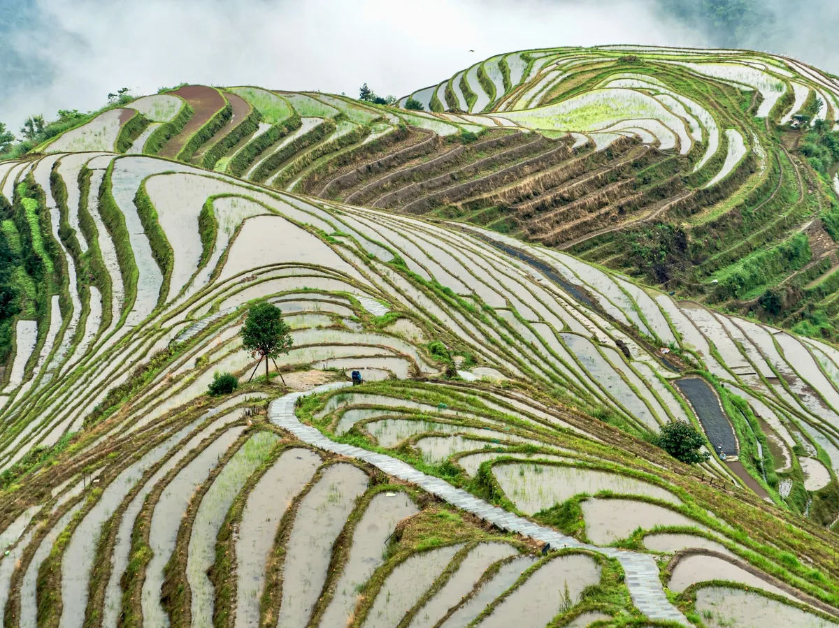
An 8-day hiking-focused tour around Guilin — Dong and Yao minority villages, the Longji rice terraces, and a Li River trek down to Yangshuo.
 Multi-Day Tours
A 9-day journey through Guizhou and Guangxi's ethnic villages — Miao, Dong and Shui communities — finishing with Guilin and Yangshuo's karst scenery.
 Multi-Day Tours
An active 14 days from Beijing's Jiankou Great Wall to Chengdu's pandas, Guizhou's Dong villages, the Longji terraces, and a Li River hike into Yangshuo, finishing in Shanghai.
Visitor guide
The Li River is the upper reach of the Gui River in northeastern Guangxi, China, flowing south through Guilin and Yangshuo past hundreds of limestone peaks. The landscape is among the best-known in China and appears on the fifth series of the 20 yuan banknote.
According to Wikipedia, the Li River runs 164 kilometres from Xing'an County to Pingle County. It rises in the Mao'er Mountains and flows generally south through Guilin and Yangshuo. At Pingle it joins other rivers to become the Gui, which flows into the Xijiang in the Pearl River system. The river drops from about 141 metres above sea level at Guilin to about 103 metres at Yangshuo. Its mean flow past Guilin is roughly 215 cubic metres per second.
The Guilin basin is underlain by up to 2,600 metres of Devonian and Carboniferous limestone. Over roughly 10 to 20 million years, two types of karst developed. Fengcong, or peak-cluster depression karst, dominates the river gorge and contains hundreds of caves, 23 of which have passages longer than a kilometre. Fenglin, or peak-forest plain karst, surrounds Yangshuo. Its tower karst has near-vertical sides, with towers 30 to 80 metres tall in the central basin and up to 300 metres near the Fengcong. Uplift linked to the Himalayan mountain-building zone, combined with slow erosion, drives its formation.
The river's setting is closely tied to the caves below the peaks. Wikipedia names the Guanyan Cave System, running from Caoping to Nanxu, as the longest of the caves in the gorge area. At Pingle the Li merges with the Lipu and Gongcheng rivers to form the Gui, and the combined course of the Li and Gui is about 439 kilometres, flanked for much of its length by green hills. Alluvial gravel covered by silty sand forms the floodplains and terraces along the river.
Guilin and its surroundings include several well-known sights. Reed Flute Cave is a limestone cave with stalactites, stalagmites and rock curtains, and Seven-Star Cave is another show cave in the area. Elephant Trunk Hill is regarded as a symbol of Guilin. Seven-Star Park is the largest park in Guilin, and the Mountain of Splendid Hues is known for layers of differently coloured rock.
Cormorant fishing is often associated with the Li River, and tourist boats cruise the river from Yangshuo County. The river's scenery is shown on the 20 yuan banknote, with the pictured view taken from the banks near Xingping Town. Wikipedia reports that river cruises draw millions of visitors each year.
The Lingqu Canal connects the upper Li with the Xiang River, which flows north to the Yangtze. Historically this made the Li and Gui part of a major waterway linking the Yangtze valley with the Pearl River delta. The canal was dug in 214 BC and is described as one of ancient China's three major water conservation projects.
Water levels and mist vary through the year, and the scenery changes with them. A private guided trip can combine a river cruise with a stop at Yangshuo or the countryside around Xingping, depending on your interests.
See every tour and attraction we cover in China.