TorontoOntario · 36 tours
 Niagara FallsOntario · 25 tours
 New York CityNew York · 30 tours
 Las VegasNevada · 8 tours
 San FranciscoCalifornia · 16 tours
 VancouverBritish Columbia · 17 tours
 DubaiUAE · 54 tours
 Abu DhabiUAE · 5 tours
 Buenos AiresArgentina · 23 tours
 AthensGreece · 31 tours
 AucklandNew Zealand · 38 tours
 CancunMexico · 54 tours
No destinations match “”. Try searching all tours instead — that search understands full questions, not just place names.
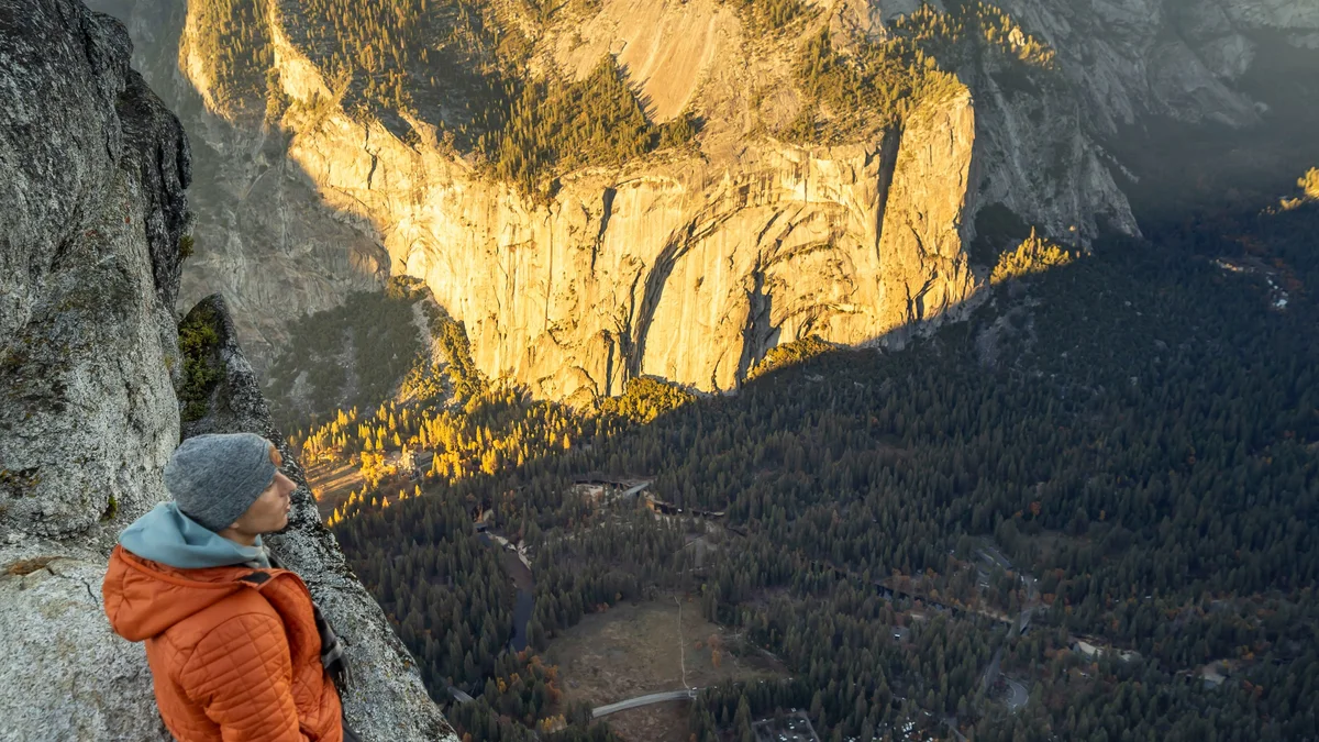
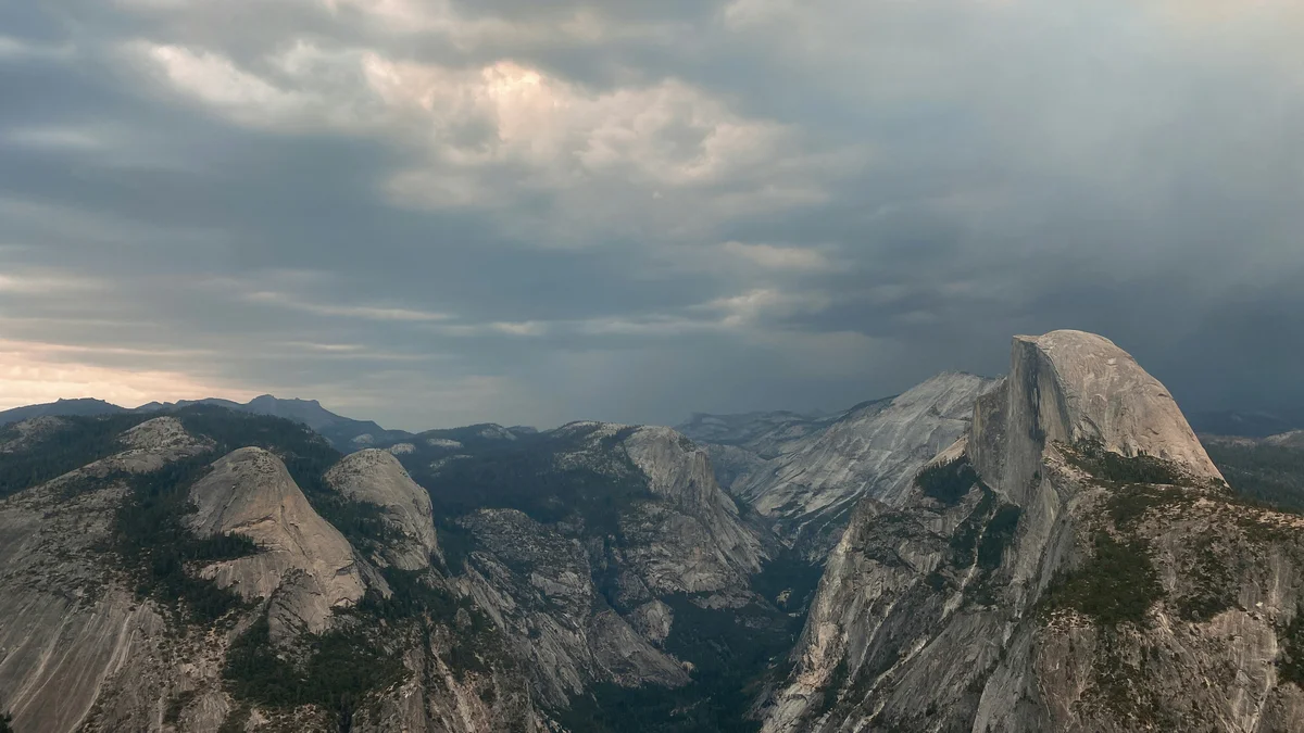
Glacier Point is an overlook roughly 3,200 feet above Yosemite Valley, reachable by car via Glacier Point Road (open seasonally, typically late spring through fall) or by a strenuous hiking trail from the valley floor. From the railing, visitors get a sweeping view that takes in Half Dome nearly at eye level, Yosemite Falls across the valley, Vernal and Nevada Falls, and the High Sierra peaks stretching toward the horizon. It's one of the most popular sunset spots in the park, since the point faces west across the valley toward the setting sun.
Visitor guide
Glacier Point is a viewpoint on the south wall of Yosemite Valley at an elevation of 7,214 feet, about 3,200 feet above Curry Village. It is one of the few places in Yosemite where you can drive to a view that takes in the valley floor, Half Dome, Yosemite Falls and the high country in one sweep. The seasonal road makes it a highlight of a summer or fall visit.
From the railed overlook you can see Yosemite Valley, Yosemite Falls, Half Dome, Vernal Fall, Nevada Fall and Clouds Rest. Reading the panorama from left to right takes in Tenaya Canyon, Half Dome, Liberty Cap, Little Yosemite Valley and the two stair-step falls. The Park Service also points to nearby Washburn Point, just south, which gives a more direct view of Vernal Fall, Nevada Fall and Illilouette Fall. Geologists note glacial boulders on the slopes, mostly Half Dome-type granite, evidence that ice once filled the valley.
The Four Mile Trail, the first formal trail to the point, was completed in 1872. In 1882 the Yosemite Stage and Turnpike Company received permission to build a longer, gentler stage road for horse-drawn vehicles, and by the early 1900s it had been improved for automobiles. Washburn Point is named for the Washburn brothers, early Yosemite concessioners whose interests funded the original road. The federal government took control of the road in 1917, the year the Glacier Point Hotel opened. The Yosemite Firefall, in which embers were pushed off the point each evening, took place between 1872 and 1968.
In 1903, President Theodore Roosevelt camped at Glacier Point with John Muir during a famed trip through the park. The Park Service notes that Buffalo Soldiers cleared the Four Mile Trail for Roosevelt and that the two men used the plan to slip away from their escorts. The overhanging rock at the edge, popularly called Overhanging Rock, was reportedly used as a lookout and called Patill-ima by Native people, though the meaning of that name is unknown.
Glacier Point Road branches off Wawona Road at Chinquapin, about 13 miles in, and the drive takes roughly an hour from Wawona or Yosemite Valley. The Park Service says it is typically open to cars from around late May to October or November, depending on conditions, while other references give June through October. The road is closed in winter; when Badger Pass Ski Area is operating, the road beyond it is groomed for cross-country skiers, who can cover the 10.5 miles to the point. Check the Park Service for current road status, as road work has closed it for a full season before.
The Four Mile Trail climbs 3,200 feet in about 4.8 miles from the valley floor (the Park Service notes it is now closer to five miles than four) and typically opens around May, then closes above its lower section by November or December when snow makes it treacherous. The Panorama Trail runs about 8.2 miles from the point down past Nevada and Vernal Falls to the valley. Sentinel Dome, nearby, is another popular short walk.
A private vehicle and driver suits Glacier Point well: the road is long and winding, parking can fill at peak hours, and your driver can wait while you linger for sunset light on Half Dome. Always confirm current road access with the Park Service before planning.
See every tour and attraction we cover in Yosemite National Park.