TorontoOntario · 36 tours
 Niagara FallsOntario · 25 tours
 New York CityNew York · 30 tours
 Las VegasNevada · 8 tours
 San FranciscoCalifornia · 16 tours
 VancouverBritish Columbia · 17 tours
 DubaiUAE · 54 tours
 Abu DhabiUAE · 5 tours
 Buenos AiresArgentina · 23 tours
 AthensGreece · 31 tours
 AucklandNew Zealand · 38 tours
 CancunMexico · 54 tours
No destinations match “”. Try searching all tours instead — that search understands full questions, not just place names.
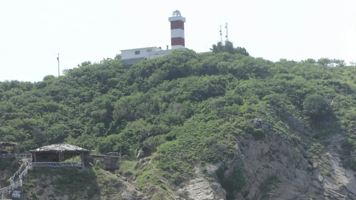
One of the highest natural-point lighthouses in the world, standing atop Cerro del Crestón at 523 feet (159 meters) above the tide, reached via a steep trail of more than 300 steps leading to panoramic views over Mazatlán's harbor and the Pacific.
 Private Tours
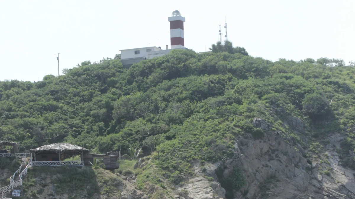
A panoramic private tour exclusively for your own group of up to 6 guests, aboard an open-air red truck with large viewing windows, covering the natural Lighthouse (El Faro), the Cliff Divers, the Mazatlán sign, the Cathedral Basilica, and historic Plazuela Machado.
 Private Tours
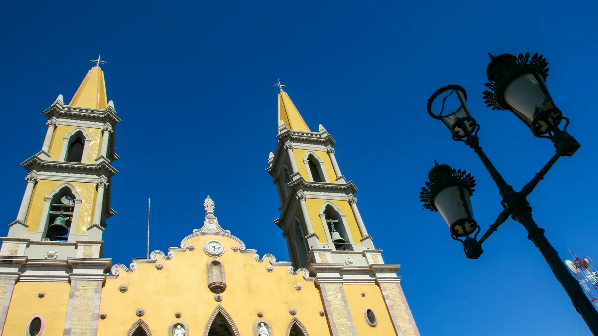
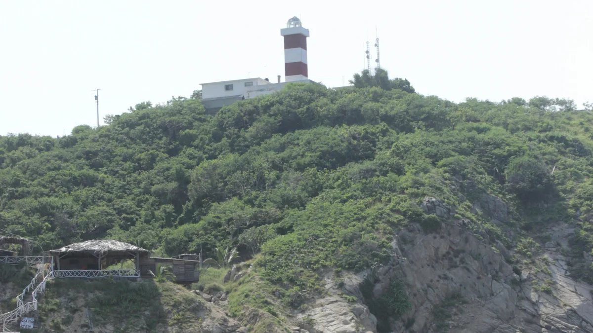
A comprehensive private shore excursion covering El Faro, one of the highest natural lighthouses in the world, panoramic views from Cerro del Vigía, a guided stroll through Centro Histórico and Mercado Pino Suárez, the gold-leaf Catedral Basílica de la Inmaculada Concepción, and the Zona Dorada.
Visitor guide
El Faro, the Mazatlan Lighthouse, stands on the peak of Cerro del Creston at the southern end of Mazatlan in Sinaloa, Mexico. It is a working lighthouse on a hill that rises directly from the sea and is celebrated for its height and for the views from its summit.
Cerro del Creston was once an island and is now joined to the mainland at the southern end of the city. Wikipedia gives the elevation as 157 metres, while tourism sources commonly give 159 metres above the tide, so the exact figure depends on the source. Wikipedia describes the lighthouse as the highest natural lighthouse in the Americas, and many travel sources call it one of the highest natural-point lighthouses in the world; both are claims best read as reputation rather than an audited record. The hill measures roughly 641 metres by 321 metres, with steep, rocky slopes.
According to Wikipedia, the first marine signal on the island was a set of fires in 1828, fuelled by whale oil and wood, that gave only a dim light. The lighthouse proper first lit the Pacific in 1879 according to Wikipedia (the municipal tourism portal dates the present building to 1892), with a lamp built in Paris, combining an oil lamp, mirrors and a Fresnel lens. Later changes included a revolving mechanism, reported as dating from 1905, and electrification in 1933. Wikipedia notes its sources describe the 1905 change inconsistently. Today the light uses a 1,000-watt bulb that Wikipedia says can be seen up to 30 nautical miles away.
The light guided ships into a port with a long history. Wikipedia says the Spanish settled the area on 14 May 1531 and that an 1821 decree recognised Mazatlan as the first port on Mexico's Pacific coast, with more than 60 ships a year reportedly calling. By 1836 it had 4,000 to 5,000 residents. United States forces occupied the city in 1846, and in November 1864 French navy ships fired a salvo into the city before it was handed over to the French. Republican forces under Ramon Corona expelled them in 1866.
The name comes from Nahuatl and means place of deer. Wikipedia explains that the original Presidio of Mazatlan became Villa de la Union in 1828, freeing the name, which was then adopted by the port, previously called the Islands of Mazatlan.
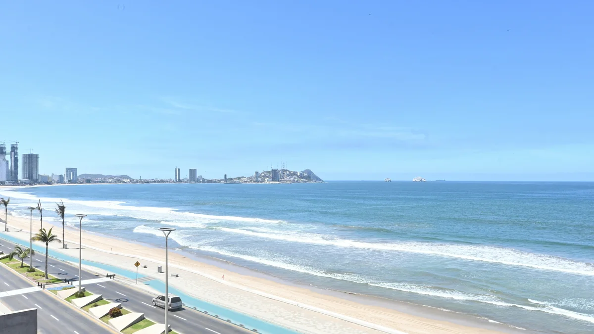
Visitors can hike up to the lighthouse on a trail that climbs the hill from the south end of the Malecon. The path is steep and exposed, and most travellers go slowly and carry water. From the top the view takes in the harbour, the open Pacific, offshore islands and the sweep of the city's coast. Wikipedia says the Malecon, a boardwalk about 8.5 kilometres long, begins at the road that connects the lighthouse hill with the rest of the city. Its oldest section, Paseo Olas Altas, began as a flood dike in the 1830s.
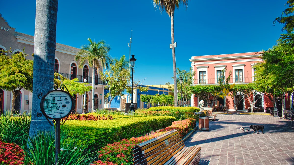
The Historic Center, a short distance away, was named a Heritage of the Nation on 12 March 2001, according to Wikipedia, and includes the Cathedral and the Angela Peralta Theater.
The climb suits those comfortable with steep walking, and early morning or late afternoon is typically more comfortable. A private guided visit can combine the summit with the seafront and the historic centre, with a driver waiting at the base.
See every tour and attraction we cover in Mazatlan.