TorontoOntario · 36 tours
 Niagara FallsOntario · 25 tours
 New York CityNew York · 30 tours
 Las VegasNevada · 8 tours
 San FranciscoCalifornia · 16 tours
 VancouverBritish Columbia · 17 tours
 DubaiUAE · 54 tours
 Abu DhabiUAE · 5 tours
 Buenos AiresArgentina · 23 tours
 AthensGreece · 31 tours
 AucklandNew Zealand · 38 tours
 CancunMexico · 54 tours
No destinations match “”. Try searching all tours instead — that search understands full questions, not just place names.
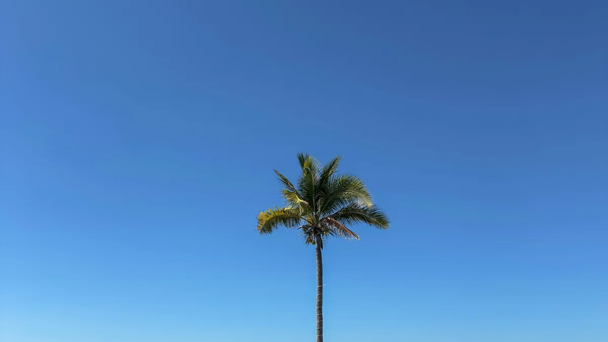
Despite its name, a peninsula rather than a true island, reached by a short water-taxi ride from Mazatlán's harbor, with palm-lined beaches, coconut groves, and open-air seafood restaurants offering a genuinely quieter alternative to the Golden Zone.
Visitor guide
Stone Island, known in Spanish as Isla de la Piedra, is a long sandy peninsula south of Mazatlan in Sinaloa, Mexico. Despite its name it is not a true island, and it is known for its beaches, coconut groves and informal seafood restaurants.
Wikipedia says Stone Island covers about 30 square kilometers and is connected to the mainland near Mazatlan International Airport; it also gives dimensions of roughly 14.5 miles long and 2.5 miles wide, which do not match that area, so the figures are best treated with caution. Local accounts date the community's official founding to 1936, though some give 1926, and say the land grew as dredged channel material joined small islands to the peninsula. Its main livelihoods are fishing and transport, and many residents work in the small restaurants and services that cater to visitors from the city.
Because it is separated from the city's harbor by water, the usual way to reach it is a short ferry or water-taxi ride from the Mazatlan side. Wikipedia lists access by passenger ferry, water taxi or the road from near the airport.
The seaward side of the peninsula faces the open Pacific and has long stretches of sand, with the pace of life considerably slower than in Mazatlan's hotel district. Wikipedia describes the area as home to what it calls Mexico's third-largest coconut grove, a claim given without a source, so it is best read as local reputation. The palms shade much of the inland area and give the peninsula a distinctly tropical look.
Wikipedia lists boat excursions, swimming, beach activities and horseback riding among the things done on the island. Many visitors simply spend an afternoon at a beachfront palapa-style restaurant, where seafood is the main fare. The relaxed setting is a contrast to the busier beach strips on the Mazatlan side of the water.
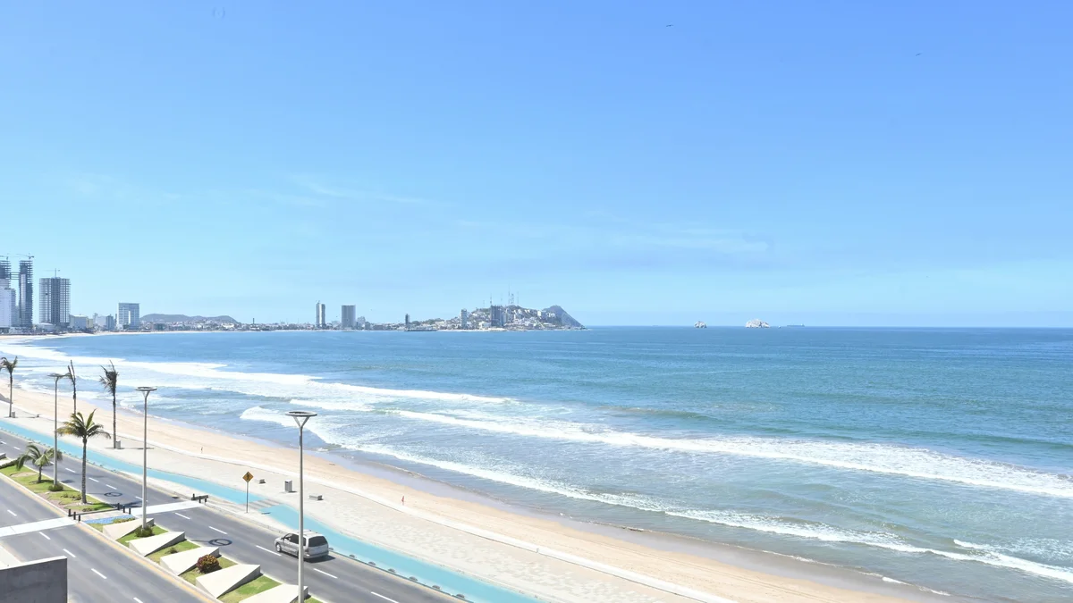
Mazatlan sits on Mexico's Pacific coast across from the southern tip of the Baja California peninsula, and its municipality has a coastline of about 80 kilometers. Wikipedia gives its climate as tropical savanna with an average annual temperature of 25 degrees Celsius, about 800 millimeters of rain a year falling mostly from July to September, and roughly 2,889 hours of sunshine. Huizache Lagoon covers about 4,000 hectares in the southwest, and outlying islands include Crestón Island, Bird Island and Deer Island.
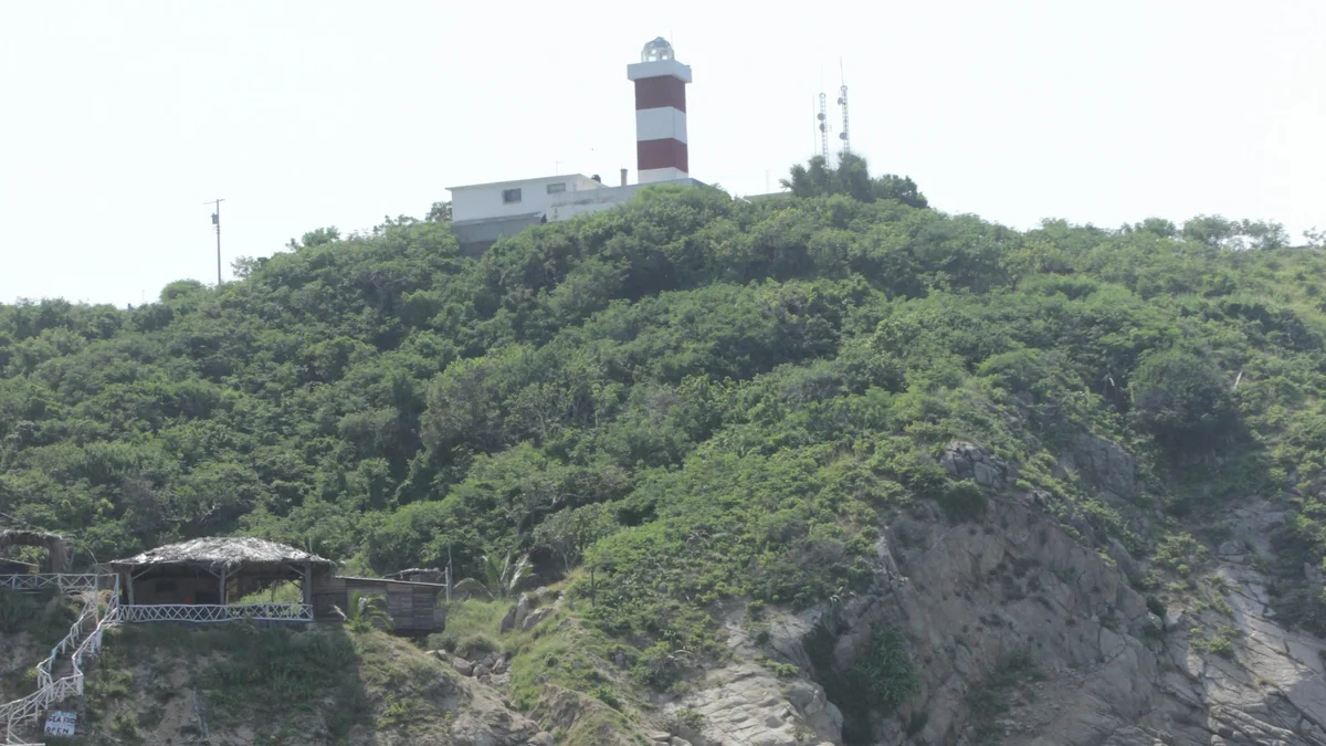
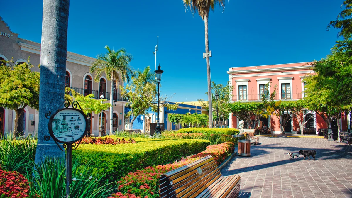
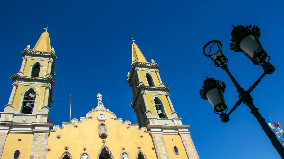
The Spanish colonized the area in 1531, and in 1821 the town was declared the first port on Mexico's Pacific coast, according to Wikipedia. The El Faro lighthouse, on Cerro del Crestón, began operating in 1879, and Wikipedia describes it as the highest natural lighthouse in the Americas. The city's historic center, with the cathedral, Plazuela Machado and the Angela Peralta Theater, was named a Heritage of the Nation in 2001, and the Malecon boardwalk runs about 8.5 kilometers along the coast. Mazatlan is also known for its Carnival, one of Mexico's major carnivals.
A visit usually involves a short crossing from the harbor side, a walk or transfer along the sandy lanes and time on the beach. Conditions can be hot, so shade, sun protection and water are useful. A private guided visit can arrange the crossing and onward travel without having to coordinate the ferry and transfers independently, and can combine the island with other Mazatlan sights.
See every tour and attraction we cover in Mazatlan.