TorontoOntario · 36 tours
 Niagara FallsOntario · 25 tours
 New York CityNew York · 30 tours
 Las VegasNevada · 8 tours
 San FranciscoCalifornia · 16 tours
 VancouverBritish Columbia · 17 tours
 DubaiUAE · 54 tours
 Abu DhabiUAE · 5 tours
 Buenos AiresArgentina · 23 tours
 AthensGreece · 31 tours
 AucklandNew Zealand · 38 tours
 CancunMexico · 54 tours
No destinations match “”. Try searching all tours instead — that search understands full questions, not just place names.
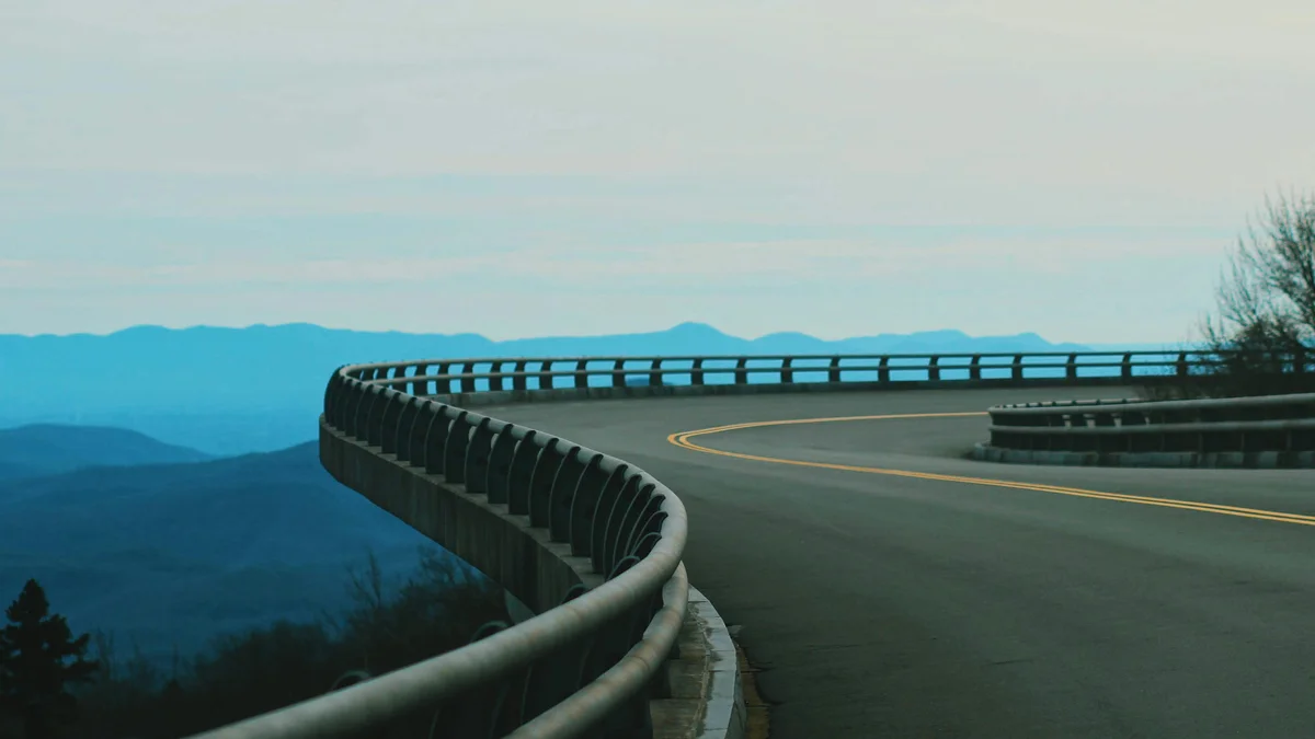
The Blue Ridge Parkway is a 469-mile scenic National Parkway that links Shenandoah National Park in Virginia to Great Smoky Mountains National Park in North Carolina, running along the crest of the Blue Ridge Mountains. Opened in stages beginning in 1936 and managed by the National Park Service, it is the longest linear park in the United States and passes directly through Asheville.
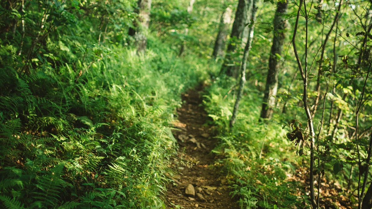 Private Tours
A private, full-day guided hike through Pisgah National Forest and along the Blue Ridge Parkway, tailored to your group and including a picnic lunch.
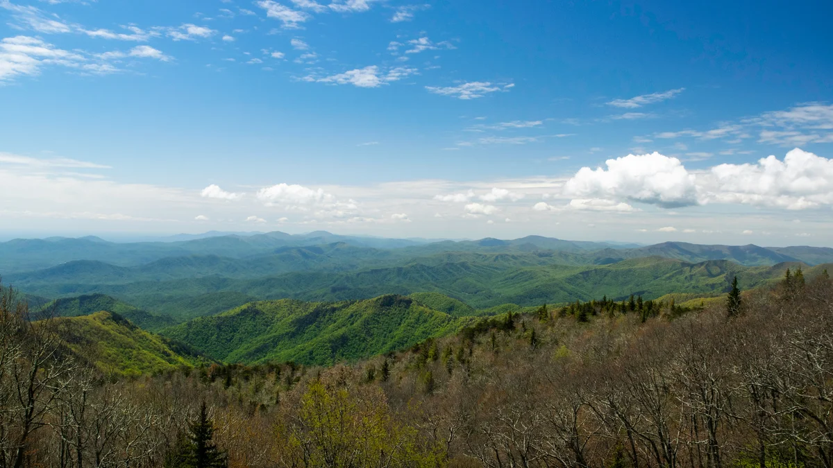 Private Tours
A private, professionally guided full-day tour along the Blue Ridge Parkway, stopping at real overlooks and waterfalls on the way toward Cherokee, North Carolina.
Visitor guide
The Blue Ridge Parkway is a 469-mile National Parkway managed by the National Park Service, running along the crest of the Blue Ridge Mountains through Virginia and North Carolina. It links Shenandoah National Park with Great Smoky Mountains National Park, and passes right by Asheville.
The NPS calls the Parkway the longest road in the United States planned as a single unit, and it began as a Depression-era public works project meant to boost travel and help the Appalachian region recover. It was first known as the Appalachian Scenic Highway. Construction started on September 11, 1935 near Cumberland Knob in North Carolina, and Congress formally authorized it on June 30, 1936, placing it under the NPS. Most of the road was done by the end of 1966, but the last section, which includes the Linn Cove Viaduct curving around Grandfather Mountain, did not open until 1987, more than 50 years after work began. A proposal to extend it toward Georgia was approved in 1967 but never built and was cancelled in 1985.
Mileposts count from the northern end at Rockfish Gap near Waynesboro, Virginia, at milepost 0, to US 441 at Oconaluftee near Cherokee, North Carolina, at milepost 469. Speed limits do not exceed 45 mph. Wikipedia counts 168 bridges and 26 tunnels (one in Virginia, 25 in North Carolina), the longest being Pine Mountain Tunnel at 1,434 feet. The highest point is Richland Balsam at milepost 431.4 and 6,053 feet. The NPS says the Parkway has about 300 miles of hiking trails and protects wildlife including black bears.
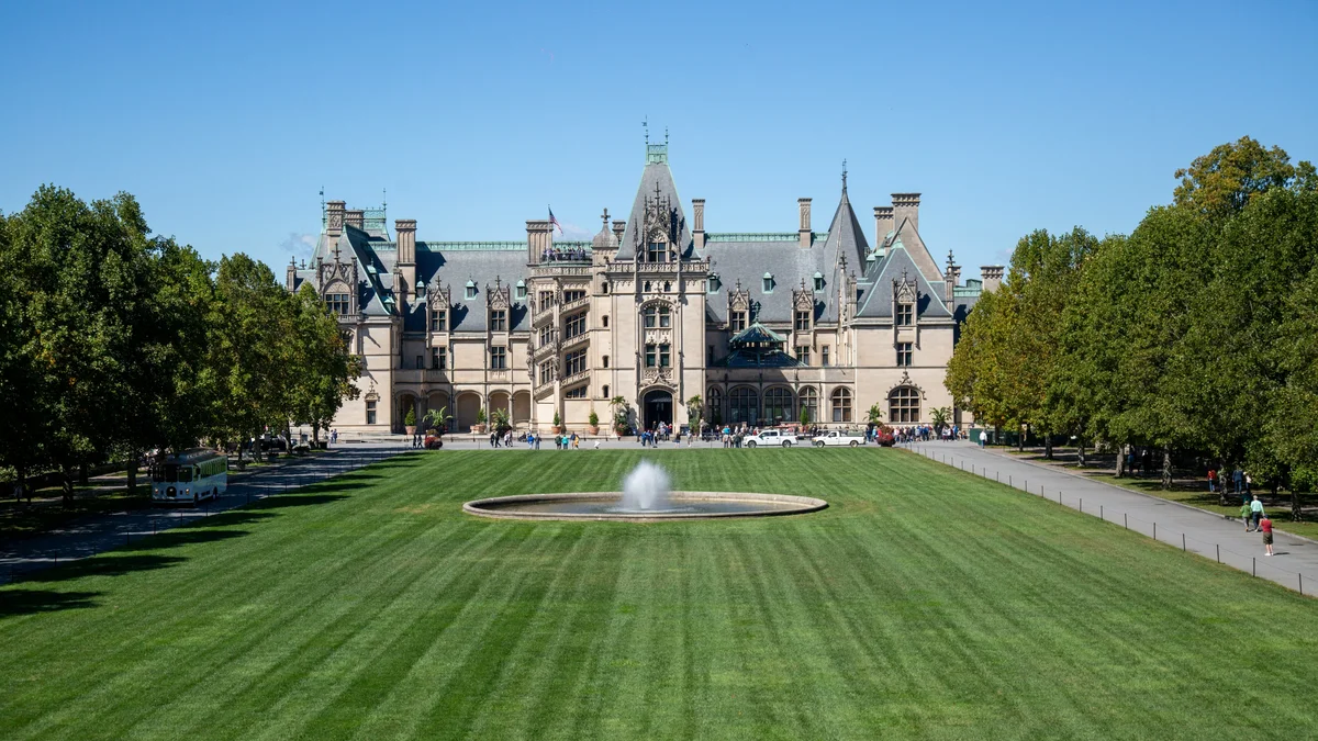
Several well-known stops cluster around Asheville. The Folk Art Center is at milepost 382 and the Blue Ridge Parkway Visitor Center at milepost 384, which the NPS names as the main source of information and maps. Craggy Gardens occupies miles 363.4 to 369.6 and is known for rhododendron blooms in mid-to-late June. Mount Mitchell State Park is reached via NC 128 at milepost 355.4. Mount Pisgah at milepost 408.6 was formerly part of the Biltmore Estate, and Looking Glass Rock is visible from around milepost 417.
The NPS describes the Parkway as an elongated park that preserves landscapes well beyond the road, and as a museum of the managed American countryside, with a log cabin, a textile magnate's summer home, and traces of logging, railways and an old canal. Further north, Humpback Rocks, Mabry Mill and Moses H. Cone Memorial Park show farm and mountain life. Wikipedia reports that it has been the most-visited NPS unit in nearly every year since 1946, with a few exceptions.
Conditions and access along the road can vary, so check the NPS Blue Ridge Parkway site for current information before you go. On a Voyzo private tour, a driver who knows the route can handle the winding road while you take in the overlooks, with door-to-door pickup in Asheville.
See every tour and attraction we cover in Asheville.