TorontoOntario · 36 tours
 Niagara FallsOntario · 25 tours
 New York CityNew York · 30 tours
 Las VegasNevada · 8 tours
 San FranciscoCalifornia · 16 tours
 VancouverBritish Columbia · 17 tours
 DubaiUAE · 54 tours
 Abu DhabiUAE · 5 tours
 Buenos AiresArgentina · 23 tours
 AthensGreece · 31 tours
 AucklandNew Zealand · 38 tours
 CancunMexico · 54 tours
No destinations match “”. Try searching all tours instead — that search understands full questions, not just place names.
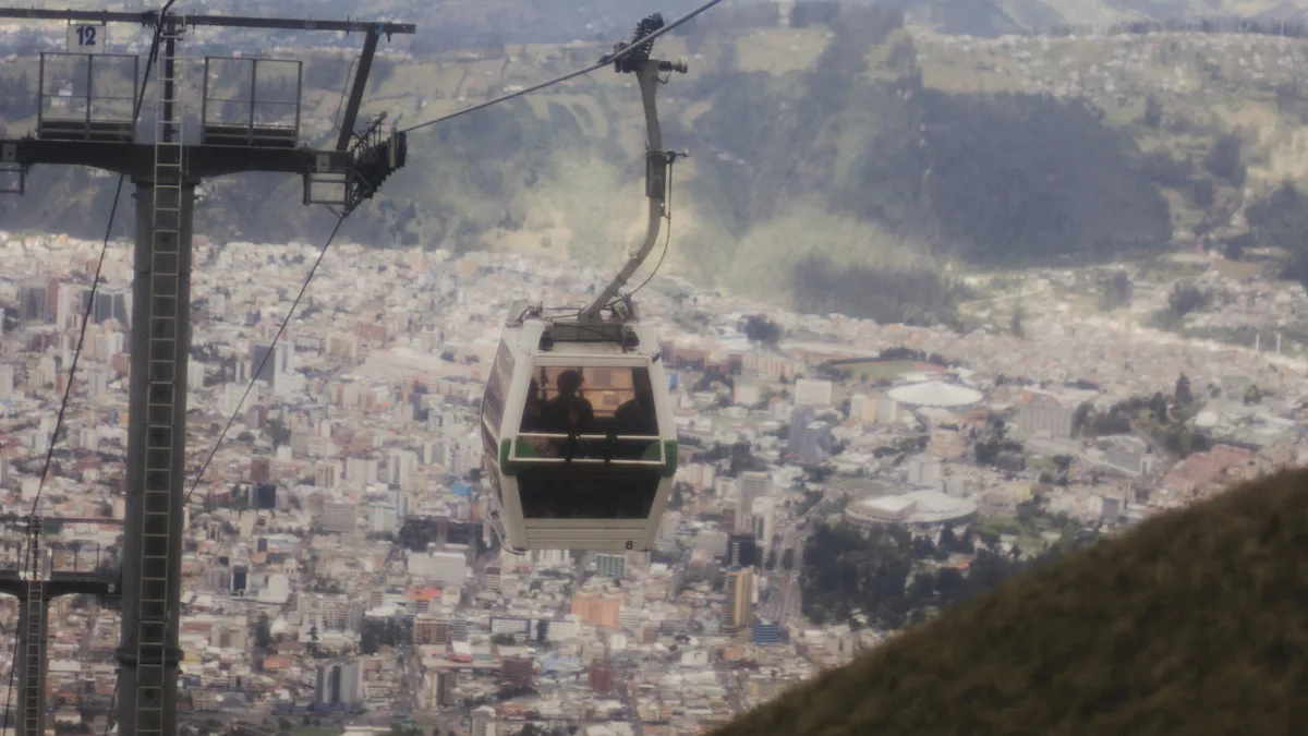
The TelefériQo is Quito's cable car, climbing the eastern slopes of Pichincha Volcano to an observation station roughly 3,950 meters (about 13,000 feet) above sea level. On a clear day, riders get sweeping views over the entire city and a chain of surrounding Andean volcanoes.
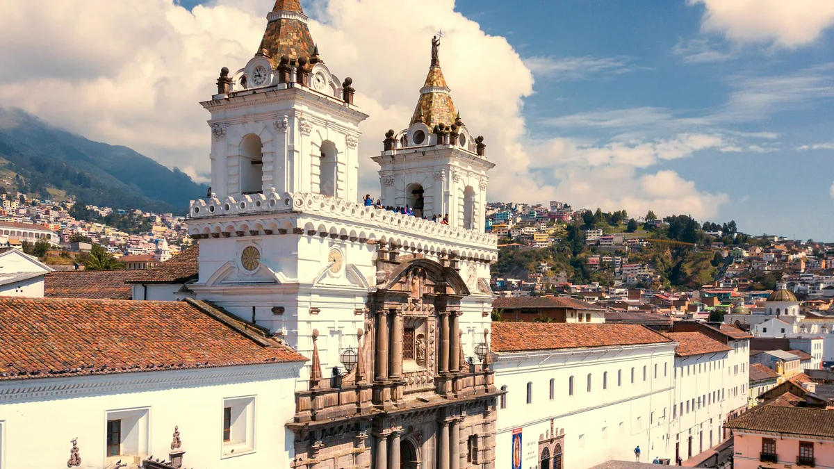 Private Tours
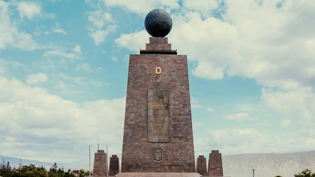
A 100% private, personalized full-day tour combining a ride on Quito's TelefériQo cable car, a walk through the UNESCO-listed Old Town, and a stop at the Mitad del Mundo equator monument.
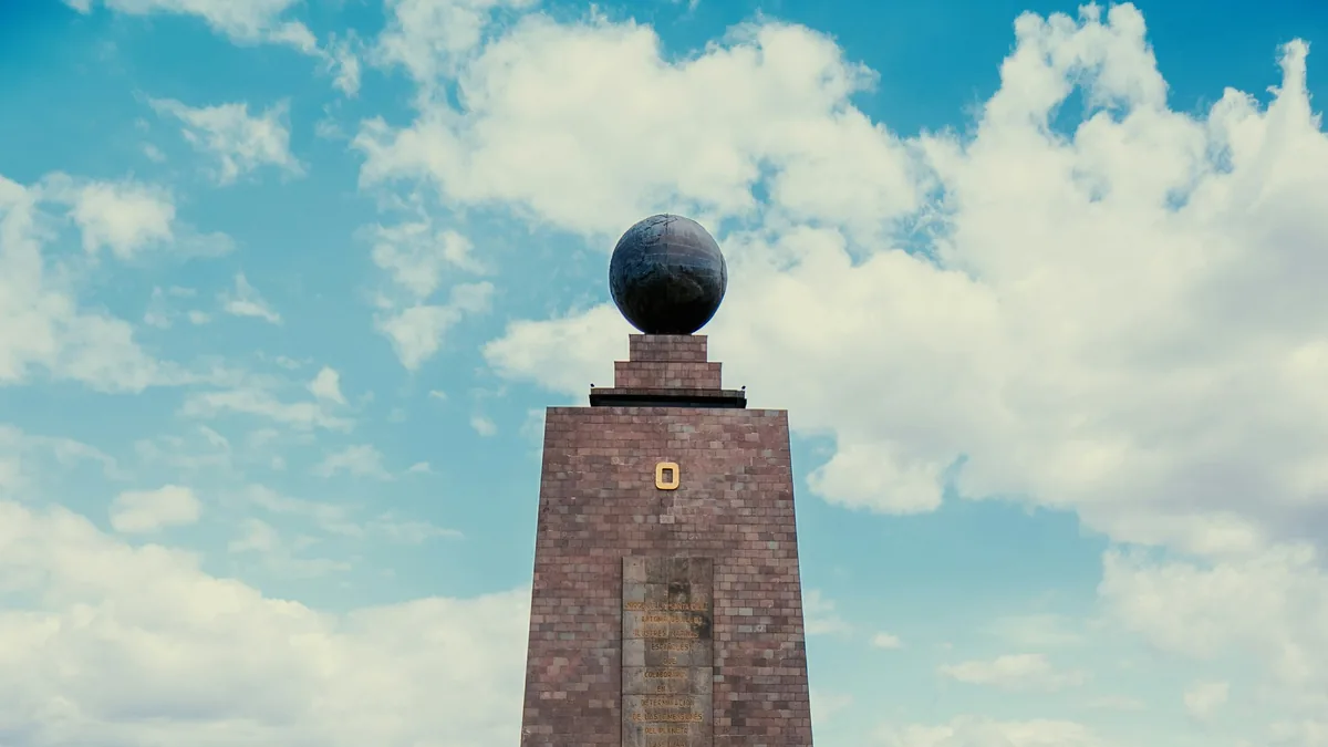 Private Tours
A private guided half-day pairing the Mitad del Mundo equator monument with a ride on the TelefériQo cable car for volcano and city views.
Visitor guide
The TelefériQo is a gondola lift in Quito, Ecuador, that climbs the eastern flank of the Pichincha volcano to a lookout at Cruz Loma. Wikipedia describes it as one of the highest aerial lifts in the world, and it gives riders wide views over the capital and the surrounding Andean ridges.
According to Wikipedia, the lift opened in July 2005 and runs from about 3,117 metres at the base to about 3,945 metres at the top, a climb of roughly 2,237 linear metres that takes around twenty minutes. Some promotional descriptions give the top elevation as roughly 4,100 metres, but the figure above is the one in the encyclopedia, so heights should be treated as approximate. The lower station is on the edge of the city, and the cabins glide above forested slopes and open páramo.
The upper station has viewing platforms for photographs, a small café, a public restroom and a few shops, according to Wikipedia. On a clear day the view takes in Quito stretched along its valley and, in the right conditions, snow-capped volcanoes in the distance. The upper station is cooler and windier than the city and is prone to fog, especially in the morning, so views can come and go within minutes.
Beyond sightseeing, the lift is a gateway for hiking on Pichincha, which Wikipedia describes as an active stratovolcano. Wikipedia reports that, as of 2018, visitors had to show photo identification and keep their ticket stub for the return trip, which also works as a basic check on hikers who do not come back. Pichincha's last notable large eruption on record, in 1660, deposited ash on the city. The mountain looms over Quito and shapes the city's long, narrow layout.
At the bottom, a visitor centre includes restaurants, a food court and the VulQano Park amusement area, which Wikipedia says includes what it calls the world's highest go-kart track. The base is a convenient meeting point for a private transfer from the Old Town or hotels.
Because Quito itself is already high, the extra altitude at the top can cause headaches or breathlessness for some travellers. Taking time at the summit, drinking water and dressing in layers are sensible. A private guide and driver can time the visit for the clearest morning conditions and combine it with other stops in the city.
Pichincha has two main summits, Wawa Pichincha at about 4,784 metres and Ruku Pichincha at about 4,698 metres, and Wikipedia says Ruku is typically reached from the cable car side. The mountain wraps around Quito's western edge and was regarded as sacred by indigenous peoples long before European contact. In 1737 members of the French Geodesic Mission spent 23 days on the summit of Rucu Pichincha during their triangulation work, and in 1802 Alexander von Humboldt climbed the mountain and measured its height. Wawa Pichincha has an active caldera, so the volcano is monitored. Seeing the city from above helps travellers understand how Quito is stretched in a long strip along the slopes.
See every tour and attraction we cover in Quito.