TorontoOntario · 36 tours
 Niagara FallsOntario · 25 tours
 New York CityNew York · 30 tours
 Las VegasNevada · 8 tours
 San FranciscoCalifornia · 16 tours
 VancouverBritish Columbia · 17 tours
 DubaiUAE · 54 tours
 Abu DhabiUAE · 5 tours
 Buenos AiresArgentina · 23 tours
 AthensGreece · 31 tours
 AucklandNew Zealand · 38 tours
 CancunMexico · 54 tours
No destinations match “”. Try searching all tours instead — that search understands full questions, not just place names.
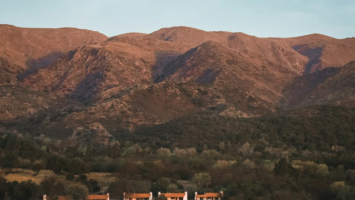
The Sierras Chicas are a real mountain range just outside Córdoba city, forming the scenic backdrop for the region's wine country, hiking trails, and small mountain towns.
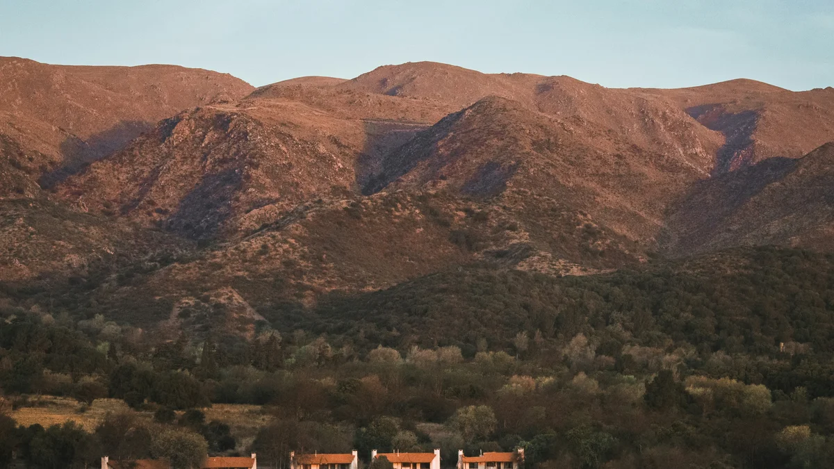 Wine Tours
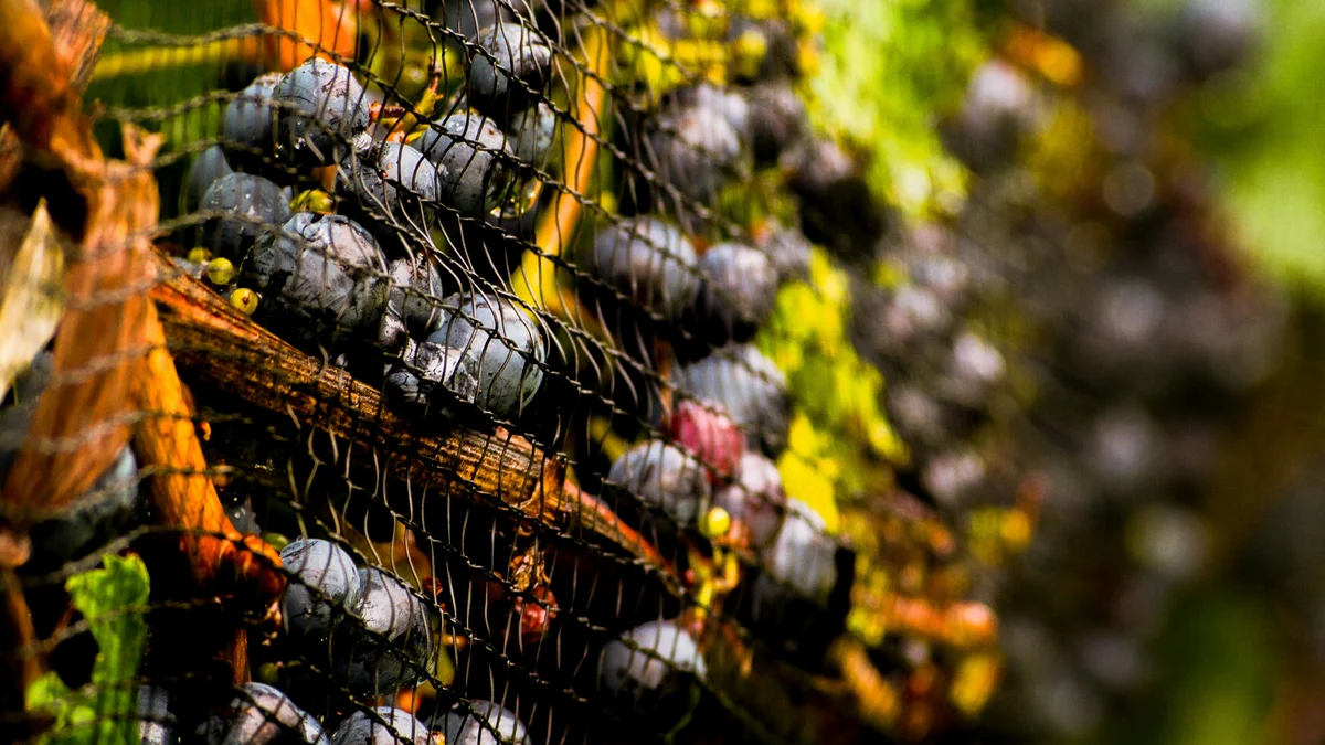
Córdoba's leaders in wine tourism bring you a genuinely all-inclusive private day through the Calamuchita Valley — transportation, tastings, visits to boutique wineries and vineyards, and a full multi-course lunch paired with different Córdoba wines, set against the real landscapes of mountains, hills, and lakes.
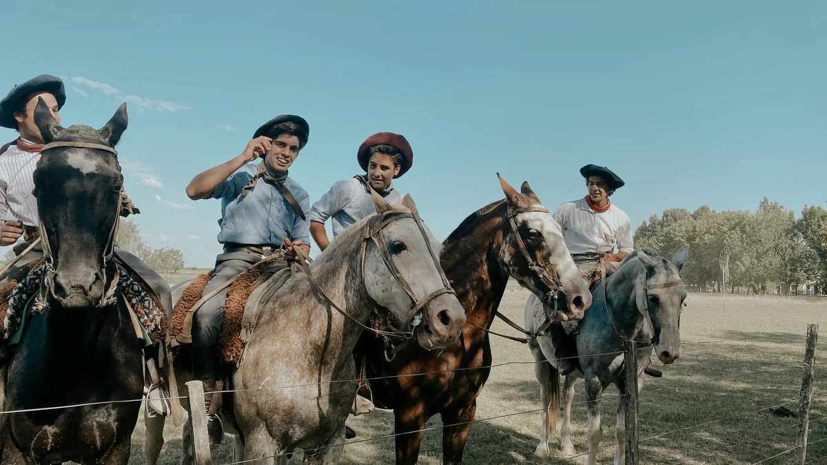 Wine Tours
Córdoba's leaders in wine tourism offer a distinct experience here: a real guided horseback ride toward Finca La Granja, deep in the Sierra de Paravachasca mountains, where you'll walk through a beautiful vineyard enjoying a glass of regional wine before riding back to a horse ranch for a Córdoba-style asado paired with premium local wines.
Visitor guide
The Sierras Chicas are a mountain range in Cordoba Province, Argentina, running north to south to the northwest of the city of Cordoba. Part of the Sierras de Cordoba, the range is lower and gentler than the neighbouring Sierras Grandes and is lined with small towns that serve as weekend and commuter retreats for the provincial capital.
According to Wikipedia, the range stretches about 250 kilometres from north to south and lies east of the Punilla Valley. Its eastern slopes are less steep than the western ones, and it falls in height toward the south. The Comechingones, the region's Indigenous people, called the range Viarava.
The highest peak is Uritorco, at 1,979 metres above sea level, east of Capilla del Monte, and another notable summit is Cerro Pan de Azucar at 1,260 metres, east of Cosquin. The northern section around Uritorco is the most rugged part of the range, while the rest has gently sinuous slopes.
The Sierras Chicas have Precambrian origins and belong to the Sierras Pampeanas, whose southern extreme is the Sierras de Cordoba. The rocks are metamorphic, and Wikipedia explains that erosion reduced the ranges to nearly flat surfaces over millions of years before the Andean uplift of the Tertiary rejuvenated some blocks and sank others. Because the Sierras Chicas sit on the eastern edge, they stayed modest in height compared with ranges closer to the Andes.
Three rivers that predate the mountains cut across the range: the Anisacate, the Los Molinos and the Primero, also called the Suquia. Rivers flowing from the eastern flank of the Sierras Grandes carve deep gorges through the Sierras Chicas, and dams such as El Cajon, Mal Paso and La Quebrada provide water reserves for cities. Other dams in the wider system, including San Roque and Los Molinos, generate hydroelectric power.
A string of towns lies at the foot of the range. Wikipedia lists La Calera, Saldan, Villa Allende, Mendiolaza, Unquillo, Rio Ceballos, Salsipuedes, El Manzano, Agua de Oro, La Granja, Ascochinga and Jesus Maria among the commuter and satellite towns of Cordoba city. Further along the Punilla Valley, tourist towns include Villa Carlos Paz, Cosquin, La Falda and La Cumbre, with Villa General Belgrano and Santa Rosa de Calamuchita in the Calamuchita Valley.
Tourism centres on these foothill towns, where river valleys, hill viewpoints and a cooler setting than the plains draw visitors. The Wikipedia article is light on climate and visitor detail, so the range is best understood as a green belt of hills and small towns rather than a single destination.
Because the Sierras Chicas are spread over a long north-south strip, a private guided visit with a driver is a practical way to link several towns and viewpoints in a single outing without worrying about navigation. Seasons and trail conditions vary, so plan around local advice.
See every tour and attraction we cover in Cordoba.