TorontoOntario · 36 tours
 Niagara FallsOntario · 25 tours
 New York CityNew York · 30 tours
 Las VegasNevada · 8 tours
 San FranciscoCalifornia · 16 tours
 VancouverBritish Columbia · 17 tours
 DubaiUAE · 54 tours
 Abu DhabiUAE · 5 tours
 Buenos AiresArgentina · 23 tours
 AthensGreece · 31 tours
 AucklandNew Zealand · 38 tours
 CancunMexico · 54 tours
No destinations match “”. Try searching all tours instead — that search understands full questions, not just place names.
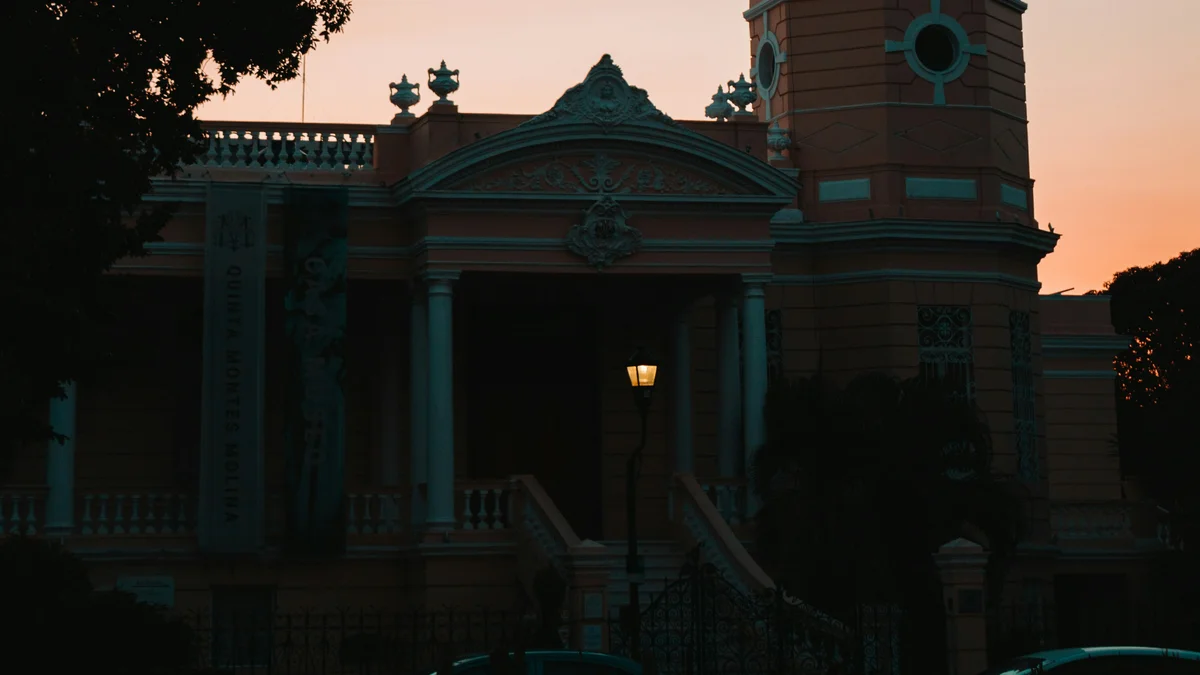
A grand boulevard modeled on Paris's Champs-Elysees, lined with the mansions built by henequen ('green gold') plantation families during Merida's late-19th and early-20th-century economic boom. Several mansions, like Quinta Montes Molina, are open to the public.
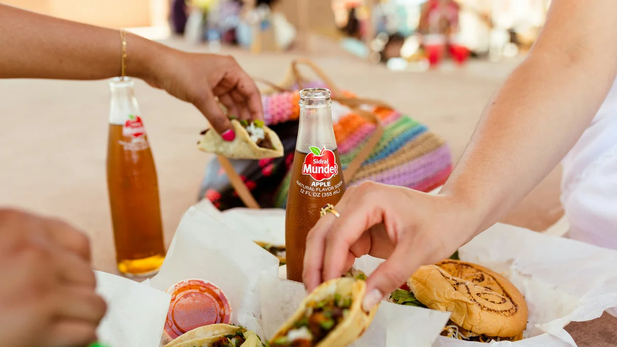 Private Tours
Walk the Santiago neighborhood and its traditional market, the Cathedral and Plaza Grande, La Mejorada, La Ermita, and Paseo de Montejo, with tastings along the way.
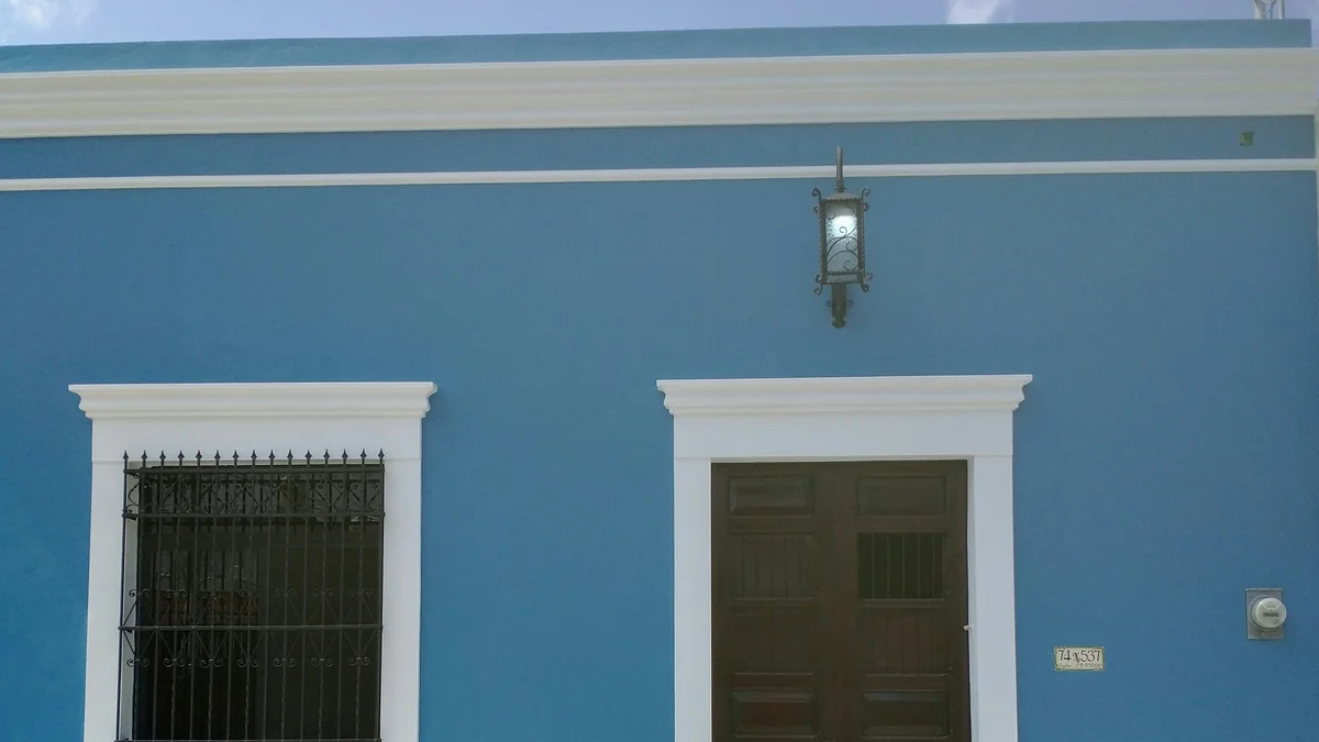 Private Tours
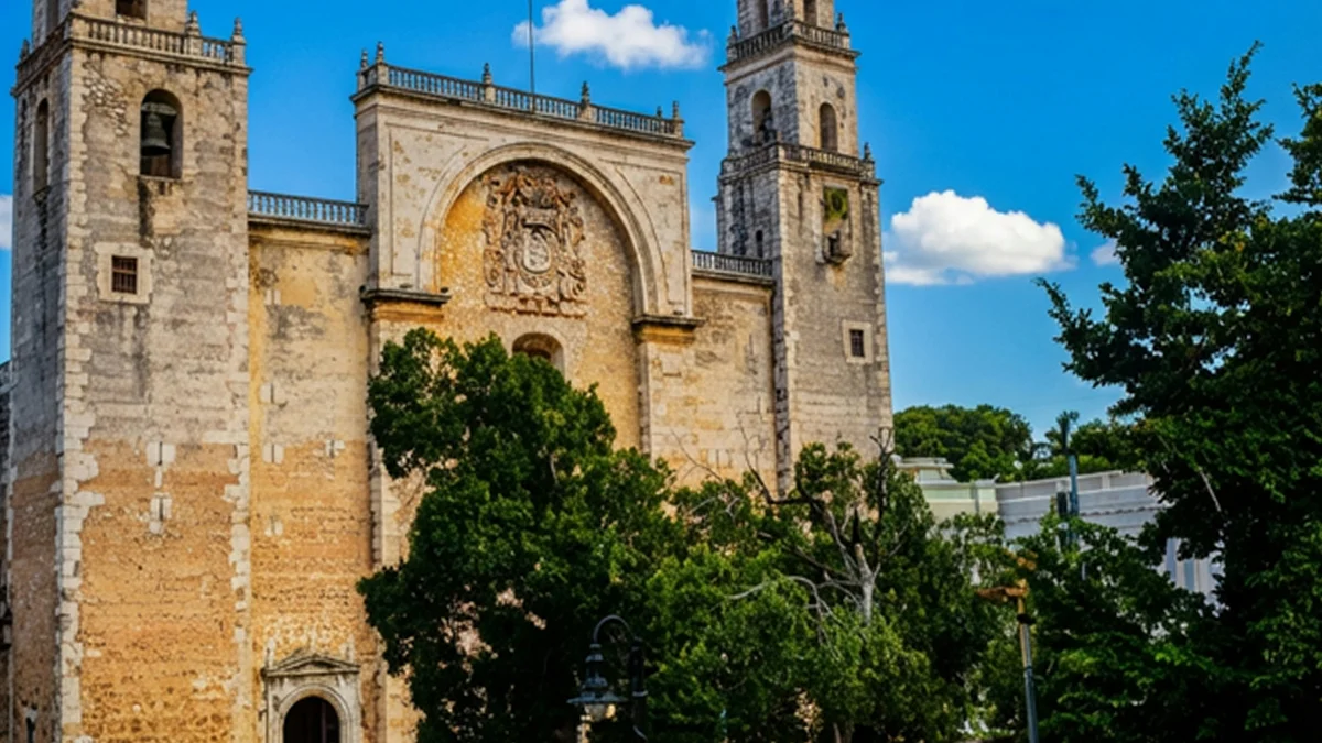
A professional photographer with a decade of experience leads you through Merida's colonial landmarks, from San Ildefonso Cathedral to the mansions of Paseo de Montejo, with a full edited gallery delivered afterward.
Visitor guide
Paseo de Montejo is the grand tree-lined boulevard of Merida, in Yucatan, Mexico. Wikipedia describes it as one of the city's longest avenues, running more than six kilometres north from the Santa Ana neighbourhood downtown, and as a showcase of mansions built during the henequen boom.
In the late nineteenth century Yucatan prospered from henequen, the fiber crop nicknamed green gold. Spanish Wikipedia says Merida then had few avenues, and its social life centered on places such as La Alameda, also called Paseo de las Bonitas. During the governorship of Guillermo Palomino from 1886 to 1889 the idea of expanding the city emerged, and in January 1888 landowners, industrialists and merchants proposed the boulevard. The first stone was laid on 5 February 1888, and construction was completed in 1904 under Governor Olegario Molina Solis, when the original avenue ran 1,280 metres.
The avenue is named after Francisco de Montejo, the conquistador who founded Merida in 1542. Its layout was inspired by French boulevards, especially the Champs-Elysees in Paris, with large trees, a central median and several roundabouts. English Wikipedia notes that it was meant to modernize the city and create a new hub for social and commercial life.
The boulevard grew in stages. A 440-metre northward extension in 1926 ends at a roundabout where the Monumento a la Patria, sculpted by the Colombian artist Romulo Rozo and completed in 1956, now stands. Further extensions followed in 1950 and 1979, and a monument to Gonzalo Guerrero, a sixteenth-century Spanish castaway regarded as a father of mestizaje, was placed at the northern end in 1993. A statue of Justo Sierra O'Reilly was placed at Calle 33 in 1906, and one of Felipe Carrillo Puerto in 1925. At the entrance, El Remate plaza was inaugurated on 5 January 1995, and a monument to the Montejos was inaugurated on 30 June 2010.
The northern end of the avenue connects to highway 231 just south of the Gran Museo Maya, according to English Wikipedia. In 1938 Governor Humberto Canto Echeverria ordered a detour toward the Salvador Alvarado sports complex and tried to rename the avenue Paseo de Nachi Cocom, a name Spanish Wikipedia says residents rejected. A southward extension planned in 1916 under Salvador Alvarado was never built, and a 2,600-metre northern extension in 1979 under Gaspar Gomez Chacon brought the avenue to its present length.
Mansions along the avenue include Casa Vales, Casa Peon de Regil, the Casas Camara, Casa del Minarete and Quinta Montes Molina, built for wealthy families in a range of neoclassical and eclectic styles. The Palacio Canton, once the governors' official residence, has housed the Museo Regional de Antropologia e Historia, run by INAH and the state government, since 1966. The Archivo Historico de Merida opened on the avenue in January 2007. Temporary sculpture exhibitions are often shown on the sidewalks.
The avenue is well suited to a slow drive or walk, and a private tour with a driver can combine it with the mansions, museums and the historic center of Merida.
See every tour and attraction we cover in Merida.