TorontoOntario · 36 tours
 Niagara FallsOntario · 25 tours
 New York CityNew York · 30 tours
 Las VegasNevada · 8 tours
 San FranciscoCalifornia · 16 tours
 VancouverBritish Columbia · 17 tours
 DubaiUAE · 54 tours
 Abu DhabiUAE · 5 tours
 Buenos AiresArgentina · 23 tours
 AthensGreece · 31 tours
 AucklandNew Zealand · 38 tours
 CancunMexico · 54 tours
No destinations match “”. Try searching all tours instead — that search understands full questions, not just place names.
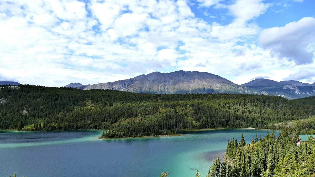
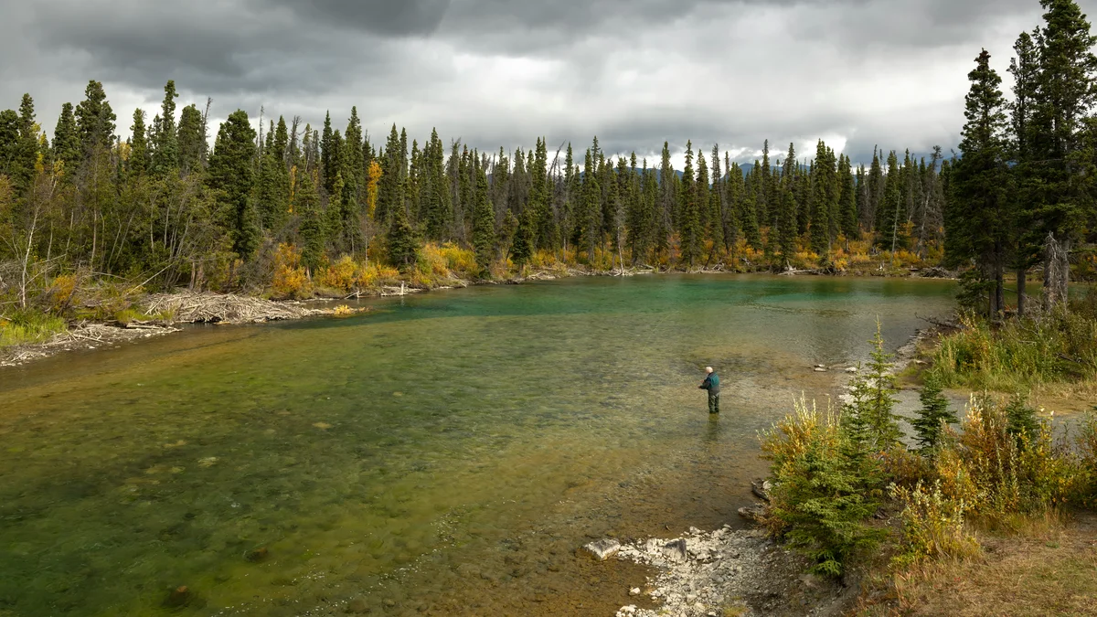
A dramatic basalt-walled canyon on the Yukon River just outside Whitehorse, formed by an ancient lava flow.
Visitor guide
Miles Canyon is a narrow basalt gorge on the Yukon River a few kilometres south of downtown Whitehorse, now crossed by the Robert Lowe Suspension Bridge. For centuries it was a fish-camp and portage landscape, and in 1898 it became one of the most feared stretches of the Klondike route.
Interpretive signage at the canyon describes the dark rock as basalt from a volcanic vent about 8 kilometres to the south, with the lava reaching the Yukon valley roughly 8.5 million years ago. Drilling near the former rapids has shown the lava layer reaching about 110 metres thick, though only the top portion shows at the bridge. The river has cut through the flow, eroding along the joints between columns, so you can see basalt columns in the walls. The pre-dam water level was around 10 metres lower, exposing more rock than visitors see today.
Archaeological evidence points to long human use of the area, including a traditional route between Marsh Lake and Lake Laberge and seasonal fish camps above and below the canyon. In 1883 explorer Frederick Schwatka noted a First Nations portage trail bypassing the canyon and named it Miles Canyon, after U.S. General Nelson Miles; it had previously been called Grand Canyon.
Miles Canyon and the White Horse Rapids that followed were among the most dangerous points on the Klondike route. Stampeders either portaged or ran their boats, and in the winter of 1897 entrepreneurs built horse-drawn tramways on either side of the river. Norman Macaulay's tramway on the east bank, reportedly built in about three weeks using pole rails, hauled goods and boats around the hazard. A tent town called Canyon City grew at its head. When the White Pass and Yukon Route railway reached Whitehorse in 1900, the main settlement shifted to the west bank. Remnants of the wooden cross-ties are said to survive in places on the east side. Canyon City is recognized as a Yukon Government Heritage Site.
The 85-foot Robert Lowe Suspension Bridge was built in 1922 across the narrowest part of the canyon. It is named for Robert Lowe, a Whitehorse pioneer who was elected to the Yukon Territorial Council in 1902 and became its Speaker in 1909. Sources disagree on who built it: a White Pass and Yukon Route newsletter claimed the company did, while a Yukon government backgrounder credits the federal Department of Public Works and Whitehorse, so the credit is uncertain.
The rapids vanished beneath Schwatka Lake after a hydroelectric dam was completed in 1958, so the canyon today is calm, with turquoise water between steep basalt walls. Trails lead to the bridge and viewpoints, and the bridge is used as a footbridge. Boat tours operate here seasonally, so check with operators for current schedules.
Wear sturdy shoes, as trail surfaces near the canyon rim can be uneven. A private driver makes it easy to start at the bridge and follow the trail towards the old Canyon City area without arranging a second vehicle.
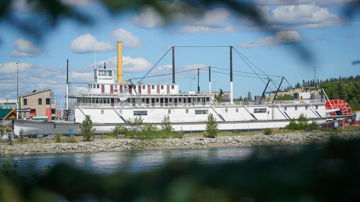
The Yukon River waterfront, S.S. Klondike National Historic Site and downtown Whitehorse are a short drive away.
See every tour and attraction we cover in Whitehorse.