TorontoOntario · 36 tours
 Niagara FallsOntario · 25 tours
 New York CityNew York · 30 tours
 Las VegasNevada · 8 tours
 San FranciscoCalifornia · 16 tours
 VancouverBritish Columbia · 17 tours
 DubaiUAE · 54 tours
 Abu DhabiUAE · 5 tours
 Buenos AiresArgentina · 23 tours
 AthensGreece · 31 tours
 AucklandNew Zealand · 38 tours
 CancunMexico · 54 tours
No destinations match “”. Try searching all tours instead — that search understands full questions, not just place names.
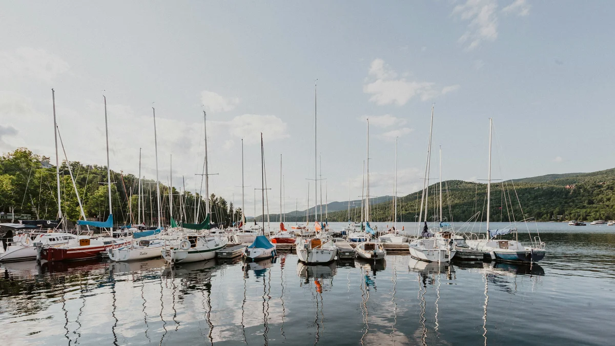
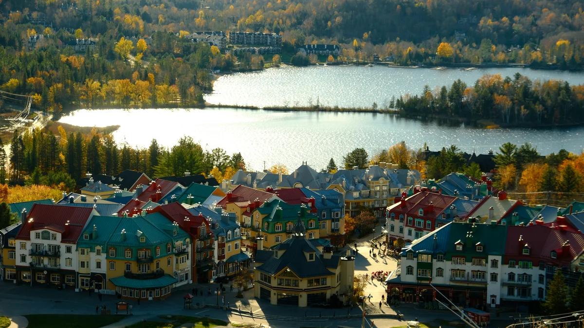
The lake bordering the resort village, framed by forested hills and visible from the air on the resort's helicopter flights.
 Private Tours
A private 10 or 20-minute helicopter flight over Mont-Tremblant's resort, pedestrian village, and the forests and lakes of the Laurentian Mountains, with every passenger seated by a window.
 Private Tours
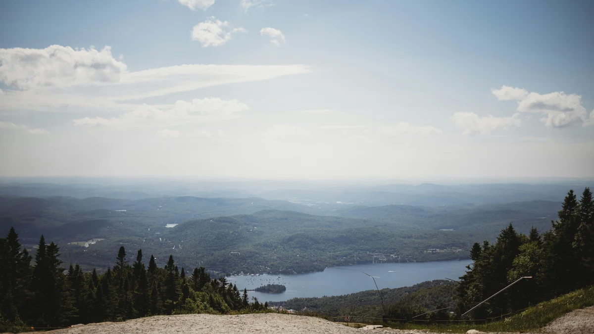
A private helicopter flight covering 70 kilometres over Mont-Tremblant — the resort and village, the dense forests of Mont-Tremblant National Park, and Lakes Tremblant and Mercier — departing from a dedicated heliport just outside the resort.
Visitor guide
Lac Tremblant is a long, narrow lake in Quebec's Laurentians that lies at the foot of Mont Tremblant. Wikipedia gives its length as about 12 kilometres and its maximum width as 1 kilometre, with a surface area of around 9.45 square kilometres, seven islands and five prominent bays. The resort's pedestrian village sits on its southern shore.
The lake is wedged between mountain ridges in a transition zone between the deciduous forests of the Saint Lawrence valley and the boreal forest to the north. It is shared between two municipalities: the city of Mont-Tremblant to the south and Lac-Tremblant-Nord, which borders the western and northern sides. The southern half is developed as a recreation area, while the northern half is a largely private, natural heritage area with few roads and no permanent residents, according to Wikipedia. Its main outflow is the Petite Cachee River. Tourism sources sometimes quote a different length, so treat the 12-kilometre figure as approximate.
Sources agree that the mountain above the lake takes its name from Algonquin belief but differ on the details. Wikipedia gives the Algonquin name as Manitonga Soutana, translated as Mountain of Spirits, and says people reported rumblings and ground movement underfoot, which led to the French name meaning trembling mountain. The Canadian Encyclopedia instead gives Manitou Ewitchi Saga, translated as mountains of the dreaded Manitou, and says the spirit was believed to make the mountain shake when people disturbed nature. The peak rises to 932 metres, according to Wikipedia, and belongs to the Laurentian range.
The wider Mont-Tremblant National Park sits in the Grenville Province of the Canadian Shield on gneiss and granulite bedrock, and Ice Age glaciers rounded its hilltops and carved its valleys. The sources consulted do not say how the lake basin itself formed.
The surrounding forests were first logged in the late 1800s, and logs were floated down the Devils and Rouge rivers to the Hamilton Brothers mill in Hawkesbury, Ontario. A railway reached Saint-Jovite in the 1890s and the village on nearby Lac Mercier by 1904. That railway helped move the local economy from logging towards tourism. The first summer cottages appeared on the shore around 1905, numbering 33 by 1938, and the log drives had ended by the 1940s.
A fire in 1902 destroyed much of the wooded shoreline. Residents incorporated the municipality of Lac-Tremblant-Nord in 1915, carved from the territory of Joly Township, to protect the territory under a conservation-minded charter. Its territory surrounds the northern part of the lake and includes Bibite Lake, and its 2021 census population was 60, though the number of people grows greatly on holidays. The province's protection of the mountain forests dates to 1895, when Mont-Tremblant Park was first created; it was renamed Parc du Mont-Tremblant in 1961 and later became a national park, with 1981 given as an establishment date on Wikipedia. The park covers about 1,510 square kilometres and has more than 400 lakes.
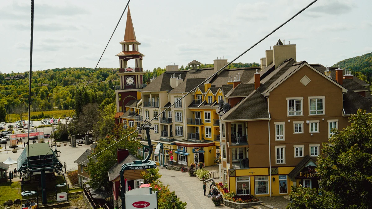
Resort development followed. American explorer Joseph Bondurant Ryan climbed the mountain in 1938 with Harry Wheeler of the Gray Rocks Inn and the journalist Lowell Thomas, and Ryan opened the Mont Tremblant Lodge on 12 February 1939. Thomas promoted the area through radio broadcasts, and a ski lift and several trails were named after him. Ryan built St. Bernard Chapel in 1940 to 1941 at the base of the village. Intrawest bought the resort in 1991 and expanded the pedestrian village in a style described as reminiscent of traditional Quebec.
Fish reported in the lake include smallmouth and largemouth bass, muskellunge, landlocked salmon and lake trout. The lake and mountain also drew artists: Wikipedia notes the French writer Marie Le Franc, who drew on the landscape for her novel Helier fils des bois, and painters including Maurice Cullen, whose work includes a canvas titled Sunrise, Lac Tremblant, as well as Edwin Holgate and Michel Normandeau.
See every tour and attraction we cover in Mont Tremblant.