TorontoOntario · 36 tours
 Niagara FallsOntario · 25 tours
 New York CityNew York · 30 tours
 Las VegasNevada · 8 tours
 San FranciscoCalifornia · 16 tours
 VancouverBritish Columbia · 17 tours
 DubaiUAE · 54 tours
 Abu DhabiUAE · 5 tours
 Buenos AiresArgentina · 23 tours
 AthensGreece · 31 tours
 AucklandNew Zealand · 38 tours
 CancunMexico · 54 tours
No destinations match “”. Try searching all tours instead — that search understands full questions, not just place names.
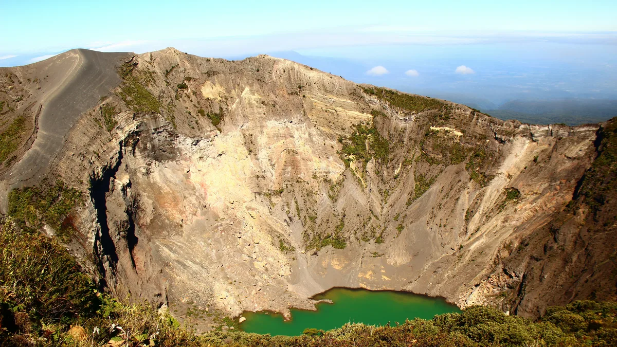
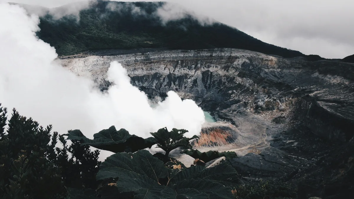
At 3,432 meters (about 11,260 feet), Irazú is the highest volcano in Costa Rica, with a summit reached by paved road and a short walk to several craters, including one filled with a striking greenish-yellow lake. On exceptionally clear days, visitors have reported views stretching to both the Pacific Ocean and the Caribbean Sea from the summit, though this depends heavily on weather. The park sits near the colonial city of Cartago, the country's former capital.
 Private Tours
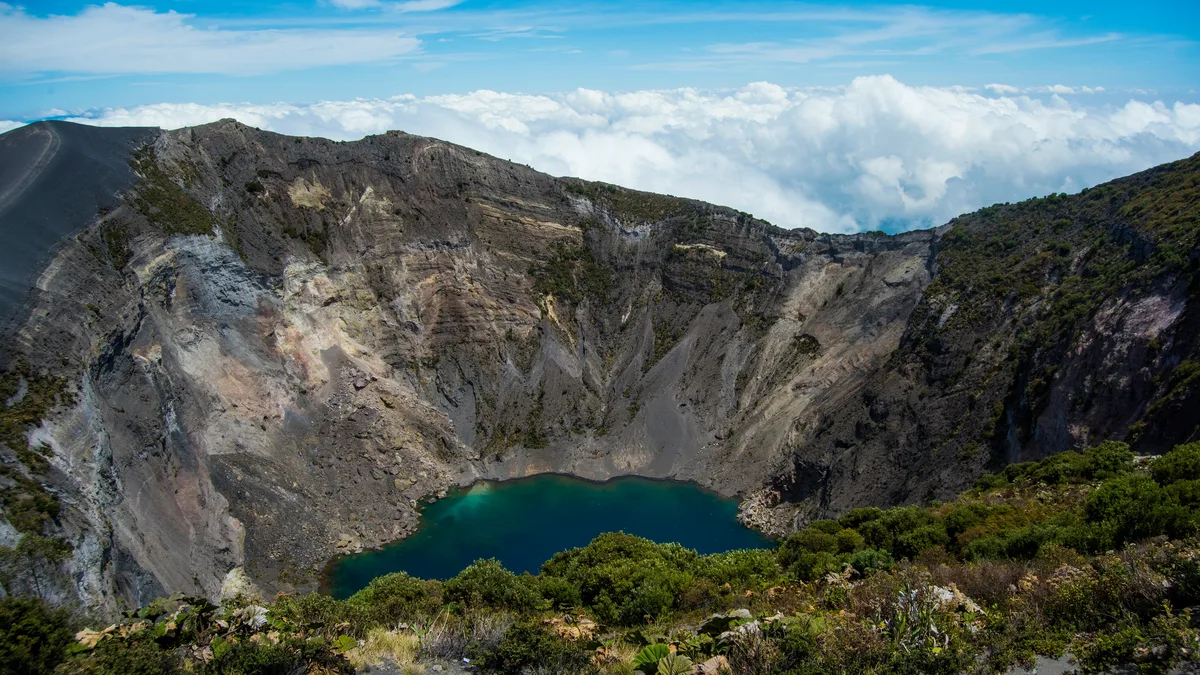
See the crater of Irazú, the tallest volcano in Costa Rica, then visit the Basílica de Nuestra Señora de los Ángeles in Cartago on the way back to San José.
 Private Tours
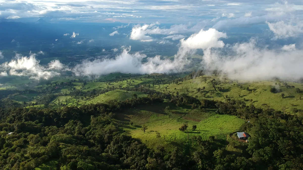
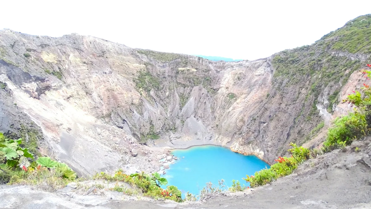
Combine Costa Rica's highest volcano with a relaxing soak at Hacienda Orosi's thermal pools, taking in views over the Central Valley along the way.
Visitor guide
Irazu Volcano National Park surrounds the highest active volcano in Costa Rica, rising to 3,432 metres near the city of Cartago in the Cordillera Central. The park, established in 1955, protects montane forest and a summit with several craters, and is among the most accessible volcano summits in the country.
Irazu is locally called El Coloso, and the origin of its name is uncertain; Wikipedia says it may combine words for point and thunder, or derive from Iztaru, an indigenous village on its flanks. The summit has five distinguishable craters. The Main Crater is nearly circular, about 1,050 metres wide and 300 metres deep, while Diego de la Haya is about 600 metres wide and holds a green crater lake whose depth varies. The others are Playa Hermosa, La Laguna and El Piroclastico.
The park's crater lake can change colour between emerald green and crimson red depending on minerals washed in by rain, according to Wikipedia. Geologically Irazu is a complex shield and stratovolcano of about 500 square kilometres, with basalt and andesite lavas, and radiometric dating shows it is at least 854,000 years old.
Irazu has erupted at least 23 times since its first recorded eruption in 1723. The best known began in mid-March 1963, a few days before US President John F. Kennedy began a state visit to Costa Rica. Ash fell over San Jose and much of the central highlands, and eruptions continued for around two years. Columbia University researchers concluded that the 1963 eruption was likely fed by magma that rose from the mantle in just a few months.
The most recent activity described by Wikipedia was a one-day eruption in December 1994; the park authority SINAC describes it as a sudden explosion on the north wall of the main crater, since when only fumaroles have been recorded there. Because activity can change, access to the summit is governed by park authorities and monitoring agencies.
The park was created in 1955 (Law 1917 of 30 July, published in La Gaceta on 9 August) and covers about 2,000 hectares after a 1988 boundary expansion. It includes primary, secondary and cloud forest, with a native oak and alder forest protecting the Reventado River watershed. The Prusia Forest Reserve is a reforestation site on land damaged by the 1963 to 1965 eruptions.
Vegetation includes conifers, cypress and mountain pines, bromeliads, ferns and orchids. Wildlife listed by Wikipedia includes owls, armadillos, rabbits, hummingbirds and woodpeckers. Summit temperatures range from about 3 to 17 degrees Celsius, so it is noticeably colder than San Jose.
On clear days both the Atlantic and Pacific oceans are visible from the summit area, though the top is usually under cloud, so mornings are the best bet. A road leads to the craters, and television transmitters for San Jose stations are located on the volcano. A private guided visit lets a driver manage the mountain road and combine Irazu with nearby Cartago sights, with a guide explaining the 1963 eruption and the crater features.
See every tour and attraction we cover in San Jose.