TorontoOntario · 36 tours
 Niagara FallsOntario · 25 tours
 New York CityNew York · 30 tours
 Las VegasNevada · 8 tours
 San FranciscoCalifornia · 16 tours
 VancouverBritish Columbia · 17 tours
 DubaiUAE · 54 tours
 Abu DhabiUAE · 5 tours
 Buenos AiresArgentina · 23 tours
 AthensGreece · 31 tours
 AucklandNew Zealand · 38 tours
 CancunMexico · 54 tours
No destinations match “”. Try searching all tours instead — that search understands full questions, not just place names.
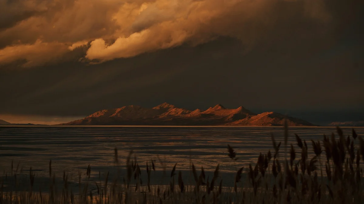
The largest saltwater lake in the Western Hemisphere, the Great Salt Lake is a remnant of the prehistoric Lake Bonneville and is several times saltier than the ocean. Its shifting water levels expose or submerge landmarks like the Spiral Jetty, and its shoreline is a major stopover for millions of migratory birds each year.
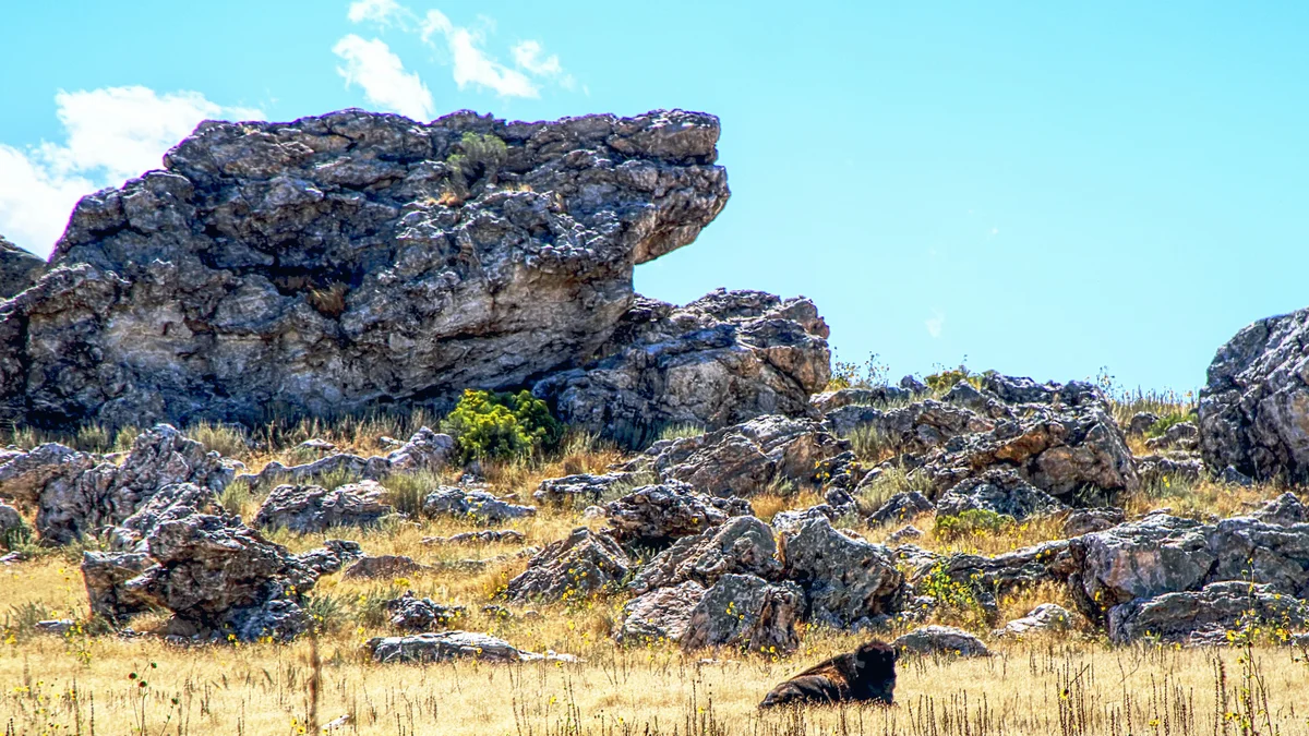 Private Tours
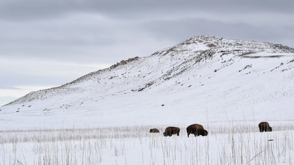
Explore Antelope Island State Park's free-roaming bison herd, pronghorn, and shoreline with your own private guide and former African safari leader — no other travelers along, and a flexible pace built around what you want to see.
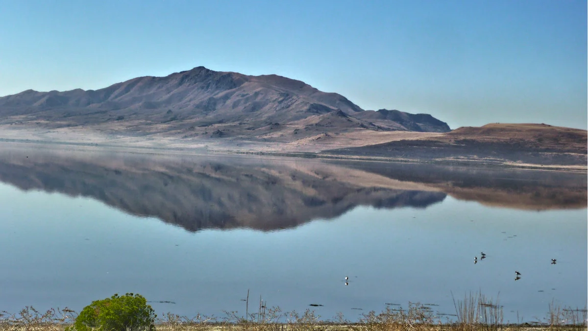 Private Tours
Your private guide drives you out to the remote north shore of the Great Salt Lake to see Spiral Jetty, Robert Smithson's 1970 land art installation, and the naturally pink-tinted water near Rozel Point.
Visitor guide
The Great Salt Lake is a shallow, hypersaline lake in northern Utah and the largest saltwater lake in the Western Hemisphere, according to Britannica as cited by Wikipedia. It is the shrunken remnant of ancient Lake Bonneville and a terminal lake, meaning it has no outlet to the ocean and loses water only by evaporation.
Lake Bonneville, the Ice Age lake that preceded it, covered roughly 22,400 square miles at its peak, about ten times today's area, and its old shorelines are still visible as terraces along the mountainsides of the region. As Bonneville shrank, the Great Salt Lake remained in the lowest part of the basin. The USGS describes the lake as sitting at the bottom of a 35,000-square-mile drainage basin, fed mainly by the Bear, Weber and Jordan rivers, which together carry about 2.2 million tons of salt into the lake each year, according to the USGS.
Because the lake is shallow, its area swings with small changes in level. The historical average area from 1847 to 1986 is given as about 1,700 square miles, the USGS records the historic high water level on June 3, 1986, when the lake covered approximately 2,300 square miles, and says it covered less than 1,000 square miles in 2022; other sources give different area figures. Salinity depends heavily on level and location. The USGS reported that south of the railroad causeway it ranged from 6 to 27 percent over 22 years, which is roughly 2 to 7 times saltier than the ocean. A railroad causeway built in the 1950s divides the lake into a southern arm and a saltier northern arm, and a bridge opened in 2016 allows some exchange of water between them. The northern arm, with its higher salinity, can turn pink.
The lake is too salty for fish, but the USGS describes an ecosystem of more than 30 species, anchored by brine shrimp and brine flies. Brine shrimp cysts are harvested commercially and supply the aquaculture industry worldwide. Millions of migratory and nesting birds use the lake and its shoreline, feeding on the shrimp and flies; Wikipedia notes the lake hosts what is described as the largest staging population of Wilson's phalaropes in the world. Mineral extraction, including salt, also removes about 2 million tons from the lake each year according to the USGS.
Drought, a changing climate and upstream water use have shrunk the lake in recent decades, and Utah agencies and researchers continue to track and debate its future; the USGS reports that the southern arm reached a record low water surface elevation of 4,188.5 feet on November 7, 2022, in a record that dates back to 1847. For current lake levels and conditions, check the Utah Geological Survey, the USGS or Utah State Parks.
The lake can be experienced from several vantage points. Antelope Island State Park, reached by causeway, offers beaches and trails, and Wikipedia notes the lake also contains other islands, though counts differ by source. Shoreline conditions vary with water level, so check the state for current access.
A private vehicle with a driver and door-to-door pickup can combine the lake with other Salt Lake City stops, so your group is not tied to a fixed schedule.
See every tour and attraction we cover in Salt Lake City.