TorontoOntario · 36 tours
 Niagara FallsOntario · 25 tours
 New York CityNew York · 30 tours
 Las VegasNevada · 8 tours
 San FranciscoCalifornia · 16 tours
 VancouverBritish Columbia · 17 tours
 DubaiUAE · 54 tours
 Abu DhabiUAE · 5 tours
 Buenos AiresArgentina · 23 tours
 AthensGreece · 31 tours
 AucklandNew Zealand · 38 tours
 CancunMexico · 54 tours
No destinations match “”. Try searching all tours instead — that search understands full questions, not just place names.
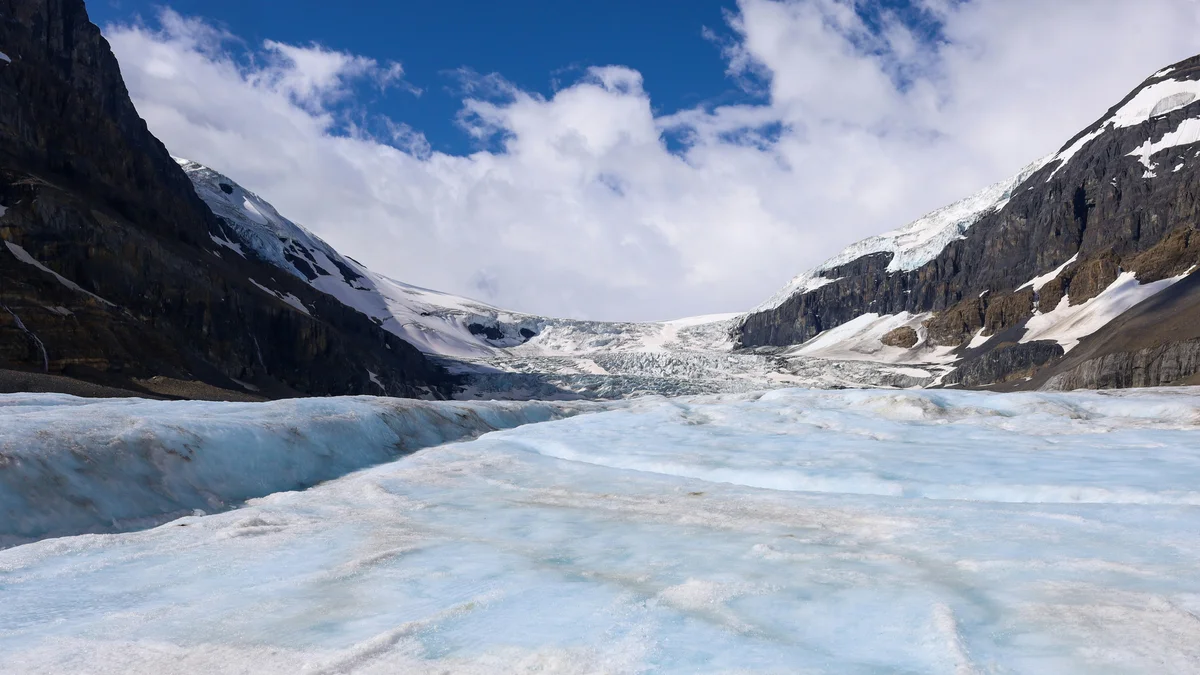
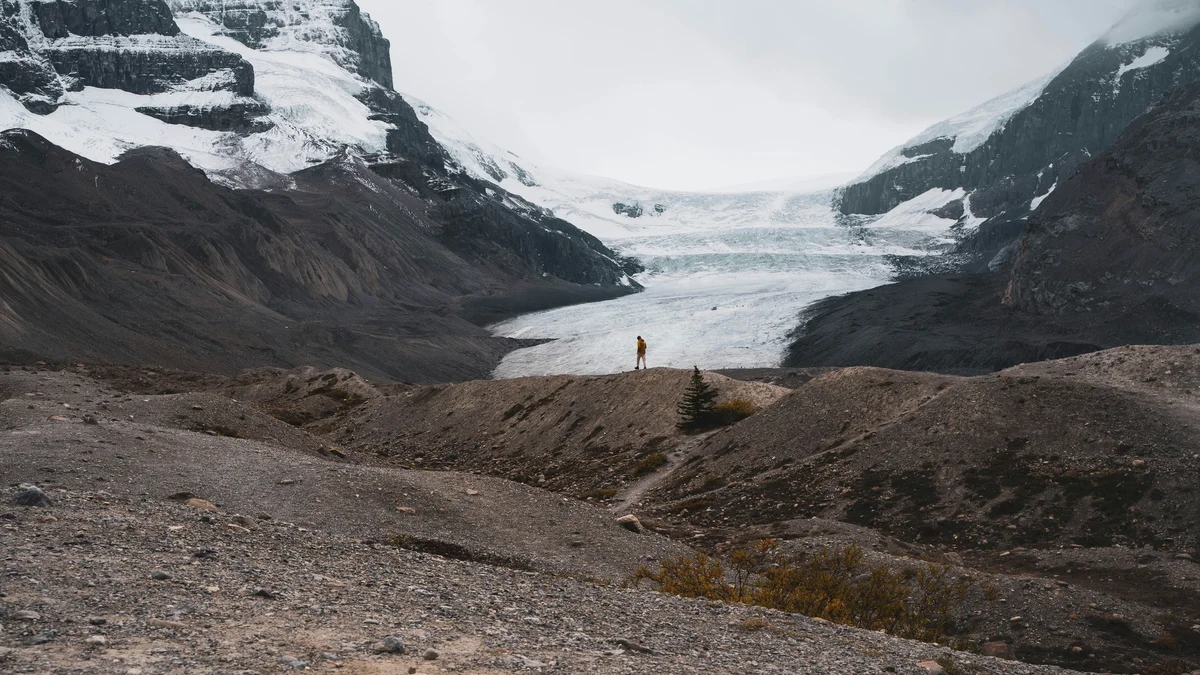
The Columbia Icefield is the largest ice field in the Canadian Rockies, feeding several major glaciers including the Athabasca Glacier, which is visible right from the Icefields Parkway. A marked trail leads to the glacier's toe, and guided ice-explorer and walking tours venture out onto the ice itself, though the glacier has retreated significantly over the past century, a visible reminder of a genuinely shrinking landscape.
Visitor guide
The Columbia Icefield straddles the Continental Divide on the Alberta and British Columbia border, partly in Banff and partly in Jasper National Park, and is the largest ice field in the Rocky Mountains of North America. The Athabasca Glacier, one of its outlet glaciers, reaches almost to the Icefields Parkway and is one of the most visited glaciers on the continent.
Wikipedia gives the Columbia Icefield an area of about 325 square kilometres, an ice depth of 100 to 365 metres and snowfall of up to 7 metres a year. It rests on nearly horizontal rock layers that erode slowly, which helps keep the surface high and cold. Six major glaciers drain it: Athabasca, Castleguard, Columbia, Dome, Stutfield and Saskatchewan. Its meltwater feeds the Athabasca and North Saskatchewan rivers and flows toward the Arctic, Hudson Bay and the Pacific, which is why it is described as a triple divide. Around it stand some of the Rockies' highest peaks, including Mount Columbia at 3,747 metres.
The icefield was first reported to the outside world in 1898 when J. Norman Collie and Hermann Woolley climbed Mount Athabasca. In 1902 James Outram made first ascents of peaks including Mount Columbia. The Athabasca Glacier is said to have peaked around 1800, readvanced to about 1840 and has been receding since; Parks Canada notes the forefield trail crosses ground exposed since the mid-1840s, and that limestone near the toe lay under the ice in the 1950s.
Wikipedia describes the Athabasca Glacier as about 6 kilometres long, about 6 square kilometres in area and between 90 and 300 metres thick. It has retreated more than 1.5 kilometres and lost over half its volume in roughly 125 years, and is currently thinning by about 5 metres a year. A Parks Canada manager has been quoted in news reports saying the glacier could be lost within a generation; figures vary, so treat such projections as estimates. Wikipedia also calls it the most visited glacier in North America, a claim worth reading as widely repeated rather than precisely counted.
Parks Canada is blunt: walking on the Athabasca Glacier is not safe. The ice at the toe is hollow and collapsing, the meltwater is extremely cold and fast, and crevasses are hidden beneath thin snow that can give way. Several people have died in falls. Marked trails cross the forefield and the toe area, and meltwater can force a turnaround on warm days. The area is rugged, cold and windy, and wet snow can fall in midsummer, so bring an extra layer, gloves and a hooded jacket.
The Columbia Icefield Glacier Discovery Centre sits across the Icefields Parkway from the glacier. From there the operator runs a guided tour using large all-terrain Ice Explorer vehicles onto a prepared area of the glacier surface, and then to the Columbia Icefield Skywalk, a glass-floored walkway the operator says is suspended 280 metres above the Sunwapta Valley. Operating dates and tickets change each year, so check the operator and Parks Canada for current information.
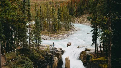
The icefield sits along Highway 93, the Icefields Parkway. Parks Canada's Icefields Parkway guide describes it as a remote roadway with limited services, with Saskatchewan River Crossing about 153 kilometres from Jasper, so fuel up beforehand. Athabasca Falls and Sunwapta Falls are on the way. A Voyzo private driver handles the mountain driving and pickup, leaving you free to look.
Parker Ridge, a hike of 5.4 kilometres return, offers a view of the Saskatchewan Glacier according to Parks Canada, and the Parkway continues south into Banff National Park.
See every tour and attraction we cover in Jasper.