TorontoOntario · 36 tours
 Niagara FallsOntario · 25 tours
 New York CityNew York · 30 tours
 Las VegasNevada · 8 tours
 San FranciscoCalifornia · 16 tours
 VancouverBritish Columbia · 17 tours
 DubaiUAE · 54 tours
 Abu DhabiUAE · 5 tours
 Buenos AiresArgentina · 23 tours
 AthensGreece · 31 tours
 AucklandNew Zealand · 38 tours
 CancunMexico · 54 tours
No destinations match “”. Try searching all tours instead — that search understands full questions, not just place names.
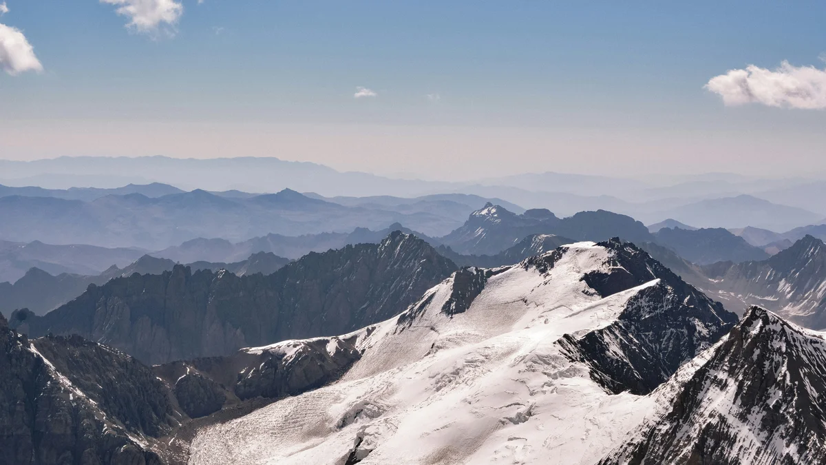
Home to Cerro Aconcagua, at 6,961 meters the highest peak in both the Americas and the Southern Hemisphere. Most visitors see it from the Laguna Horcones viewpoint, a short walk from the park entrance along Route 7 toward the Chilean border.
 Private Tours
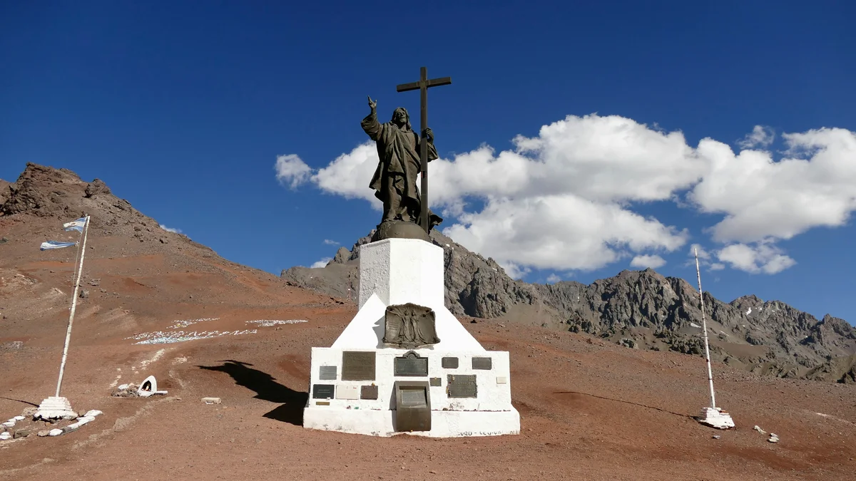
A completely private day trip into Aconcagua Provincial Park, with around two hours exploring the Laguna Horcones area at a relaxed pace and views of Aconcagua's south face, plus coffee and croissants in Uspallata and a traditional asado with wine.
 Private Tours
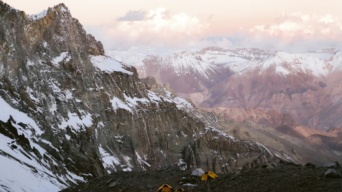
A private, full-day hike to Confluencia Camp on Aconcagua, led by a professional mountain guide who also works on Aconcagua expeditions and summit ascents, with a separate dedicated driver for the roughly 400km round-trip journey.
Visitor guide
Aconcagua Provincial Park is a protected area in the Andes of Mendoza Province, Argentina, created to conserve the natural and cultural values around Cerro Aconcagua. The mountain is the highest peak outside Asia, with its summit generally given as roughly 6,960 to 6,967 metres, and it is also one of the Seven Summits.
Aconcagua stands in the Principal Cordillera of the Andes, about 112 km northwest of Mendoza and 15 km from the Chilean border. Wikipedia gives a summit elevation of 6,967 m, while Spanish Wikipedia cites figures of about 6,961 to 6,963 m, so published heights vary slightly. The origin of its name is uncertain. Suggested sources include the Mapudungun Aconca-Hue, meaning comes from the other side, the Quechua phrases Ackon Cahuak (Sentinel of Stone) and Anco Cahuac (White Sentinel), and the Aymara Janq'u Q'awa, meaning White Ravine.
According to Spanish Wikipedia, the park was created on 28 April 1983 by provincial decree-law 4807 as a total reserve for fauna, flora and archaeological material, and it has been administered by the province's natural resources directorate since 1989. A provincial law of November 2019 added about 18,500 hectares in the Quebrada de Matienzo, and the Mendoza government gives a total of about 85,900 hectares after that expansion. The same article lists earlier figures of roughly 65,000 to 71,000 hectares, and it carries a note that it needs better references, so the numbers should be treated as approximate.
Several glaciers descend the mountain's flanks, the longest being the Horcones Inferior glacier at roughly 10 km. Others named in the Spanish article include the Polacos and Güssfeldt glaciers. The Horcones and Vacas rivers drain the area, and the Laguna de Horcones, fed from the Horcones valley, is described as the park's most important body of water. The climate is semi-arid mountain, with the heaviest snowfall between May and August and extremely cold nights at high altitude. The valley also shows colourful greenish, bluish and grey deposits of limestone and carbonates alongside red rocks of volcanic origin.
Vegetation is high-Andean steppe, dominated by tussock grasses locally called iros, with sedges and rushes in wet hollows known as vegas and low cushion shrubs such as the cuerno de cabra. Wildlife recorded in the park includes the Andean condor, with a wingspan of nearly three metres, guanacos, pumas, culpeo foxes, the Andean mountain viscacha and the Andean hummingbird.
A German expedition led by Paul Güssfeldt made early attempts in 1883 and prospected the northwest ridge that later became the standard route. The first recorded ascent was on 14 January 1897 by the Swiss guide Matthias Zurbriggen, a member of an expedition led by Edward FitzGerald. A Polish expedition climbed the Polish Glacier route on 8 March 1934, and a French team led by René Ferlet climbed the South Face in 1954. Wikipedia notes that Inca ritual sites were found in 1985 at about 5,167 m, where the remains of a child were found with offerings; this is known as the Aconcagua mummy. The wider range also has a place in history: in early 1817 General José de San Martín's Army of the Andes crossed these mountains by several passes during the war against Spain.
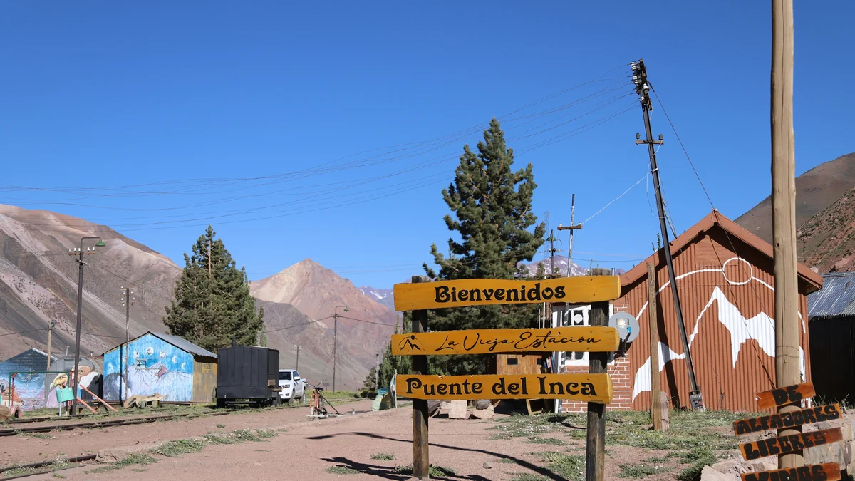
Most visitors do not climb but see the mountain from roadside viewpoints and the Laguna de Horcones, close to the park entrance and ranger station near Puente del Inca. Plaza de Mulas and Plaza Francia are base-camp areas for climbers, and the normal northern route is considered technically straightforward but demanding because of altitude, so climbing is for prepared and acclimatised mountaineers. A private guided visit from Mendoza suits those who prefer to enjoy the Andean scenery along the route without climbing.
See every tour and attraction we cover in Mendoza.