TorontoOntario · 36 tours
 Niagara FallsOntario · 25 tours
 New York CityNew York · 30 tours
 Las VegasNevada · 8 tours
 San FranciscoCalifornia · 16 tours
 VancouverBritish Columbia · 17 tours
 DubaiUAE · 54 tours
 Abu DhabiUAE · 5 tours
 Buenos AiresArgentina · 23 tours
 AthensGreece · 31 tours
 AucklandNew Zealand · 38 tours
 CancunMexico · 54 tours
No destinations match “”. Try searching all tours instead — that search understands full questions, not just place names.
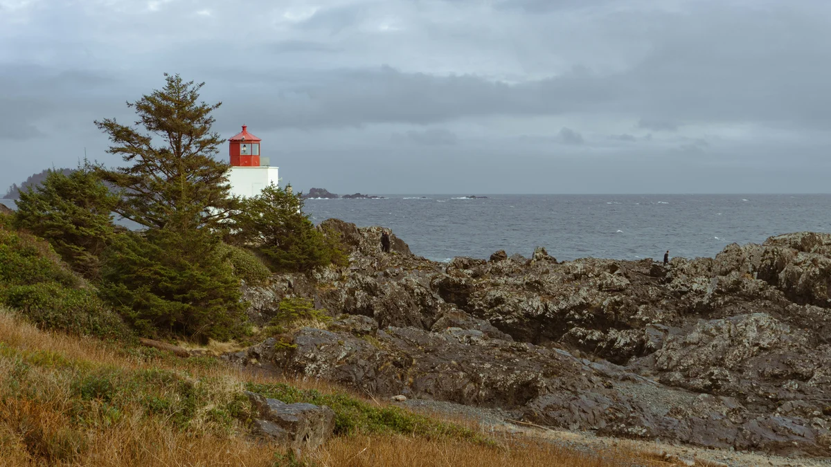
A real, well-maintained coastal boardwalk and trail system in Ucluelet, tracing rugged headlands and old-growth forest above the open Pacific. Built and maintained by a local nonprofit, it genuinely offers some of the most accessible storm-watching and whale-spotting viewpoints on this part of the coast, with sections suitable for a short walk or a longer multi-hour loop.
Visitor guide
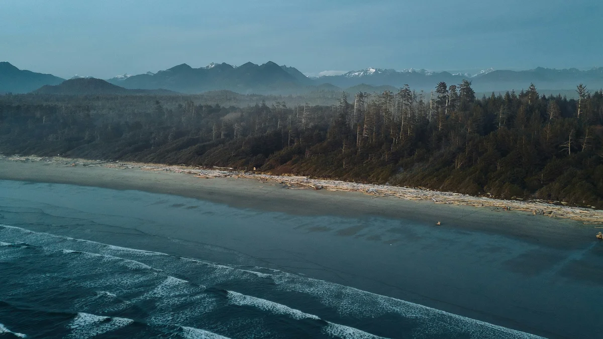
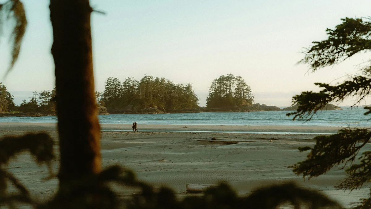
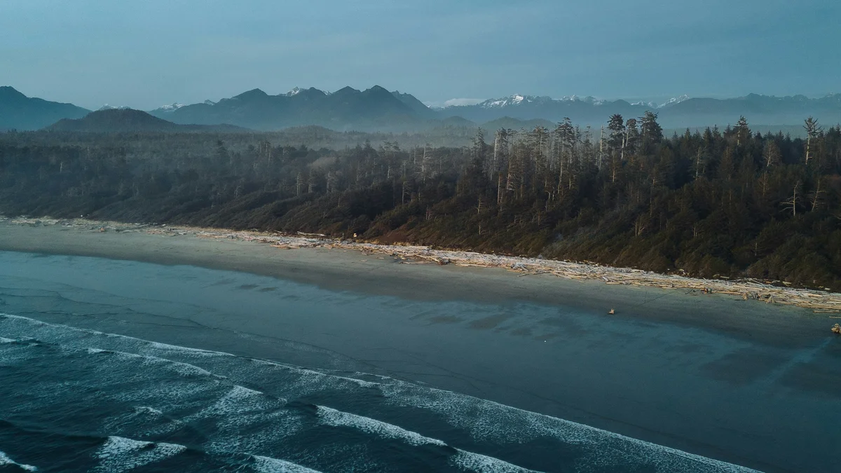
The Wild Pacific Trail follows the rocky western shoreline of the Ucluth Peninsula at Ucluelet on Vancouver Island, linking sections of gravel path, boardwalk and stairs through old-growth coastal rainforest. It looks out over the open Pacific, Barkley Sound and the Broken Group Islands, and it is one of the best-known easy coastal walks on the island.
The trail began with the vision of local resident Jim "Oyster Jim" Martin, and the Wild Pacific Trail Society's own site still credits him as the initiator. It continues to grow through donations to the Society, with private, business and government contributions funding new sections. The Society's website tells the fuller story of how the trail grew section by section.
Ucluelet takes its name from a Nuu-chah-nulth word usually translated as "people of the safe harbour", and the town is the homeland of the Yuułuʔiłʔatḥ (Ucluelet First Nation). The community sits on the western edge of Barkley Sound, roughly 40 km southeast of Tofino. The Amphitrite Point Lighthouse, a landmark on the trail, opened in 1915. The climate is oceanic, with mild, wet winters, and Ucluelet averages roughly 3,350 mm of precipitation a year.
Published lengths vary a little between sources, so treat the figures as approximate. The municipal page and the Society describe the following:
The Lighthouse Loop is about 2.5 km and is described as a 45 to 60 minute walk, with viewpoints, bench lookouts and views of the Amphitrite Lighthouse; it is the usual first-timer's choice. The Big Beach section is about 1 km and starts at the Marine Drive and Matterson Drive intersection, dropping to a picnic area. The Brown's Beach to Ancient Cedars section is about 3 km and begins at a parking lot north of Blackrock Oceanfront Resort. A 0.5 km Artists Loop branches off it and includes five tree forts called Painter Perches, and a roughly 1.5 km extension continues past rocky bluffs into old-growth forest at Ancient Cedars. Some sources describe the whole network as about 8 to 9 km, so rely on the current trail map.
Ucluelet is known for storm watching between roughly November and March, when Pacific swells break against the rock. The trail offers viewpoints and bench lookouts, but waves can be dangerous; stay well back from the shoreline and respect any signs. The municipal page notes possible whale sightings from the rocky shore, and the municipality notes good sunset views from the Lighthouse Loop.
See every tour and attraction we cover in Vancouver Island.