TorontoOntario · 36 tours
 Niagara FallsOntario · 25 tours
 New York CityNew York · 30 tours
 Las VegasNevada · 8 tours
 San FranciscoCalifornia · 16 tours
 VancouverBritish Columbia · 17 tours
 DubaiUAE · 54 tours
 Abu DhabiUAE · 5 tours
 Buenos AiresArgentina · 23 tours
 AthensGreece · 31 tours
 AucklandNew Zealand · 38 tours
 CancunMexico · 54 tours
No destinations match “”. Try searching all tours instead — that search understands full questions, not just place names.
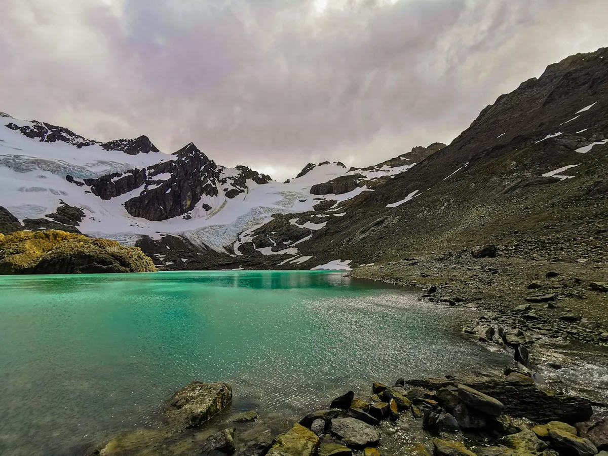
Argentina's southernmost national park, with a Beagle Channel shoreline, near Ushuaia, with lenga forest, peat bogs and views over the Beagle Channel.
 Multi-Day Tours
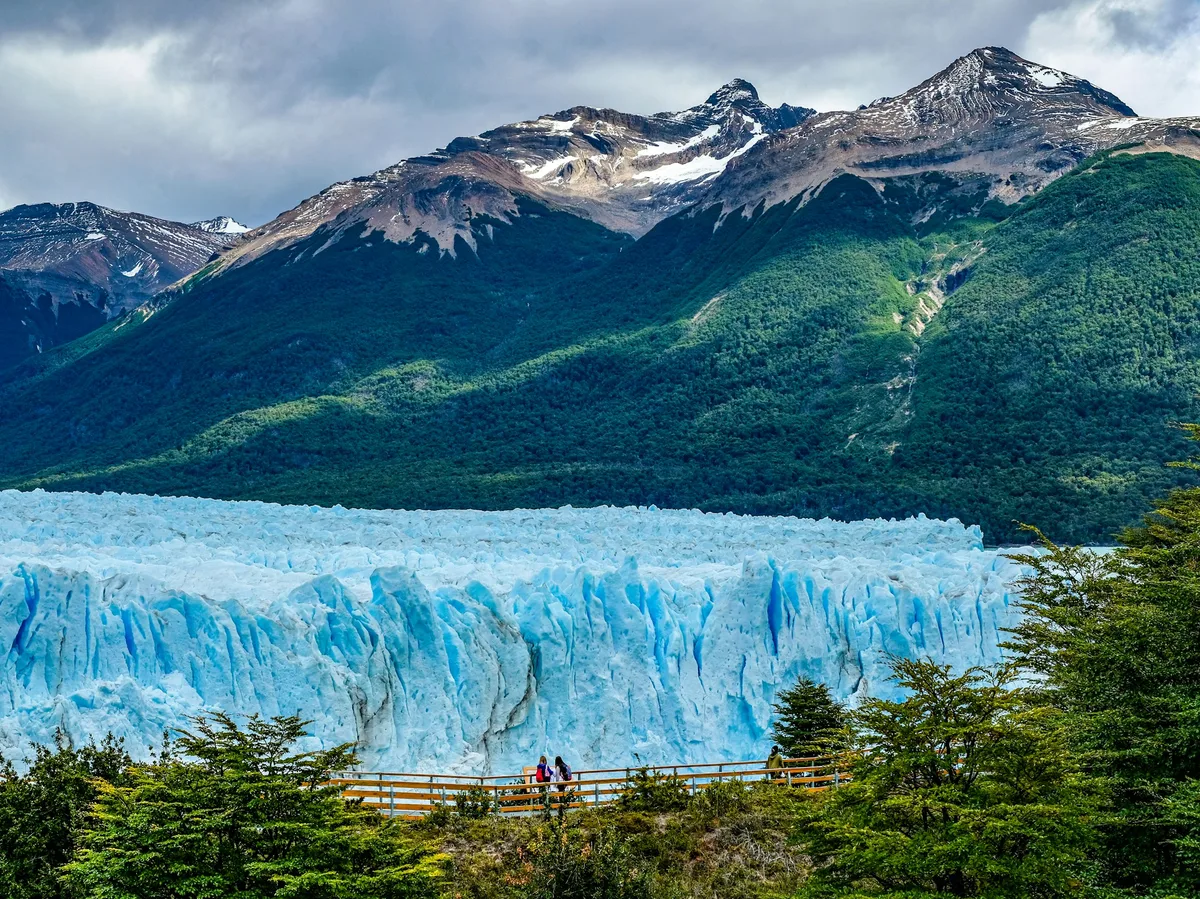
A 12-day private circuit through Argentina's icons — Buenos Aires, glacier boat tours in El Calafate, the Beagle Channel in Ushuaia, and Iguazu Falls (with a day trip to the Brazilian side).
 Multi-Day Tours
A 19-day private odyssey across Argentina — Buenos Aires, Iguazu Falls, Bariloche's Lake District, glacier trekking in El Chaltén and El Calafate, and Ushuaia's Beagle Channel.
 Multi-Day Tours
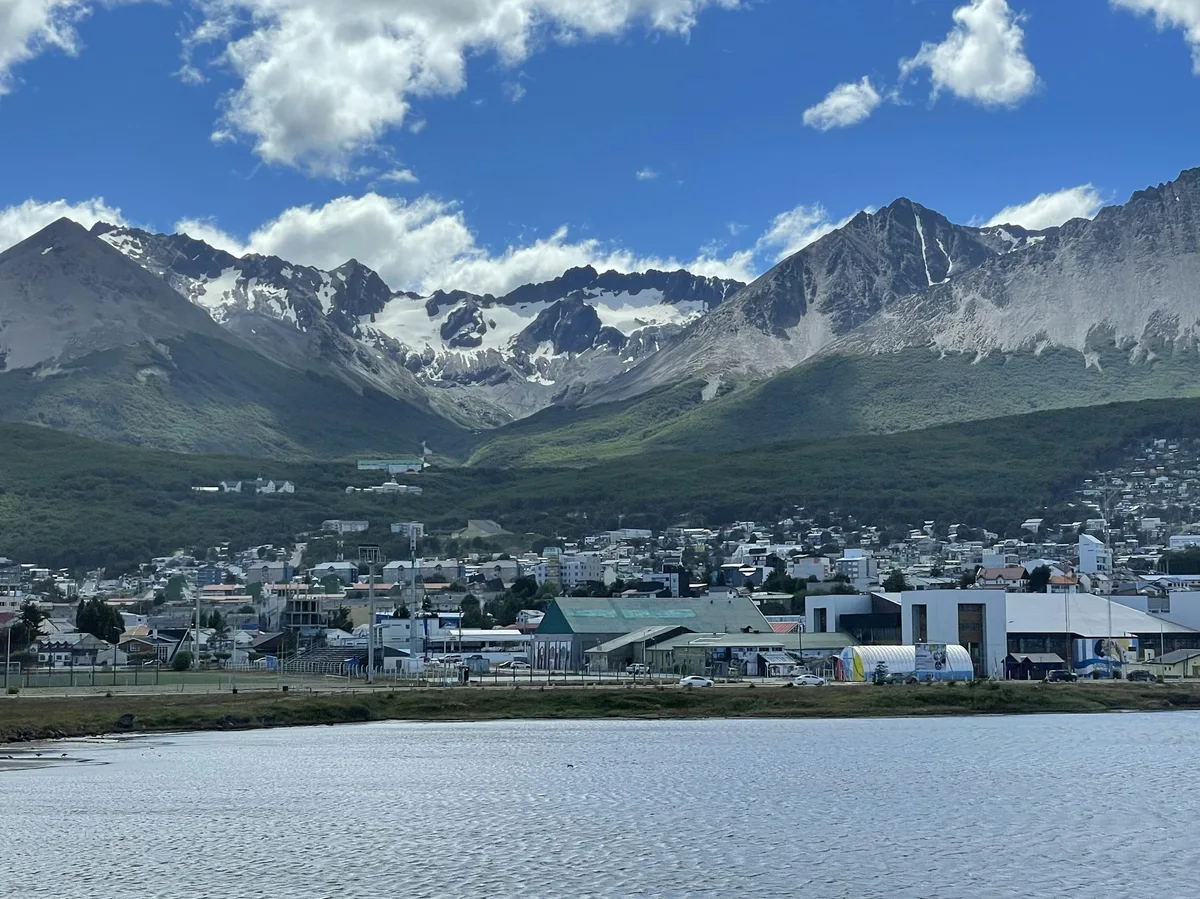
A romantic 15-day private tour from Buenos Aires' tango scene through Ushuaia and Tierra del Fuego, glacier estancias in El Calafate, Salta's Rainbow Mountain, and Iguazu Falls.
Visitor guide
Tierra del Fuego National Park is a protected area on the Argentine part of the island of Tierra del Fuego, about 11 km from the city of Ushuaia. Established in 1960, it stretches along the Beagle Channel to the Chilean border and protects subantarctic forest, lakes, peat bogs and mountains.
According to Wikipedia, the park was established on 15 October 1960 under Law 15.554 and expanded in 1966, and it was the first shoreline national park in Argentina. Argentina's national parks administration gives the park's area as more than 68,000 hectares (roughly 680 square kilometres), though older sources cite about 630 square kilometres. It is listed as an IUCN category II park. The park stretches roughly 60 km north from the Beagle Channel along the Chilean border and includes parts of Lago Fagnano and Lago Roca.
The southern end of the Pan-American Highway lies within the park, and so does the El Parque station of the End of the World Train. The park is approached from Ushuaia by road along National Road 3 or by the southern Fuegian railway.
The landscape is the result of glacial erosion, which carved the bays, beaches, valleys and rugged mountains. The forests are dominated by southern beech species such as lenga, ñire and coihue, with lenga covering mountain slopes up to about 600 m. Above that altitude the vegetation becomes high-Andean shrubs and cushion plants. Peat bogs of sphagnum moss are widespread in damp valleys.
The Beagle Channel, which forms the park's southern shore, is named after HMS Beagle, the ship that carried Charles Darwin in 1833 to 1834. Wikipedia notes that ancient middens left by the Yaghan people can be seen on beaches along the channel.
Lago Fagnano, on the park's northern boundary, is described by Wikipedia as the largest lake in Tierra del Fuego and the southernmost lake of its size outside Antarctica. It lies along an active tectonic boundary between the South American and Scotia plates. The park's mountains, waterfalls and glacier valleys give the coast and lake shores a rugged backdrop, and the combination of sea, forest and peaks is what the park is best known for.
The park has around 20 species of land mammals and about 90 bird species. Native species include guanaco, Andean fox and South American sea lions on the coast, while Andean condors soar above peaks. Birds include the kelp goose, torrent duck, austral parakeet, the southernmost parrot, and the Magellanic woodpecker. Wikipedia also records that introduced beavers, muskrats and European rabbits spread rapidly and caused significant environmental damage.
The Senda Costera, or Coastal Path, links Ensenada Bay and Lapataia Bay on the Beagle Channel and is a popular trail. Weather here is cool and changeable even in summer, so layers and waterproofs are sensible. A private guided visit from Ushuaia suits the park because its sights, from the channel shore to the lakes, are spread over several access points.
See every tour and attraction we cover in Argentina.