TorontoOntario · 36 tours
 Niagara FallsOntario · 25 tours
 New York CityNew York · 30 tours
 Las VegasNevada · 8 tours
 San FranciscoCalifornia · 16 tours
 VancouverBritish Columbia · 17 tours
 DubaiUAE · 54 tours
 Abu DhabiUAE · 5 tours
 Buenos AiresArgentina · 23 tours
 AthensGreece · 31 tours
 AucklandNew Zealand · 38 tours
 CancunMexico · 54 tours
No destinations match “”. Try searching all tours instead — that search understands full questions, not just place names.
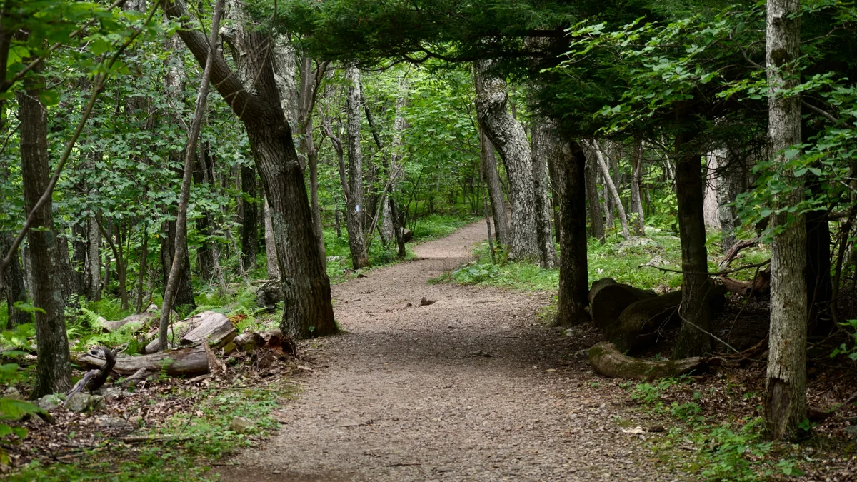
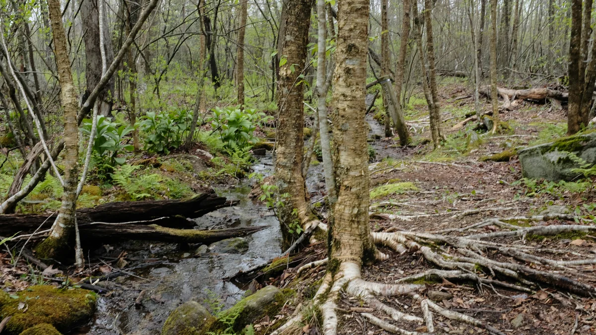
This narrow, winding 5.5-mile one-way loop road near Gatlinburg threads through some of the Smokies' old-growth forest, following the tumbling Roaring Fork stream past moss-covered boulders and several preserved historic homesteads and cabins. Its narrow, winding road is closed to buses, trailers and motor homes, which helps preserve the slow, quiet pace that makes it a favorite alternative to the park's busier main roads.
Visitor guide
The Roaring Fork Motor Nature Trail is a 5.5-mile, one-way loop road through forest in Great Smoky Mountains National Park, reached from Gatlinburg, Tennessee. Narrow and winding, it follows Roaring Fork, one of the park's larger and faster-flowing mountain streams, and passes preserved log buildings and trailheads.
The National Park Service describes the road as narrow, winding and one-way, with pull-offs for views of rushing streams and glimpses of old-growth forest. The stream is named for its power, which grows especially strong after heavy rain. From Gatlinburg, the park directs drivers to turn off the main parkway at traffic light 8 and follow Historic Nature Trail Road toward the Cherokee Orchard entrance.
An auto-tour guide is available at a visitor center, and a numbered booklet at a roadside kiosk near the start matches numbered parking areas along the loop. The park does not allow buses, trailers or motor homes, and parking demand often exceeds capacity, so keep all four wheels off the roadway and avoid marked no-parking areas. Wikipedia notes that the road climbs Piney Mountain to an overlook at roughly 3,000 feet.
Roaring Fork begins near 5,000 feet on the northern slopes of Mount Le Conte, where several springs come together. Over about two miles it drops roughly 2,500 feet, passes Grotto Falls and finally joins the West Fork of the Little Pigeon River at the northern edge of Gatlinburg. Wikipedia describes it as a stream that can be a trickle on most days and a whitewater torrent after a mild rain. The valley's bedrock is Precambrian sandstone, and the boulders weathered from it were stacked by farmers into the rock walls that can still be seen. Tuliptrees, which quickly reclaim cleared ground, are a clue to where old homesteads stood.
The roadside buildings are the remains of a farming community. Wikipedia says permanent settlers reached the White Oak Flats area around 1800 to 1810, and that Richard Reagan (1776-1829), who settled near LeConte Creek, had children and grandchildren who moved up to Roaring Fork, then called Spruce Flats. The Bales family had settled the upper valley by the 1830s or earlier, and the two families intermarried. Around 1850 residents built a crude road toward White Oak Flats, and by 1900 the hamlet had a school, a church, a general store and tub mills. With the creation of the national park in the 1930s, the stores and most of the houses were dismantled, according to a park-history summary.
Before the loop, the Noah "Bud" Ogle Self-Guiding Nature Trail is a short walk through a mountain farmstead and hardwood forest. Sources say Noah Ogle (1863-1913) and his wife Cindy settled their homestead in 1879. The saddlebag-style cabin, barn and tub mill remain, and the Ogle Place is listed on the National Register of Historic Places, according to Wikipedia. Gatlinburg tourism material also describes the family's handmade wooden flume that carried water to the mill.
Along the drive, the park highlights well-preserved log cabins, gristmills and other historic buildings that show how mountain families lived. The Ephraim Bales place is a double "dogtrot" cabin, two rooms joined by an open passage under one roof, with a corn crib, hog pen and barn nearby; Ephraim (1867-1936) and his brother Jim (1869-1939) inherited land from their father, Caleb. The Jim Bales place keeps its barn and corn crib along with the Alex Cole Cabin, which was moved there from the Sugarlands area. The Alfred Reagan place has a saddlebag cabin and a small tub mill; Reagan is described as a blacksmith who ran a general store and was a part-time preacher. Construction dates for several cabins vary by source.
Two trailheads sit near the drive. The Rainbow Falls trail starts just beyond the Ogle farmstead and is a moderately strenuous 5.4-mile round trip with a steep ascent. The Trillium Gap trail, about two miles into the drive, leads to Grotto Falls and on toward Mount Le Conte, though parking is very limited; Wikipedia says Horace Albright named Trillium Gap in the 1920s. Near the end of the loop, the Place of a Thousand Drips is a waterfall pouring over a rock wall that can be seen from the road and, according to one visitor guide, is best seen when the water is high.
The road is not open all year, and parking tags cannot be bought in this area, so get one beforehand. Check the National Park Service for current road status, closures and permits.
Voyzo runs this as a private tour, with your own vehicle and driver and door-to-door pickup, so you can set the pace and spend as long as you like at each stop. The narrow road and limited parking make having a driver a real convenience.
See every tour and attraction we cover in Great Smoky Mountains National Park.