TorontoOntario · 36 tours
 Niagara FallsOntario · 25 tours
 New York CityNew York · 30 tours
 Las VegasNevada · 8 tours
 San FranciscoCalifornia · 16 tours
 VancouverBritish Columbia · 17 tours
 DubaiUAE · 54 tours
 Abu DhabiUAE · 5 tours
 Buenos AiresArgentina · 23 tours
 AthensGreece · 31 tours
 AucklandNew Zealand · 38 tours
 CancunMexico · 54 tours
No destinations match “”. Try searching all tours instead — that search understands full questions, not just place names.
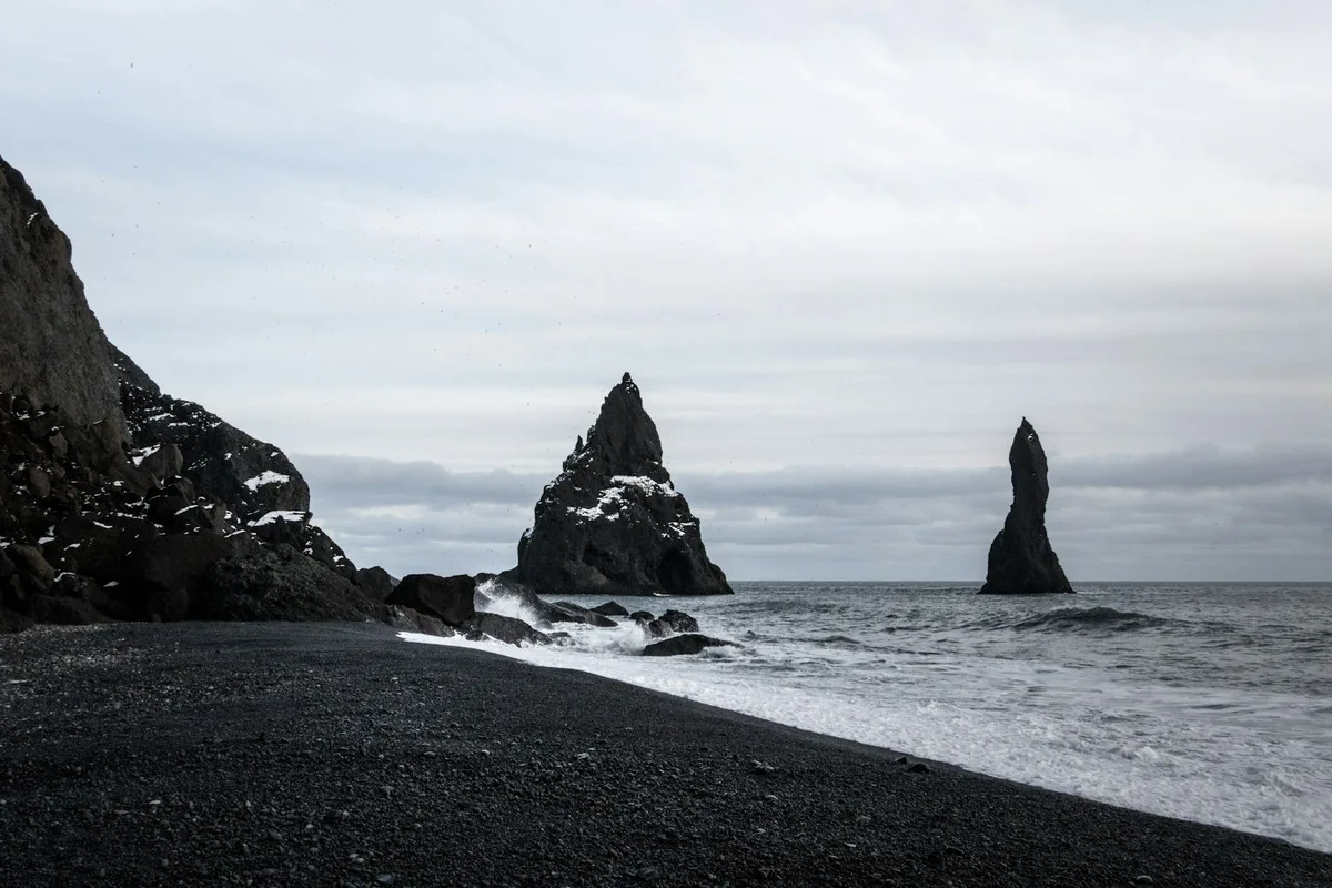
A black volcanic sand beach on the south coast near Vik, backed by hexagonal basalt columns and facing the Reynisdrangar sea stacks, known for its powerful and unpredictable waves.
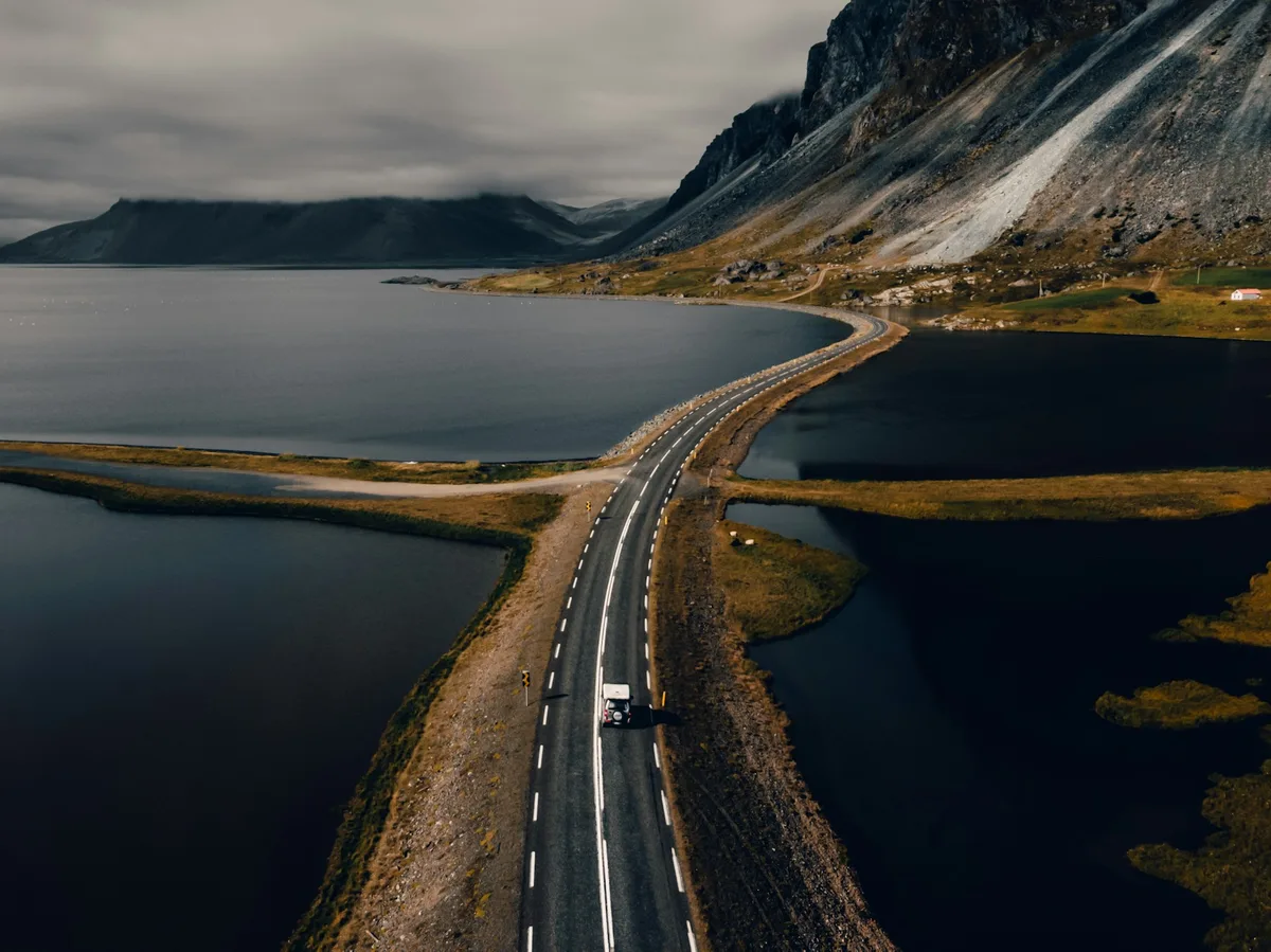 Multi-Day Tours
A 7-day circuit from the Golden Circle's geysers and Gullfoss down the South Coast to Jokulsarlon Glacier Lagoon, through the Eastfjords to Lake Myvatn's geothermal fields, and back to Reykjavik via Akureyri.
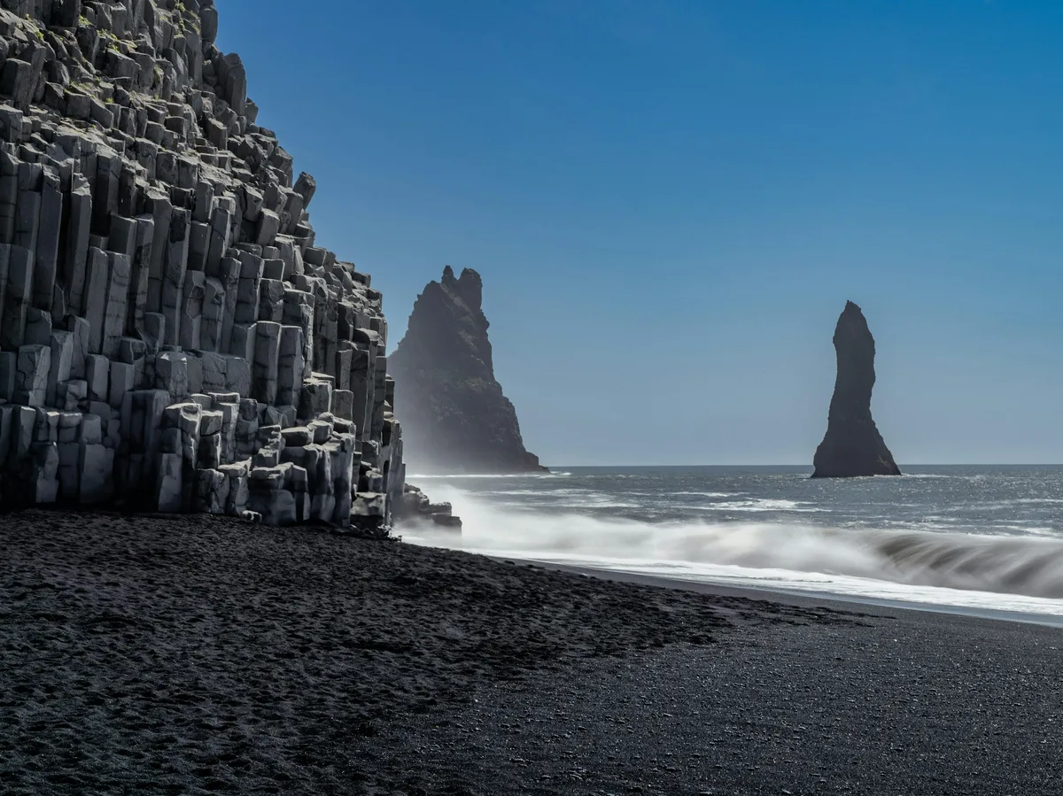 Multi-Day Tours
A 7-day route from Reykjavik along the South Coast to Jokulsarlon, with a ferry crossing to the Westman Islands' puffin colonies, the Golden Circle, and a finish on the volcanic Reykjanes Peninsula.
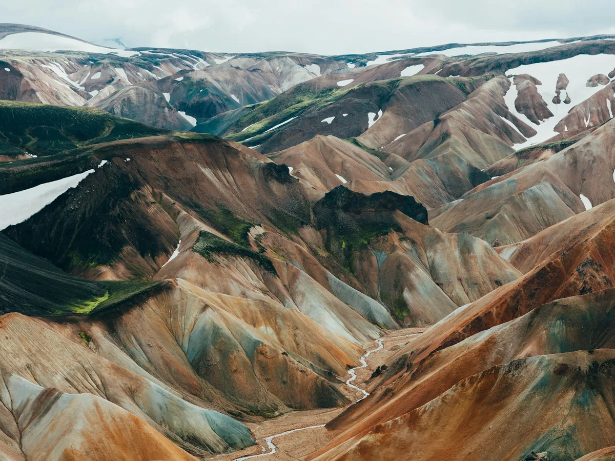 Multi-Day Tours
An 8-day hiking-focused route from the Golden Circle to the rhyolite mountains of Landmannalaugar, the South Coast's waterfalls and glaciers, and the birch-forested valley of Thorsmork, finishing with the Reykjanes Peninsula.
Visitor guide
Reynisfjara is a black sand beach in southern Iceland, near the town of Vik i Myrdal. It lies between the Dyrholaey promontory and the mountain Reynisfjall, is part of the Katla UNESCO Global Geopark, and sits on privately owned land.
The beach is known for its dark volcanic sand and for columnar basalt, including the Gardar cliff with angular columns that resemble a church organ. The geopark's own site notes that fishermen once launched open boats from the beach. At the eastern end is Halsanefshellir Cave, framed by basalt columns. Travel sources compare these vertical columns with those of Fingal's Cave on Staffa, and note that two similar sea caves exist on the beach, which some websites confuse. Column heights are reported to vary from about half a metre to around twenty metres.
Offshore rise the Reynisdrangar sea stacks. Geologically, their bases are columnar basalt, with the tuff that once surrounded them largely eroded away except for a small amount at the top, and they were most likely part of the headland. Folklore gives them an origin story. In the most common version, trolls dragging a three-masted ship toward the shore took too long and were turned to stone at the break of dawn. Another version involves a prince, a merchant ship and a troll refused passage. These tales are legend, and versions differ.
The Eyjafjallajokull volcano is visible from the beach on clear days. The Katla UNESCO Global Geopark was inscribed in 2011 and revalidated in 2021, according to a geopark report. The same report counted 446,044 visitors to the Reynisfjara geosite in 2024.
The geopark and Wikipedia both stress that the North Atlantic here is powerful. Wikipedia describes unpredictable sneaker waves that can surge far up the beach without warning, linked to swell trains converging over a submerged offshore ledge, and advises caution. The geopark's guidance is never to turn your back on the waves and to keep a distance from the water. A local guide can explain the safe zones and conditions on the day.
Reynisfjara lies at the foot of Reynisfjall, the mountain beside the village of Vik, with the Dyrholaey promontory to the west. The area sits within the Katla UNESCO Global Geopark, named after the Katla volcano under the Myrdalsjokull glacier. The geopark describes the beach as lying between the peninsula of Dyrholaey and Mount Reynisfjall. Eyjafjallajokull is visible from the beach on clear days.
Folk belief also holds that if you listen near the cliffs, you can hear the wails of the trolls as they long for their home in the mountains. As with the other stories, this is folklore, not documented fact.
Reynisfjara is near the village of Vik on the South Coast. A private guided visit with a driver suits a day that also includes Skogafoss and Seljalandsfoss.
See every tour and attraction we cover in Iceland.