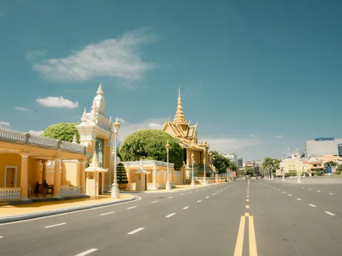
TorontoOntario · 36 tours
 Niagara FallsOntario · 25 tours
 New York CityNew York · 30 tours
 Las VegasNevada · 8 tours
 San FranciscoCalifornia · 16 tours
 VancouverBritish Columbia · 17 tours
 DubaiUAE · 54 tours
 Abu DhabiUAE · 5 tours
 Buenos AiresArgentina · 23 tours
 AthensGreece · 31 tours
 AucklandNew Zealand · 38 tours
 CancunMexico · 54 tours
No destinations match “”. Try searching all tours instead — that search understands full questions, not just place names.
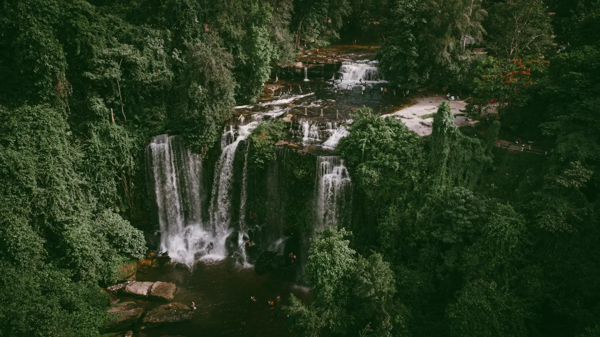
A forested mountain plateau considered the birthplace of the ancient Khmer Empire, where King Jayavarman II declared independence in the 9th century, now protecting waterfalls, river carvings, and sacred sites.
Visitor guide
Phnom Kulen National Park is a protected area in Svay Leu District, Siem Reap Province, Cambodia, covering the forested Kulen mountain massif about 48 kilometres from Siem Reap. Regarded as a sacred mountain and as the cradle of the Khmer Empire, it protects waterfalls, ancient temples and riverbed carvings.
During the Khmer Empire the area was known as Mahendraparvata, which translates roughly as Mountain of Great Indra. Wikipedia states that King Jayavarman II was declared chakravartin, or King of Kings, here, an event the article treats as the foundation of the empire. Tradition places this in the early 9th century. The plateau remains a pilgrimage destination for Cambodians.
The park was established in 1993 and covers 373.76 square kilometres. It is classified as an IUCN Category II national park, and its official name is Jayavarman-Norodom Phnom Kulen National Park. Sandstone from the Kulen hills was the main building material for the temples of Angkor, which lie to the south.
The French scholar Philippe Stern visited in 1936 and described the temple of Rong Chen as the first temple-mountain. Jean Boulbet and Bruno Dagens published the foundational archaeological inventory and mapping in 1973 and 1979. In June 2013 a team announced that LiDAR survey had revealed the layout of the ancient city of Mahendraparvata beneath jungle and earth, including 30 previously unknown temples. The Archaeology and Development Foundation has run the Phnom Kulen Program since 2008, combining archaeology with sustainable development for local communities.
The park's waterfalls are a popular stop. The first is about 4 to 5 metres tall and 25 metres wide in the rainy season, and the second is about 15 to 20 metres tall and 15 metres wide, with sizes varying with the season and rainfall. A Garuda sculpture leads up to Wat Preah Ang Thom, a Buddhist pagoda on the mountain, and a 9th-century statue of Indra was found at the temple of Prasat Koki.
Within the park, on the southwest slopes of the Kulen hills about 25 kilometres northeast of the main Angkor monuments, lies Kbal Spean, whose name means Bridge Head. Its riverbed and rock are carved with rows of small lingams, each about 25 centimetres square, lying beneath a shallow sheet of flowing water, as well as images of Vishnu reclining on the serpent Ananta and other Hindu deities. The carving spans the 11th and 12th centuries, mostly under Udayadityavarman II. Local belief holds that the river, sanctified as it flows over the lingas, blesses the waters that reach Angkor. The carvings are most visible just after the monsoon, when the water level drops. Jean Boulbet discovered the site in 1969.
Phnom Kulen is cooler and greener than the plains below, and a day here combines forest walking with temple and waterfall visits. Conditions vary with the season, so a private guided trip allows the route to be shaped around the weather.
See every tour and attraction we cover in Cambodia.