TorontoOntario · 36 tours
 Niagara FallsOntario · 25 tours
 New York CityNew York · 30 tours
 Las VegasNevada · 8 tours
 San FranciscoCalifornia · 16 tours
 VancouverBritish Columbia · 17 tours
 DubaiUAE · 54 tours
 Abu DhabiUAE · 5 tours
 Buenos AiresArgentina · 23 tours
 AthensGreece · 31 tours
 AucklandNew Zealand · 38 tours
 CancunMexico · 54 tours
No destinations match “”. Try searching all tours instead — that search understands full questions, not just place names.
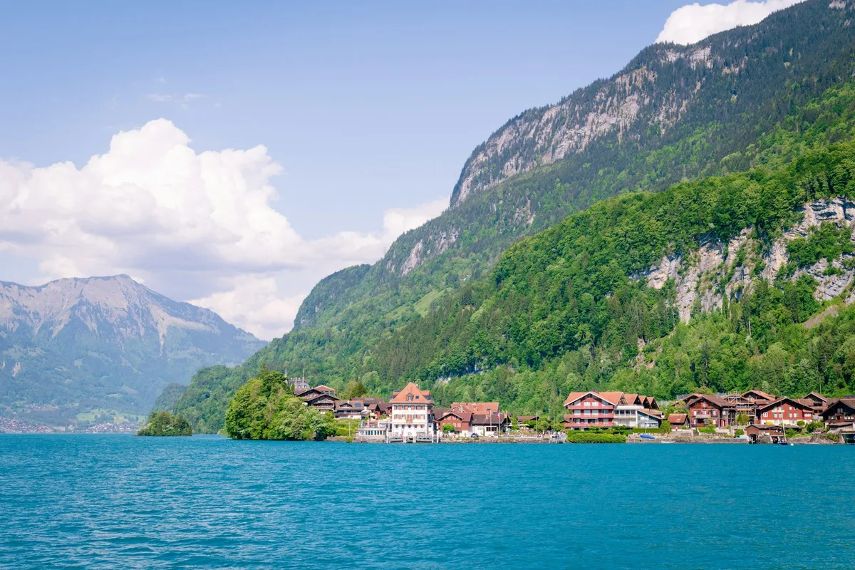
A turquoise glacial lake beside Interlaken, ringed by lakeside villages and cliffs, popular for kayaking and boat trips past Ringgenberg Castle.
Visitor guide
Lake Brienz is a lake in the canton of Bern, Switzerland, in the Bernese Highlands just north of the Alps. It lies beside the resort town of Interlaken, with the village of Brienz at its eastern end, and is fed by the upper Aare River.
The lake surface is at 564 metres above sea level. It is about 14 kilometres long and at most 2.8 kilometres wide, with a surface area of 29.8 square kilometres. The maximum depth is 260 metres and the average depth 173 metres. Wikipedia gives its water volume as 5.17 cubic kilometres, drawn from a catchment area of 1,127 square kilometres, and a residence time of 2.69 years.
The upper Aare feeds the lake at its eastern end and the Aare also drains it at the western end. The Giessbach enters on the southern shore, fed by steep forested hills rising more than 2,000 metres above the lake. Both headwaters of the Lütschine, the Schwarze Lütschine from Grindelwald and the Weisse Lütschine from the Lauterbrunnen Valley, join at the southwestern corner. The culminating point of the drainage basin is the Finsteraarhorn at 4,274 metres.
Brienz gives the lake its name and lies on the northern shore. Bönigen is on the Bödeli, the land tongue that separates Lake Brienz from Lake Thun, and Interlaken sits on the Aare between the two lakes. Iseltwald is on the south shore, and Ringgenberg, Niederried and Oberried are on the north shore.
Ringgenberg Castle stands on rocky heights above the lake. Wikipedia reports that the heights were fortified in the Late Bronze Age, the castle was built in the 12th century probably in several stages, and it first appears in records in 1240. In 1381 troops from Uri burned and plundered it, and by 1386 the castle and lands passed to Bern. It remains a ruin, and in 1670 a village church was built within its walls by architect Abraham Dunz, incorporating the castle walls and a tower. The site is a Swiss heritage site of national significance.
Passenger ships have run on the lake since 1839, and BLS AG operates the passenger ships today. They link Interlaken Ost with Brienz and other lakeside villages, and connect to the Giessbachbahn funicular, which climbs to the Giessbach Falls. The Brünig railway and a local road follow the northern shore.
The lake is poor in nutrients, so fishing is not very important. The setting, with steep forested slopes and surrounding peaks, gives the water a distinctive character that draws visitors.
Wikipedia notes that steep, forested hills rise more than 2,000 metres above the lake, including the Faulhorn and Schwarzhorn, and that the Giessbach feeds from these slopes. The A8 motorway runs mostly in tunnels above the southern shore.
A private guide can combine the lake with Interlaken, Brienz and Giessbach in a single day, and a private vehicle and driver can handle the lakeside roads while you board boats where you prefer.
See every tour and attraction we cover in Switzerland.