TorontoOntario · 36 tours
 Niagara FallsOntario · 25 tours
 New York CityNew York · 30 tours
 Las VegasNevada · 8 tours
 San FranciscoCalifornia · 16 tours
 VancouverBritish Columbia · 17 tours
 DubaiUAE · 54 tours
 Abu DhabiUAE · 5 tours
 Buenos AiresArgentina · 23 tours
 AthensGreece · 31 tours
 AucklandNew Zealand · 38 tours
 CancunMexico · 54 tours
No destinations match “”. Try searching all tours instead — that search understands full questions, not just place names.
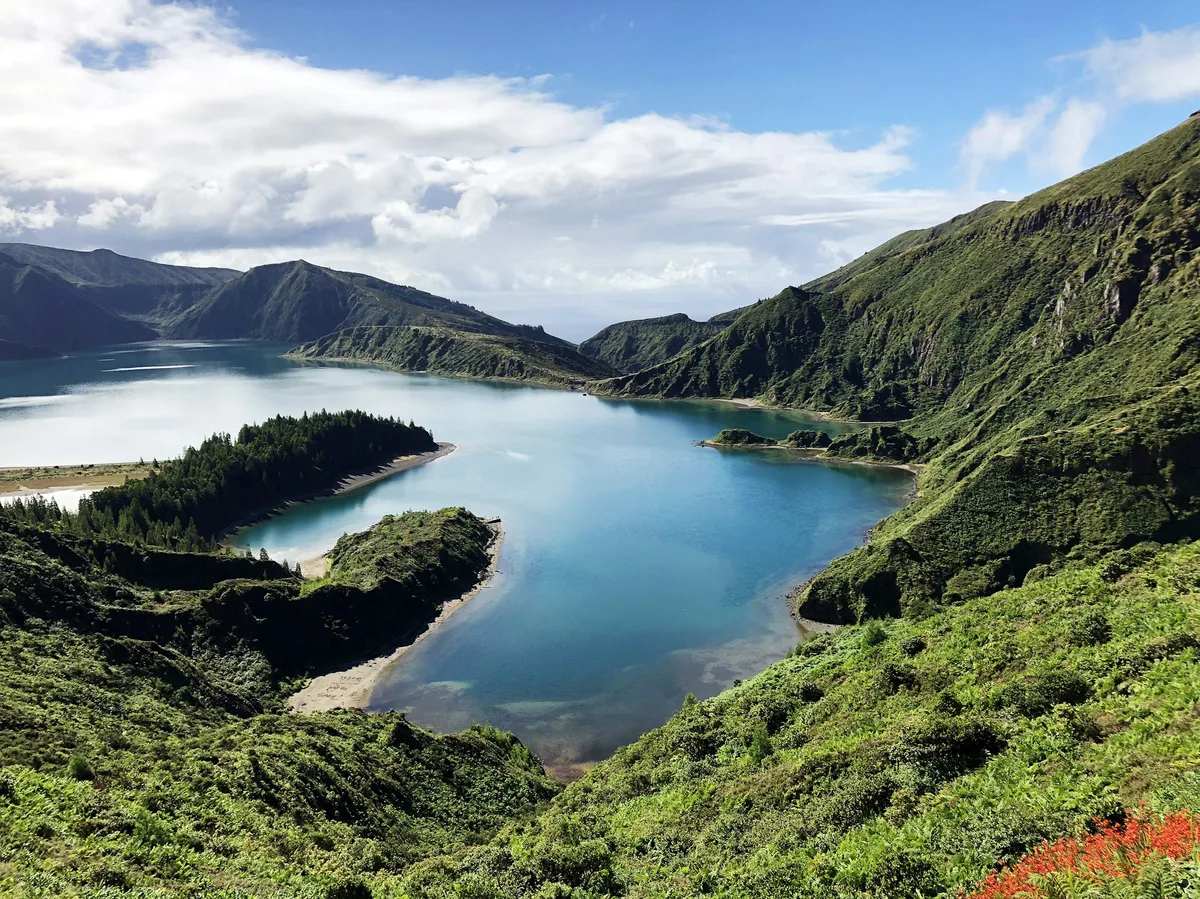
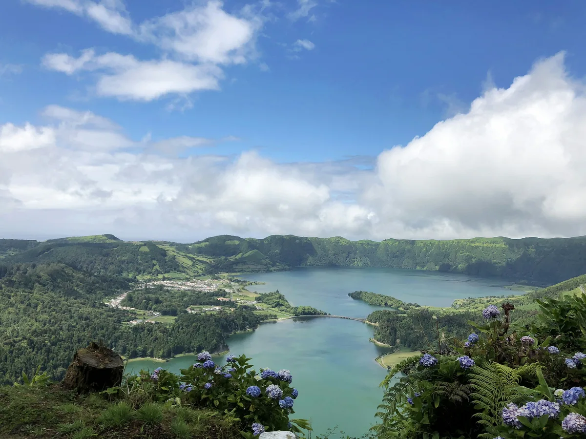
A pristine crater lake sitting inside a protected nature reserve at the heart of São Miguel, reached along the winding EN5-2 mountain road, with viewpoints above the lake and walking trails down to it.
Visitor guide
Lagoa do Fogo, meaning Lake of Fire, is a crater lake in the centre of Sao Miguel Island in the Azores, Portugal. It lies inside a protected nature reserve in the Agua de Pau Massif and is described by Wikipedia as the highest lake on the island.
The lake occupies the central caldera of the Agua de Pau Massif, a stratovolcano that Wikipedia calls the youngest volcano on Sao Miguel. The source gives conflicting dates, saying the caldera formed about 15,000 years ago while the summit collapse occurred about 5,000 years ago. The last recorded eruption in the massif was in 1563. The lake is elliptical, roughly 3 by 2.5 kilometres, with a maximum depth of about 30 metres, and its margins sit around 575 metres above sea level. The crater rim, which extends to Pico da Barrosa, reaches about 949 metres, and the inner slopes are steep, with cliffs near 48 degrees.
The lake is fed mainly by rain falling directly on the caldera and by runoff from surrounding slopes. Most watercourses are temporary, with peak runoff in winter and low flow in summer, and only two permanent outflows exist. The watershed covers about 21.8 square kilometres and supports local aquifers and supplies drinking water to settlements on the caldera's southern flanks. No human settlements exist inside the crater.
Lagoa do Fogo has been protected since 1974, when a decree established the Reserva da Lagoa do Fogo covering about 2,182 hectares. A regional nature reserve was created in 1982, part of the area was classified under the Natura 2000 network, and in 2008 the reserve was integrated into the Nature Park of Sao Miguel. Construction around the lake is prohibited.
The west and south of the crater are covered in brush and scrub, while the gentler east and north slopes carry denser vegetation and some forest. Endemic Azorean plants include Azores juniper, Azores laurel, Azores heather and Azorean St John's wort. Birds include the Azores wood pigeon, the Azorean buzzard, the grey wagtail and the Azorean blackbird, along with yellow-legged gulls and common terns at the lake.
The reserve's land is divided into parcels, with about 61 hectares noted as forested production land and endemic Macronesian species, and since 2001 the caldera and lake have formed part of the Natura network under the European Habitats Directive. A sedimentary beach with little vegetation lies between the crater wall and the lake's northern margin, and heavy rain causes significant erosion and sediment deposition along the lake edges. The setting is wild rather than developed, which is much of its appeal.
The lake lies across the boundaries of several parishes, including Conceicao and Matriz in the municipality of Ribeira Grande and Agua de Alto in Vila Franca do Campo, and it is also associated with the municipality of Lagoa. The surrounding crater walls rise steeply, so the lake appears enclosed from the rim, and Wikipedia notes the reserve's strict protection from building. For visitors, this means a landscape that looks much as the volcano left it.
Because the lake sits high in the island's interior, weather and cloud cover can change quickly. A private driver and guide can help match a visit to conditions on the day and explain the reserve's volcanic and ecological background.
See every tour and attraction we cover in Azores.