TorontoOntario · 36 tours
 Niagara FallsOntario · 25 tours
 New York CityNew York · 30 tours
 Las VegasNevada · 8 tours
 San FranciscoCalifornia · 16 tours
 VancouverBritish Columbia · 17 tours
 DubaiUAE · 54 tours
 Abu DhabiUAE · 5 tours
 Buenos AiresArgentina · 23 tours
 AthensGreece · 31 tours
 AucklandNew Zealand · 38 tours
 CancunMexico · 54 tours
No destinations match “”. Try searching all tours instead — that search understands full questions, not just place names.
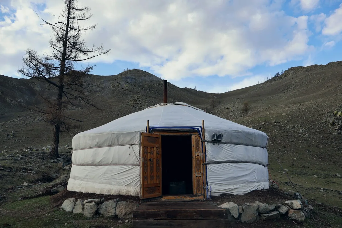
A central Mongolian mountain range around the Orkhon Valley, dotted with nomadic ger camps, the ancient capital of Karakorum, and remote monasteries like Tovkhon.
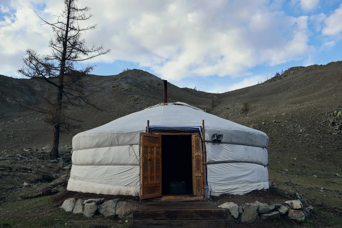 Multi-Day Tours
A 12-day route through the Khangai Mountains — Karakorum's ancient capital, the Great White Lake and Khorgo volcano, remote nomadic herder villages, and a Mini Gobi camel ride near Elsen Tasarkhai.
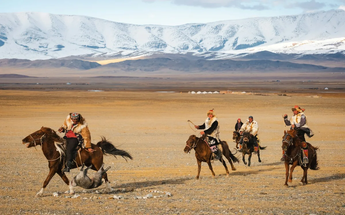 Multi-Day Tours
A 14-day route pairing the South Gobi's Flaming Cliffs and singing sand dunes with the Khangai Mountains' Orkhon Valley, remote monasteries, and Hustai National Park's wild horses.
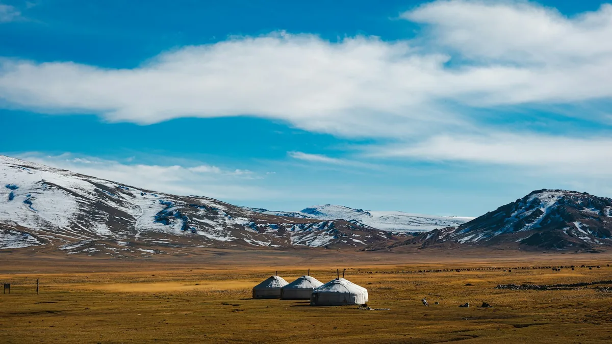 Multi-Day Tours
A 20-day, full-country traverse — Khövsgöl Lake in the far north, the Orkhon Valley and Khangai Mountains, and the South Gobi's Flaming Cliffs and Khongor dunes, ending at Gorkhi-Terelj.
Visitor guide
The Khangai Mountains are a range in central Mongolia, about 400 kilometres west of Ulaanbaatar. They surround the Orkhon Valley, a UNESCO World Heritage cultural landscape that holds the ruins of Karakorum, the Erdene Zuu Monastery and the hermitage of Tovkhon.
According to Wikipedia, the Khangai range crosses the Arkhangai, Ovorkhangai, Bayankhongor and Zavkhan provinces. Its highest peak, Otgontenger, rises to about 4,031 metres and is revered by Mongols, who hold state ceremonies there. The mountains feed the Orkhon, Selenge, Ider and Zavkhan rivers, as well as lakes such as Orog and Boon Tsagaan. Microclimates in the range are comparatively mild, with winters less harsh than elsewhere in Mongolia, which has long suited nomadic herders.
The plains at the eastern foot of the range are described as the cradle of Mongolian and nomadic civilization. UNESCO inscribed the Orkhon Valley Cultural Landscape in 2004, citing more than two thousand years of nomadic pastoral tradition; the core area covers 121,967 hectares. Early empires including the Xiongnu, Xianbei, Rouran and Uyghur Khaganate are linked to capitals in this region. Eighth-century Turkic memorials to Bilge Khan and Kul Tigin, bearing Orkhon inscriptions, were found by Russian archaeologists in 1889 and deciphered by Vilhelm Thomsen in 1893. The ruins of Ordu-Baliq, an Uyghur capital, cover roughly 50 square kilometres.
Karakorum served as capital of the Mongol Empire from 1235 to 1260. Genghis Khan gathered troops there around 1218 to 1219, and his successor Ogedei built the city walls and palace. The Flemish friar William of Rubruck visited in 1254 and described a cosmopolitan town with Muslim and Chinese quarters, temples, mosques and a Nestorian church. Ming armies razed the city in 1372 and 1380. In 1585 Abtai Sain Khan used stones from the ruins to build Erdene Zuu Monastery, intended to have an outer wall with 108 stupas. Wikipedia reports it was damaged in 1939 during Mongolia's anti-religious purge, and three small temples and the wall survived. It reopened for worship in 1990 and today is both a monastery and a museum.
Tovkhon Monastery sits at about 2,600 metres on a forested mountain roughly 47 kilometres southwest of Kharkhorin. Zanabazar, the first Jebtsundamba Khutuktu, established it in 1648 as a retreat and reportedly used it for around 30 years; he developed the soyombo script there. The Oirat Mongols destroyed it in 1688, it was restored in 1773 and suffered again in the late 1930s purges. Religious activity resumed in 1992, and the hermitage lies within the Orkhon Valley Cultural Landscape that UNESCO inscribed in 2004.
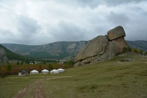
The valley also features the Ulaan Tsutgalan waterfall, about 10 metres wide and 20 metres high, which can dry up or freeze in winter. Ger camps and herding families dot the grassy slopes. A private guided journey is a practical way to cover the long distances between the range, Kharkhorin and the monasteries.
See every tour and attraction we cover in Mongolia.