TorontoOntario · 36 tours
 Niagara FallsOntario · 25 tours
 New York CityNew York · 30 tours
 Las VegasNevada · 8 tours
 San FranciscoCalifornia · 16 tours
 VancouverBritish Columbia · 17 tours
 DubaiUAE · 54 tours
 Abu DhabiUAE · 5 tours
 Buenos AiresArgentina · 23 tours
 AthensGreece · 31 tours
 AucklandNew Zealand · 38 tours
 CancunMexico · 54 tours
No destinations match “”. Try searching all tours instead — that search understands full questions, not just place names.
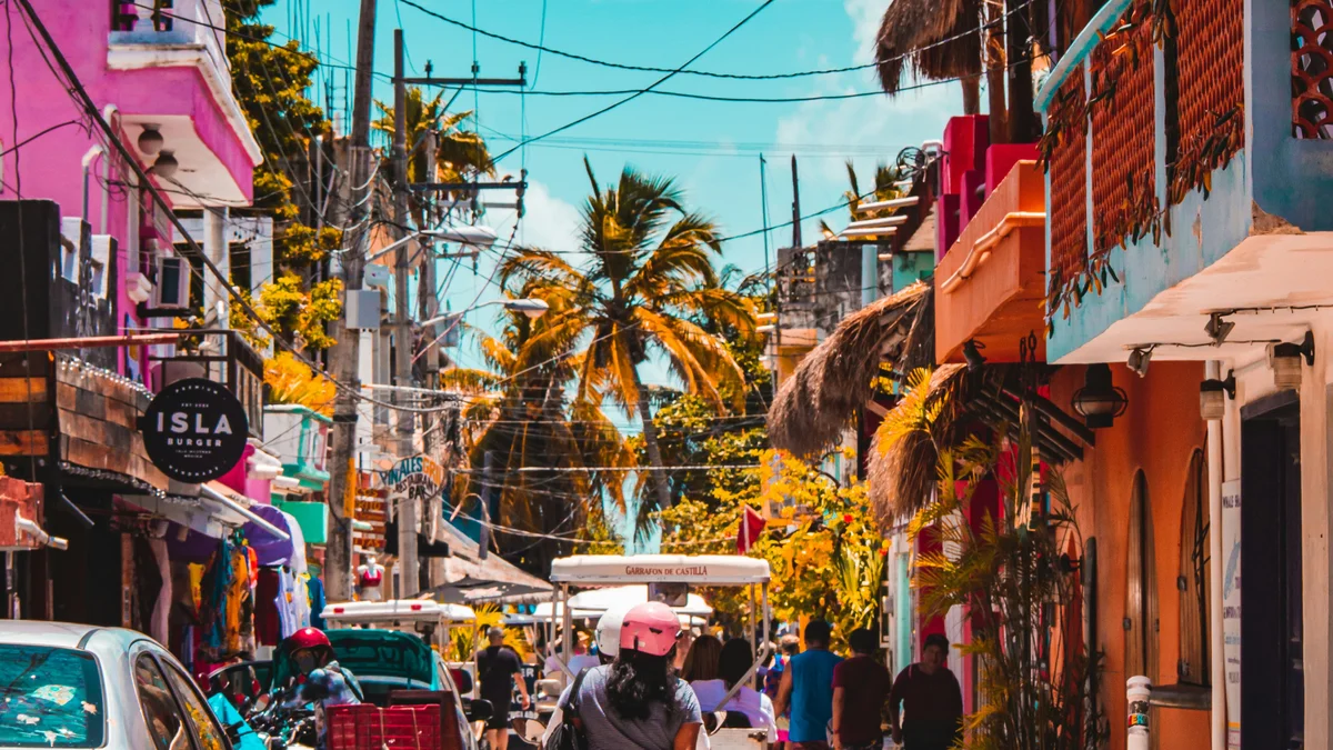
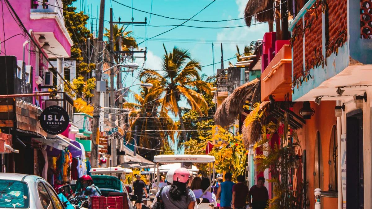
Isla Mujeres Centro is the island's real downtown core, a compact grid of colorful streets, local shops, and golf-cart traffic centered around Avenida Miguel Hidalgo.
Visitor guide
Isla Mujeres Centro, or El Centro, is the downtown of the town of Isla Mujeres, on a small island in the Caribbean off the coast of Quintana Roo, Mexico. Located at the northern end of the island, it is the centre of dining, shops and nightlife, and it is where the ferries arrive.
Wikipedia says the island is about 7 kilometres long and 650 metres wide, and it lies about 13 kilometres off the Yucatan coast where the Gulf of Mexico meets the Caribbean. The central axis of downtown is Hidalgo Street, the main dining and entertainment area, which another source describes as pedestrian-oriented and lined with open-air bars, seafood restaurants and souvenir shops. The island had 12,642 residents in the 2010 census. A Lonely Planet listing mentions the Iglesia de la Inmaculada Concepcion as a landmark church on the main square, and guides suggest walking to the church, plaza, city hall and House of Culture.
Before the Spanish arrival the island was sacred to the Maya goddess Ixchel and was part of the Maya province of Ekab, according to Wikipedia, and the Maya harvested salt from its lagoons. Tourism sources say the Spanish explorer Francisco Hernandez de Cordoba reached the island in 1517 and named it Isla Mujeres, Women Island, after the many figurines of the goddess he found. A Spanish-language municipal article adds that the figures were found inside a stone building and that his pilot was Anton de Alaminos. Wikipedia does not give the 1517 date, so it rests on those tourism and municipal sources.
Wikipedia says pirates used the island as a stopping place in the early 1800s. A Spanish-language article attributes the Mundaca hacienda to Fermin Mundaca, who apparently settled on the island in 1858; his alleged links to trafficking of Maya prisoners are tagged as needing citation, so they are not treated as established. Sources also report that archaeologists from Mexico's national anthropology institute have identified Maya buildings at the hacienda site.
Tourism grew from the 1970s alongside Cancun, and the island became part of the new state of Quintana Roo, as part of the new state of Quintana Roo, which was created in 1974 (the state's municipalities were organised under its 1975 constitution, and the town itself dates to the mid-19th century). Wikipedia notes that many residents work in tourism or fishing, that the island hosts a Mexican naval base, and that hurricanes including Wilma and Carmen have caused major damage. A travel source says it received the Pueblo Magico designation in 2015. Nearby attractions named by Wikipedia include the Garrafon reef and the Cancun Underwater Museum, and the island is also known for sailfish fishing.
Wikipedia reports that as of 2005 the island had 121 taxis, 500 golf carts and 1,500 mopeds, and a bus links downtown with residential neighbourhoods. Golf carts are a popular way for visitors to get around, though those figures are old. Ferries and catamarans run from Puerto Juarez, Punta Sam and Cancun.
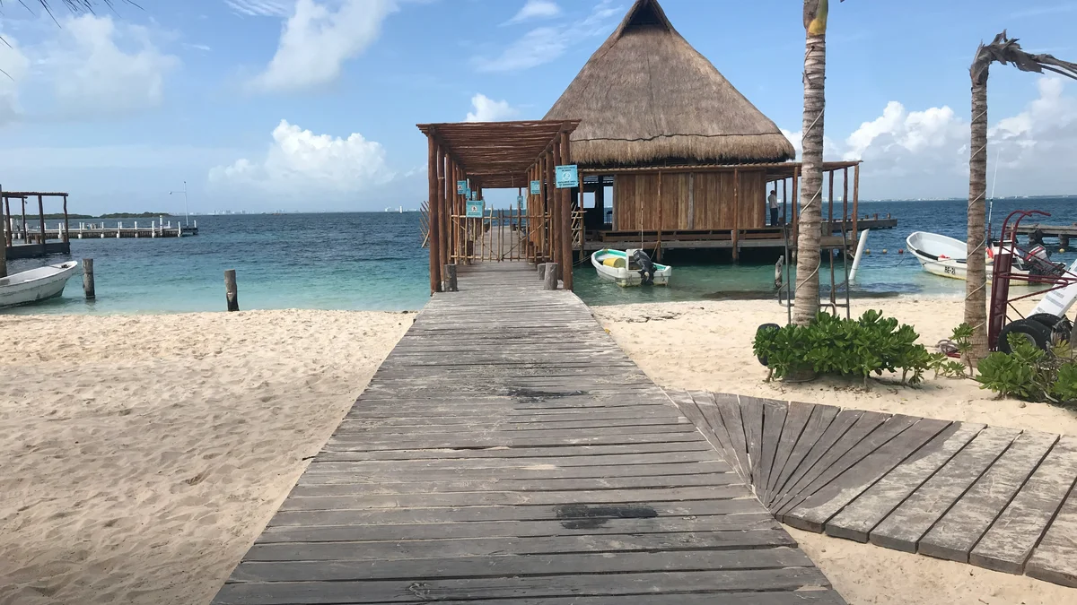
The downtown is walkable and busiest in the afternoon and evening. It is a convenient base for reaching Playa Norte, a short walk away at the northern end, and the rest of the island. A private guided visit can combine the town with other island sights after the ferry crossing.
See every tour and attraction we cover in Isla Mujeres.